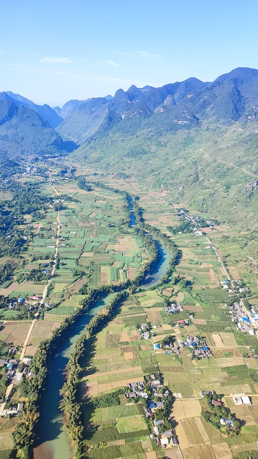
A relaxed 4-day, 3-night Hà Giang Loop itinerary: paragliding in Quản Bạ, Yên Minh, Lũng Cú, Đồng Văn Old Quarter, Mã Pí Lèng, Mèo Vạc and Du Già, plus how to shorten it to 3 days
Đội trưởng Mỹ · · 6 min read
If you have 4 days, this is the most complete and relaxed way to ride the Hà Giang Loop: the full loop of around 350 km, time for the detour up to Lũng Cú, a quiet night in Du Già, and a morning set aside to paraglide or paramotor over the Quản Bạ valley. Each day covers roughly 60–100 km, so there is no need to rush. At the end you will find a shorter 3-day, 2-night version and tips on scheduling your flight so the wind doesn't make you miss it.
4-day, 3-night itinerary at a glance
Day
Route
Distance (approx.)
Highlights
1
Hà Giang city → Quản Bạ → Yên Minh
100 km
Heaven's Gate, paragliding/paramotor
2
Yên Minh → Lũng Cú → Đồng Văn
50 km + 50 km round trip to Lũng Cú
Lũng Cú Flag Tower, Đồng Văn Old Quarter
3
Đồng Văn → Mã Pí Lèng → Mèo Vạc → Du Già
115 km
Nho Quế River, the road to Du Già
4
Du Già → Hà Giang city
85–90 km
Rice valleys, back to Km0
If you would rather fly at the end of the trip than at the start, you can take the Du Già → Quản Bạ road on day 4, fly that morning and only then head down to Hà Giang city.
Day 1: Hà Giang city → Quản Bạ (flight) → Yên Minh
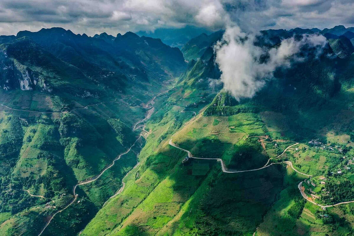
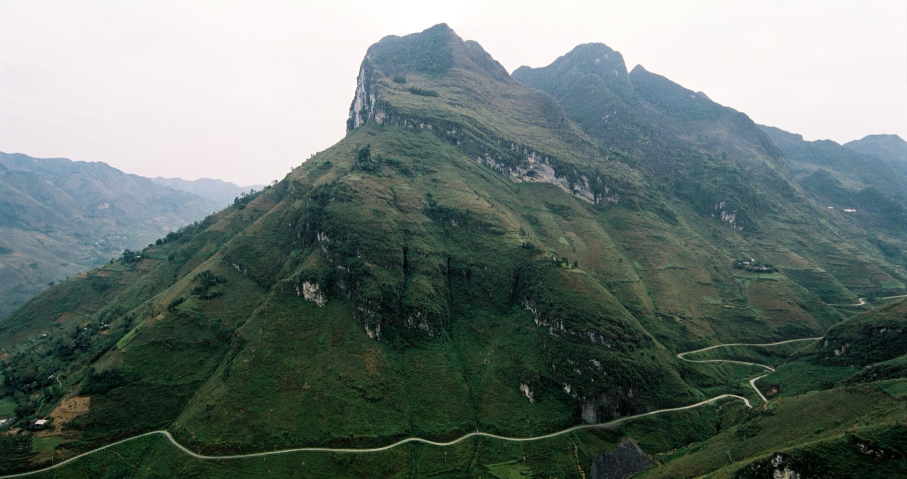
Set off early, around 6:00, from the city. National Road 4C climbs the Bắc Sum slope, and its first hairpins are a good warm-up for the mountain passes ahead.
Around 7:30: stop at Quản Bạ Heaven's Gate to see the Cô Tiên twin mountains (Fairy Mountains) and the Lùng Tám valley below.
Morning: fly at the Quản Bạ flying site (Km45, about 45 km and 1 hour 15 minutes from the city). Paragliders take off on foot from a mountaintop at around 950 m; paramotors take off from the valley floor beside the Miện River; both land at around 450 m. The 07:00–11:00 window is usually the best time of day.
Afternoon: have lunch in the centre of Quản Bạ commune, then ride about 55 km on through pine forest to Yên Minh. Overnight in Yên Minh.
How to fit the flight into your itinerary
The flight is the only part of the Loop that depends on the wind, so it deserves a little more planning.
Timing and meeting point
Flights run between 06:30 and 18:30; the best windows are usually 07:00–11:00 and 15:00–17:00.
The exact time is confirmed on the , once the pilots have checked the wind.
The meeting point is in Quản Bạ commune; the exact location is sent via Zalo/WhatsApp when your booking is confirmed. Arrive 30 minutes before your flight time.
Set aside the whole morning for Quản Bạ and don't plan the next leg too tightly.
Choosing your direction
Standard direction (Hà Giang city → Quản Bạ → Yên Minh): fly on the morning of day 1, then ride on the same day. This is the easiest way to plan.
Reverse direction (coming back from Mèo Vạc or Du Già): book an afternoon flight slot in Quản Bạ on your last day to watch the sun set over the tai mèo (cat-ear) limestone peaks before heading down to the city.
Getting around the flying site
Transfers between the meeting point, the take-off site and the landing field are included in the ticket price. If you leave your motorbike in the city or travel by bus, you can book the flight team's 4-seat car from Hà Giang city up to Quản Bạ for 500.000 đ/car/way. For directions, see the getting-there guide; for details of each package, see the flying sites page.
Day 2: Yên Minh → Lũng Cú → Đồng Văn
Yên Minh to Đồng Văn is only about 50 km, so today there is time for the Lũng Cú detour, about 25 km each way north of the Đồng Văn area.
Morning: ride the Chín Khoanh slope (Nine-Bend Pass) and the Thẩm Mã slope, and stop at the Vương family mansion in Sà Phìn or a cultural village along the way.
Midday: climb the steps to the Lũng Cú Flag Tower, at Vietnam's northernmost point, and look out over the villages and small lakes at the foot of the mountain.
Late afternoon and evening: head back to Đồng Văn Old Quarter (Km150) and stroll through the market and the lantern-lit streets in the evening.
For more stops in both places, see our Lũng Cú and Đồng Văn guides.
Day 3: Đồng Văn → Mã Pí Lèng → Mèo Vạc → Du Già
This is the most beautiful day, and also the longest.
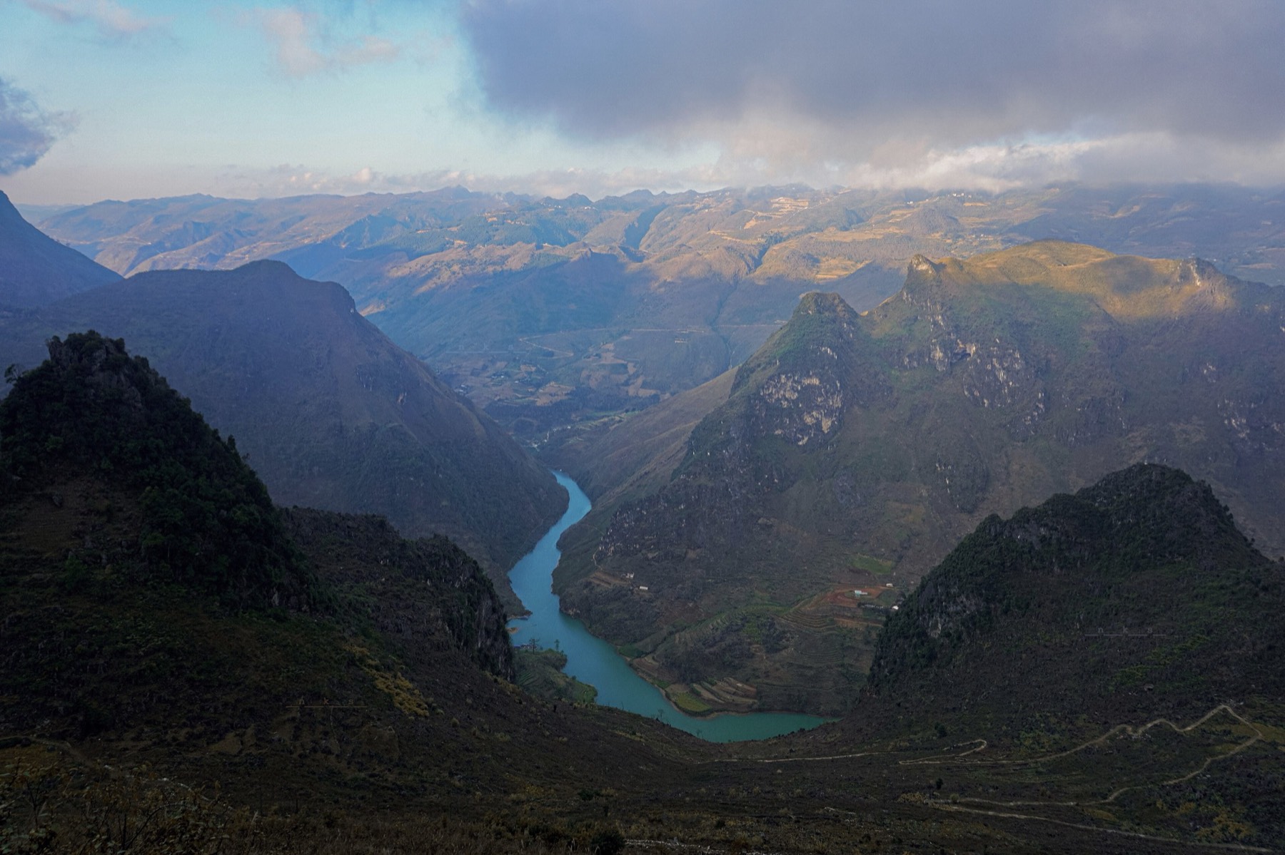
Early morning: ride about 20 km up to the Mã Pí Lèng Pass (Km170). The early sun lights up the Tu Sản Canyon and the jade-green Nho Quế River beautifully; if you have time, go down for a boat trip on the river.
Midday: reach Mèo Vạc (Km185) for lunch and a rest.
Afternoon: ride about 80 km to Du Già. This road has little traffic and many narrow mountain stretches. Leave before 14:00 so you arrive before dark.
Du Già is a small, quiet valley, perfect for a rest after two days on mountain passes.
Day 4: Du Già → Hà Giang city (or via Quản Bạ to fly)
You have two options:
Straight back to Hà Giang city: about 85–90 km through rice valleys, arriving in the early afternoon in time to catch a bus back to Hà Nội.
Back via Quản Bạ: take the Du Già → Quản Bạ road, go paragliding or paramotoring, then head down to Hà Giang city (about 45 km). This suits anyone who wants to save the flight as the "dessert" of the trip.
Only have 3 days and 2 nights?
You can still fly — just drop the night in Du Già:
Day 1: Hà Giang city → Quản Bạ (morning flight) → Yên Minh.
Day 2: Yên Minh → Thẩm Mã, Sà Phìn → Lũng Cú → Đồng Văn.
Day 3: Mã Pí Lèng, Nho Quế River → Mèo Vạc → back to Hà Giang city.
This pace is tighter, so you will have more or less one chance to fly. Keep an eye on the wind forecast 2–3 days ahead to choose your departure date.
Tips for the 4-day itinerary
Book your flight 1–2 days ahead, stating the day you will pass through Quản Bạ, especially during buckwheat flower season. No deposit, no prepayment.
Keep a back-up slot: if you return via Du Già, you pass through Quản Bạ twice (day 1 and day 4); if the wind is bad on the first day, you still have a chance to fly on the last. Weather cancellations are free, and the flight team will reschedule.
Ride in daylight and avoid mountain passes after 17:00, especially the Mèo Vạc – Du Già stretch.
Frequently asked questions
Is 4 days too long for the Hà Giang Loop?
No. Over 4 days you only ride about 3–4 hours a day, leaving the rest for photo stops, meals and rest. It is the right pace for anyone new to mountain passes or riding with an easy rider.
Should I fly in Quản Bạ or Đồng Văn on this itinerary?
Quản Bạ offers both paragliding and paramotor, flies every day and sits right on the first leg, so it is easy to schedule. Đồng Văn has paragliding only, with flights scheduled in advance depending on the wind, so you need to call the hotline to ask beforehand.
How much does paragliding in Quản Bạ cost?
A standard 10–15 minute tandem paragliding flight is 2.290.000 đ/guest; a 15-minute tandem paramotor flight is 2.590.000 đ/guest. Prices include GoPro photos and video, insurance and transfers within Quản Bạ. Nothing to pay when you book; you pay at check-in at the flying site, before your flight.
What if the wind is bad on the day I pass through Quản Bạ?
The flight team lets you know in the morning and reschedules free of charge. If you follow the 4-day itinerary returning via Du Già, you can fly on the last day.
Picked your day to pass through Quản Bạ? Book your flight online or call the Hotline / Zalo / WhatsApp +84 964 073 555.
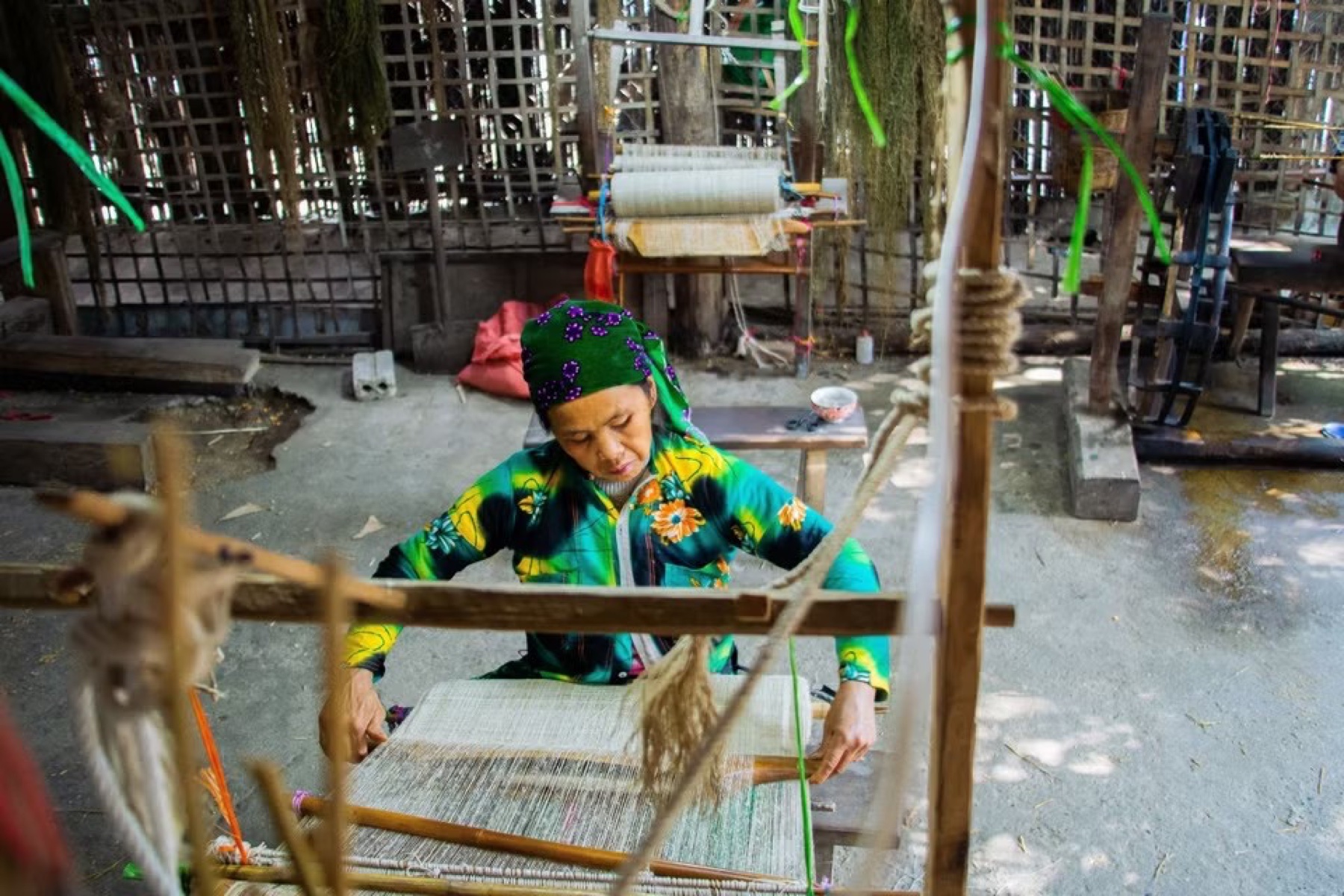
Visit the Lùng Tám linen weaving cooperative in the Quản Bạ valley: watch Hmong women spin linen, weave cloth, draw patterns in beeswax and dye with indigo, then try it yourself — an easy pairing with a paragliding flight…
Only have 2 days? A condensed Hà Giang Loop itinerary through Quản Bạ – Yên Minh – Đồng Văn – Mã Pí Lèng, with time for a morning paragliding flight in Quản Bạ…
Easy rider vs riding a motorbike yourself on the Hà Giang Loop: time and cost, safety on the passes, documents, and how to stop for paragliding in Quản Bạ on the way…