Easy rider or riding a motorbike yourself on the Hà Giang Loop: the tricky passes (Thẩm Mã, Mã Pí Lèng, the road down to Tràng Hương bridge), the new Cán Tỷ – Yên Minh road, fuel, cash, weather and how to stop for paragliding in Quản Bạ.
Ms. Judy · · 20 min read
If you have never ridden mountain passes for days on end, go with an easy rider; if you are confident on a manual bike, hold a valid licence and are happy to take it slowly, riding the Hà Giang Loop yourself will be a truly memorable trip.
The first question when planning the Hà Giang Loop: should you hire an easy rider (a local driver who carries you on the back of the bike) or ride a motorbike yourself? The loop runs for about 350 km around the Rocky Plateau, with plenty of steep passes and blind bends. This article helps you judge for yourself: which stretches are genuinely hard, what a day with an easy rider looks like, how to sort out fuel, cash and documents, and how to stop for paragliding in Quản Bạ without wrecking your schedule.
What is an easy rider?
An easy rider is a local driver who knows the mountain passes and carries you as a passenger around the whole Loop. Many also double as guides: they know where to stop for photos, where to eat, where to refuel and what to do if the bike breaks down.
The biggest difference is where your eyes are pointed. On the back, you get to look at the mountains and the valleys and raise your camera whenever you like. At the handlebars, your eyes have to stay glued to the road surface, the bend ahead and the truck that has just appeared at the top of the slope. Both ways have their appeal; you just need to choose the one that matches your stamina and skills.
Keep reading
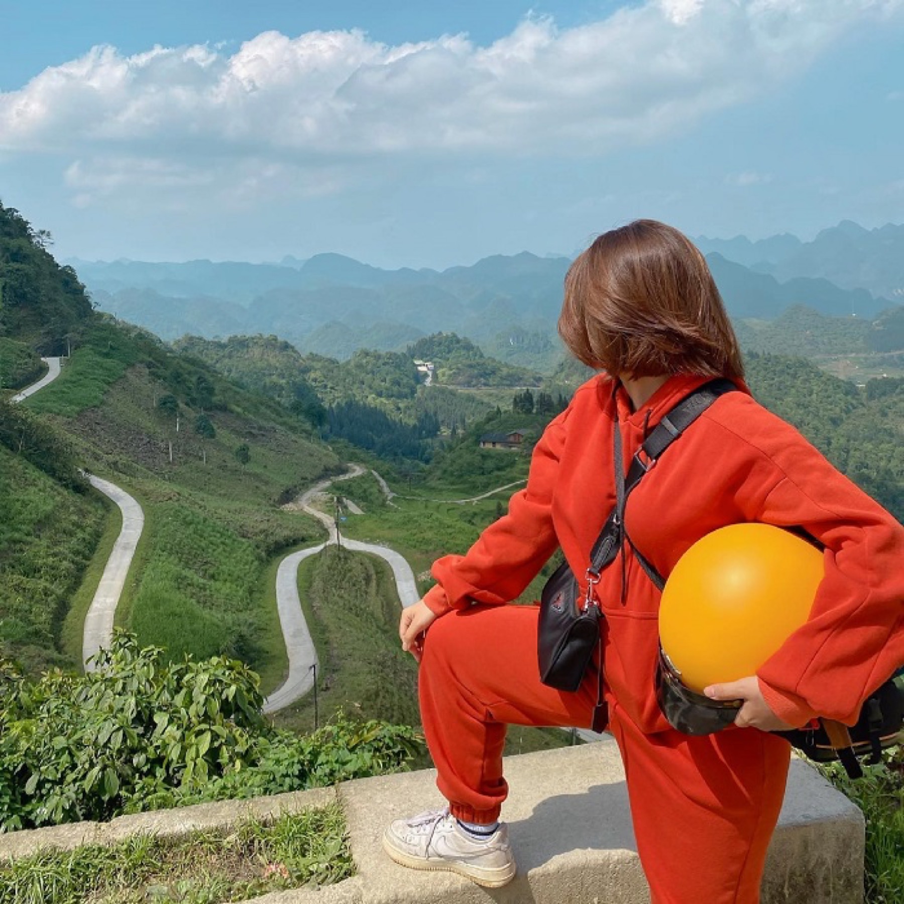
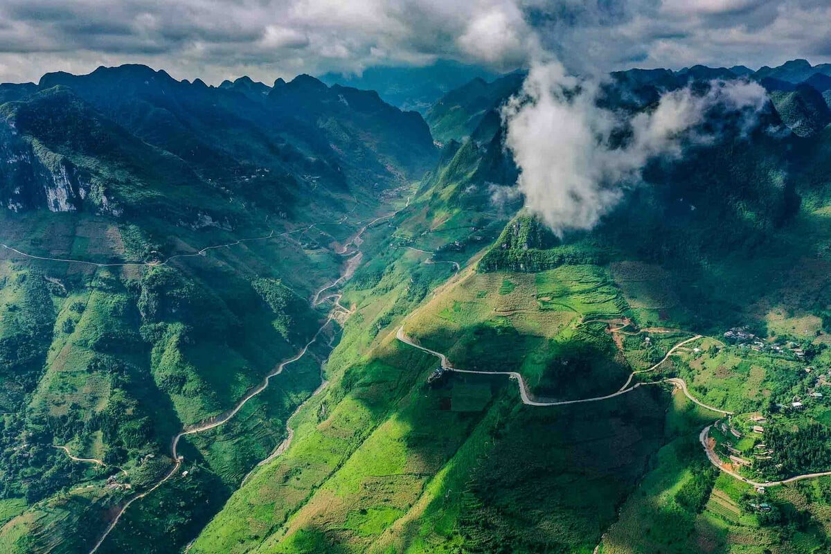
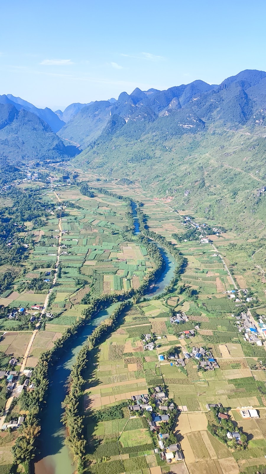
The winding mountain road seen from the Quản Bạ take-off site
Quick comparison
Criteria
Easy rider
Riding yourself
Skills needed
None
Confident on a manual bike, used to mountain descents
Safety level
Higher for beginners
Entirely up to you
Sightseeing
Relaxed, hands free for photos
You must focus on the road
Schedule freedom
Needs agreeing with your driver
Completely up to you
Directions, fuel, food
Your driver handles most of it
You find and plan it all yourself
Fatigue
Low
High, especially on days 2–3
Cost
Higher
Lower
When should you choose an easy rider?
You have never ridden mountain passes, or you are only used to scooters in the city.
You don't hold a valid motorbike licence in Vietnam.
You are travelling solo and would like a local by your side.
You are travelling in the season of fog, drizzle or bitter cold, when the passes are much harder to ride.
You want to save your energy for experiences like climbing to the Lũng Cú flag tower, a boat trip on the Nho Quế River or paragliding in Quản Bạ.
When can you ride yourself?
You have ridden manual bikes for years and know how to use engine braking on long descents.
You hold a motorcycle driving licence that matches the type of bike.
You are travelling in a group with at least one person experienced on mountain passes.
You don't mind taking extra time, riding slowly and stopping often.
A compromise many groups choose: the confident riders ride themselves, those who are less used to it sit behind an easy rider, and the whole group travels together. You can also ride the easy stretches yourself and ask a local to take you through the parts you're not confident about, such as the road down to the Nho Quế River boat dock.
Documents, licence and insurance
Citizen ID card or passport (for foreign visitors). You'll need it when checking in and when entering areas near the border such as Lũng Cú.
A valid motorcycle driving licence if you ride yourself. Foreign visitors need a licence recognised in Vietnam, for example an International Driving Permit under the 1968 Convention, or a licence converted to a Vietnamese one.
Vehicle registration papers (rental shops usually provide them).
Travel insurance, if you have it — note that many policies won't pay out if you ride without a valid licence.
If you don't have a suitable licence, an easy rider is the most sensible choice: you still ride the whole loop without having to worry about paperwork at the handlebars.
Before leaving Hà Giang city
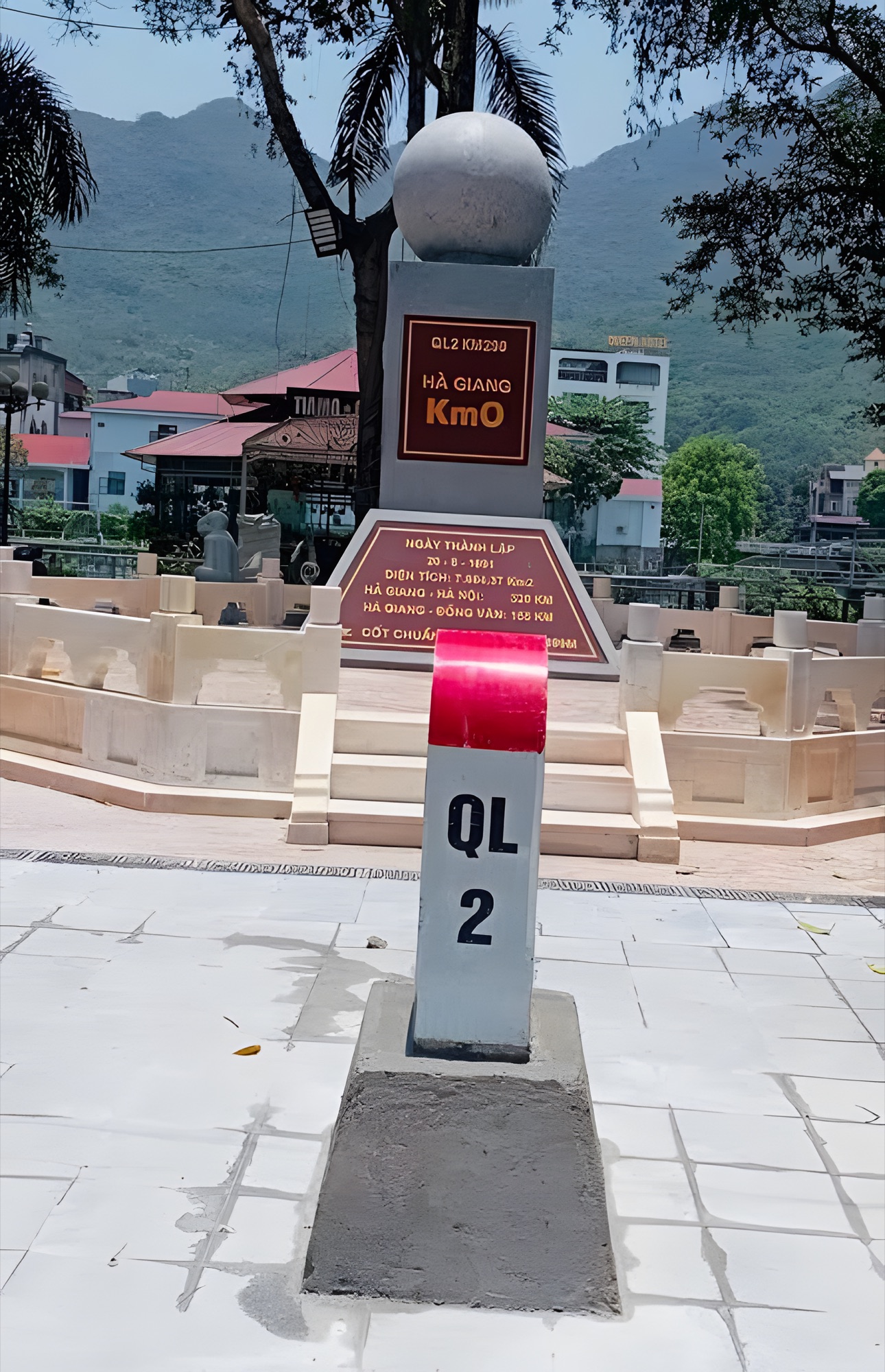
Hà Giang city is Km0 of the Loop, where most travellers get off the sleeper bus from Hanoi and then rent a bike or hire an easy rider. Whichever option you choose, spend 10 minutes checking the following before you set off:
A two-piece rain suit (avoid poncho-style raincoats on mountain passes, as the wind easily catches them).
Gloves, a face mask, a visor or sunglasses.
Warm clothes you can layer: up on the plateau, early mornings and nights are much colder than in the city.
A power bank and offline maps on your phone.
Phone numbers for your bike rental shop, your accommodation and the flying team if you plan to fly in Quản Bạ.
Enough cash for the whole trip, as some places on the Loop don't accept bank transfers or have weak signal.
Your flight booking, with the date and time slot you'll pass through Quản Bạ clearly noted.
Only a compact backpack for 3–4 days; leave large luggage behind in the city.
The Hà Giang Km0 marker on National Road 2, the starting point of the Hà Giang Loop
A day on the Loop with an easy rider
Every driver has their own habits, but a typical day usually goes like this:
Morning: breakfast, load your backpack onto the bike; the driver checks the bike, fills up with fuel and you set off. Leaving early gives you more daylight for the passes.
On the road: stop where there's a wide verge to take photos, stretch your legs and have a drink. Drivers usually know which spots have a great view and are still safe to park.
Midday: lunch in a town along the way, such as Tam Sơn (Quản Bạ) or Yên Minh, and a short rest to ease your back.
Afternoon: ride the rest of the stage and arrive at your accommodation before dark. In November–December the sun sets around 17:15–17:30.
Evening: dinner, rest, and agree on the next day's departure time.
Agree with your driver in advance on each day's itinerary, the maximum riding hours, the places you want to linger (the paragliding site, Mã Pí Lèng Pass, the Nho Quế River boat dock) and who takes care of accommodation and meals. Sitting on the back all day is tiring too: don't hesitate to ask for a break, remind your driver to slow down if you feel uneasy, and don't doze off on the bike. Suggestions for splitting the stages are in our article on a 4-day, 3-night Hà Giang Loop itinerary.
The stretches that need the most care
Most of the Loop is paved, but a few stretches demand far more concentration. These are the places that make many self-riders decide to hire an easy rider.
Stretch
Why it needs care
Advice
Hà Giang city – Quản Bạ (Bắc Sum slope, Heaven Gate)
A long climb right after leaving the city, many bends
Get used to the bike here, ride slowly
Quản Bạ – Yên Minh (new road via Cán Tỷ)
Good but new road, maps may not be updated yet
Ask the way in Cán Tỷ, refuel beforehand
Yên Minh – Đồng Văn (Thẩm Mã slope, Chín Khoanh slope)
Continuous hairpin bends, climbing up to the Rocky Plateau
Shift down, don't stop for photos mid-bend
Mã Pí Lèng Pass
Sharp bends, some sections right next to the drop
Stop at wide spots, don't look back while riding
Pả Vi – Tràng Hương bridge
Steep descent, many bends, gravel or slippery after rain
Only ride down yourself if you're used to passes
Hà Giang city – Quản Bạ: Bắc Sum slope and Heaven Gate
Leaving the city on National Road 4C (QL4C), the road starts climbing almost immediately. It's about 45 km to the centre of Quản Bạ, roughly 1 hour 15 minutes of riding without stops. Bắc Sum slope, with its winding bends, is the first pass of the journey, followed by Quản Bạ Heaven Gate, where the road crosses a saddle between two mountainsides before dropping into the valley.
If you're riding yourself, treat this stage as a warm-up: practise shifting down, test the brakes and get used to how heavy the bike feels with luggage. If you want photos, stop where there's a wide verge, never in the middle of a bend.
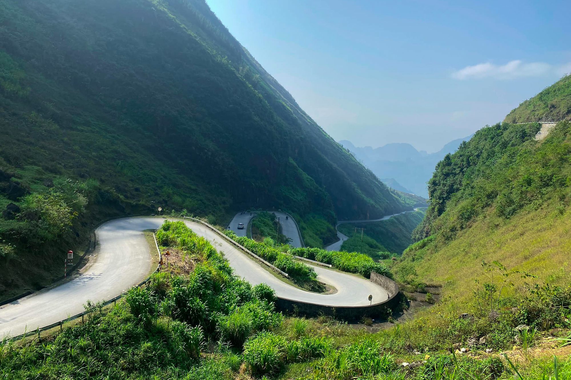
The road winding below Quản Bạ Heaven Gate — Photo: Benjamin Smith, CC BY-SA 4.0, Wikimedia Commons
Quản Bạ – Yên Minh: the new Cán Tỷ – Yên Minh road
From the centre of Quản Bạ there are two ways to get to Yên Minh:
National Road 4C: about 50 km, following the Miện River through Cán Tỷ; a beautiful mountain road but with many bends, taking about 1 hour 30 minutes to 2 hours depending on how often you stop.
The new inter-commune road: take QL4C to the Cán Tỷ rest stop, turn onto the road through Lao Và Chải, then rejoin QL4C about 7–8 km before Yên Minh town. The whole stretch is only about 31.4 km, almost 20 km shorter. The road is newly built, the surface is excellent and the scenery is lovely — this is the route we recommend.
Because the road is so new, some map apps may not show it fully yet. If you're unsure about the turn-off, ask locals in Cán Tỷ, your host, or the flying team if you've just flown in Quản Bạ. There are still few shops along the way, so fill up and buy water in Quản Bạ before you go. Small children, cattle and goats may wander into the road, even on the new road.
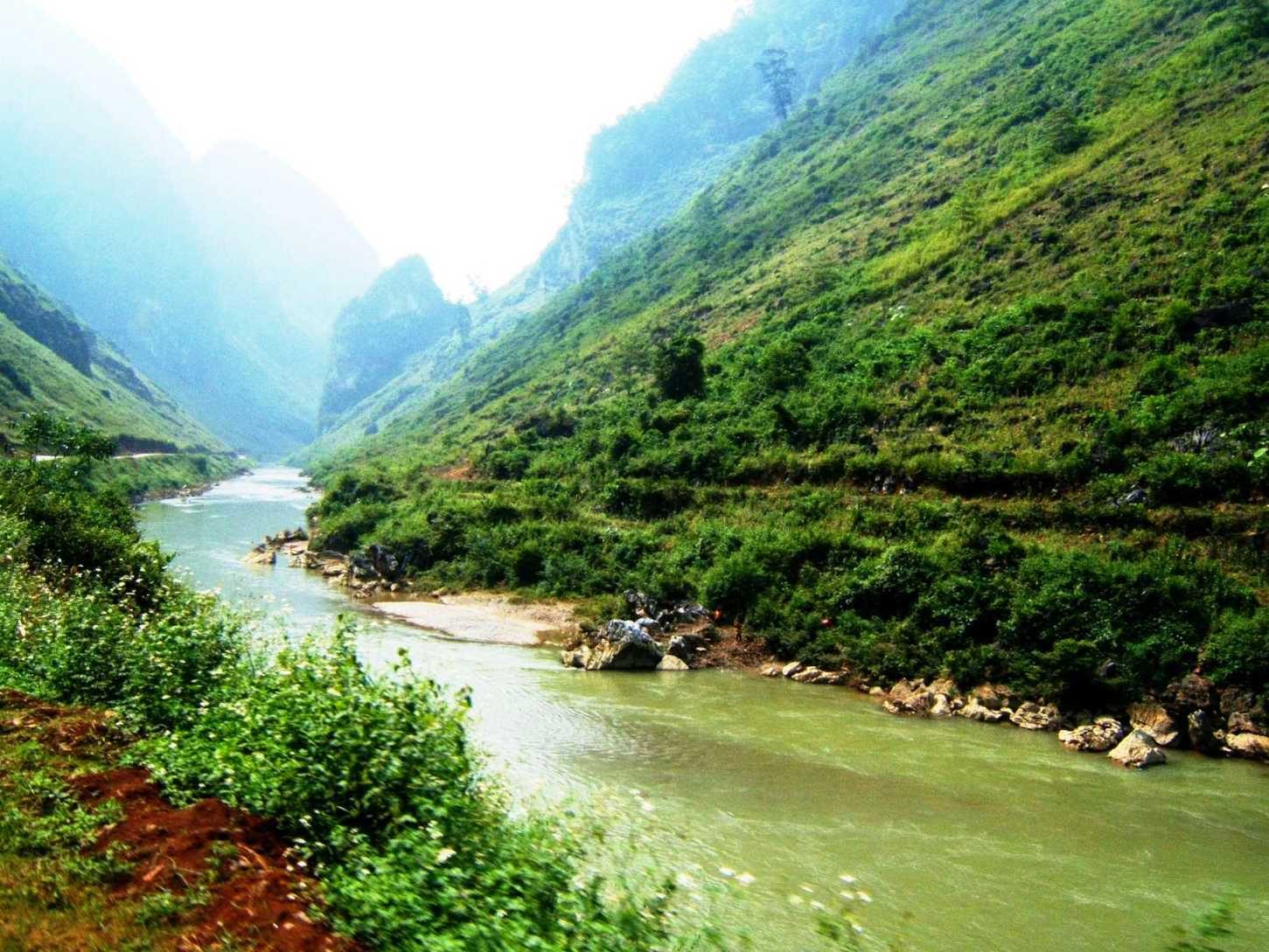
The Miện River where it passes through Cán Tỷ commune, Quản Bạ; National Road 4C runs along the bank — Photo: BacLuong at Vietnamese Wikipedia, public domain, Wikimedia Commons
Yên Minh – Đồng Văn: Thẩm Mã slope and Chín Khoanh slope
From Yên Minh up to Đồng Văn town is about 45–50 km on QL4C, taking roughly 1 hour 30 minutes to 2 hours without stops. This is where the scenery changes most noticeably: leaving the green valleys and pine forests behind, the road gradually climbs into the land of jagged karst rock.
Thẩm Mã slope near Phố Cáo is a string of hairpin bends between two sheer mountainsides; at the top there's a viewpoint looking back over the whole road you've just climbed. Past Phố Cáo comes Chín Khoanh slope, where QL4C winds through nine bends before dropping into the Sủng Là valley.
On long climbs, shift a manual bike into a low gear; on descents use engine braking rather than squeezing the brakes constantly.
Park close to the edge, switch on your indicator, and don't stand taking photos in the middle of a bend.
The road up to the plateau is full of climbs and uses more fuel than you'd expect: fill up in Yên Minh.
Hairpin bends on Thẩm Mã slope — Photo: NKSTTSSHNVN, CC BY-SA 4.0, Wikimedia Commons
Mã Pí Lèng Pass
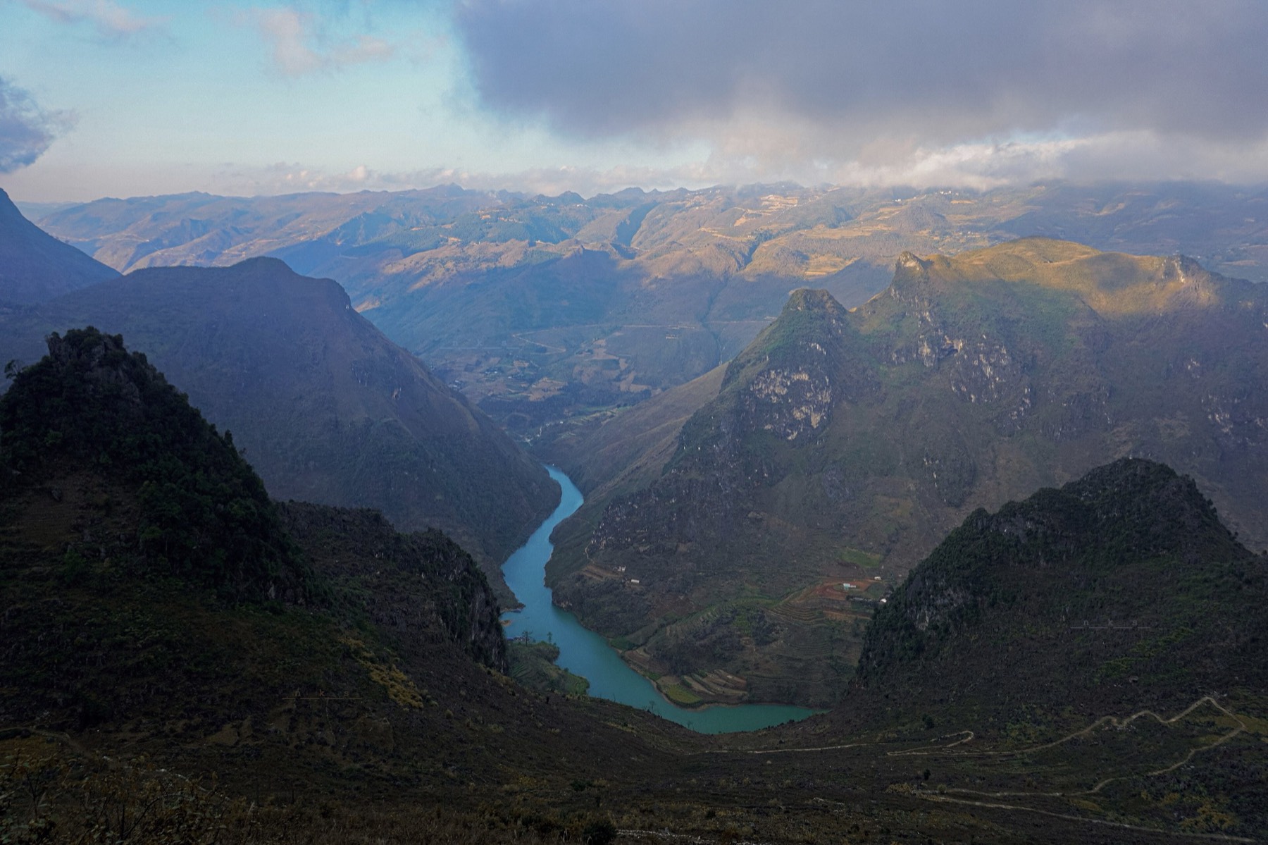
Mã Pí Lèng Pass is a stretch of QL4C about 20 km long, at around 1,200 m, linking Đồng Văn and Mèo Vạc at roughly Km170 of the Loop. It's paved but full of sharp bends, with some sections running right along the drop, looking straight down into the Tu Sản canyon and the Nho Quế River. This is the stage where an easy rider is worth it most: you get to sit on the back and take in the view instead of watching the road.
When you meet a truck or a coach, slow down and give way at a wide spot.
If you want to take in the view, stop completely at a wide spot; don't look back while riding.
The rocky outcrops at the edge of the drop have no railings, the wind is strong and the rock can be slippery: stand well back from the edge and don't strike risky poses.
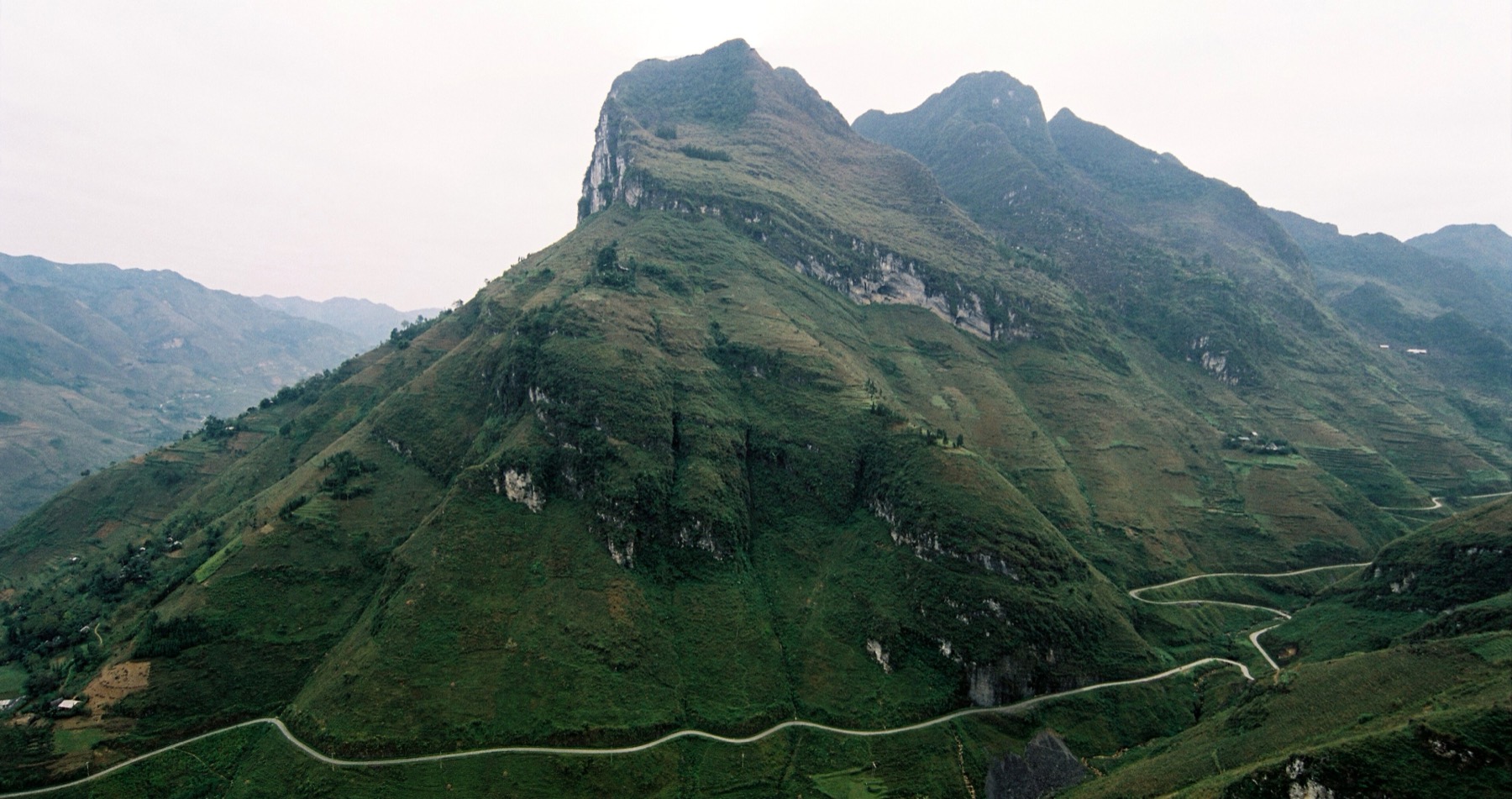
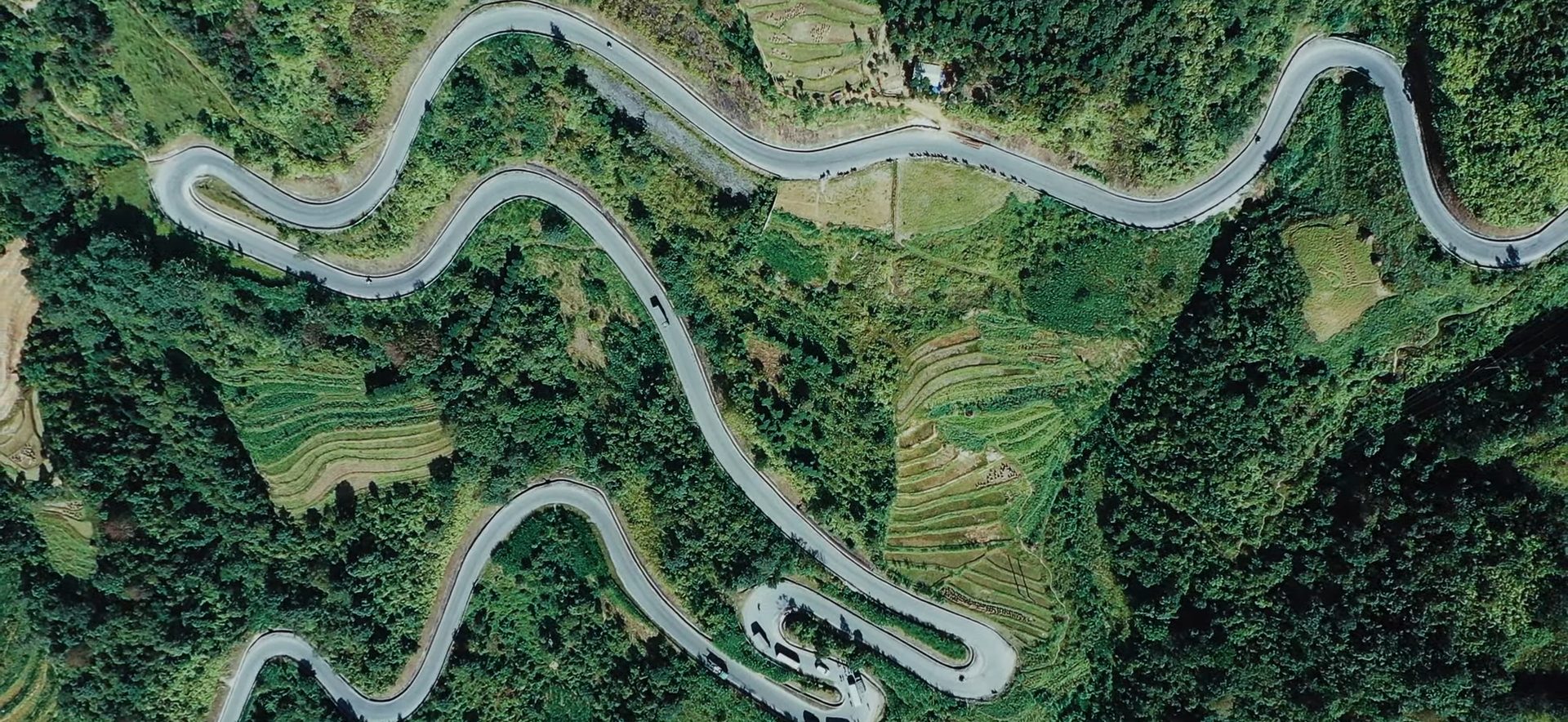
The winding pass road at Mã Pí Lèng seen from above — Photo: Cat Studio, CC BY 3.0, Wikimedia Commons
From Pả Vi down to Tràng Hương bridge (the Nho Quế River boat dock)
To take a boat on the Nho Quế River, ride the whole of Mã Pí Lèng Pass to Pả Vi, turn left onto the road towards Xín Cái, then descend to Tràng Hương bridge, below the Nho Quế 1 hydropower dam. At the foot of the bridge there's a ticket office, a car park and toilets; from there an electric shuttle takes visitors to the dock. As of the August 2026 update, the Tà Làng dock no longer takes visitors, so don't turn down there following old maps; check with your accommodation before you go, as things may change.
The Pả Vi – Tràng Hương bridge stretch is a steep mountain descent with many bends, and the surface may have gravel or be slippery after rain. Only ride down yourself if you're already used to mountain passes: check your brakes first, descend in a low gear, brake evenly on both wheels and don't coast; on the way up keep the throttle steady and don't stop mid-slope. If you're not confident, let an easy rider or a local take you down this stretch.
Safe riding technique on mountain passes
Stretches such as Bắc Sum slope, Thẩm Mã slope, Chín Khoanh slope and Mã Pí Lèng Pass are stunning but demand your full attention. Whether you ride yourself or sit on the back, remember:
Descend in a low gear, using both front and rear brakes, and don't ride the brakes constantly.
Don't cross into the other lane on blind bends, and sound your horn before entering a corner.
Give way to coaches and trucks, especially on narrow sections.
Don't ride after dark or in thick fog. If fog rolls in, turn on your lights, slow down or stop somewhere safe.
Check your bike every morning: brakes, tyres, lights and chain.
Wear a helmet with the strap fastened, a thick jacket and closed-toe shoes.
Don't drink — not even one cup of corn wine offered at lunch. If you go with an easy rider, you're also entitled to ask your driver not to drink.
Weather, fog and riding hours
The weather decides how hard the Loop is just as much as the road does. October–December is the dry season and skies are usually clearer, but early mornings and evenings on the plateau are very cold, often only around 5–15 °C in November–December, and colder still in Đồng Văn. Late December and January can bring frost in the highlands.
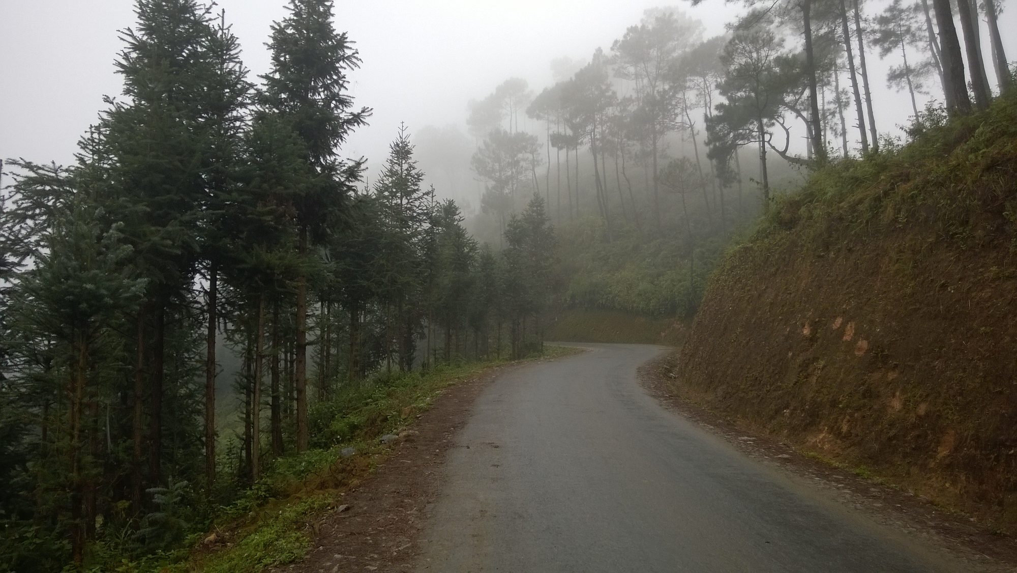
Fog: late afternoons and winter can bring thick fog, especially around the Yên Minh pine forest and on the tops of the passes. Turn on your lights, ride slowly, and if you can't see the edge of the road clearly, stop and wait.
Short days: in November–December it gets dark early, so plan to reach your accommodation by around 17:00. Avoid riding the passes after dark.
After rain: watch out for small stones and soil washed onto the road below cut slopes, and for slippery surfaces on descents.
Cold wind on the bike: sitting behind an easy rider you move very little, so you'll feel even colder than the person riding. Wear layers and bring gloves and a scarf.
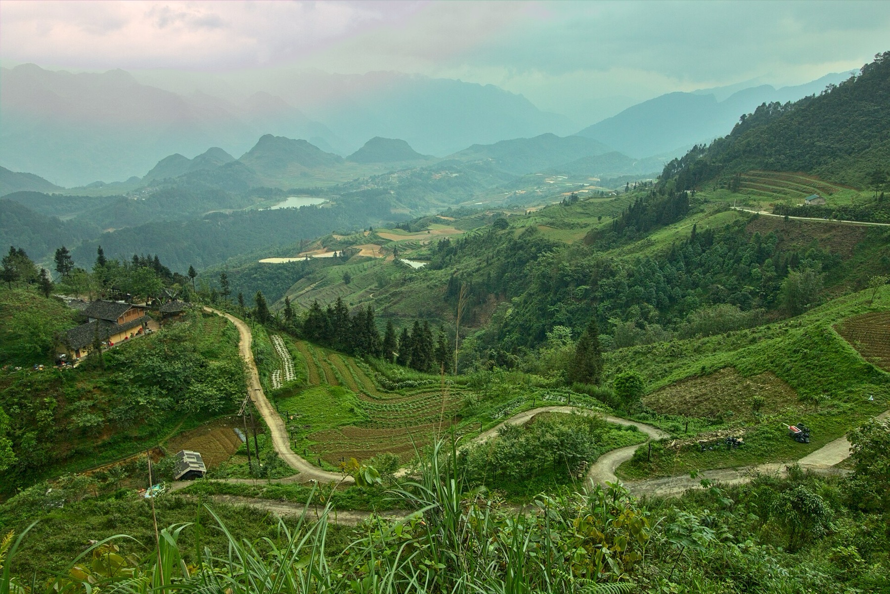
The road through a line of conifers in the mist, Yên Minh district — Photo: Vuong Tri Binh, CC BY-SA 4.0, Wikimedia Commons
Fuel and cash
Running out of fuel in the middle of a pass is one of the most common headaches for self-riders. The rule is simple: fill up in every town, don't wait for the needle to drop low.
Where to refuel and get cash
Notes
Hà Giang city
Withdraw enough cash for the whole trip, fill up before you leave
Tam Sơn (centre of Quản Bạ)
Has a petrol station and usually an ATM; fill up before heading to Yên Minh, especially if you take the new road
Yên Minh town
Has a petrol station; withdraw more cash if you're short before heading up
Đồng Văn, Mèo Vạc
Fill up before riding Mã Pí Lèng Pass or going to Lũng Cú
The higher you go, the rarer ATMs become. Many restaurants, homestays, weekly markets and sightseeing ticket desks only take cash, and phone signal can be patchy. Carry small notes for roadside stalls and small villages. If you go with an easy rider, make clear from the start who pays for the driver's fuel, meals and accommodation, so there's no awkwardness along the way.
Stopping to paraglide in Quản Bạ on the Loop
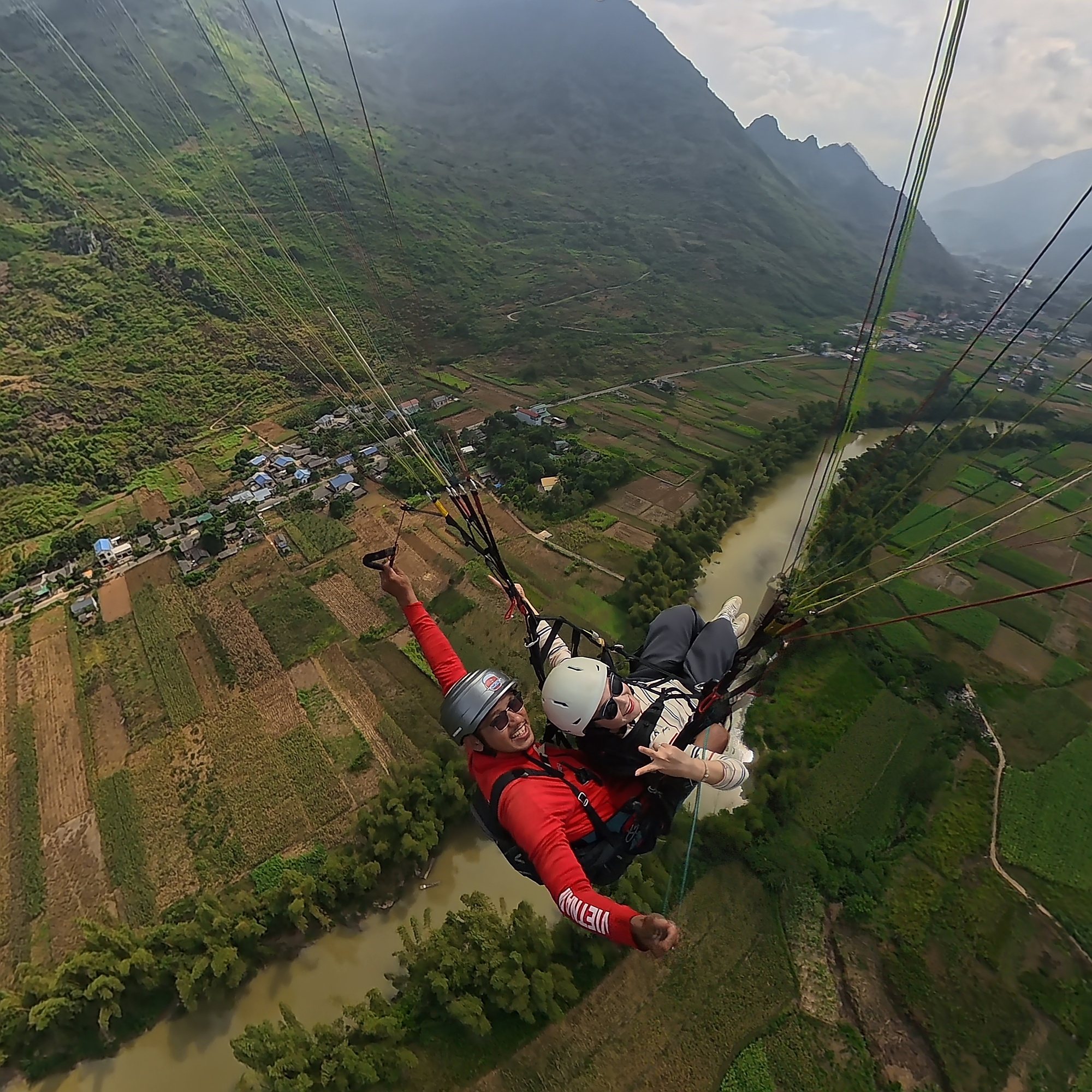
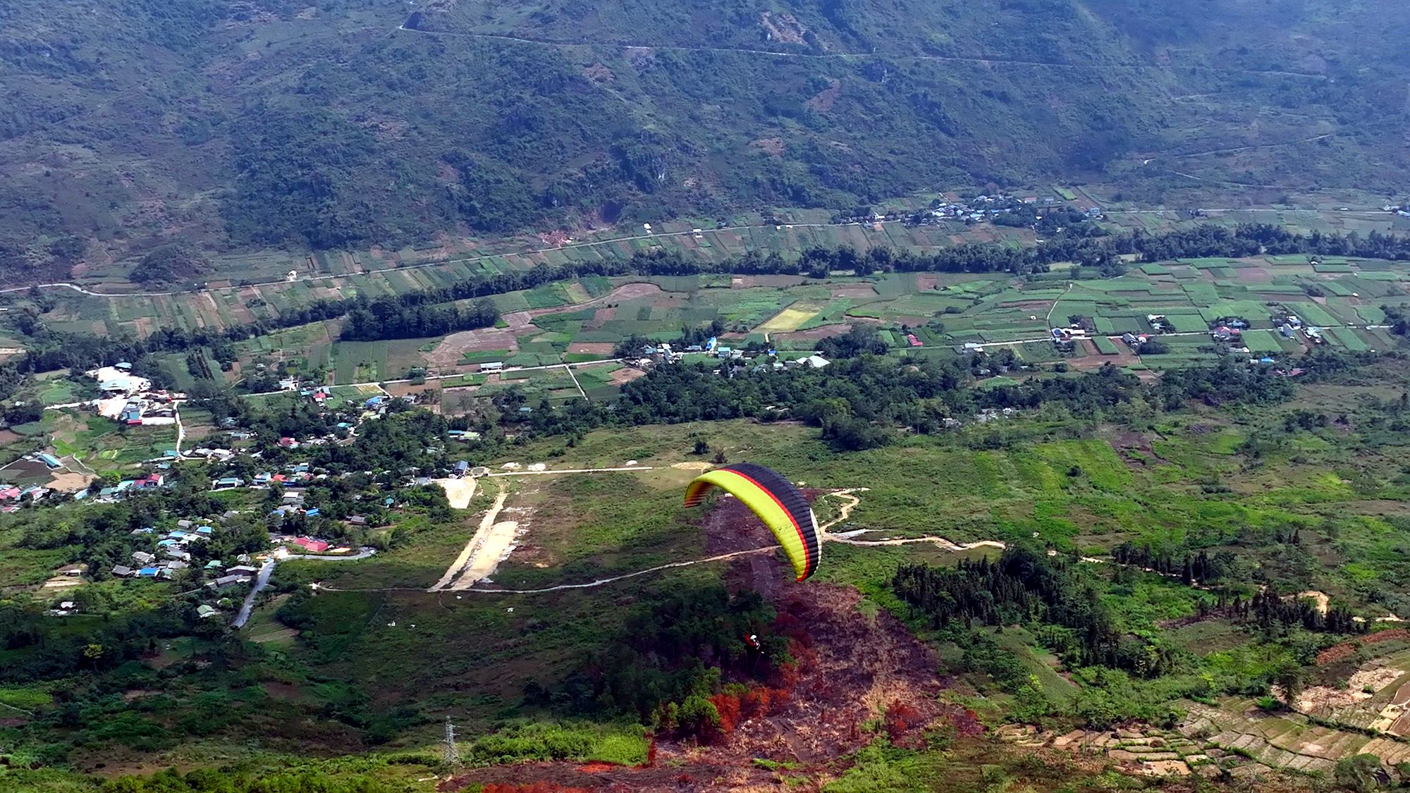
Whether you go with an easy rider or ride yourself, the Quản Bạ flying site (around Km45) is right on your route. The paragliding take-off is on a mountainside at about 950 m; the paragliding landing field, which is also the paramotor take-off, lies in a wide valley beside the Miện River, right next to QL4C and before Cán Tỷ, that is, before the turn-off onto the new road to Yên Minh. After your flight you simply carry on, with no need to double back. Both easy riders and self-riders can ride into either field.
Let us know your time slot in advance when you book: no deposit, nothing to pay when booking, you pay at check-in on the day of your flight. Mornings are usually calm, which suits a Loop itinerary.
Arrive about 30 minutes before your flight time. The flying site is open daily 06:30–18:30. The whole flying session takes about 1.5–2 hours.
Your easy rider can wait for you at the landing field while you fly.
If you're staying in the Quản Bạ area (Nậm Đăm, Cán Tỷ, Lùng Tám, Tam Sơn, H'Mong Village…), the flying team picks you up and drops you off for free, so you can leave your bike at your accommodation.
Riding yourself: get enough rest before you ride on. You'll usually be buzzing after the flight, so drink some water and have a light snack before getting back on the bike.
Sunset flights: the flight ends close to dark, so stay the night in Quản Bạ rather than riding the passes at night. See our article on staying overnight in Quản Bạ.
Weather: we only fly when wind and visibility are safe; the flying team checks the forecast and confirms your flight time on the morning of the flight. If the weather is bad, you get free rescheduling. Keep an eye on it beforehand on our flying weather page.
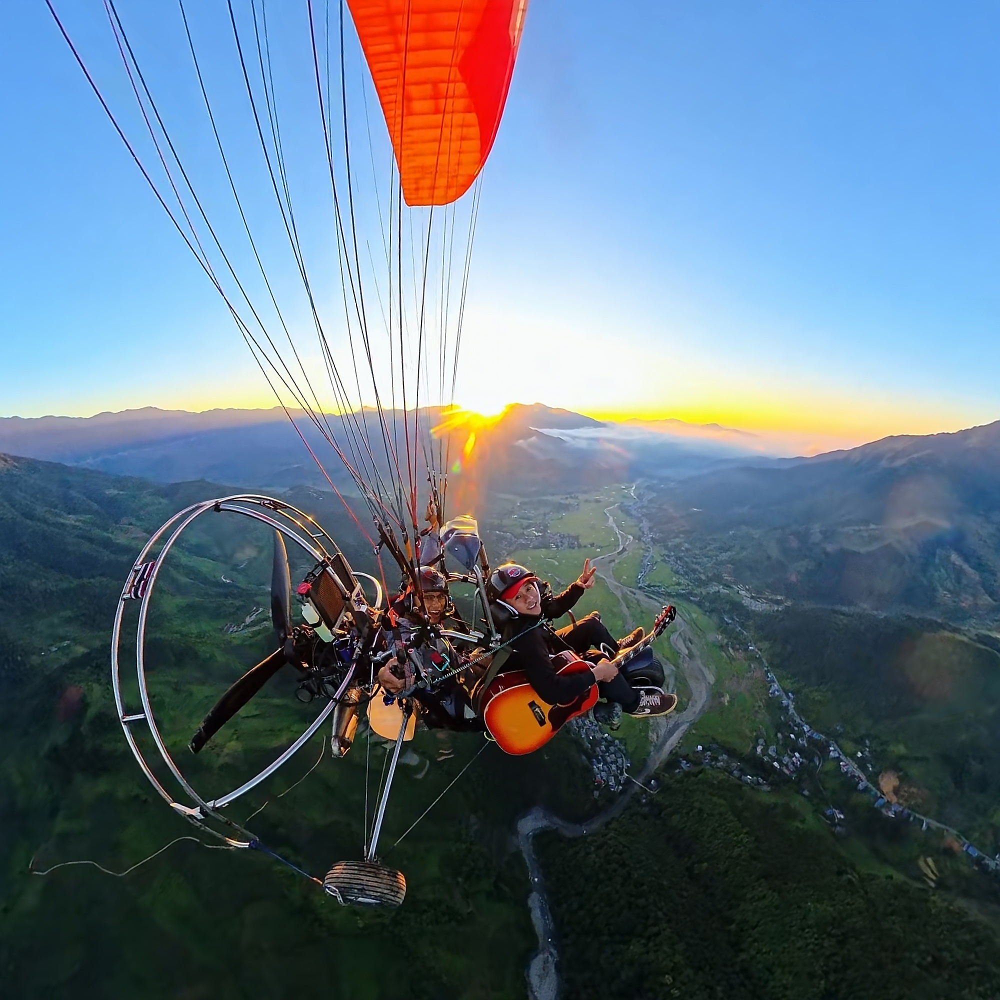
A neat itinerary for Loop travellers: spend the first night in Quản Bạ, fly in the morning (a sea of clouds often appears early in the morning after a cold, damp night), then take the new Cán Tỷ – Yên Minh road, have lunch in Yên Minh and ride up to Đồng Văn in the afternoon. The standard 9–15 minute paragliding package costs 2,290,000 VND (≈ US$ 91) per guest, and the 15-minute paramotor flight 2,490,000 VND (≈ US$ 99) per guest; both include a GoPro video, insurance and drinking water. No experience is needed; if it's your first time, have a read through our flight safety standards.
If you'd like to fly in Đồng Văn, contact us in advance: Đồng Văn offers paragliding only, and flights are scheduled around the wind. See the Quản Bạ stage guide for stops around the flying site.
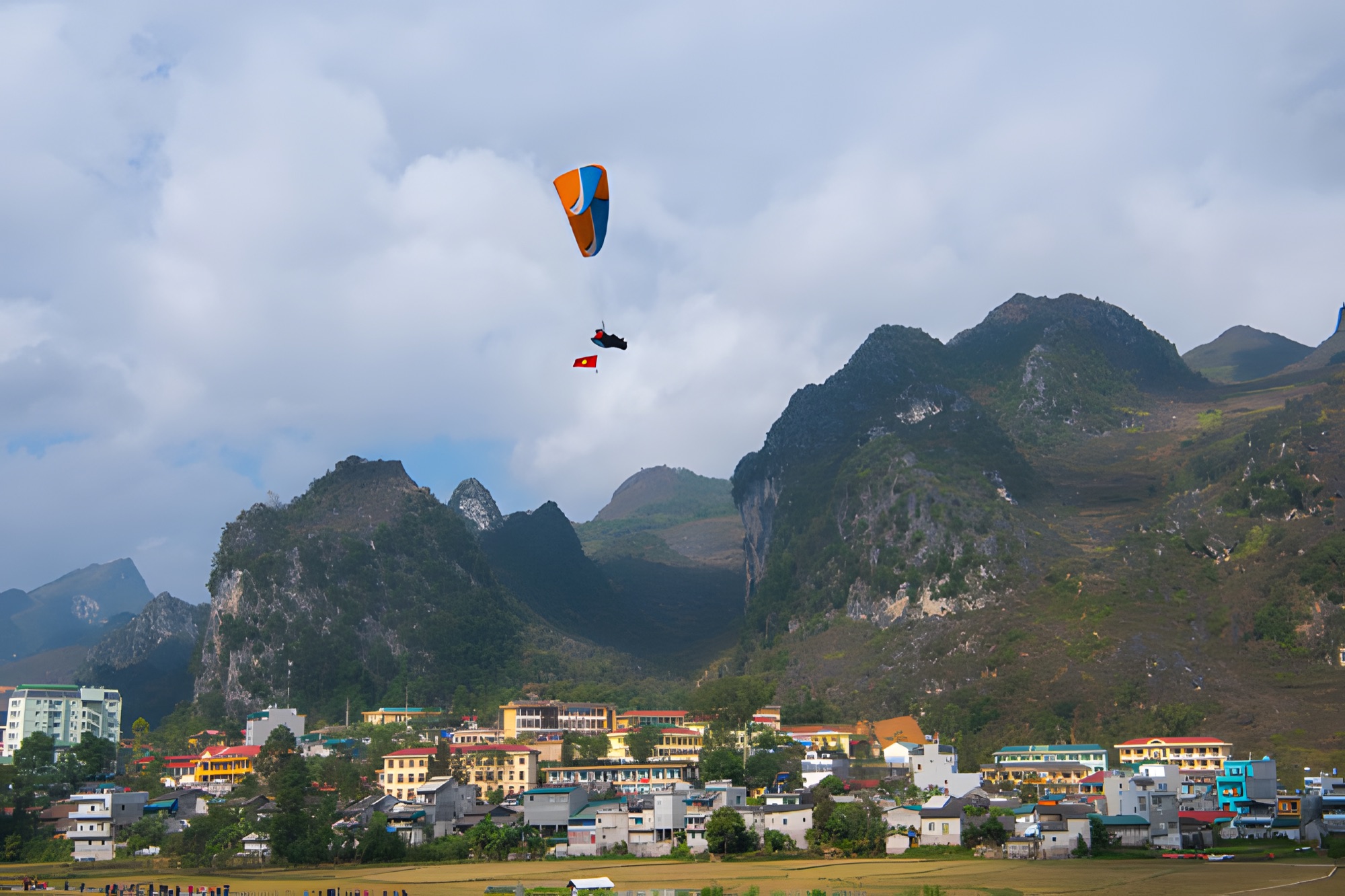
A pilot and passenger on a tandem paraglider above the Miện River, Quản Bạ
Frequently asked questions
Can you do the Hà Giang Loop on a scooter?
Yes, but a semi-automatic or manual-clutch bike is better suited to the long descents because you can use engine braking. If you ride a scooter, go slowly and stop to let the brakes cool. For the Pả Vi – Tràng Hương bridge stretch, let a local take you if you're not used to mountain passes.
Can I stop to paraglide if I go with an easy rider?
Yes. Just ask your driver to stop in Quản Bạ and book your flight in advance. Your driver can wait at the landing field while you fly.
Is the new Cán Tỷ – Yên Minh road hard to ride?
No. It's newly built, the surface is excellent and it's almost 20 km shorter than QL4C. The things to watch for are that phone maps may not be fully updated, there are still few shops along the way and livestock may wander onto the road. Fill up in Quản Bạ and ask the way in Cán Tỷ if you're unsure.
Should I ride after dark?
Better not. After dark it's very hard to see the edge of the road and the bends, fog easily rolls in during late afternoons and in winter, and people and livestock may be in the middle of the road. Plan to reach your accommodation before dark, especially in November–December.
Should I ride a motorbike from Hanoi to Hà Giang?
It's around 300 km, which is quite tiring before you even start the Loop. Most travellers take a sleeper bus to Hà Giang city and then rent a bike or hire an easy rider there. See the ways to get there in our article on getting from Hanoi to Hà Giang.
Cover photo: Khánh Hmoong, CC BY 2.0, Wikimedia Commons
Book a flight:book online — no deposit, free cancellation
Christmas and New Year (24/12/2026 – 1/1/2027) is peak time on the Hà Giang Loop. Welcome the year in the air at Quản Bạ with cloud-chasing or sunrise paramotor and sunset paragliding, plus 3- and 4-day plans, group booking, gift ideas, warm clothing and winter road safety tips…
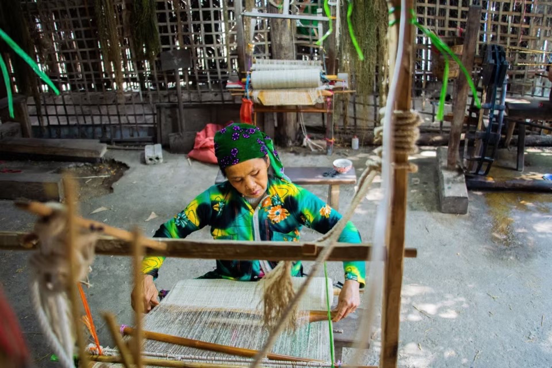
Visit the Lùng Tám linen weaving cooperative in the Quản Bạ valley: watch Hmong women spin linen, weave cloth, draw patterns in beeswax and dye with indigo, then try it yourself — an easy pairing with a paragliding flight…
A day-by-day 4-day, 3-night Hà Giang Loop itinerary: paragliding in Quản Bạ, the new Cán Tỷ – Yên Minh road, the Hmong King's Palace, Lũng Cú, Đồng Văn old quarter, Mã Pí Lèng, a Nho Quế river boat, Mèo Vạc and Du Già, plus Sunday markets and a 3-day version…
Only have 2 days? A realistic Hà Giang Loop plan: fly in Quản Bạ on the first morning, take the new Cán Tỷ – Yên Minh road, spend the night in Đồng Văn, see Mã Pí Lèng at dawn and ride back — plus what to skip and two 3-day options…
Bắc Sum Pass or Quản Bạ? A side-by-side look at the two flying sites on the QL4C near Hà Giang city: distance, landing field, valley width, paragliding and paramotor, a flying morning at Quản Bạ, getting there and fitting the flight into the Hà Giang Loop…
Quản Bạ or Đồng Văn? An honest comparison of our two flying sites on the Hà Giang Loop: location, getting there, scenery, paragliding vs paramotor, what a flying session looks like, wind and schedule, price, and how to fly both…