Hà Giang Loop in 2 days, 1 night for travellers short on time
Only have 2 days? A realistic Hà Giang Loop plan: fly in Quản Bạ on the first morning, take the new Cán Tỷ – Yên Minh road, spend the night in Đồng Văn, see Mã Pí Lèng at dawn and ride back — plus what to skip and two 3-day options.
Ms. Judy · · 22 min read
You can do the Hà Giang Loop in 2 days and 1 night if you fly in Quản Bạ on the first morning, take the new Cán Tỷ – Yên Minh road, sleep in Đồng Văn, see Mã Pí Lèng early the next morning and then head back — and if you accept saving Lũng Cú, the Nho Quế boat trip and Du Già for another time.
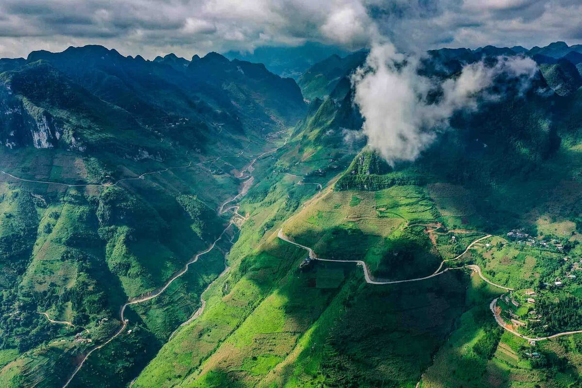
Two days are not enough for the full Loop of about 350 km. But they are enough to see what made the road famous: Quản Bạ Heaven's Gate and the Cô Tiên twin mountains, a paragliding or paramotor flight over the Miện river valley, the Yên Minh pine forest, the Thẩm Mã slope, a night in Đồng Văn old quarter and the Nho Quế gorge seen from the Mã Pí Lèng pass. This article gives you a realistic itinerary with times, what to skip, and two ways to stretch it to 3 days if you can get one more day off.
A small note: since 1 July 2025, Hà Giang province has been merged into Tuyên Quang province. On paper these places now belong to Tuyên Quang, but travellers and locals still call the road the Hà Giang Loop.
The itinerary at a glance
Day
Route
Distance (approx.)
Overnight
Day 1
Hà Giang City → Quản Bạ (flight) → new Cán Tỷ – Yên Minh road → Đồng Văn
Keep reading
125 km (about 145 km if you stay on Highway 4C all the way)
Đồng Văn
Day 2
Đồng Văn → Mã Pí Lèng → back via Yên Minh and Quản Bạ → Hà Giang City
165 km
Hà Giang City, or a night bus to Hà Nội
The distances are not huge, but these are mountain roads: endless bends, steep climbs, and you will want to stop all the time. Plan on a much lower average speed than on lowland roads, and always leave a buffer so you arrive before dark.
Is a 2-day Loop right for you?
Go for it if you:
Are travelling on a weekend, with one day to get up from Hà Nội and 2 days on the Loop.
Are used to riding mountain passes, or are travelling with an easy rider.
Want a first "taste" of Hà Giang and plan to come back for the full loop.
Think again if you:
Have never ridden a motorbike on mountain roads yourself. Two days means riding non-stop, with no spare time to go slowly. An easy rider is safer and more relaxed; compare the two in easy rider or riding yourself.
Plan to arrive on the night bus from Hà Nội and start the Loop straight away without proper sleep. The passes ahead need you fully alert. It's better to reach the city the afternoon before; see getting from Hà Nội to Hà Giang.
Are going when long, heavy rain is forecast. After rain the passes can have falling rocks and mud on the road, and a 2-day plan has no room to wait for the weather to clear.
What to keep, what to skip
The secret of a 2-day Loop is choosing well. Here is what we keep and what we suggest saving for later.
Keep
Save for next time (or a 3-day plan)
Quản Bạ Heaven's Gate, the Cô Tiên twin mountains
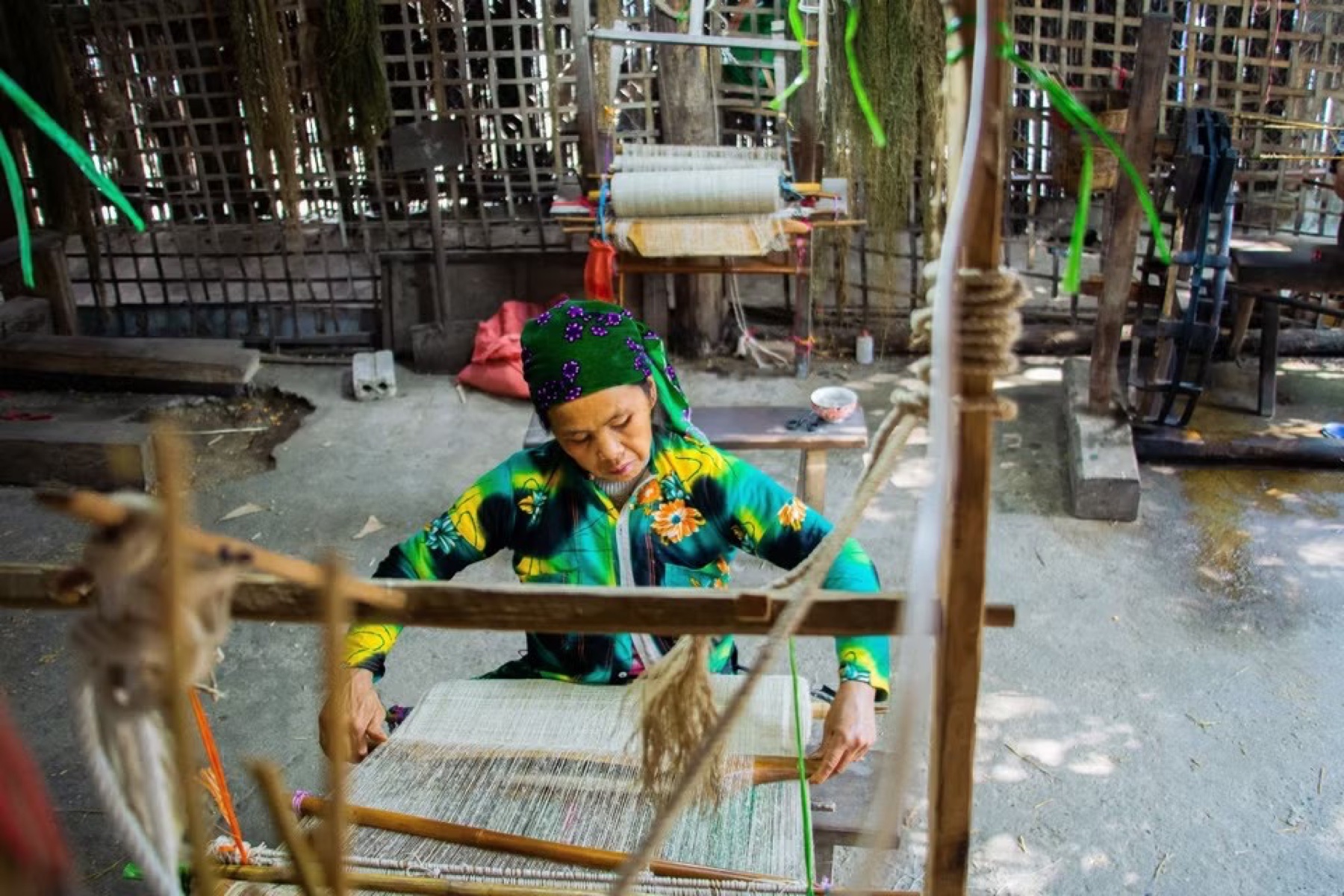
Nậm Đăm village, the Lùng Tám linen-weaving village
Paragliding or paramotor in Quản Bạ
Paragliding in Đồng Văn (booked in advance, wind permitting)
The new Cán Tỷ – Yên Minh road, the Yên Minh pine forest
Riding the whole of Highway 4C via Cán Tỷ
The Thẩm Mã slope, the Chín Khoanh (Nine Bends) slope
Visiting both Pao's House and the Hmong King's Palace (pick one)
One night in Đồng Văn old quarter
Lũng Cú flag tower (about 50 km round trip from Đồng Văn)
Mã Pí Lèng summit in the early morning
The full Sky Path walk (2–3 h), the Nho Quế boat trip (2–3 h)
Riding back via Yên Minh and Quản Bạ
Mèo Vạc market, the Mèo Vạc – Du Già stretch
Day 1 — Hà Giang City → Quản Bạ (fly) → Yên Minh → Đồng Văn
5:45–7:15: leave the city, stop at Quản Bạ Heaven's Gate
An early start is what makes this itinerary work. Leave Hà Giang City on Highway 4C; the road starts climbing as soon as you leave town. From the city to the centre of Quản Bạ is about 45 km, roughly 1 h 15 min of riding without stops; with photo stops, count 1 h 30 min or more.
Stop for about 15 minutes at Quản Bạ Heaven's Gate, which looks down on the Tam Sơn valley and the Cô Tiên twin mountains. Early-morning light is soft and the valley often still has mist. Don't linger too long: the next place you need to be is the flying site.
The winding road below Quản Bạ Heaven's Gate — Photo: Benjamin Smith, CC BY-SA 4.0, Wikimedia Commons
7:30–9:30: paragliding or paramotor in Quản Bạ
The Quản Bạ flying site is at about Km45 of the Loop and is open every day from 06:30 to 18:30. Arrive about 30 minutes before your flight. On a 2-day plan, pick the earliest slot when you book and add a note that you're doing a 2-day Loop so the team can schedule you accordingly.
You have two options:
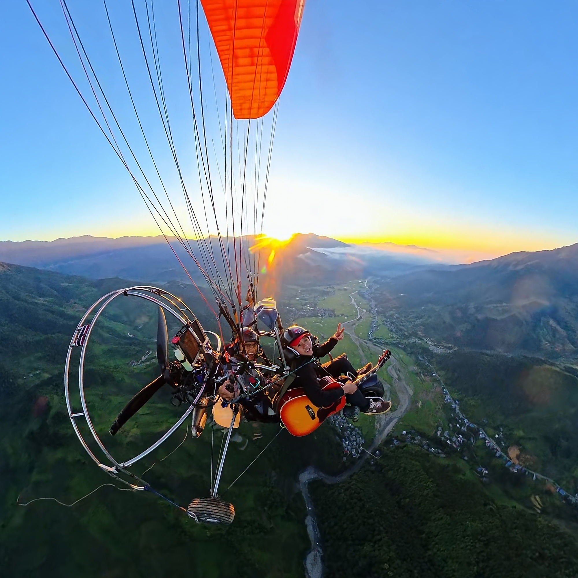
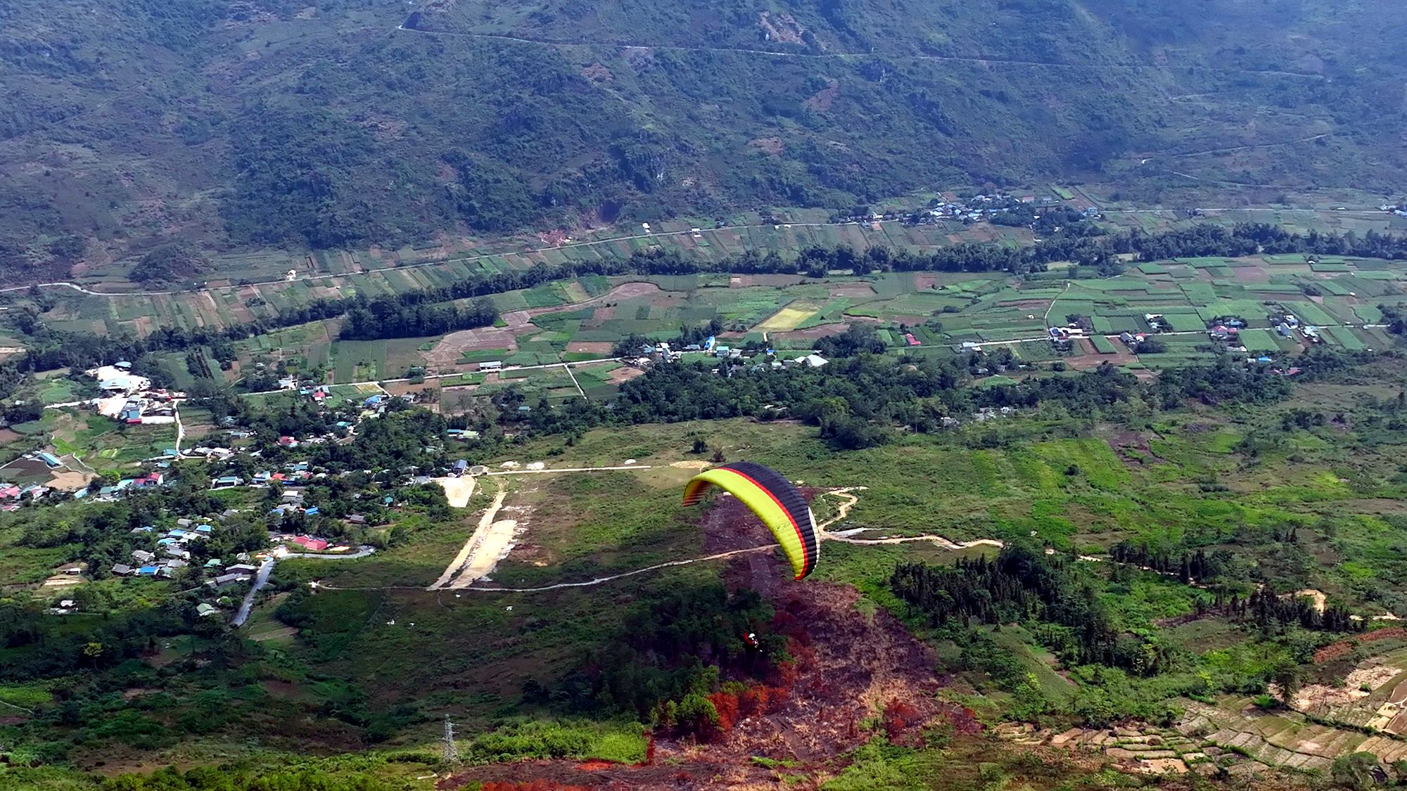
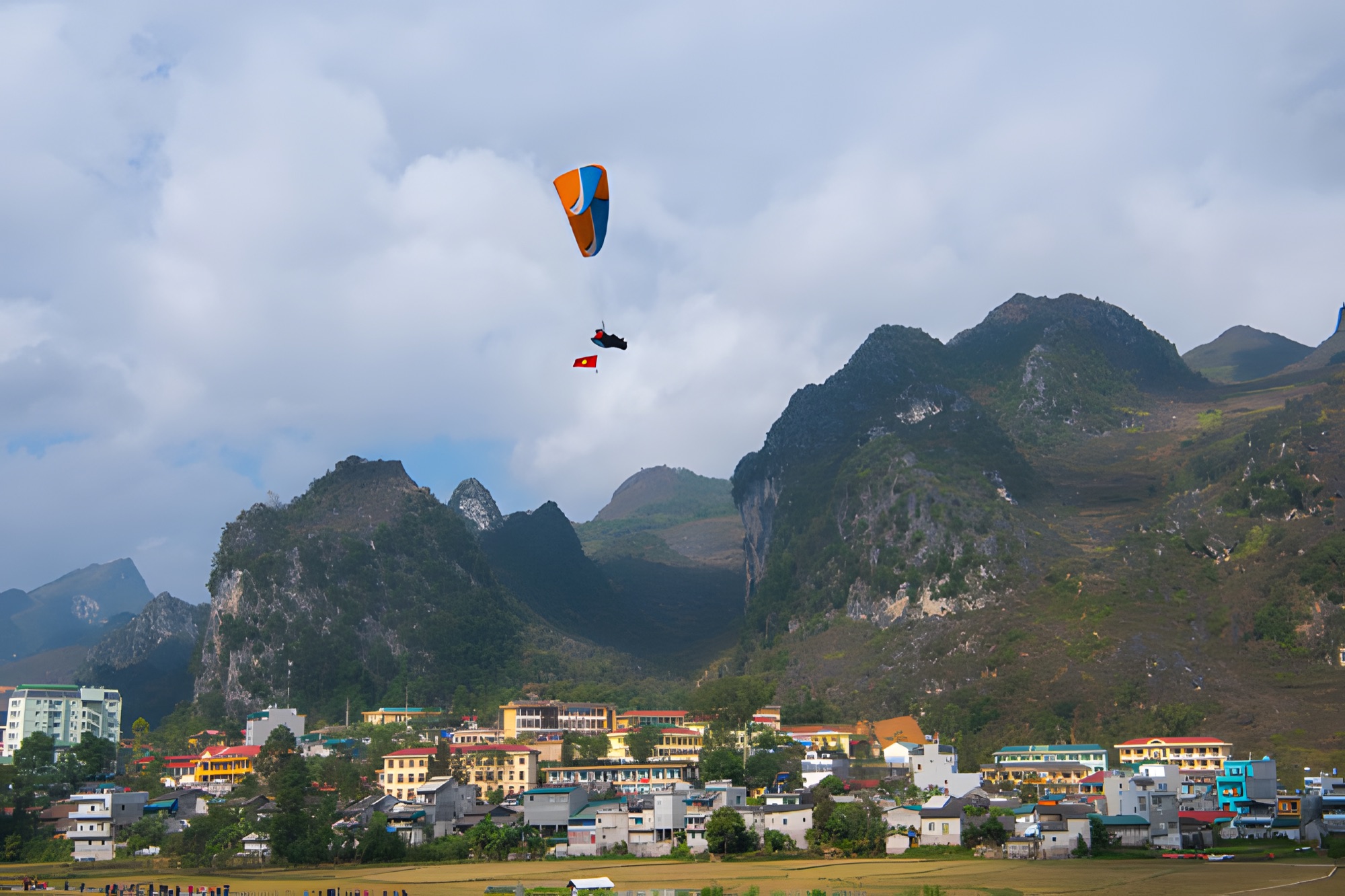
Tandem paragliding (PG): a foot launch from a ridge at about 950 m, 9–15 minutes in the air depending on the wind, landing in a flat field at about 450 m in the middle of the valley, next to the Miện river. Smooth and quiet, just the sound of the wind.
Paramotor (PPG): takes off from the flat field right next to the Miện river, 15 minutes of flying. There's engine noise, but it depends slightly less on the wind direction on the ridge.
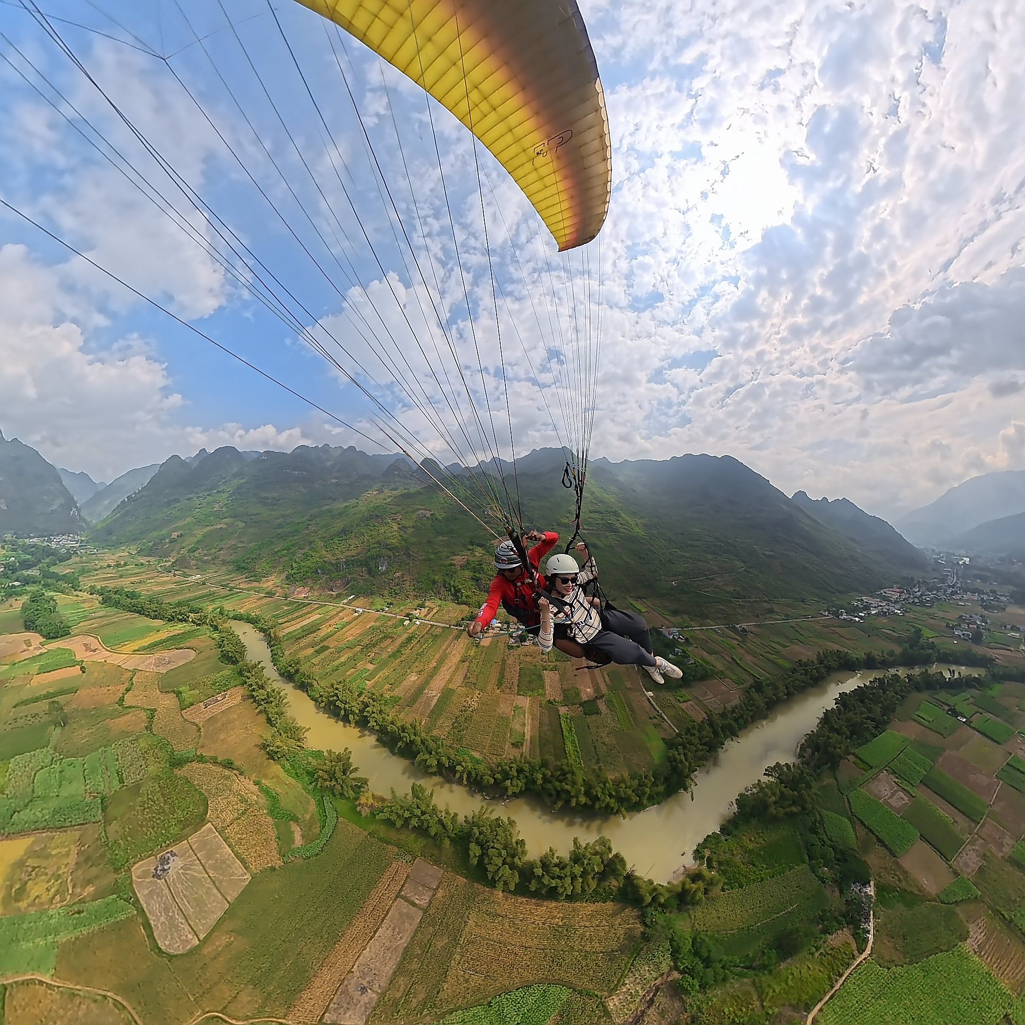
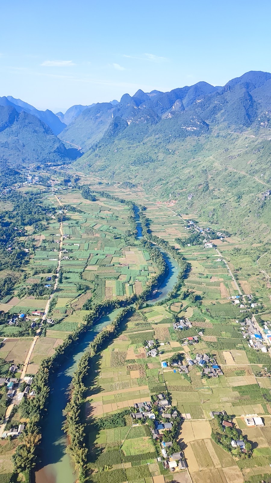
From above you see the Cô Tiên twin mountains, the road up to Heaven's Gate, jagged limestone peaks, corn fields and the bends of the Miện river. No experience is needed; children from 3 years old can fly; guests over 90 kg, or with heart conditions, pregnancy, recent surgery or epilepsy, please tell the team in advance. The whole session — arriving, harness fitting, briefing, the flight, and getting back to your bike — takes about 1.5–2 hours. Motorbikes and easy riders can ride straight to both the take-off and the landing field.
A tandem paraglider over a bend of the Miện river in the Quản Bạ valley
Finish flying before about 10:00 and you still have enough time for the whole afternoon stretch. The team only flies when wind and visibility are safe and confirms your flight time that morning; if you can't fly, see "What if you can't fly on day one?" below.
10:00: the new Cán Tỷ – Yên Minh road
From the landing field you don't need to backtrack: continue along Highway 4C down the Miện river valley to the Cán Tỷ rest stop, then turn onto the new inter-commune road through Lao Và Chải, which rejoins Highway 4C about 7–8 km before Yên Minh town. From Quản Bạ centre the whole ride is only about 31.4 km, almost 20 km shorter than staying on Highway 4C (about 50 km).
On a 2-day plan this is the road to take: newly built with a very good surface, it contours along the mountainsides with many open views over valleys, corn fields and villages. The last section is shared with Highway 4C, so you still ride through the Yên Minh pine forest.
The road is new and some map apps may not show it yet. If you're unsure where to turn, ask locals in Cán Tỷ, or ask the flying team right after your flight.
Fill up and buy water in Quản Bạ before you go; don't count on shops along the way.
A smooth surface tempts you to speed up. It's still a mountain road: children, buffalo and goats can wander onto it, so give a light toot of the horn on blind bends.
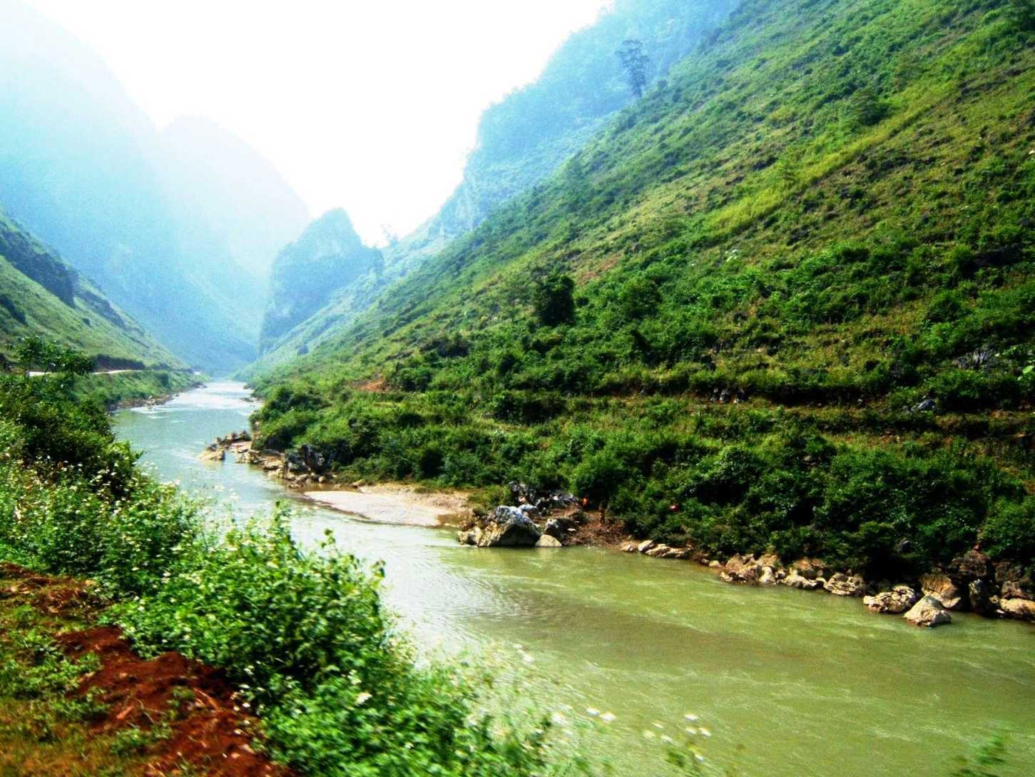
The Miện river at Cán Tỷ commune, Quản Bạ, with Highway 4C along the bank — Photo: BacLuong at Vietnamese Wikipedia, public domain, Wikimedia Commons
11:00–13:00: pine forest and lunch in Yên Minh
Before entering town, stop for a few minutes in the Yên Minh pine forest: after dozens of kilometres of rock and corn, suddenly the road is lined with tall pines, the air cool and smelling of resin. Park where the shoulder is wide, never in the middle of a bend.
Yên Minh is a good place for a proper meal before climbing higher: thắng cố stew (order a small portion to try first), black pork, smoked sausage, bamboo-tube rice, stir-fried Hmong mustard greens. It's also the moment to fill the tank and withdraw cash if you're short; higher up, ATMs are harder to find.
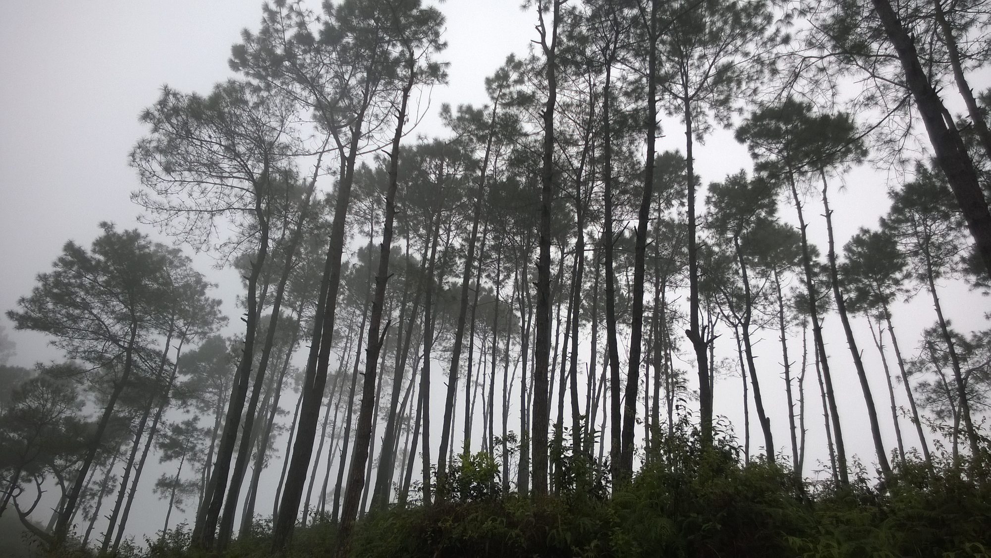
Pine trees in the mist, Yên Minh — Photo: Vuong Tri Binh, CC BY-SA 4.0, Wikimedia Commons
13:00–17:00: Yên Minh → Đồng Văn
From Yên Minh to Đồng Văn town is about 50 km on Highway 4C, roughly 1 h 30 min – 2 h of riding without stops. This is where the landscape changes most on the whole Loop: you leave the green valley and climb into the jagged limestone country of the Đồng Văn Karst Plateau UNESCO Global Geopark — the Rocky Plateau.
Stops in the order you'll meet them:
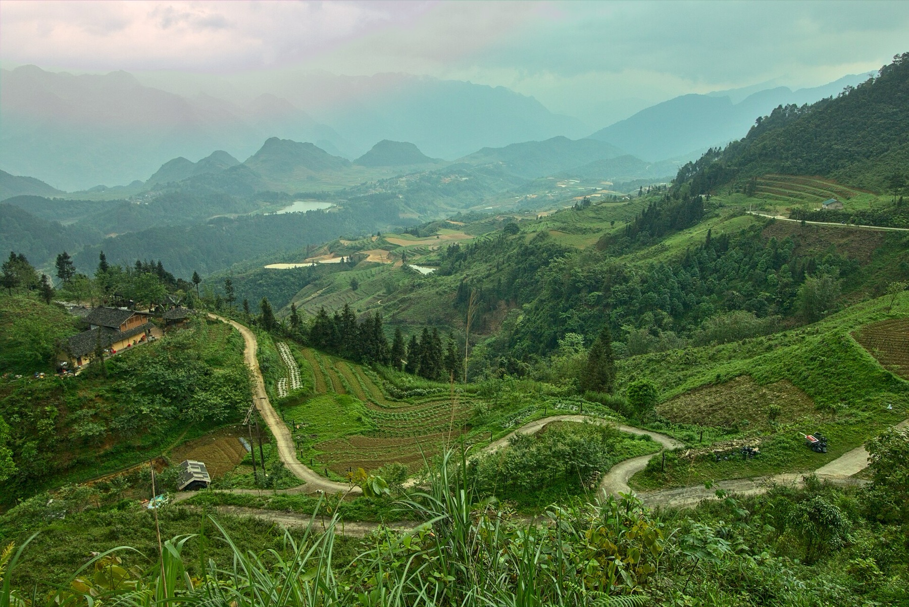
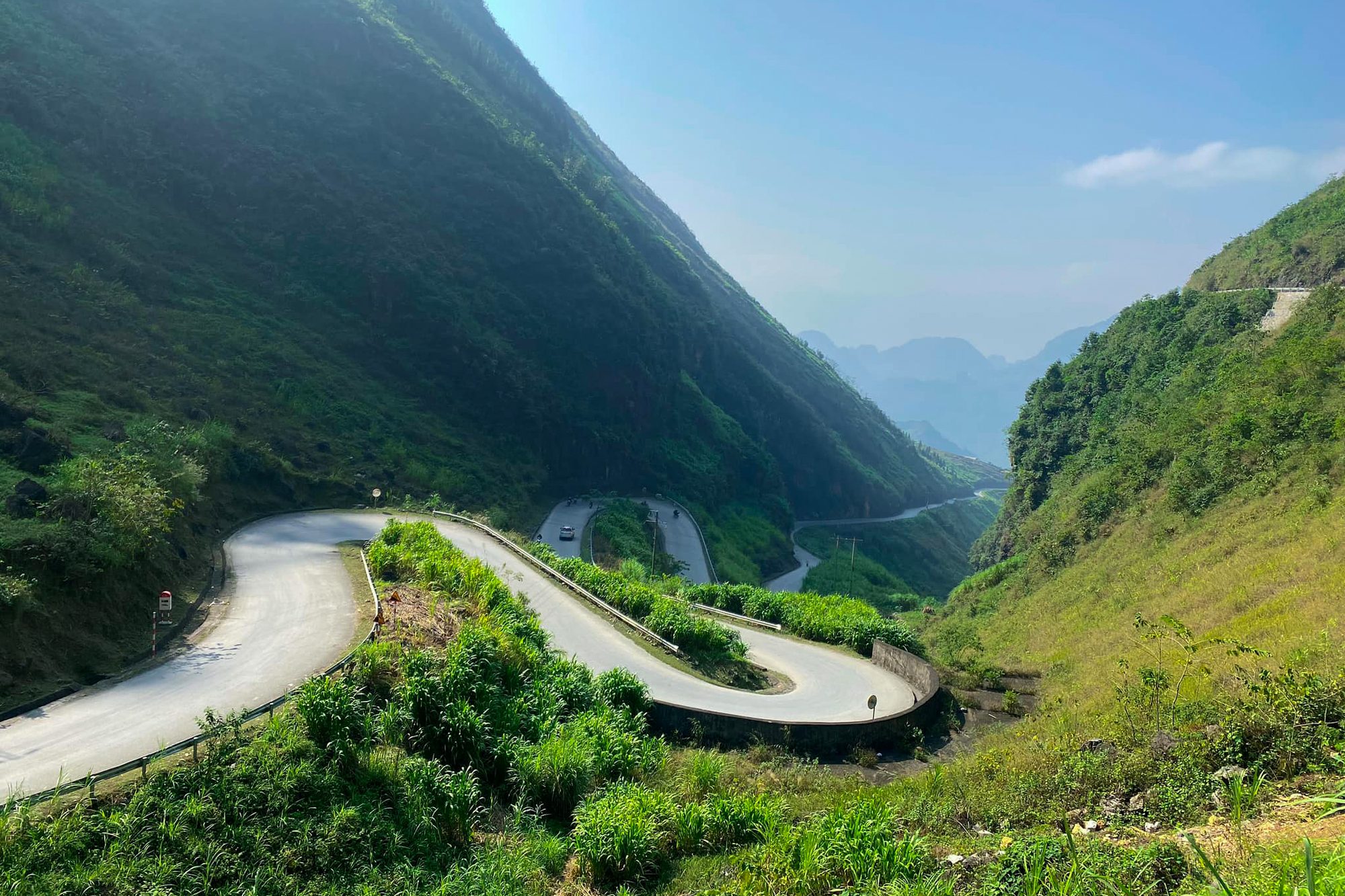
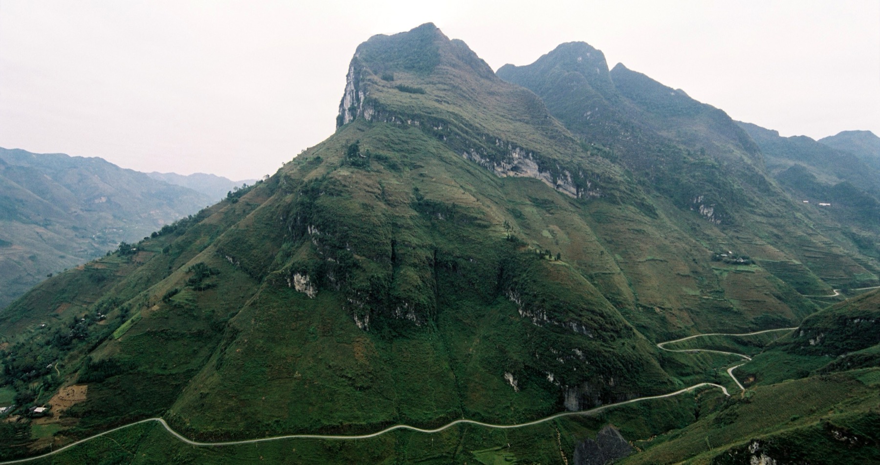
Thẩm Mã slope, near Phố Cáo: hairpin bends between two sheer mountainsides, with a stopping point at the top to look back over the road.
Chín Khoanh (Nine Bends) slope, between Phố Cáo and Sủng Là: Highway 4C folds into nine bends, best seen from the viewpoint at the top.
Sủng Là: Pao's House in Lũng Cẩm village, the rammed-earth house made famous by the film of the same name.
The Vương family mansion (Hmong King's Palace) in Sà Phìn, about 13 km before Đồng Văn centre.
On a 2-day plan, pick one: Pao's House or the Hmong King's Palace. The palace usually closes around 17:00, so if you reach Sà Phìn too late, skip it and ride straight to Đồng Văn. In November–December the sun sets around 17:15–17:30; be in town before then.
The hairpin bends of the Thẩm Mã slope — Photo: NKSTTSSHNVN, CC BY-SA 4.0, Wikimedia Commons
A night in Đồng Văn
Đồng Văn, at about Km150 of the Loop, is the best place to spend the night on this itinerary. The old quarter is about 1 km long, with some 40 old houses built between the late 19th and the first half of the 20th century: rammed-earth walls, yin-yang roof tiles, wooden eaves, red lanterns. At its heart is the old stone market built by the French in the 1920s.
In the evening the old quarter has cafés in old houses, lantern-lit façades and food stalls around the market serving cháo ấu tẩu (a medicinal root porridge), thắng cố and grilled skewers. Đồng Văn has no regular weekly night market. There are "old quarter nights" around the full moon (roughly the 14th–16th of the lunar month) with performances, khèn pipes and food stalls in the old market, but not every month; festival seasons also bring evening programmes — the 12th Buckwheat Flower Festival opened on the evening of 25 October 2026 in Đồng Văn, with activities running until the end of December. Ask your homestay what's on the night you arrive. More in Đồng Văn old quarter, old-quarter nights and the Sunday market.
Good to know:
Book your room ahead in October–November, at weekends and on holidays.
Bring warm clothes. In November–December mornings and evenings on the plateau are often 5–15 °C, and colder still in Đồng Văn.
Go to bed early. You're up at 5:30 tomorrow.
If your night is a Saturday, Sunday morning brings the Đồng Văn market, busiest around 7:00–10:00. You can ride to Mã Pí Lèng very early and come back for the market, or see the market first and do the pass afterwards — but then you'll get back to the city later, so plan carefully.
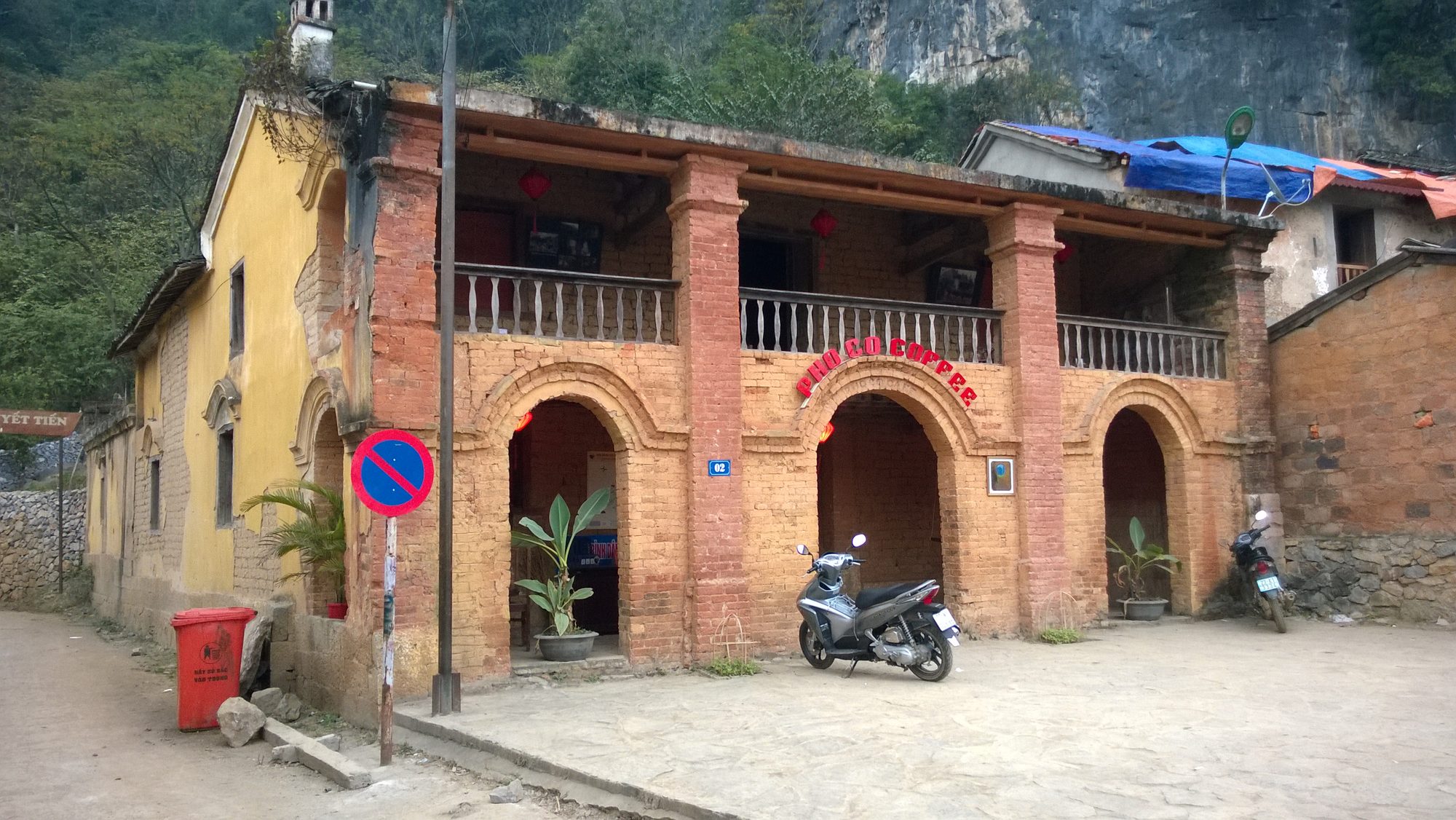
An old two-storey house in Đồng Văn old quarter, now a café — Photo: Vuong Tri Binh, CC BY-SA 4.0, Wikimedia Commons
Day 2 — Đồng Văn → Mã Pí Lèng → back to Hà Giang City
6:00–8:00: Mã Pí Lèng in the early morning
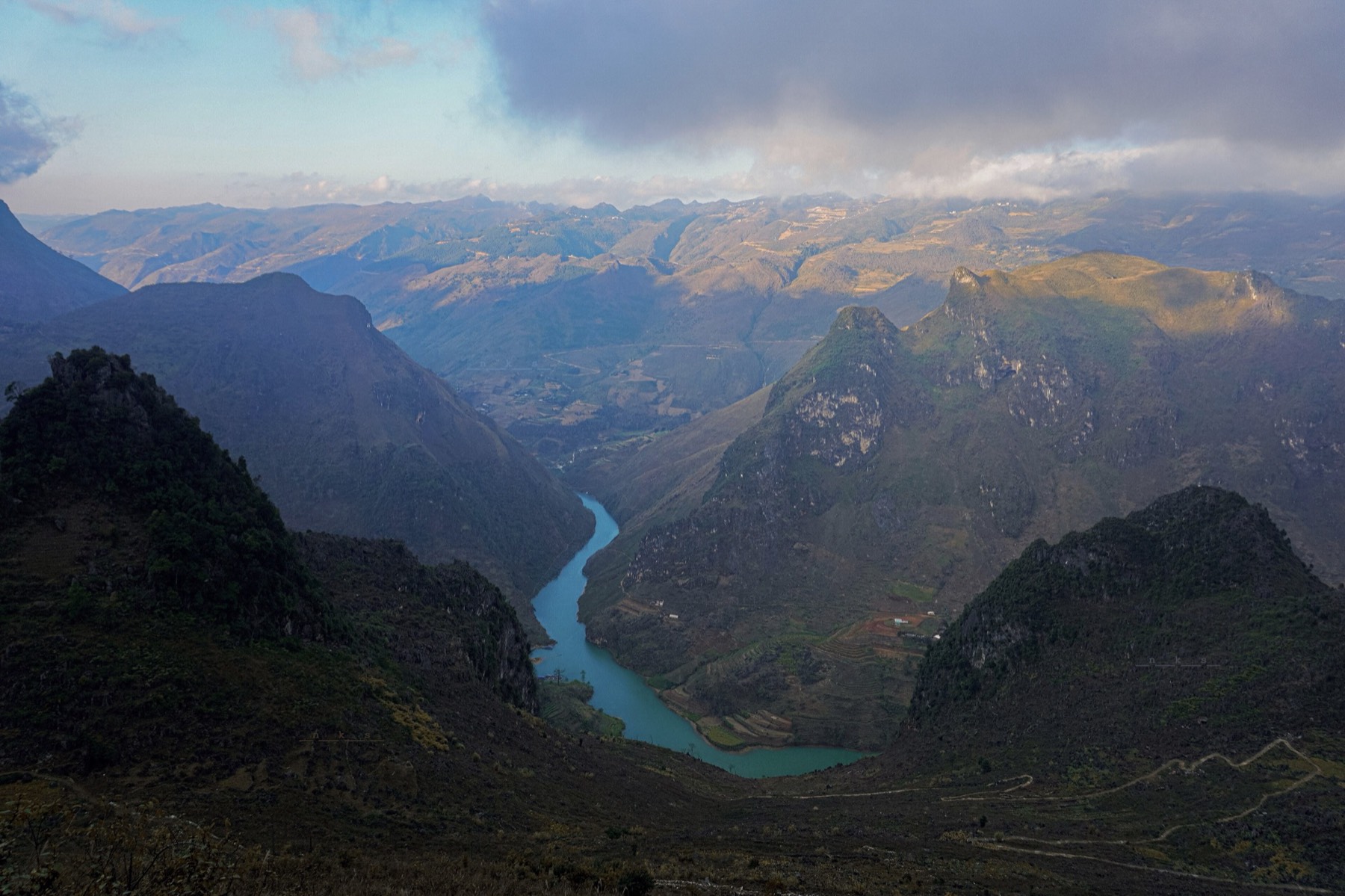
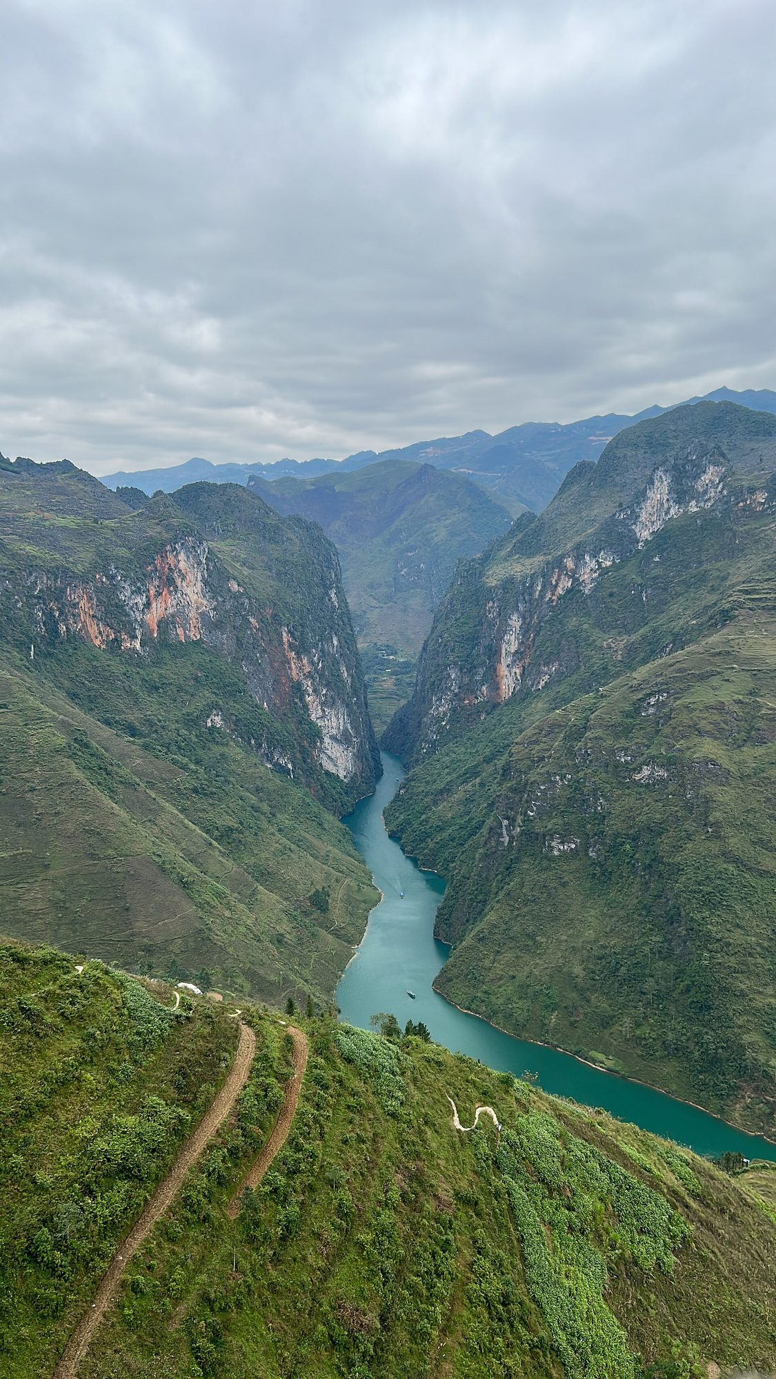
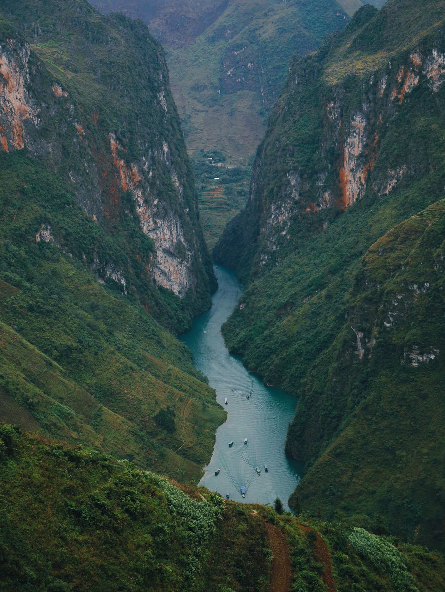
From Đồng Văn ride about 20 km to the main viewpoint at the top of the Mã Pí Lèng pass (about 1,200 m, around Km170 of the Loop). Early in the morning there's little traffic, the light slants across the cliffs, and after a cold, damp night there may be cloud lying in the valley. From the edge you look down into the Tu Sản canyon and the jade-green Nho Quế river far below.
Wrap up and wear gloves: the summit is cold and windy at dawn.
In thick fog, ride slowly with your lights on and never overtake on a bend.
The Sky Path is a free walking trail along the cliff edge, starting near the Happiness Road monument; the whole trail takes 2–3 hours and does not go down to the river. On a 2-day plan, walk only a short section and turn back — and skip it altogether in rain or fog.
See more stops on the pass on the Mã Pí Lèng page.
The Nho Quế gorge seen from Mã Pí Lèng pass — Photo: MapStaringEnthusiast, CC BY-SA 4.0, Wikimedia Commons
8:00: breakfast in Đồng Văn, or down to Mèo Vạc?
From the summit to the centre of Mèo Vạc is another 15 km, about 30 minutes. If you're going back the way you came, Mèo Vạc means crossing the pass one more time — about 30 km and over an hour extra. On a 2-day plan the simplest choice is to go back to Đồng Văn for breakfast (bánh cuốn rice rolls, cháo ấu tẩu), check out, and hit the road around 9:00.
9:00–17:00: the ride back
You have three ways back to Hà Giang City:
Way back
Route
Distance (approx.)
Best for
Back the way you came, on the new road
Đồng Văn → Yên Minh → new Cán Tỷ road → Quản Bạ → Hà Giang City
125 km from Đồng Văn
Most travellers: familiar road, easy to time, past the flying site again
Via Mèo Vạc and Mậu Duệ
Mã Pí Lèng → Mèo Vạc → Mậu Duệ → Yên Minh → Quản Bạ → Hà Giang City
125 km from Mèo Vạc
Those who want the whole pass and new scenery, leaving Mèo Vạc early
Via Du Già
Mèo Vạc → Mậu Duệ → Du Già → Hà Giang City
150–170 km, narrow and slow
Not recommended on a 2-day plan
The first option is the safest and easiest to time: Đồng Văn → Yên Minh about 50 km (lunch around 11:00–12:00), Yên Minh → Quản Bạ about 31.4 km on the new road, Quản Bạ → the city about 45 km. You reach Quản Bạ in the early afternoon and the city before dark.
The second option rides the whole Mã Pí Lèng pass down to Mèo Vạc, then a mountain road of about 35 km to Mậu Duệ and a branch road of about 14 km back to Yên Minh. These roads are smaller than Highway 4C and slower; choose this only if you leave Mèo Vạc before 9:00.
The Du Già stretch is beautiful, but Mèo Vạc → Du Già alone takes about 3–4 hours of riding, then about 3 more hours to the city. Squeezing that into day two of a 2-day plan is too much; save it for a 3- or 4-day trip.
Don't ride mountain passes after dark. If you're running late, stay in Yên Minh or Quản Bạ (see spending the night in Quản Bạ) rather than pushing on. If you're taking a night bus back to Hà Nội, book a late departure to give yourself a buffer.
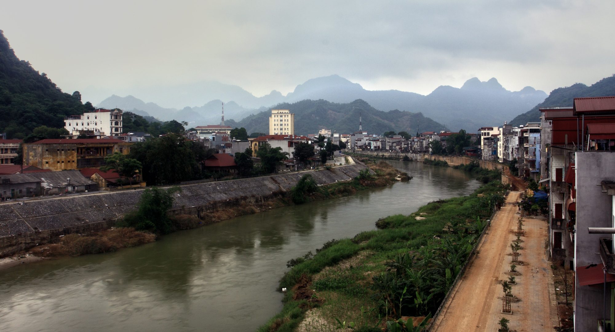
The Lô river running through Hà Giang City, where the Loop ends — Photo: Idan Robbins, CC BY-SA 4.0, Wikimedia Commons
What if you can't fly on day one?
Mountain winds change quickly. The team checks the forecast and confirms the flight time on the morning of the flight; if the weather doesn't allow it, you reschedule for free. On a 2-day plan your options are:
Fly on the way back (afternoon of day 2). On the new road you reach Quản Bạ in the early afternoon; if the wind allows, take a standard paragliding or paramotor flight, then ride the 45 km to the city before dark. Let the team know on the morning of day 2 so they can hold a slot.
Fly at sunset and stay in Quản Bạ. A sunset paragliding or sunset paramotor flight ends at dusk, so don't ride on to the city in the dark. Only choose this if you can stay an extra night.
Advanced paramotor (cloud chasing, sunrise, sunset, long flight)
22–25 min
3,390,000 VND (≈ US$ 135)
Included: GoPro video (ask your pilot), insurance, drinking water, and pick-up/drop-off within the Quản Bạ area (for example Nậm Đăm village, Cán Tỷ, H'Mong Village).
Drone or 360° camera: +400,000 VND/guest (≈ US$ 16) per service; both for the same guest cost 700,000 VND.
Groups of 3 get 50,000 VND off per guest; 4 or more get 70,000 VND off per guest.
Not riding a motorbike? The team can arrange a car from Hà Giang City: 500,000 VND per 4-seat car per direction.
No deposit, nothing to pay when you book; you pay at check-in on the flying day, before your flight, by cash, bank transfer, card or PayPal (card and PayPal +3%). If conditions don't allow a special flight (sunset, cloud chasing, sunrise), it becomes a standard flight.
On a 2-day Loop, should you fly in Đồng Văn instead of Quản Bạ?
Đồng Văn also offers tandem paragliding, flying over the old quarter and the Rocky Plateau and landing in town, but paragliding only, no paramotor, and there are no fixed daily slots: flights are scheduled in advance for each group, depending on the wind. On a 2-day plan that is already tight, Quản Bạ is the easier choice:
It's right on the first stage, about 45 km from the city, so easy to time.
It flies every day, with both paragliding and paramotor; if the ridge wind isn't right yet, there's still the powered option.
If you can't fly on the morning of day 1, you pass through Quản Bạ again on the afternoon of day 2.
If you still want to fly in Đồng Văn on the morning of day 2, call the hotline before your trip so the team can check the wind and schedule you. Compare the two sites in paragliding in Quản Bạ or Đồng Văn.
One more day: two ways to do 3 days, 2 nights
One extra day makes the trip far more relaxed. Two plans we often suggest:
Plan 1 — add Lũng Cú, the whole of Mã Pí Lèng and the Nho Quế river.
Day 1: as above, overnight in Đồng Văn.
Day 2: in the morning ride up to Lũng Cú flag tower (about 24–25 km each way from Đồng Văn), back for lunch, then the Mã Pí Lèng pass in the afternoon with a short section of the Sky Path or a boat trip on the Nho Quế river through the Tu Sản canyon (ticket about 150,000 VND per adult; allow about 2–3 hours for the whole trip and reach the ticket booth before about 16:00). Overnight in Mèo Vạc.
Day 3: if it's a Sunday, catch the early Mèo Vạc market; then ride back via Mậu Duệ – Yên Minh – the new Cán Tỷ road – Quản Bạ – the city (about 125 km).
Plan 2 — sleep in Quản Bạ the first night and fly at dawn.
Day 0 (afternoon): ride the 45 km from the city to Quản Bạ and sleep in Tam Sơn, Nậm Đăm or Cán Tỷ.
Day 1: fly early — you can book an advanced sunrise or cloud-chasing paramotor flight (seas of clouds are most likely early in the morning after a cool, damp night) — then take the new road to Yên Minh and on to Đồng Văn.
Day 2: Mã Pí Lèng at dawn, then back as in the 2-day plan.
Tu Sản canyon with boats on the Nho Quế river, seen from Mã Pí Lèng — Photo: NKSTTSSHNVN, CC BY-SA 4.0, Wikimedia Commons
Tips for a 2-day Loop without burning out
Pack light: a small backpack, a windbreaker, a warm layer, gloves, a thin raincoat. Leave big luggage in Hà Giang City.
Have a light breakfast before flying — don't skip it, but don't overeat either. A checklist of what to bring for your flight is on before you fly.
Fill up in Quản Bạ, Yên Minh and Đồng Văn; the climbs to the plateau use more fuel than you'd think.
Carry cash for food stalls, entrance tickets and parking.
Rest 10–15 minutes every hour. Tired arms and back are when concentration slips.
Ask before photographing people, especially children, and don't walk into fields without permission.
Pick your season: October–December is the dry season with clearer skies; buckwheat flowers from about October to early December, at its best around late October–November. The rice harvest is over by mid-October, so don't expect golden terraces. Late December–January can bring frost on the high plateau.
Frequently asked questions
Can you visit Lũng Cú on a 2-day Hà Giang Loop?
It's possible, but very rushed. Lũng Cú is about 24–25 km each way from Đồng Văn and needs about half a day. If you want to go, drop Mèo Vạc and the Sky Path on day 2 and return the way you came — or, better, make it a 3-day trip.
Paragliding or paramotor when short on time?
Both take about 1.5–2 hours for the whole session. The paramotor takes off from a flat field, so it depends slightly less on the ridge wind direction; paragliding is smoother and quieter. If you can't decide, book one and talk it over with the team on the morning.
What time should I be at the flying site?
The team operates from 06:30 to 18:30. Arrive about 30 minutes before your flight. On a 2-day Loop, choose the earliest slot so you can make the ride up to Đồng Văn in the afternoon.
Is the new Cán Tỷ – Yên Minh road difficult?
No. It's newly built with a very good surface, about 31.4 km from Quản Bạ centre, almost 20 km shorter than Highway 4C. It's still a mountain road, so keep your speed down on blind bends and fill up in Quản Bạ before you set off.
I can't ride a motorbike — how do I do the Loop in 2 days?
Go with an easy rider (you sit on the back, a local rider who knows the road drives) or hire a car with a driver. Both motorbikes and cars can reach the landing field; the road up to the paragliding take-off only takes vehicles up to 16 seats.
Cover photo: NKSTTSSHNVN, CC BY-SA 4.0, Wikimedia Commons
Book a flight:book online — no deposit, free cancellation
Christmas and New Year (24/12/2026 – 1/1/2027) is peak time on the Hà Giang Loop. Welcome the year in the air at Quản Bạ with cloud-chasing or sunrise paramotor and sunset paragliding, plus 3- and 4-day plans, group booking, gift ideas, warm clothing and winter road safety tips…
Visit the Lùng Tám linen weaving cooperative in the Quản Bạ valley: watch Hmong women spin linen, weave cloth, draw patterns in beeswax and dye with indigo, then try it yourself — an easy pairing with a paragliding flight…
A day-by-day 4-day, 3-night Hà Giang Loop itinerary: paragliding in Quản Bạ, the new Cán Tỷ – Yên Minh road, the Hmong King's Palace, Lũng Cú, Đồng Văn old quarter, Mã Pí Lèng, a Nho Quế river boat, Mèo Vạc and Du Già, plus Sunday markets and a 3-day version…
Easy rider or riding a motorbike yourself on the Hà Giang Loop: the tricky passes (Thẩm Mã, Mã Pí Lèng, the road down to Tràng Hương bridge), the new Cán Tỷ – Yên Minh road, fuel, cash, weather and how to stop for paragliding in Quản Bạ…
Bắc Sum Pass or Quản Bạ? A side-by-side look at the two flying sites on the QL4C near Hà Giang city: distance, landing field, valley width, paragliding and paramotor, a flying morning at Quản Bạ, getting there and fitting the flight into the Hà Giang Loop…
Quản Bạ or Đồng Văn? An honest comparison of our two flying sites on the Hà Giang Loop: location, getting there, scenery, paragliding vs paramotor, what a flying session looks like, wind and schedule, price, and how to fly both…