

Stop 7/7
Du Già, around Km265 of the Loop, is a peaceful valley of rice fields, villages and the Du Già waterfall. From here you ride straight back to Hà Giang City, or take the side road via Lùng Tám (about 47.7 km) to Quản Bạ and fly before closing the Loop.
Du Già, around Km265 of the Hà Giang Loop, is a quiet countryside valley for one night's rest, a swim at the waterfall and a walk around the village; from here you either ride straight back to Hà Giang City or take the Du Già – Lùng Tám – Quản Bạ side road (about 47.7 km) and finish the Loop with a paragliding flight.
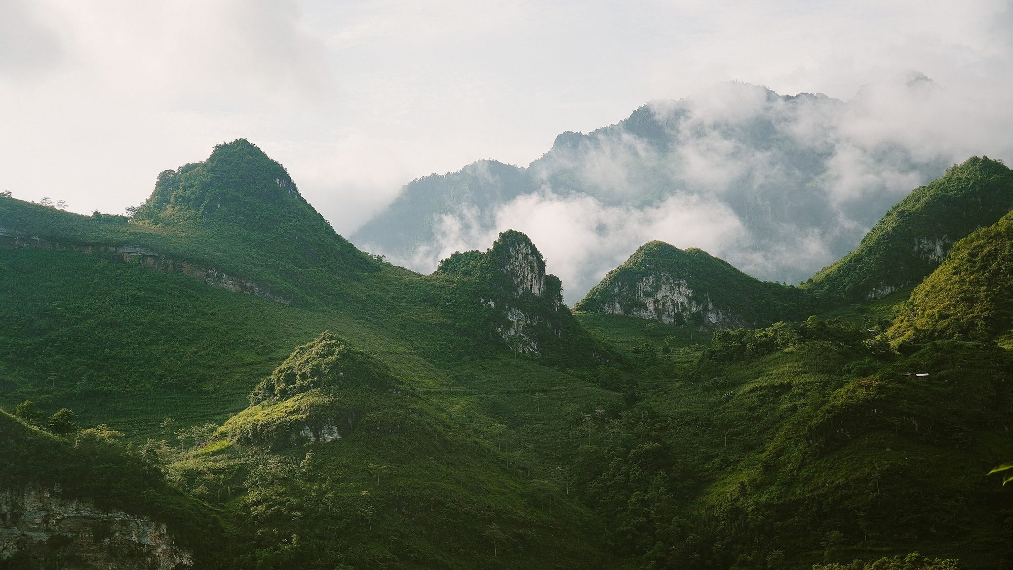
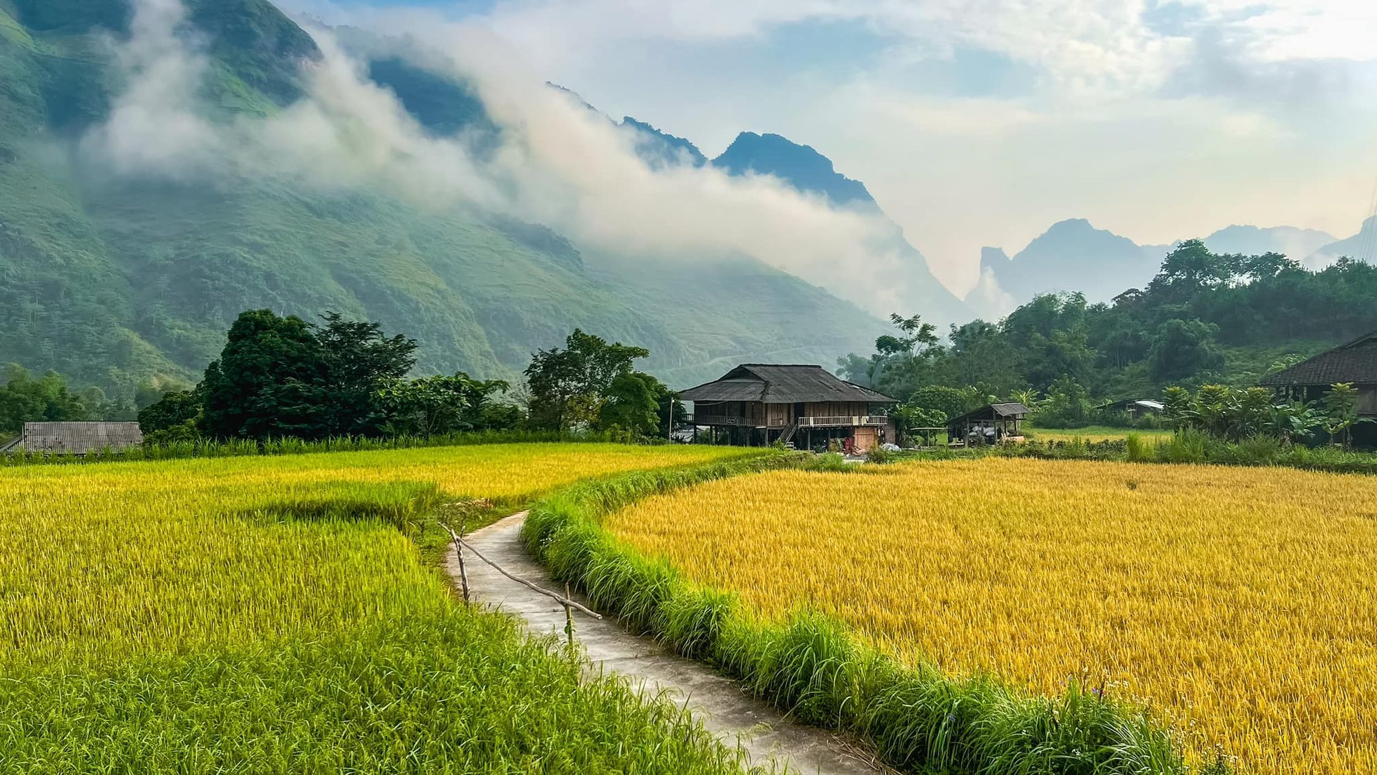
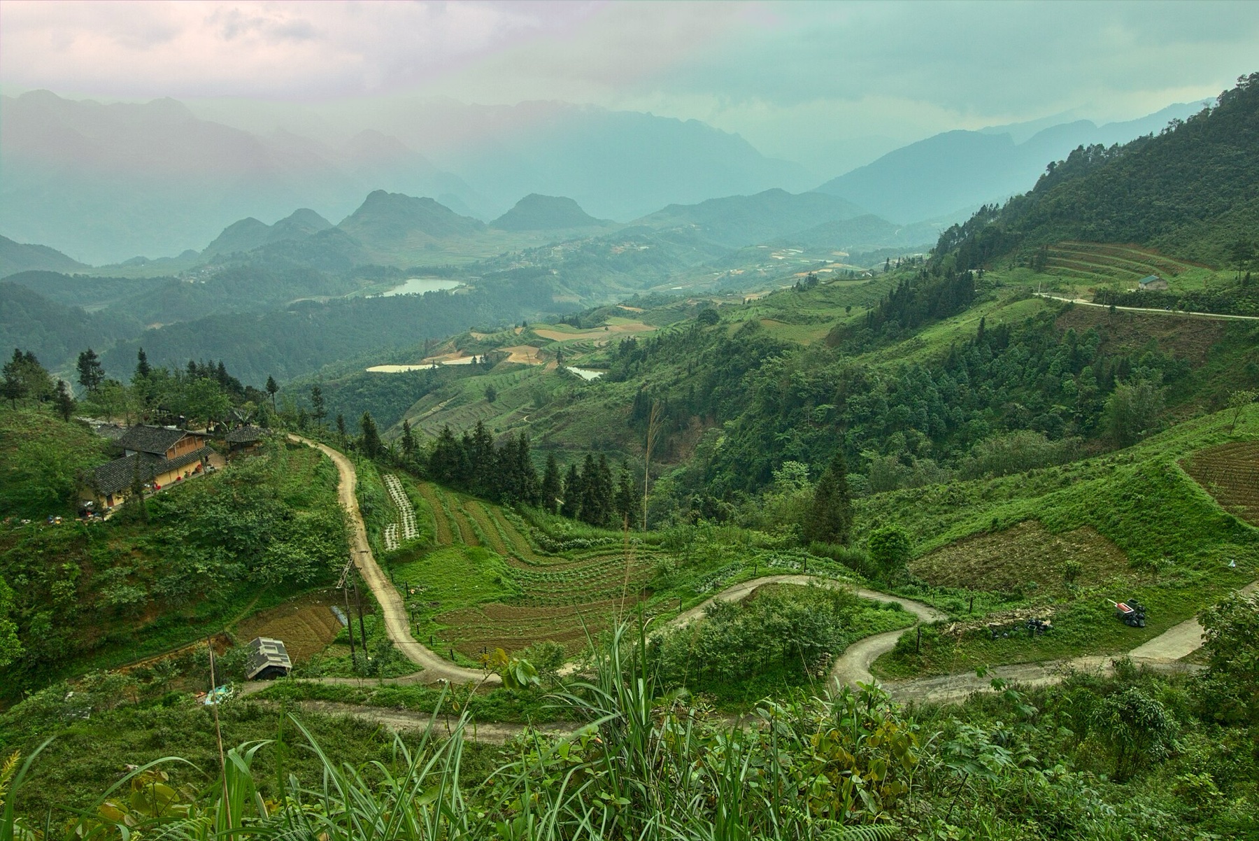
After several days of grey stone and high passes, the road gradually drops, the air gets warmer, and the green of rice fields and forest comes back. Du Già is a valley of stilt-house villages, rice paddies and a cool, clear waterfall. There is no crowded "famous photo spot" here, and that is exactly why so many Loop riders remember Du Già best.
Du Già used to belong to Yên Minh district; since 1 July 2025 Hà Giang province has been merged into Tuyên Quang province, but travellers and tourist signs still call the route the "Hà Giang Loop".
Where Du Già sits on the Loop
Most riders go clockwise: Hà Giang City → Quản Bạ → Yên Minh → Đồng Văn → Mã Pí Lèng → Mèo Vạc → Du Già → back to Hà Giang City. Du Già is the last overnight stop, on the southern side of the Loop, between the limestone country to the north and the city.
The distances below are measured on our Loop map and are only a guide; real riding time depends on the weather, road conditions and how often you stop for photos.
| Stretch | Distance | Notes |
|---|---|---|
| Mèo Vạc → Mậu Duệ | about 35 km | mountain road, slowly losing altitude |
| Mậu Duệ → Du Già | about 44 km | the narrowest, roughest part of the Loop |
| Yên Minh → Mậu Duệ (side road) | about 14 km | for riders who skip Mèo Vạc |
| Du Già → Hà Giang City | about 70–90 km, roughly 3 hours | depends on the route you take |
| Du Già → Lùng Tám → Quản Bạ (side road) | about 47.7 km | back via the Quản Bạ flying site |
| Quản Bạ → Hà Giang City | about 45 km, roughly 1 h 15 min | Highway 4C over Quản Bạ Heaven's Gate |
The standard Loop is about 350 km in total. On a 4-day, 3-night trip Du Già is usually the third night; see our 4-day, 3-night Hà Giang Loop itinerary for the full plan.
The road from Mèo Vạc to Du Già
From Mèo Vạc to Du Già is about 80 km, roughly 3–4 hours of riding depending on road conditions and how often you stop.
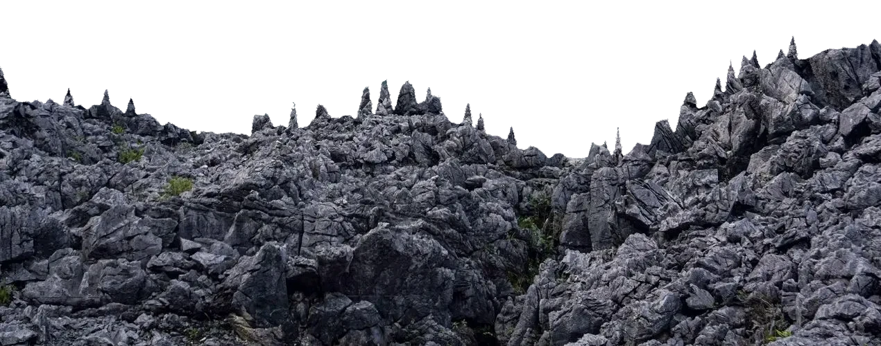
- The route: from Mèo Vạc the road passes through the Mậu Duệ area, then turns into the Du Già valley. The scenery slowly changes from bare limestone to green hills, terraced fields and villages.
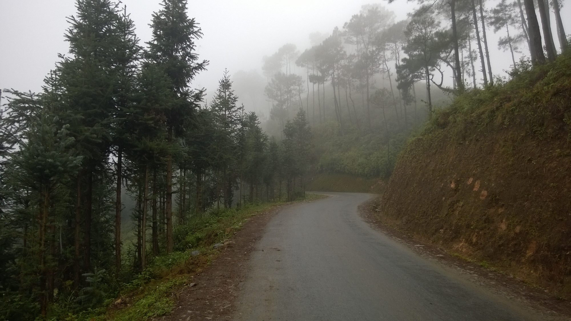
- Road conditions: for many people this is the narrowest and toughest part of the Loop: some sections are being upgraded, others are gravel, potholed, or covered in loose earth and stones after rain. The road changes from year to year, so ask your homestay or easy rider for the latest situation.
- Riding yourself: only if you are comfortable after the earlier stages. Go slowly, keep your distance, and take care on slippery mud and gravelly slopes.
- Easy rider: well worth it for this stage, especially in the rainy season. Still undecided? Read easy rider or ride yourself.
- By car: possible but slow; use a high-clearance vehicle and a driver used to mountain roads.
- Safety: don't ride this stretch after dark or in heavy rain; if the fog is thick, pull over somewhere safe and wait.
If you skip Mèo Vạc (on a 3-day Loop, for example), you can ride from Yên Minh along a side road of about 14 km to Mậu Duệ, then down to Du Già.
Riding safely on the last stage
- Start early: leave Mèo Vạc in the morning so you still have daylight on the rough section. Darkness falls fast in the mountains, especially in November–December when the sun sets around 17:15–17:30.
- Check the bike before you go: brakes, tyres, lights and horn. If something sounds wrong, get it fixed in Mèo Vạc rather than taking a small problem onto a narrow road.
- Use your horn on blind bends: the road is narrow and trucks and buses still use it; always keep to your side.
- Take regular breaks: after three days on the bike your arms and back will be tired. Stop for 10–15 minutes every hour, drink water and have a snack.
- Dress in layers and pack rain gear: mornings up high are cold, the valley floor is warmer; wear layers you can peel off as you go.
What to see in Du Già
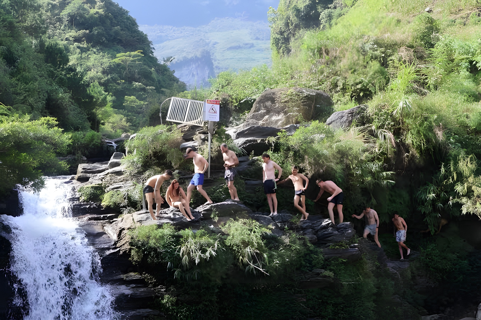
- Du Già waterfall: a waterfall in the forest, about 2 km from the centre of Du Già. The water spills over several rock ledges into small pools. In summer it's a perfect place to cool off; watch out for slippery rocks and don't swim when the water is high.
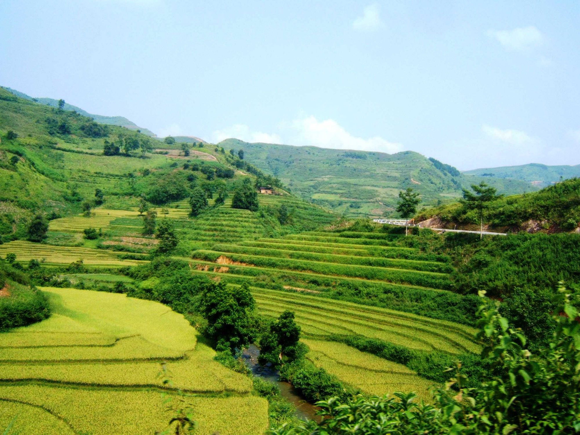
- Du Già rice fields: a valley that is lush green when the rice is young and golden when it ripens — the most complete countryside scene of the whole Loop.
- Stilt-house villages: wooden houses and stilt houses among gardens, buffalo grazing in the fields; walking or cycling around the village is the best way to feel the slow pace of life.
- The pass road into Du Già: bends along the mountainside looking down into the valley, best in the afternoon.
- Terraced fields along the road: beautiful both when the paddies are flooded and when the rice is ripe.
- Streams and little bridges in the village: a peaceful spot to sit and watch the children play after school.
Swimming at the waterfall safely
- Stay out of the water after heavy rain: the waterfall rises fast and turns murky, and submerged rocks are hard to see.
- Wear strapped sandals with good grip: the moss on the rocks is very slippery; don't jump into the pools from high rocks.
- The water is cold in October–December: you can still paddle or take a quick dip in the midday sun, but bring a towel and dry clothes.
- Don't go alone, and tell your homestay when you're leaving and when you expect to be back.
- Keep the waterfall clean: carry a bag for your rubbish and take it out of the forest; don't use soap or shampoo in the water.
Village etiquette
- Ask before photographing people, especially the elderly and children; if they shake their head, smile and put the camera away.
- Don't walk into houses or gardens uninvited, or across fields where rice is growing.
- Dress modestly in the village; swimwear is for the waterfall only.
- Keep the noise down after about 22:00: Du Già is a village, not a party town.
- If you want to buy souvenirs, buy directly from the people who made them.
What to eat, where to sleep
Meals in Du Già are usually home-cooked at your homestay: free-range hill chicken, stream fish, cơm lam (rice cooked in bamboo), five-colour sticky rice, wild greens, bamboo shoots, smoked pork, smoked sausage, and corn wine or leaf-yeast rice wine. In the evening many homestays serve a shared dinner around the fire, which is great fun if you're travelling in a group. Corn wine is strong; if you're riding or flying the next morning, go easy.
Accommodation is mostly homestays in the village, from traditional stilt houses to small rooms looking out over the fields. At weekends and in peak season, book ahead if you want a private room. Du Già is quiet with few shops, so check in before dark and let your homestay know in advance if you want dinner.
Best time to visit & handy tips
- May–June: the paddies are flooded and the terraces shimmer.
- June–August: the waterfall is full and great for swimming, but it rains a lot — roads can be slippery and landslides happen.
- September to early October: the rice ripens gold across the valley; by mid-October most fields have been harvested.
- October–December: dry weather, easier roads, and early-morning mist in the valley. This is also the season of clear skies, ideal for a flight in Quản Bạ on the way back.
Handy tips:
- Cash is essential: there is practically no ATM in Du Già.
- Fuel: fill up in Mèo Vạc or the towns along the way; the village only has a few small roadside fuel sellers.
- Phone signal can be weak in places; download offline maps beforehand.
- Bring good sandals if you plan to go down to the waterfall, and a bag to carry your rubbish out of the forest.
- Allow extra time for this road; don't plan tight connections.
The way back to Hà Giang City
From Du Già to Hà Giang City is about 70–90 km depending on the route, roughly 3 hours, closing a Loop of about 350 km in total. The road back runs through valleys and gradually lower passes; it's easier than the road into Du Già, but still needs your full attention because you'll be tired after several days on the bike.
- If you have a night bus to Hà Nội, leave Du Già before noon so you have time to return the bike, shower and eat in the city.
- Fill up before leaving Du Già if your tank is getting low.
- Traffic gets much heavier near the city; slow down, especially at dusk.
For the city, where to return the bike and where to eat in the evening, see the Hà Giang City stage.
The Du Già – Lùng Tám – Quản Bạ side road: come back via Quản Bạ and fly at the end of the Loop
On the first day of the Loop most people ride through Quản Bạ in a hurry: they've only just left the city, they're still getting used to the bike, and they need to reach Yên Minh or Đồng Văn before dark. Sometimes the sky that day is too cloudy or the wind too strong to fly. The side road from Du Già gives you a second chance.
From Du Già, a mountain road cuts across the middle of the Loop, passes the village of Lùng Tám and comes out in the Miện river valley at Quản Bạ, about 47.7 km in all. From Quản Bạ it's another 45 km to Hà Giang City on Highway 4C. The total distance isn't much different from riding straight back to the city, but you get to close the Loop with a flight over the very valley you rode through on day one.
Before you choose this road:
- It's a small mountain road, not a highway: lots of bends, some narrow sections. Don't estimate your time from highway speeds.
- Ask about road conditions first: the surface changes with the rainy season and with road works; ask your homestay in Du Già or your easy rider the evening before.
- Leave early: set off from Du Già in the morning so you reach Quản Bạ before noon or early in the afternoon, with time to rest and eat lunch before flying.
- Don't ride after dark or in heavy rain, as on every other mountain stretch of the Loop.
- Fill up in Du Già; there are few petrol stations along the way.
A stop in Lùng Tám
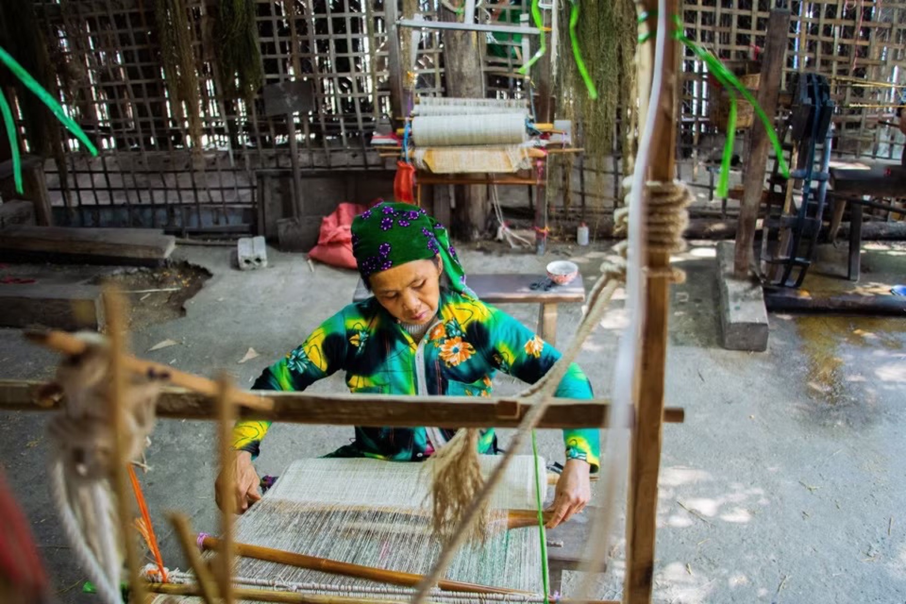
Lùng Tám is a Hmong village with a linen-weaving and beeswax-batik cooperative, right next to our landing field by the Miện river. You can watch every step from flax fibre to indigo-dyed cloth, and pick up a scarf or a cloth bag as a souvenir before your flight. Details in our article on the Lùng Tám linen village.
Flying in Quản Bạ
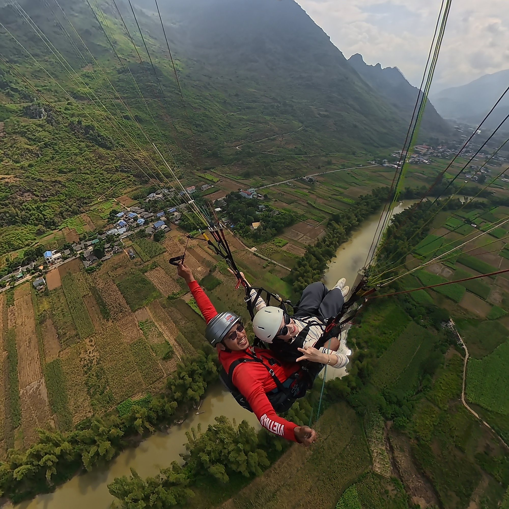
The Quản Bạ flying site is open daily 06:30–18:30. Paragliders launch from a hillside at about 950 m and land in the valley at about 450 m; paramotors take off right from the flat field beside the Miện river. From the air you'll see the Cô Tiên Fairy Twin Mountains, Quản Bạ Heaven's Gate, the jagged tai mèo ("cat-ear") limestone, the corn fields and the winding Miện river.
| Flight | Flight time | Price per guest |
|---|---|---|
| Standard paragliding | 9–15 min (wind dependent) | 2,290,000 VND (≈ US$ 91) |
| Sunset paragliding | 9–15 min | 2,990,000 VND (≈ US$ 119) |
| Standard paramotor | 15 min | 2,490,000 VND (≈ US$ 99) |
| Advanced paramotor (cloud chasing, sunrise, sunset, long flight) | 22–25 min | 3,390,000 VND (≈ US$ 135) |
Prices include a GoPro video (ask your pilot), insurance and drinking water. Drone footage and a 360° camera are optional extras at 400,000 VND (≈ US$ 16) per guest each. No experience needed; children from 3 years old can fly; guests over 90 kg, or with heart conditions, pregnancy, recent surgery or epilepsy, please tell the team in advance. Cloud chasing and sunrise flights are paramotor only. If conditions don't allow a special flight, it becomes a standard paragliding or paramotor flight.
Planning the last day: Du Già → Quản Bạ → Hà Giang City
Option 1 — fly in the afternoon, reach the city the same day. Leave Du Già in the morning, reach Lùng Tám around midday, have lunch and a rest, take a standard paragliding or paramotor flight in the early afternoon, then ride about 45 km (roughly 1 h 15 min) to Hà Giang City before dark.
Option 2 — fly at sunset, sleep in Quản Bạ. A sunset paragliding or sunset paramotor flight ends at dusk, so don't ride on to the city in the dark. Spend the night in Quản Bạ (Nậm Đăm village, Cán Tỷ or H'Mong Village are inside the team's free pick-up and drop-off area) and ride down to the city the next morning. Where to stay: spending the night in Quản Bạ.
Option 3 — fly early in the morning. If you stay in Quản Bạ, you can book an advanced paramotor flight at sunrise or to chase the clouds. A sea of clouds is most likely early in the morning after a cold, humid night; the team will tell you in the morning whether it's flyable.
How to book: online on the booking page, no deposit and nothing to pay in advance. You pay at check-in on the day, before your flight (cash, bank transfer, card +3%, PayPal +3%). Please arrive about 30 minutes before your flight time. Motorbikes and easy riders can ride straight to both the take-off and the landing field; see also our directions to the Quản Bạ flying site.
The team only flies when wind and visibility are safe; they check the forecast and confirm the flight time on the morning of the flight. If the weather is bad, you can reschedule free of charge. Keep an eye on the flying weather page beforehand.
From Quản Bạ to Hà Giang City
The final stretch is about 45 km on Highway 4C, a wider road and much easier than the side road. You pass Quản Bạ Heaven's Gate, where you can look back one last time at the valley and the Fairy Twin Mountains, then gradually descend to the city. If you're not on a motorbike, the team can arrange a car from Quản Bạ to the city for 500,000 VND (≈ US$ 20) per 4-seat car, one way.
Frequently asked questions
How many nights should I spend in Du Già?
One night is enough for most people on a 4-day, 3-night Loop. If you like walking and swimming at the waterfall and want a proper rest after all the passes, two nights are much more relaxing.
Is the road into Du Già dangerous?
The Mậu Duệ – Du Già stretch is narrow with some rough sections, but it's manageable if you ride slowly, travel in daylight and avoid heavy rain. If you're not yet confident on the bike, ride this stage with an easy rider.
How long does it take to get from Du Già to Quản Bạ to fly?
The side road via Lùng Tám is about 47.7 km of small mountain road, so it's slower than the highway. Set off in the morning and ask your homestay about the road conditions before you go.
Can I go paragliding in Du Già itself?
No. We fly in Quản Bạ (paragliding and paramotor, every day) and in Đồng Văn (paragliding only, scheduled per group). From Du Già, the easiest way to fly is to take the side road back to Quản Bạ.
What if I reach Quản Bạ and the weather isn't flyable?
The team confirms the flight time each morning according to the wind and visibility. If it isn't flyable, you can move to another day for free; if you have to leave anyway, you lose nothing because booking needs no deposit.
Book a flight: book online — no deposit, free rescheduling in bad weather
Hotline / Zalo / WhatsApp: +84 964 073 555
Read more: Quản Bạ flying site · Sunset paragliding · Quản Bạ Heaven's Gate and the Fairy Twin Mountains · Hà Giang Loop stage by stage
Next stop (finish line): Hà Giang City · Or ride back via: Quản Bạ · Previous stop: Mèo Vạc