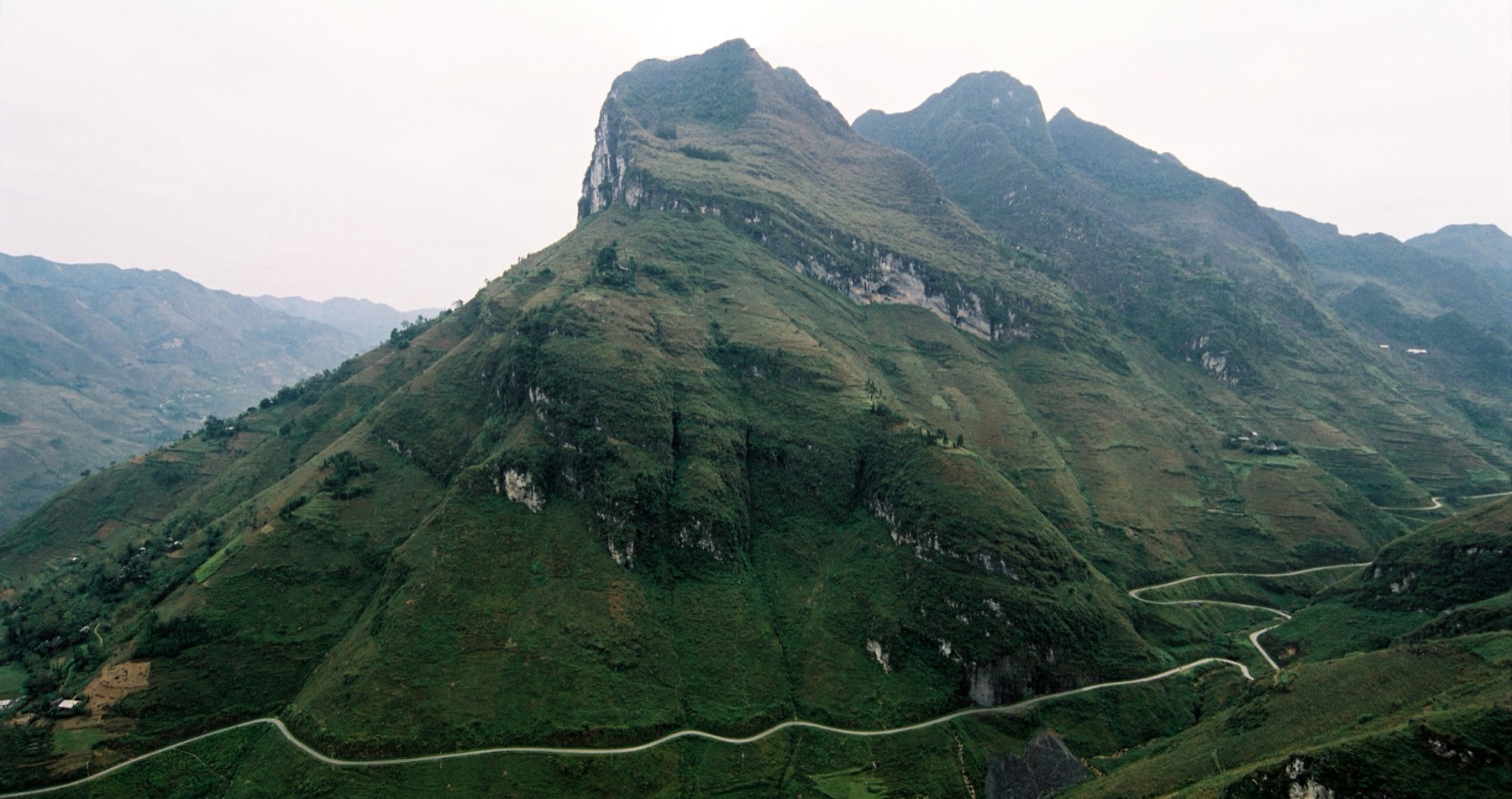
Ha Giang Loop
The Ha Giang Loop
From Km0 in Hà Giang city through Quản Bạ, Yên Minh, Đồng Văn (with the Lũng Cú detour), Mã Pí Lèng, Mèo Vạc and Du Già, then back. Pick a stop for the route, photo spots, food and places to stay.
About 350 km · 3–4 days by motorbike
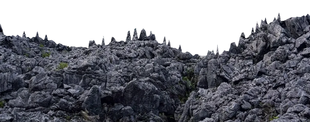
Pick a stop on the loop for the route and photo spots
- Km0
Stop 1/7
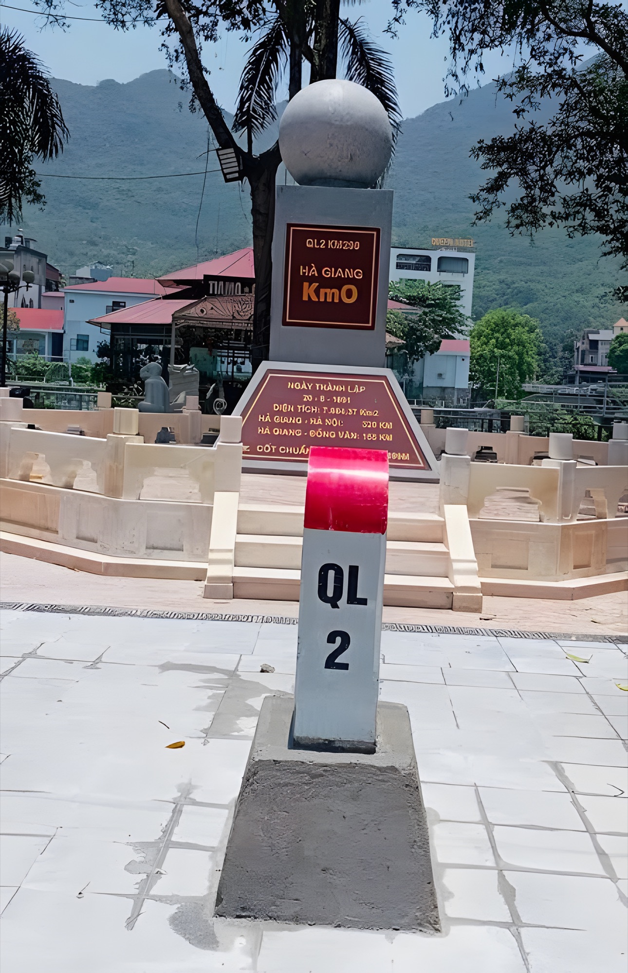
Hà Giang City
Where every Ha Giang Loop journey begins — on the Lô River, at the foot of the mountains.
Route & photo spots - Km45Paragliding here
Stop 2/7
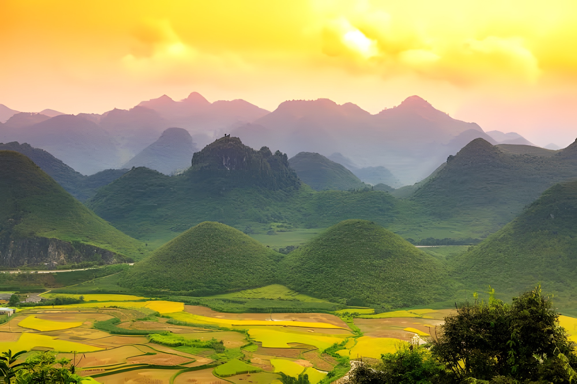
Quản Bạ
Heaven's Gate opens onto the Rocky Plateau — and the Tam Sơn valley seen from a paraglider.
Route & photo spots - Km100
Stop 3/7
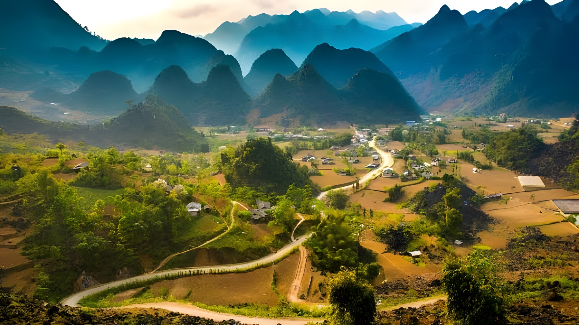
Yên Minh
Green pine forests amid grey stone — the rest stop before the climb to the plateau.
Route & photo spots - Km150Paragliding here
Stop 4/7
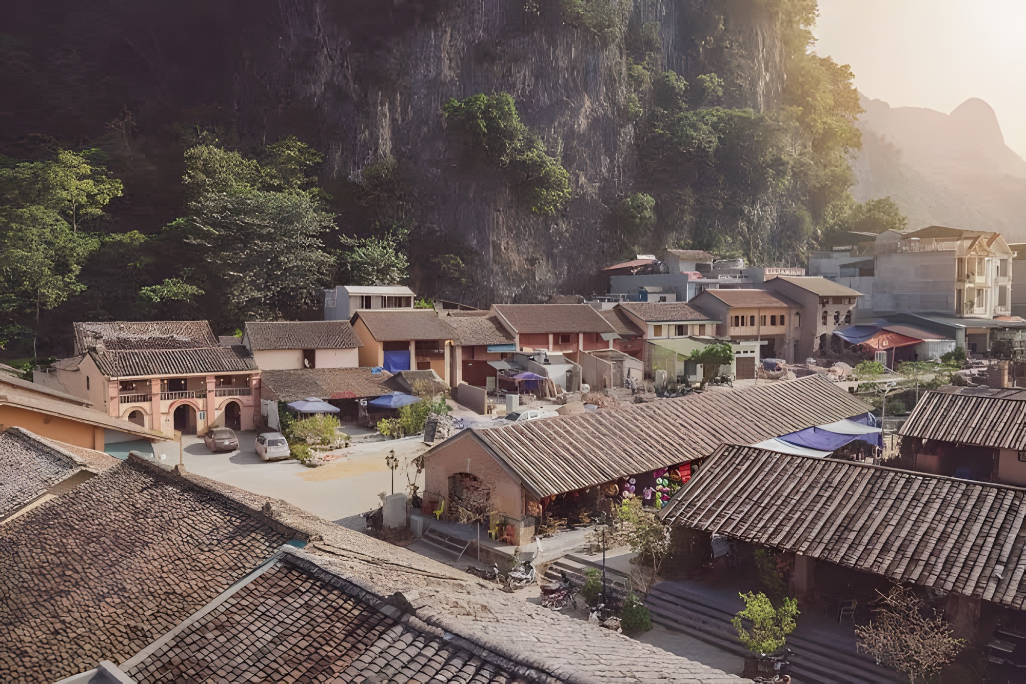
Đồng Văn Old Quarter
An old quarter of yin-yang tiled roofs in the heart of the Rocky Plateau, with a lively Sunday market.
Route & photo spots - +25KM
Detour off the loop
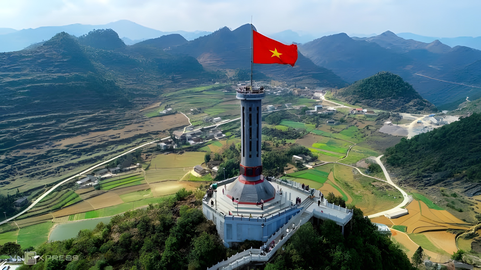
Lũng Cú Flag Tower
A 54 m² flag flying atop Dragon Mountain, at Vietnam's northernmost frontier.
Route & photo spots - Km170
Stop 5/7
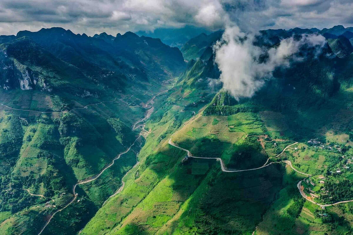
Mã Pí Lèng Pass
The legendary pass hanging on the cliffs, with the jade-green Nho Quế River winding far below.
Route & photo spots - Km170
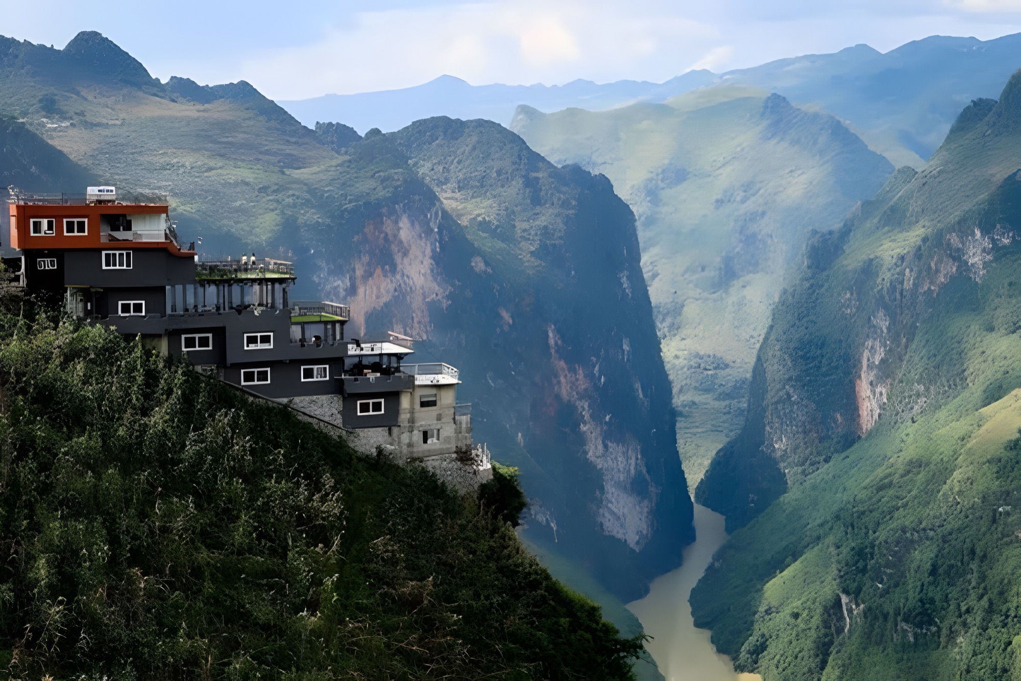
Sight beside the loop
Nho Quế River & Tu Sản Canyon
A jade-green river threading between the sheer rock walls of Tu Sản Canyon.
Route & photo spots - Km185
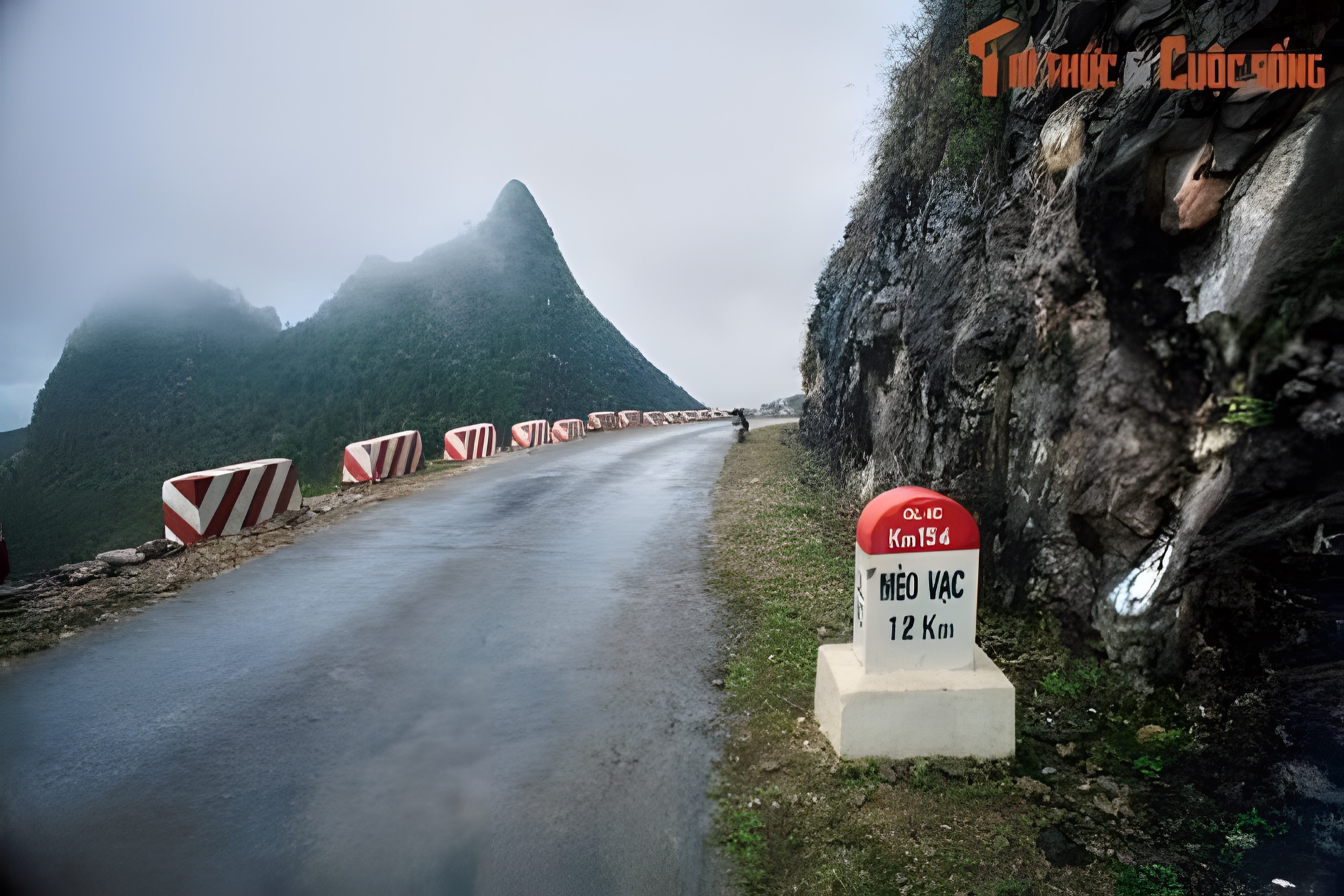
Stop 6/7
Mèo Vạc
The town at the foot of Mã Pí Lèng Pass, with a lively weekly market and the Khâu Vai Love Market.
Route & photo spots - Km265
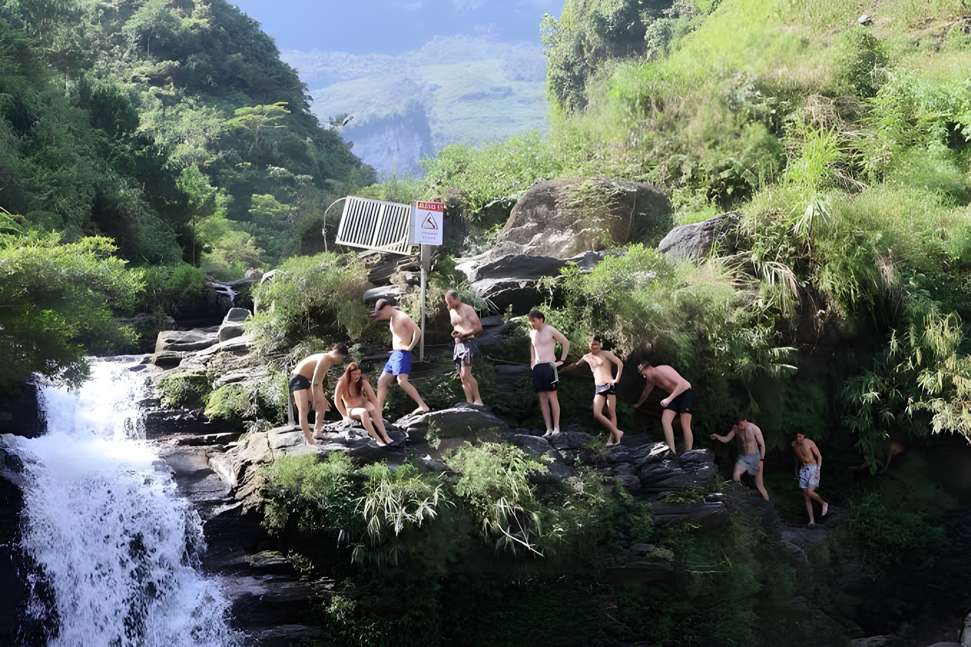
Stop 7/7
Du Già
A peaceful village in a green valley, with a refreshing waterfall after days of mountain passes.
Route & photo spots