

Stop 3/7
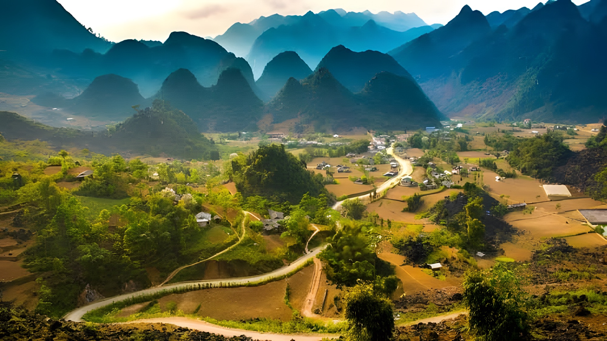
Yên Minh, around Km100 of the Loop, is the rest-stop town between Quản Bạ and Đồng Văn, known for its pine forest amid the limestone. From Quản Bạ the new Cán Tỷ – Yên Minh road is only about 31.4 km, almost 20 km shorter than Road 4C; from Yên Minh the road climbs the Thẩm Mã slope onto the Đồng Văn Rocky Plateau.
Yên Minh, around Km100 of the Hà Giang Loop, is the rest-stop town between Quản Bạ and Đồng Văn, known for its green pine forest in the middle of stone country; coming from Quản Bạ, the quickest and most scenic way here is now the new Cán Tỷ – Yên Minh road, only about 31.4 km.
As you leave Quản Bạ the scenery slowly changes: more grey limestone, then, out of nowhere, cool green pine forests hugging the hillsides. That's the sign you're close to Yên Minh. The small town in this valley is where many travellers stop for lunch or their first night, before tackling the steepest, most winding stretch up to Đồng Văn: the Thẩm Mã slope, the Chín Khoanh bends and the Sủng Là valley.
Since 1 July 2025 Hà Giang province has been merged into Tuyên Quang, so on paper Yên Minh now belongs to Tuyên Quang province; travellers and locals still call the whole route the Hà Giang Loop. This page follows the order you'll meet things on the road: the two ways from Quản Bạ, what to see in and around town, where to eat and sleep, then the next leg up to Đồng Văn.
Two ways from Quản Bạ to Yên Minh
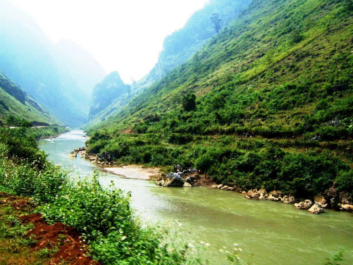
From Quản Bạ centre (Tam Sơn) you have two options. Both start on the same stretch of Road 4C down the Miện river valley, past the turn-off to the paragliding landing field and through Cán Tỷ commune. Then they split, and meet again at the pine forest just before Yên Minh town.
The new Cán Tỷ – Yên Minh road (our recommendation)
This is the route we recommend to guests today. The road is newly built with a very good surface. It leaves Road 4C around Cán Tỷ, runs via Lao Và Chải and rejoins Road 4C about 7–8 km before Yên Minh town. From Quản Bạ centre the whole ride is only about 31.4 km, almost 20 km shorter than staying on Road 4C (about 50 km).
Shorter doesn't mean less beautiful: the road contours along the mountainsides, with many open views down over valleys, corn fields and villages. Its last section is shared with Road 4C, so you still ride through the Yên Minh pine forest just as on the old road and don't miss the best-known stop of this leg.
A few tips for the new road:
- Because it's new, some map apps may not show it properly yet. If you're unsure where to turn, ask locals in Cán Tỷ, or ask our team if you've just flown in Quản Bạ.
- Fill up and buy water in Quản Bạ before you go; don't count on shops along the way.
- A smooth surface makes it tempting to speed. It's still a mountain road: keep a moderate pace, especially on blind bends.
Road 4C (the old road)
If you'd rather ride the whole traditional highway, Quản Bạ to Yên Minh on Road 4C is about 50 km, taking roughly 1 h 30 – 2 h depending on how often you stop. The road crosses valleys of corn fields and Hmong villages, then gradually descends towards town. The asphalt is fairly good, but there are long descents and endless bends; cars manage easily, just watch the narrow corners when you meet trucks and buses.
| New Cán Tỷ – Yên Minh road | Road 4C | |
|---|---|---|
| Distance from Quản Bạ centre | about 31.4 km | about 50 km |
| Surface | newly built, very good | fairly good asphalt, some long descents |
| Passes the Yên Minh pine forest | yes (last section shared with Road 4C) | yes |
| Best for | most guests, especially right after a flight in Quản Bạ | riders who want the full traditional highway |
Yên Minh pine forest
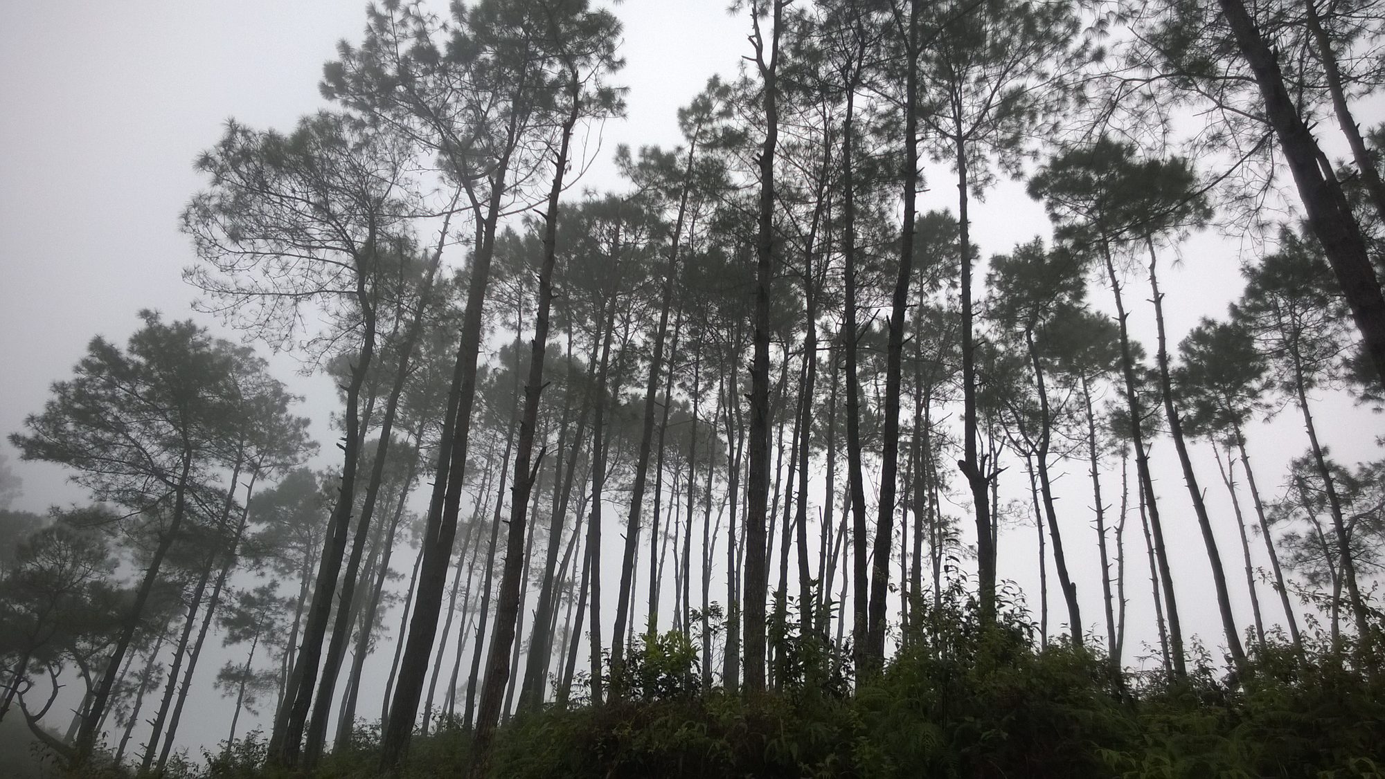
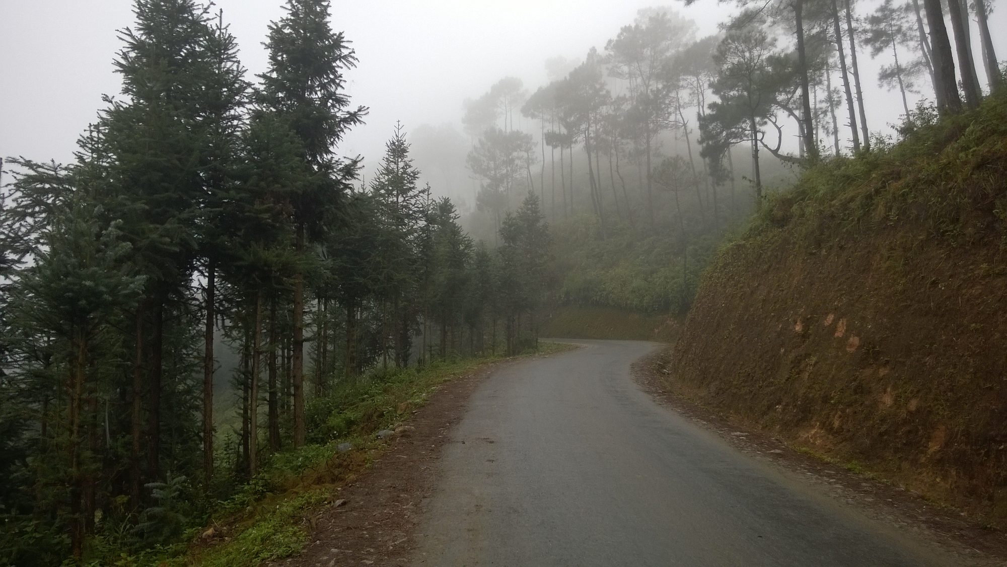
The pine forest planted along Road 4C before town is what most people remember about Yên Minh. After dozens of kilometres of grey rock and corn fields, suddenly the road runs between tall rows of pines, the ground carpeted with needles, the air cool and smelling of resin. It's a rare sight on the Rocky Plateau, so almost everyone stops for a few minutes.
The forest is at its best early in the morning, when mist still hangs between the trunks, or late in the afternoon when the light slants through the canopy. On foggy days the whole forest turns silver-grey: very atmospheric for photos, but ride more slowly.
- Parking: pick a wide shoulder, switch off, and walk a few minutes to the edge of the forest. Never stop on a bend or in the lane.
- Keep it clean: take your rubbish with you and don't light fires. Dry pine needles catch fire very easily, especially in the dry season.
- Respect locals: don't walk into fields or gardens without asking the owner.
Yên Minh town
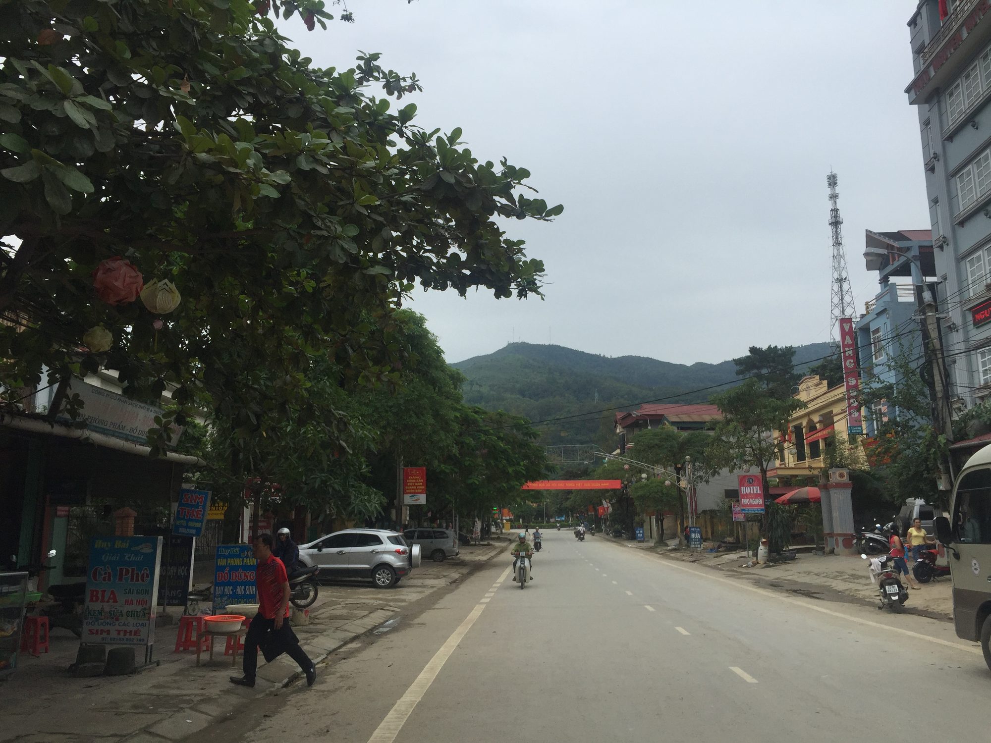
The town is small and quiet, strung out along the valley, with a main street of eateries, guesthouses, small hotels and a petrol station. Compared with Quản Bạ or Đồng Văn it has fewer "photo spots", and that's exactly what makes it pleasant: take an evening stroll, sit at a roadside drinks stall, and you'll feel the unhurried rhythm of highland life, motorbikes carrying goods back to the villages, children playing in front of the houses.
Yên Minh is also the place to regroup: fill the tank, withdraw cash if you're short (ATMs get harder to find higher up), and pick up a warm layer, gloves or a rain poncho. A side road of about 14 km leads from town to Mậu Duệ and on down to Du Già; some itineraries use it to make a loop or shorten the way back.
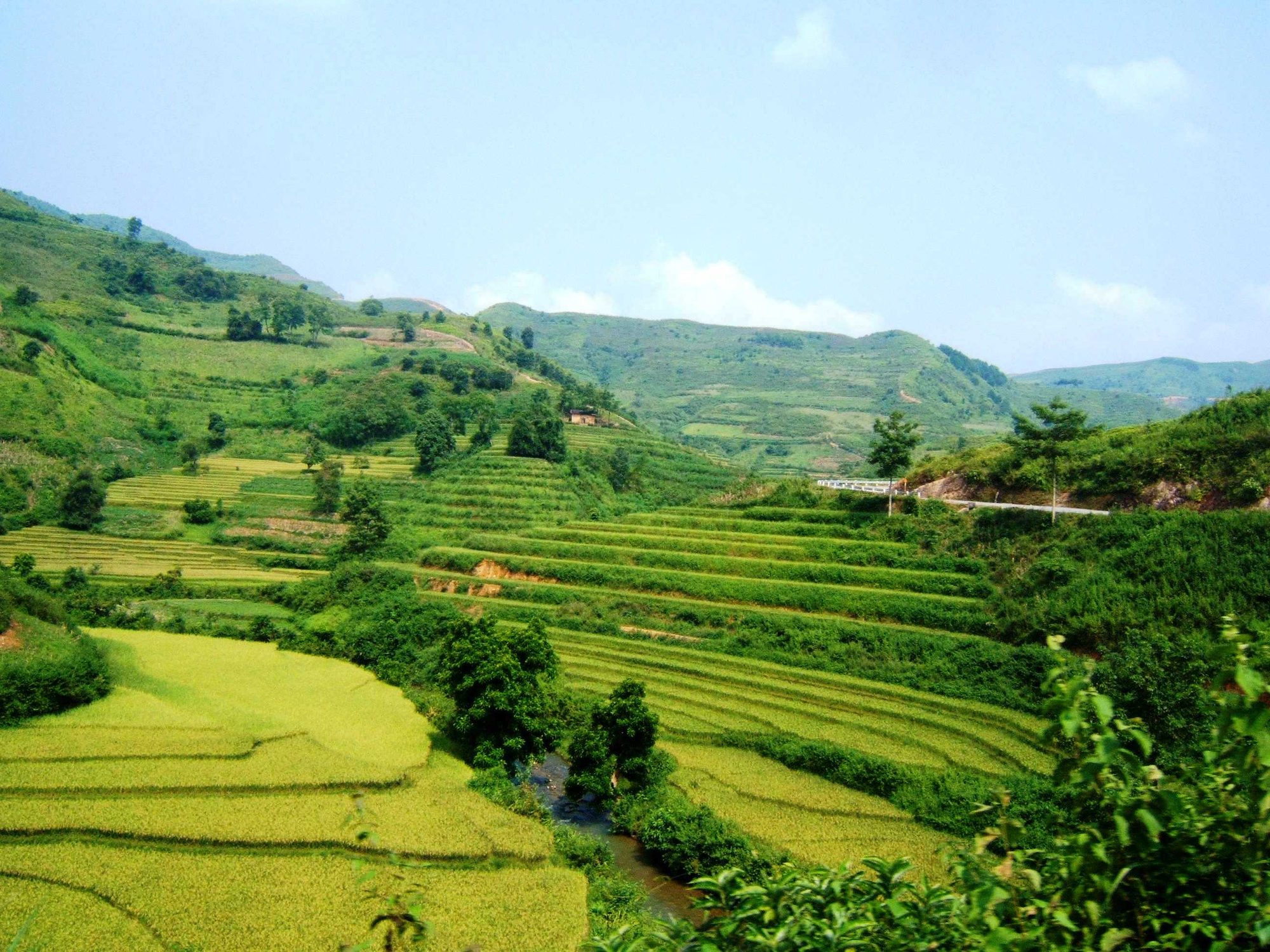
Terraced fields around Yên Minh
Unlike the Rocky Plateau above, the lower land around Yên Minh still has valleys of rice terraces. In the water season, around May–June, the slopes shine with flooded paddies; in September the rice turns golden. By mid-October the harvest is over, so if you ride the Loop late in the year don't expect golden fields. In return the sky is drier and clearer, perfect for riding and mountain views.
The terraces look best from the higher bends looking down into the valley. Don't walk along the paddy walls without permission, and don't fly a drone close to people's houses.
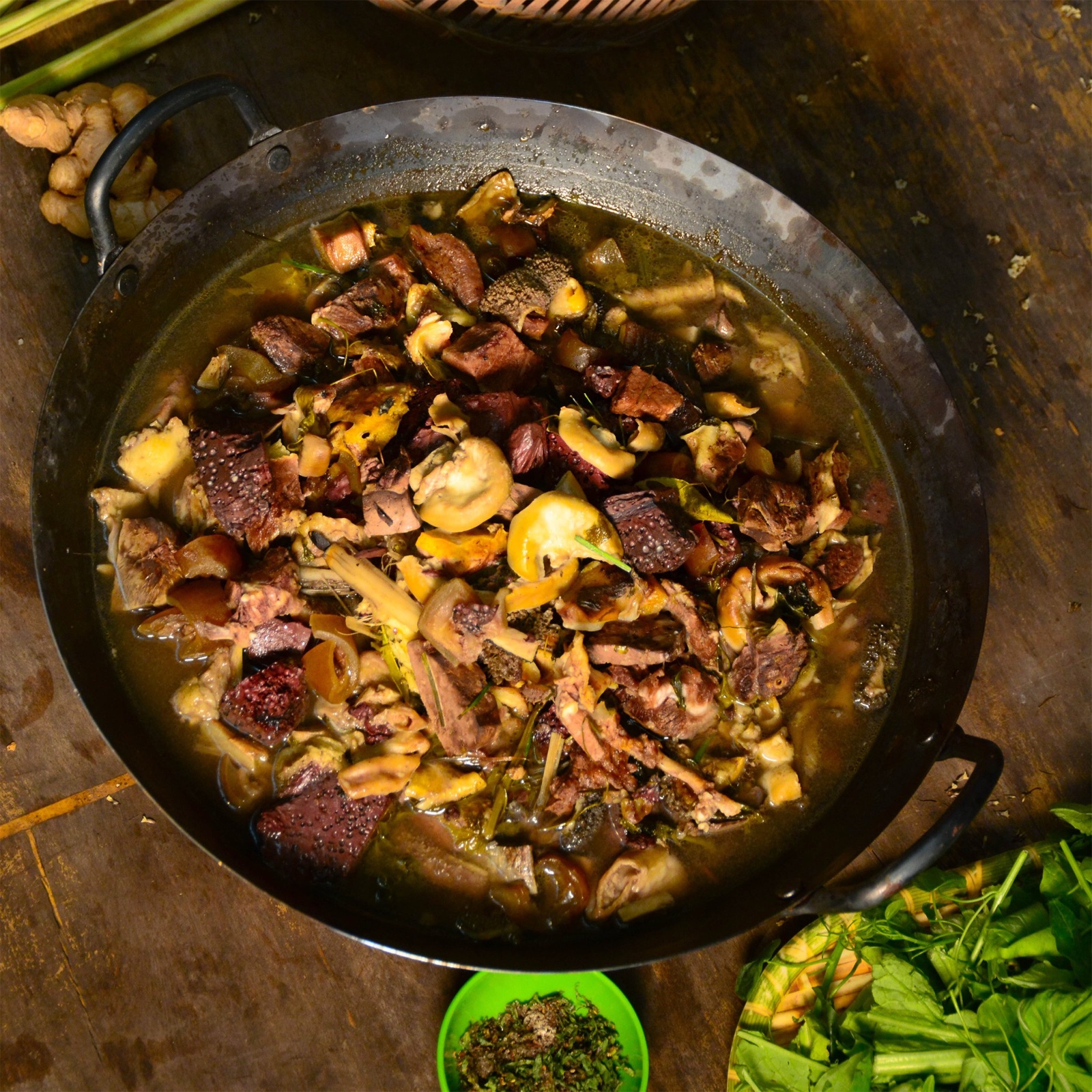
What to eat in Yên Minh
Yên Minh is a good place for a proper meal before heading higher. Try thắng cố, black pork, smoked sausage (lạp xưởng gác bếp), cơm lam (rice cooked in bamboo), stir-fried Hmong mustard greens and a small cup of corn wine if you're not riding. In the morning, eateries in town usually serve phở, bánh cuốn and hot rice porridge for a quick breakfast before you set off.
Thắng cố is a stew of meat and offal (usually horse or beef) with spices such as black cardamom and cinnamon; the flavour is strong, so order a small portion to try first. For more dishes worth trying along the Loop, see Hà Giang specialities to try.
Where to sleep
The town has guesthouses, small hotels and homestays; some homestays sit right by the fields or at the foot of the pine hills, quieter than the centre. In peak season (October–November, holidays, weekends) book ahead.
Many 3–4-day itineraries spend the first night in Yên Minh so the next day is free for Đồng Văn, plus the side trip to the Lũng Cú Flag Tower (about 25 km each way from Đồng Văn). Another option: sleep the first night in Quản Bạ, fly early, then take the new road to Yên Minh for lunch and reach Đồng Văn the same afternoon. See the details in our 4-day, 3-night Hà Giang Loop itinerary.
From Yên Minh to Đồng Văn: the Thẩm Mã slope and the Rocky Plateau
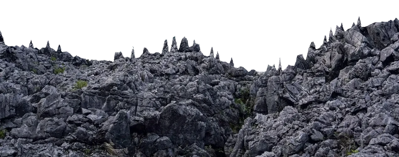
From Yên Minh to Đồng Văn town is about 45–50 km on Road 4C, around 1 h 30 – 2 h without stops. This is where the scenery changes most on the whole Loop: you leave the green valley and climb steadily into a land of jagged limestone peaks.
Thẩm Mã slope
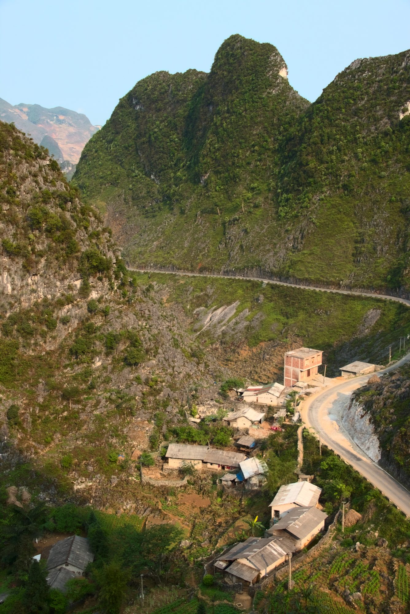
The famous climb near Phố Cáo, whose name recalls the old days when people tested their horses' strength here. The road coils in hairpins between two steep mountainsides; at the top there's a viewpoint looking back over the road you've just conquered. It's one of the best spots on this leg to photograph the road itself.
- Park close to the edge, use your indicator, and never stand on a bend to take photos.
- Going up the long climb, shift down on a manual bike; on the way down use engine braking instead of riding the brakes.
- If you want to photograph local people or children you meet along the way, ask first.
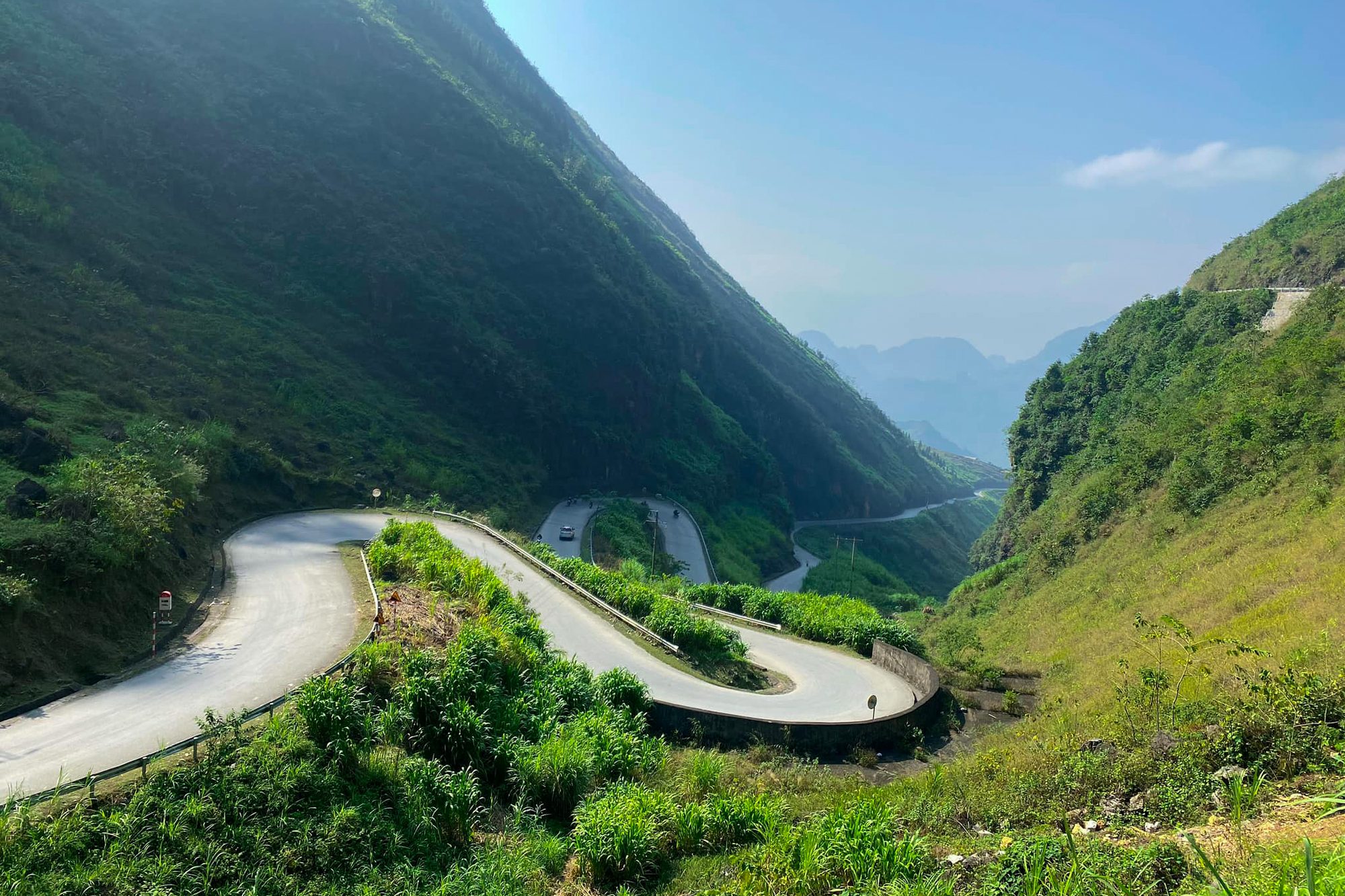
Phố Cáo, the Chín Khoanh bends, Sủng Là, Sà Phìn
After Thẩm Mã comes Phố Cáo (now part of Phố Bảng commune). Between Phố Cáo and Sủng Là lies the Chín Khoanh slope, where Road 4C folds into nine bends, best seen from the stop at the top. Down in the Sủng Là valley you can visit Nhà của Pao (Pao's House) in Lũng Cẩm, the rammed-earth house made famous by the film of the same name.
Further on, past Sà Phìn, is the Vương family mansion (the "Hmong King's Palace"), about 13 km from central Đồng Văn, down in the valley right beside Road 4C and reached by a short branch road. Sà Phìn market is a "rolling" market held every six days beside Road 4C. More in our posts on the Hmong King's Palace in Sà Phìn and Hà Giang's highland markets.
All along this stretch you'll see what defines the plateau: rammed-earth houses, dry-stone walls, corn growing in rock hollows. This is the Đồng Văn Karst Plateau UNESCO Global Geopark, which spans Quản Bạ, Yên Minh, Đồng Văn and Mèo Vạc. There are no rice terraces around Đồng Văn; instead you get stone, corn, buckwheat and clouds.
Riding safely on the Quản Bạ – Yên Minh – Đồng Văn leg
- Fog and darkness: late afternoons and winter can bring thick fog, especially around the pine forest. Avoid riding the passes after dark; in November–December the sun sets around 17:15–17:30.
- People and animals: small children, buffalo, cows and goats often wander onto the road, the new road included. Give a light toot of the horn on blind bends.
- After rain: watch for small stones and mud washed onto the road below cut slopes.
- Fuel: fill up in Quản Bạ before the new road and in Yên Minh before Đồng Văn; the climb onto the plateau burns more fuel than you'd think.
- Clothing: wear several thin layers. Midday can be hot, but a few hundred metres higher the wind is suddenly cold.
If you're not used to mountain roads, riding with an easy rider lets you relax, enjoy the views and stop in the right places. We compare the two options in Easy rider or riding yourself.
When to go
- January–March: plum and peach blossom in the villages; the pine forest stands out against the cold sky. Late December – January can bring frost on the high plateau.
- May–June: water season on the terraces around Yên Minh.
- September: golden rice in the valleys.
- October–December: dry season, clearer skies. Buckwheat flowers along the road to Đồng Văn from about October to early December, peaking around late October – November. The 12th Buckwheat Flower Festival opened on the evening of 25 October 2026 in Đồng Văn commune, with activities running until the end of December. Mornings and evenings are cold, often 5–15 °C, so bring a warm jacket.
See also Hà Giang weather by month and buckwheat flower season.
Fly in Quản Bạ before you reach Yên Minh
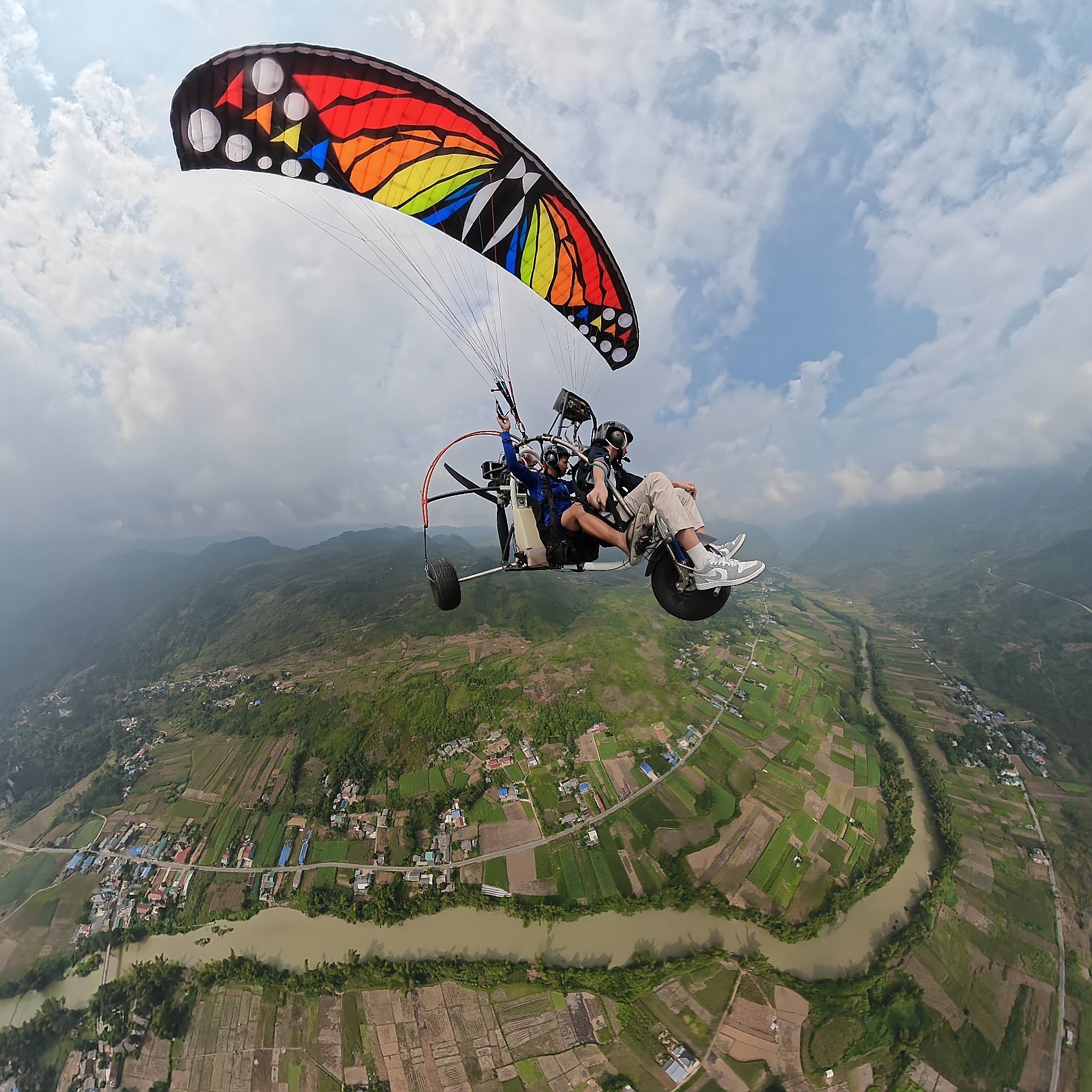
The Quản Bạ flying site is right on your way: the paragliding landing field and the paramotor take-off are in the valley beside the Miện river, next to Road 4C and before Cán Tỷ, so before the turn onto the new road. After your flight you carry straight on to Yên Minh without backtracking.
- Tandem paragliding (PG): launch from the ridge at about 950 m, 9–15 minutes depending on the wind, 2,290,000 VND (≈ US$ 91); sunset flight 2,990,000 VND (≈ US$ 119).
- Paramotor (PPG): take-off from the flat field by the Miện river, 15 minutes 2,490,000 VND (≈ US$ 99); long flight of 22–25 minutes (cloud chasing, sunrise or sunset) 3,390,000 VND (≈ US$ 135).
- Open daily 06:30–18:30. Free GoPro video, insurance, drinking water, and free pick-up within the Quản Bạ area (Cán Tỷ included).
- Book online with no deposit and pay at the site before your flight. We only fly when wind and visibility are safe; the team confirms your time on the morning of the flight, and bad weather means free rescheduling.
Our suggestion: sleep in Quản Bạ, fly in the morning (seas of clouds are most likely early after a cool, humid night), then take the new Cán Tỷ – Yên Minh road, have lunch in Yên Minh and reach Đồng Văn in the afternoon. In Đồng Văn you can also fly tandem paragliding by prior appointment, see Đồng Văn paragliding site.
Frequently asked questions
Should I take the new Cán Tỷ – Yên Minh road or Road 4C?
We recommend the new road: about 31.4 km from Quản Bạ centre, almost 20 km shorter than Road 4C, with a very good surface and beautiful views, and its last section still passes the Yên Minh pine forest. Only choose Road 4C if you want to ride the full traditional highway.
How long does it take from Quản Bạ to Yên Minh?
On Road 4C it's about 50 km and takes roughly 1 h 30 – 2 h depending on stops. The new road is almost 20 km shorter, so it's noticeably quicker. Add time for the pine forest and the viewpoints.
Is it worth staying the night in Yên Minh?
Yes, if you're doing the Loop in 3–4 days and want a full day for Đồng Văn and Lũng Cú. If you're short on time, just have lunch in Yên Minh and carry on.
Where is the Thẩm Mã slope?
On Road 4C between Yên Minh and Đồng Văn, near Phố Cáo, before the Chín Khoanh slope and the Sủng Là valley. There's a viewpoint at the top looking back over the road.
Can I go paragliding in Yên Minh?
No. Our team flies every day in Quản Bạ (about 50 km before Yên Minh on Road 4C, less on the new road) and offers tandem paragliding in Đồng Văn by prior appointment. The wind and visibility forecast is on our flying weather page.
Book a flight: book online — no deposit, free rescheduling in bad weather
Hotline / Zalo / WhatsApp: +84 964 073 555
Read more: Quản Bạ flying site · Getting to the Quản Bạ flying site · The Hà Giang Loop stop by stop
Next stop: Đồng Văn Old Quarter · Previous stop: Quản Bạ