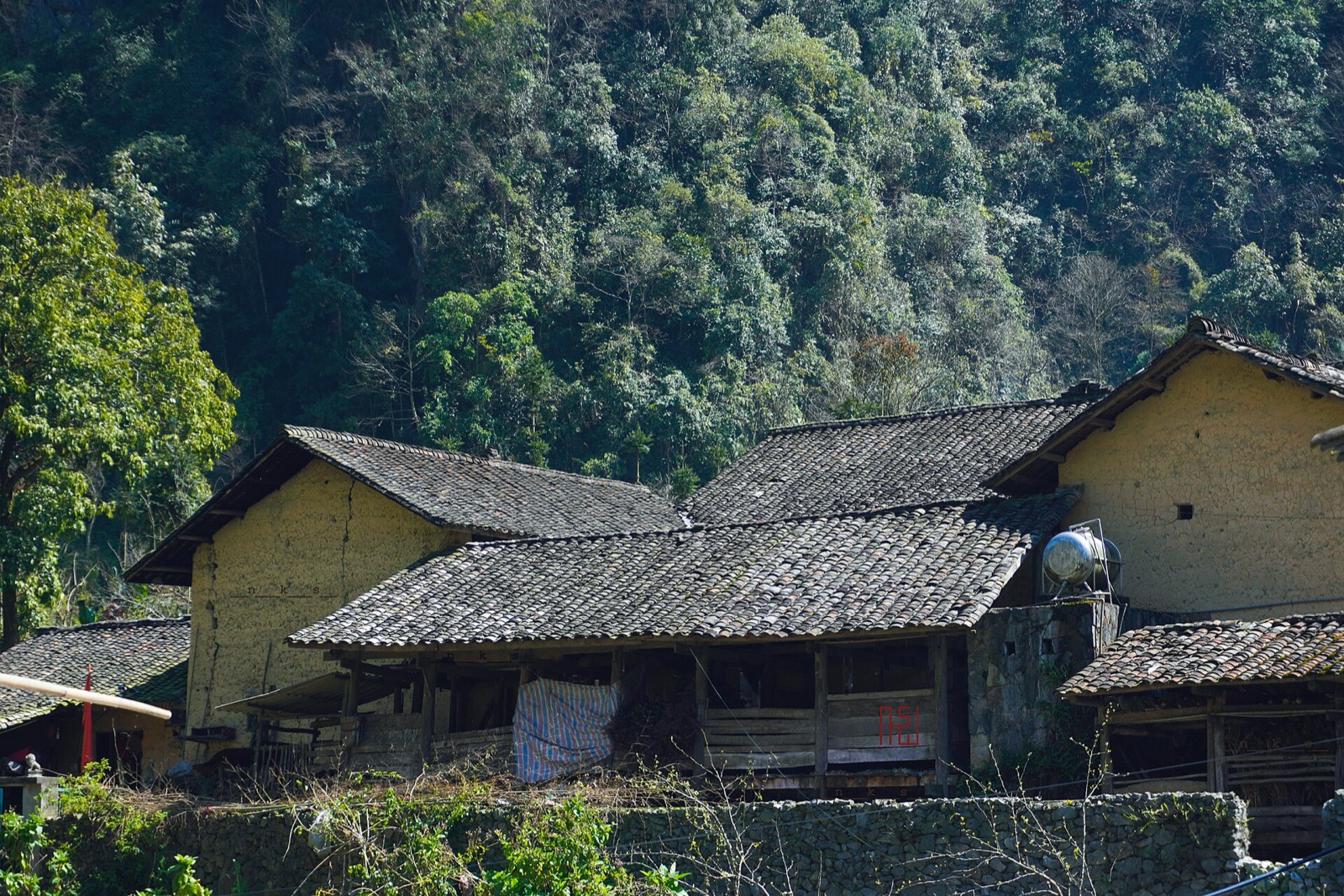
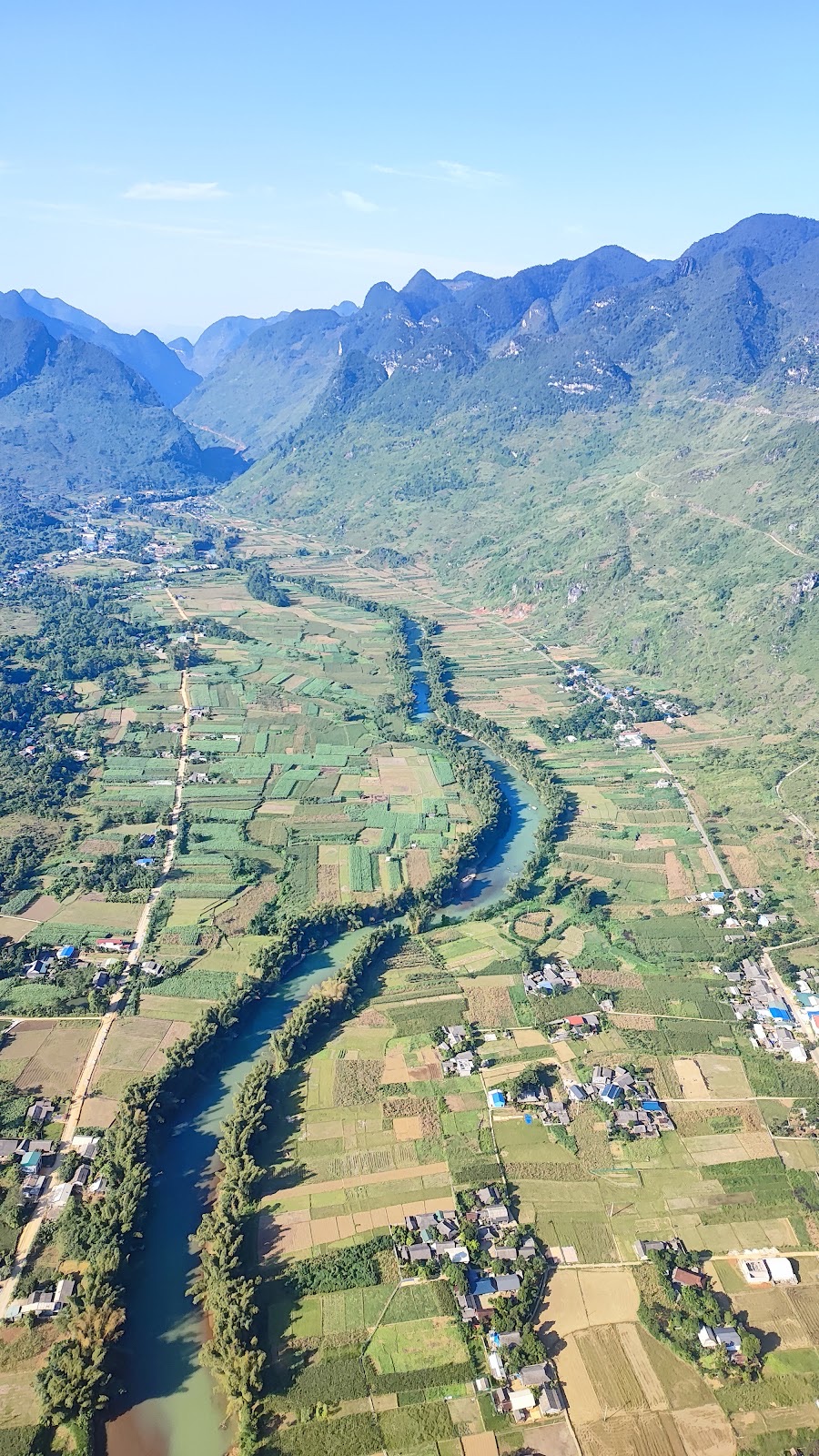
Yên Minh Pine Forest on the Hà Giang Loop: where it is, best light, safe stopping and itineraries
The Yên Minh pine forest lines Highway 4C about 7–8 km before Yên Minh town on the Quản Bạ side: exact location, commune after the 2025 merger, best light, how to stop safely, what's nearby and how to fit it into a 3- or 4-day Loop.
Ms. Judy · · 14 min read
The Yên Minh pine forest is a stretch of pines and other conifers on both sides of Highway 4C, about 7–8 km before Yên Minh town (now Yên Minh commune, Tuyên Quang province) on the Quản Bạ side; it is free and open, with no ticket, and a 20–30-minute stop is enough to walk in, take photos and carry on down to town for lunch.
Riders on the Hà Giang Loop jokingly call it "little Đà Lạt", after the pine-covered hill town in Vietnam's Central Highlands. This guide tells you exactly where the forest is, when to stop, how to park safely and how to fit it into a 3- or 4-day Loop.
Quick facts
Info
Details (approximate)
Location
Highway 4C (QL4C), on the descent to Yên Minh town, about 7–8 km before the town centre
Commune
On the boundary of the former Na Khê and Lao Và Chải communes; since 1 July 2025 Na Khê is part of Bạch Đích commune and Lao Và Chải part of Yên Minh commune, Tuyên Quang province
From central Quản Bạ
About 24 km on the new Cán Tỷ – Yên Minh road, about 40 km if you stay on QL4C
From Hà Giang city
About 70 km (via the new road) to about 90 km (all on QL4C)
Altitude
Roughly 850–950 m, about 400 m above Yên Minh town (from terrain maps)
Ticket
None — no gate, it is right beside the highway
How long to stop
20–30 minutes; 45–60 minutes if you want to take your time with photos
Best time
Early morning in the mist, or late afternoon in low sun
Where is the pine forest on the Hà Giang Loop?
On the Loop, Quản Bạ is at roughly Km45 and Yên Minh at roughly Km100. The forest sits at the end of the leg between them, where QL4C starts its long descent into the Yên Minh valley. Through the forest the road hugs the hillside and runs roughly west to east.
There are two ways from Quản Bạ, and both go through the forest:
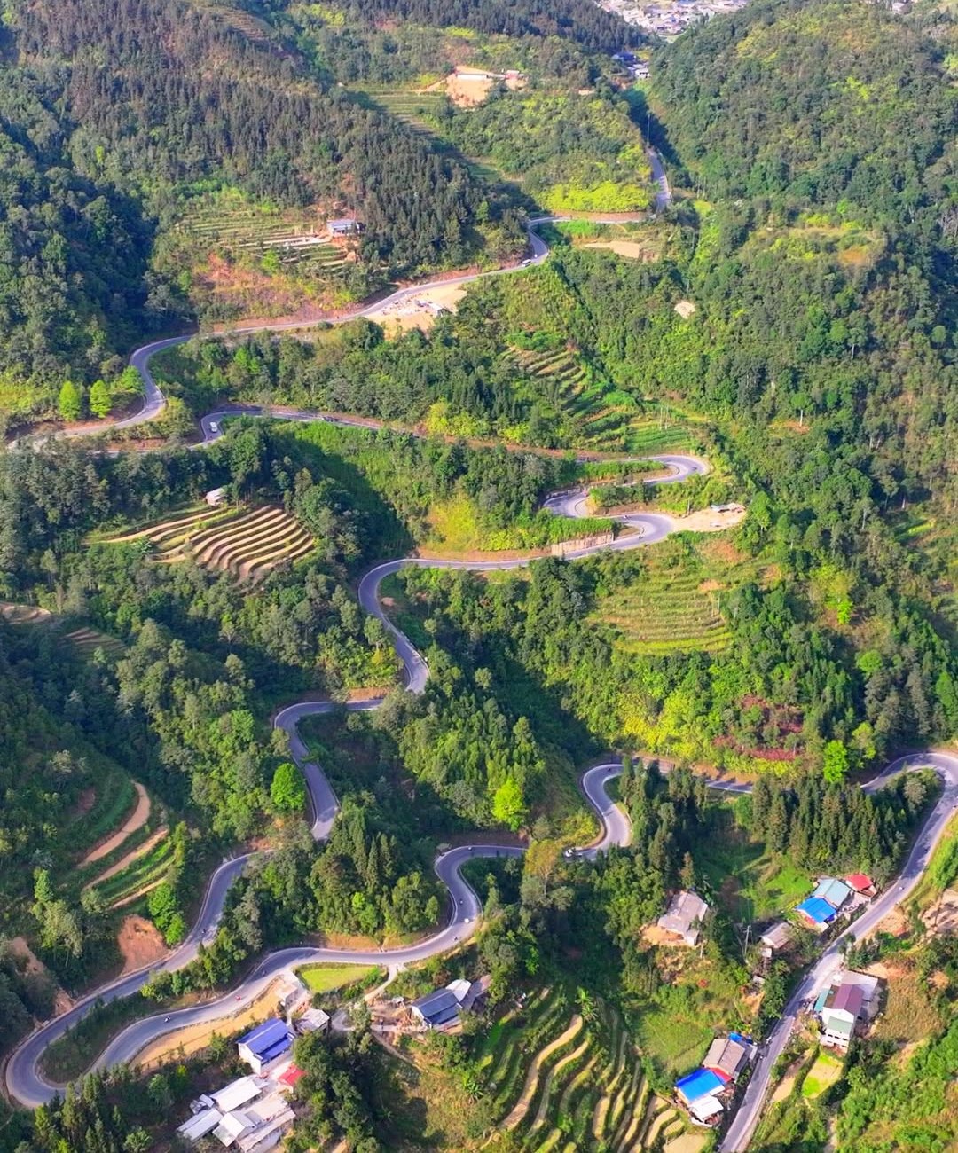
The new Cán Tỷ – Yên Minh road (our recommendation): it leaves QL4C around Cán Tỷ, runs through Lao Và Chải and rejoins QL4C about 7–8 km before town. The pines start only about 1 km after the junction. Quản Bạ to Yên Minh this way is about 31.4 km.
Staying on QL4C: about 50 km from Quản Bạ to Yên Minh, past more corn valleys and Hmong villages, reaching the forest on the last stretch.
Because the new road is so new, some map apps don't show it fully yet. If you're unsure where to turn at Cán Tỷ, ask a local. Both routes are described in our guide.
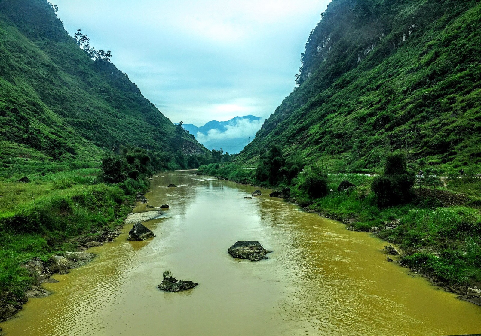
The Miện River at Cán Tỷ, at the start of the Quản Bạ – Yên Minh leg before the pine forest (2015) — Photo: trungydang, CC BY 3.0, Wikimedia Commons
Commune names after the 2025 merger
Since 1 July 2025 Hà Giang province has been merged into Tuyên Quang province. Under Resolution 1684/NQ-UBTVQH15, the former Na Khê commune is now part of Bạch Đích commune, while Yên Minh town and Lao Và Chải are now part of Yên Minh commune. When asking the way, just say "rừng thông Yên Minh" (Yên Minh pine forest) and everyone will know.
What does the forest look like?
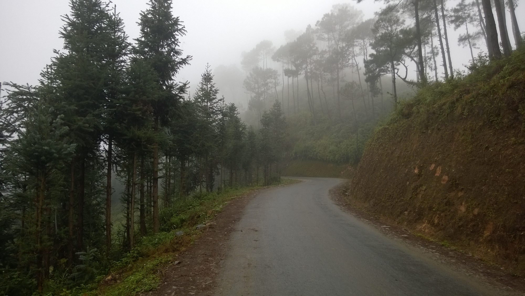
What makes the Yên Minh pine forest special is the contrast: after dozens of kilometres of grey limestone and corn fields, the hillside is suddenly covered in conifers. There are pines with tall, straight trunks, branches high up and open crowns that let the light through; in between stand dark-green, pyramid-shaped conifers with dense needles and drooping branches.
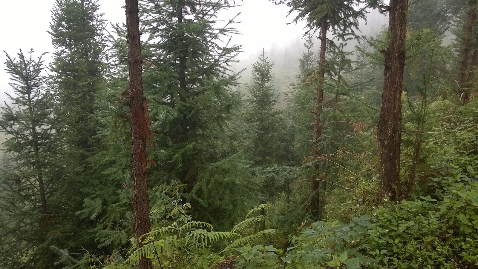
Under the trees are ferns, grass and a carpet of dry needles. The road follows the slope, with an earth bank on one side and the valley opening up on the other, so here and there you can look between the trunks down to the villages and fields below.
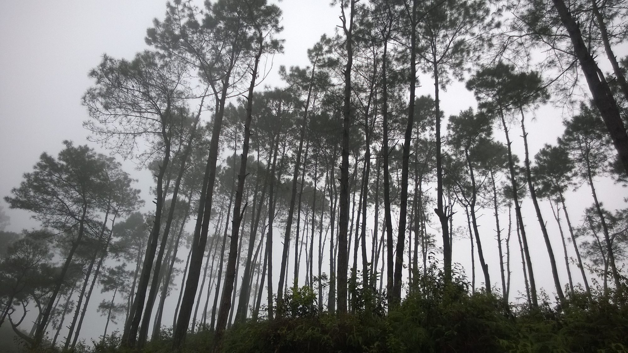
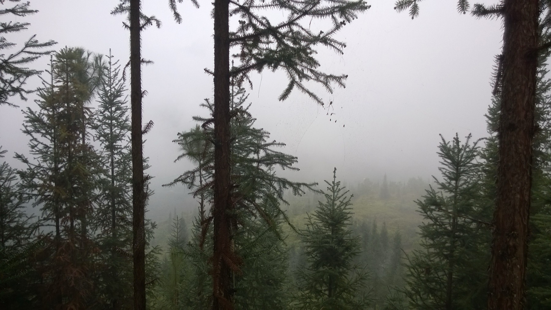
Straight pine trunks in the early-morning mist at the Yên Minh pine forest — Photo: Vuong Tri Binh, CC BY-SA 4.0, Wikimedia Commons
The forest through the seasons
October–December: the dry season, usually with clearer skies. Mornings and evenings are cold, often 5–15 °C in the highlands; after a cold, damp night the mist can sit in the forest until mid-morning.
October – early December: buckwheat flower season; between Quản Bạ and Yên Minh you may pass a few small fields beside QL4C — nothing like the Đồng Văn area, but worth a stop. See buckwheat flower season.
January–March: peach and plum blossom around the villages; the dark pines stand out against the cold sky. From late December to January the highlands can see frost, and early-morning roads are more slippery.
Summer: the forest is greener but rain and low cloud are common; after heavy rain, soil and stones can wash onto the road. See also Hà Giang weather by month.
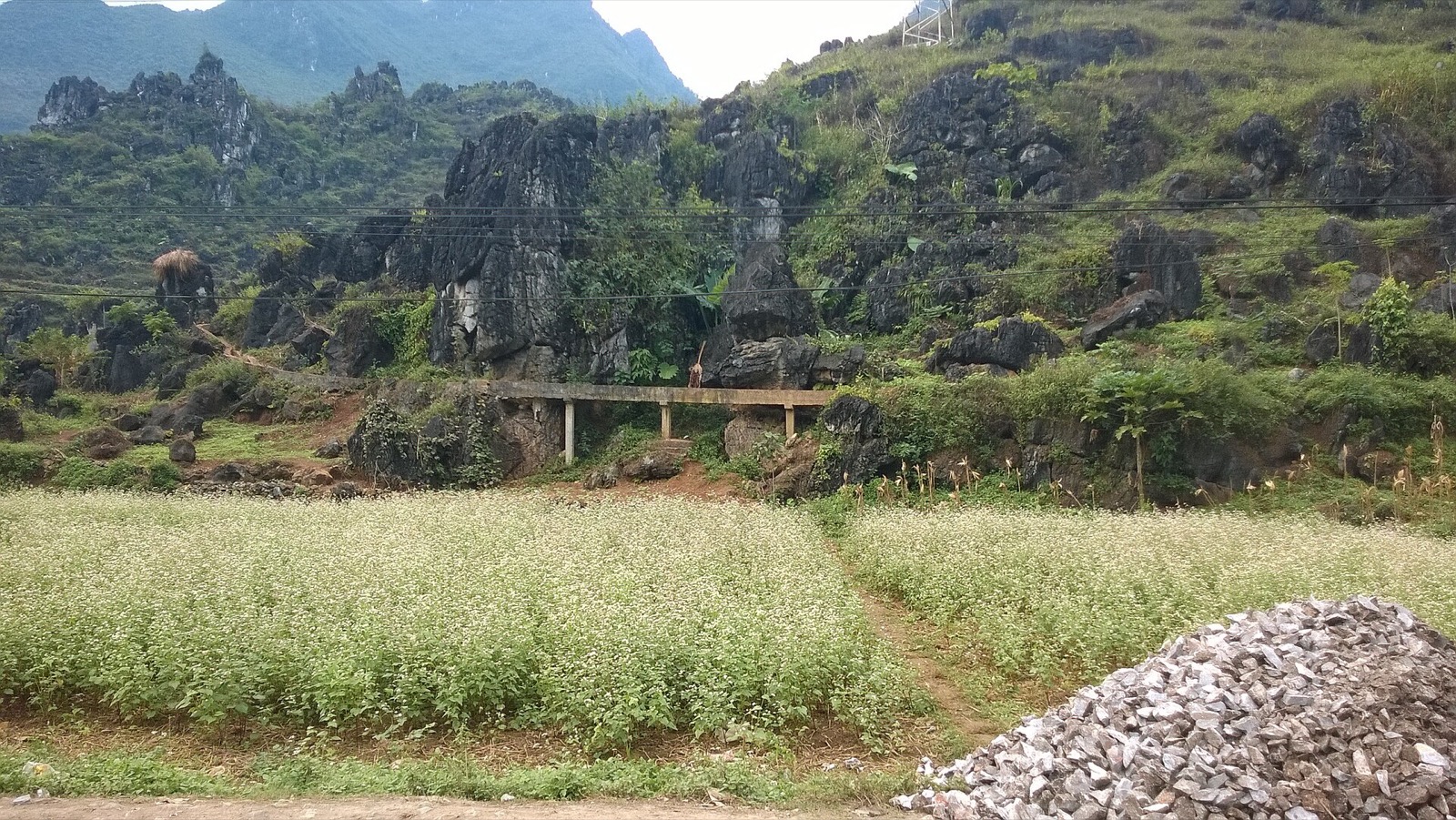
Buckwheat beside QL4C on the way from Quản Bạ to Yên Minh (December 2014) — Photo: Vuong Tri Binh, CC BY-SA 4.0, Wikimedia Commons
When is the light best?
Early morning (around 7:00–9:00): the best time if you like atmosphere. Mist hangs between the trunks and the forest turns silver-grey. Because the road runs roughly west–east, once the sun rises in the east its rays stream through the mist along the road.
Midday: harsh sun and hard shadows; photos look flatter.
Late afternoon: low sun from the west warms the colour of the bark. In November–December the sun sets around 17:15–17:30, so don't stop too late or you'll be riding the long descent to town in the dark.
If you fly in Quản Bạ in the morning and take the new road, you'll pass the forest around midday. If you sleep in Yên Minh, you can ride 7–8 km back up the next morning to catch the mist.
Where to stop safely
There is no car park; you stop on the shoulder of QL4C, a highway with regular trucks and coaches:
Pick a wide, straight stretch of shoulder where you can see traffic coming from both directions. Never stop on a bend, a crest or a narrow section.
Indicate early, slow down well in advance, and pull fully onto the shoulder before switching off; cars should use hazard lights.
Don't stand in the road to take photos, even when it looks empty. For the classic road-through-the-forest shot, stand on the shoulder or the bank and shoot along the road.
Fog: lights on, ride slowly, no overtaking. Around the pine forest the mist is often thicker than elsewhere on this leg.
From the forest down to town is a long descent, losing about 400 m of height in roughly 7–8 km. On a manual or semi-automatic bike, shift down and use engine braking rather than riding the brakes. If you're not used to mountain roads, riding with an easy rider is much more relaxing; see easy rider or self-drive.
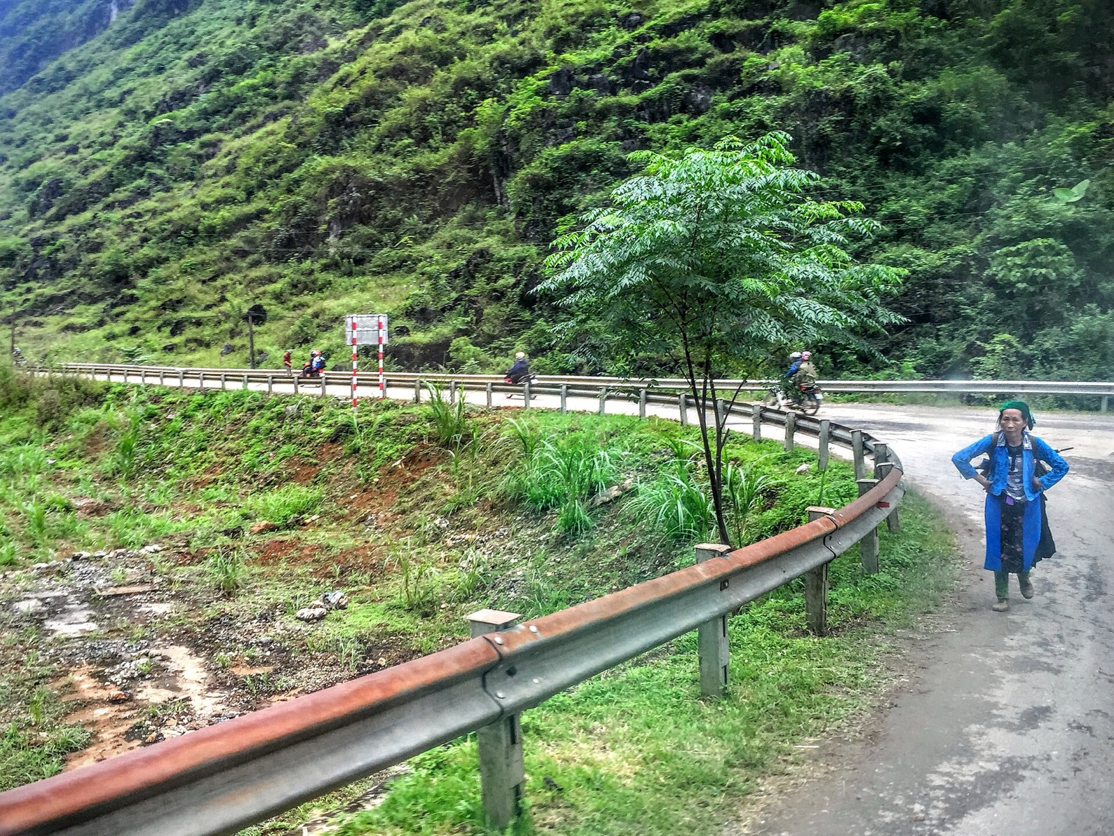
A bend on QL4C at Cán Tỷ: pedestrians and motorbikes share the road, so never stop on a bend (2015) — Photo: trungydang, CC BY 3.0, Wikimedia Commons
Walking in and taking photos
A few dozen metres into the edge of the forest and you've left the traffic noise behind. Wear shoes with good grip: dry needles and the sloping ground are slippery, especially after rain.
Some easy shots:
The road through the forest: stand at the edge at the start of a straight section and shoot along the road so the trees on both sides lead the eye in.
Backlit trunks: stand below the slope and point up the hill so the trunks stand out as straight lines against the sky or mist.
Through the trunks to the valley: find a gap between the trees and use the trunks as a frame on either side.
Thick-mist days: dial the exposure down slightly to keep the silver-grey tones.
Looking between the trunks to the misty valley at the Yên Minh pine forest — Photo: Vuong Tri Binh, CC BY-SA 4.0, Wikimedia Commons
If you fly a drone, keep well away from houses and the traffic.
Forest etiquette
No fires, no smoking under the trees. Dry pine needles catch fire very easily, especially in the dry season from October on.
Take your rubbish with you to a bin in town; don't leave bottles or plastic bags under the trees.
The land around the forest includes fields and gardens: don't walk in without asking the owner.
Ask before photographing people, especially the elderly and children. Don't hand out sweets or money to children by the road.
If you plan to camp overnight, ask the commune authorities or nearby residents first, and don't light a fire.
Inside the conifer forest at Yên Minh, with ferns under the trees — Photo: Vuong Tri Binh, CC BY-SA 4.0, Wikimedia Commons
What's near the pine forest?
Lao Và Chải and the new road
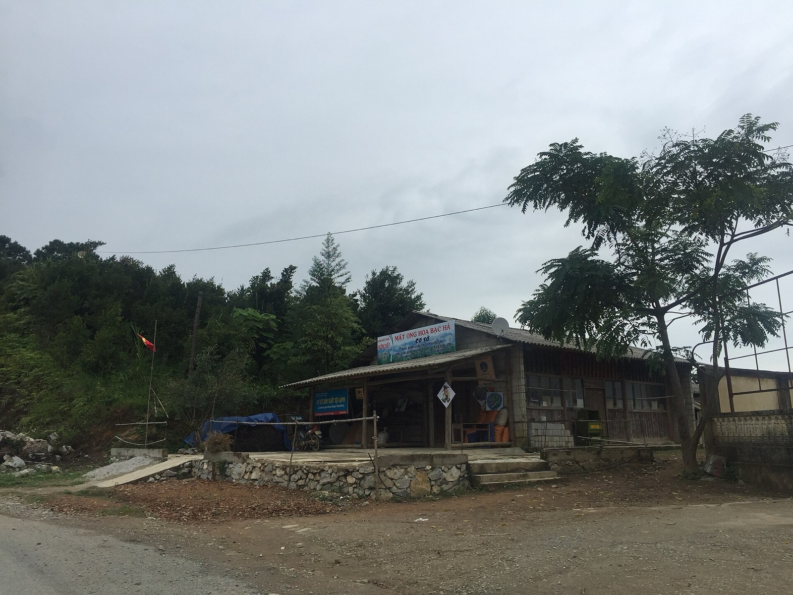
The new Cán Tỷ – Yên Minh road runs through the Lao Và Chải area just before the forest, along the mountainside with many views down into the valley and villages. A few households sell goods beside QL4C near the forest (in 2015 there was a place selling mint-flower honey and making linen thread), but roadside stalls change from year to year; fill up with fuel and buy water in Quản Bạ before you set off.
Linen weaving is a familiar Hmong craft along this stretch. To see linen weaving and beeswax batik up close, visit the Lùng Tám linen village on the Quản Bạ side.
A roadside house on QL4C at Lao Và Chải, near the pine forest, with signs for mint-flower honey and linen (2015) — Photo: trungydang, CC BY 3.0, Wikimedia Commons
Yên Minh town: lunch and fuel
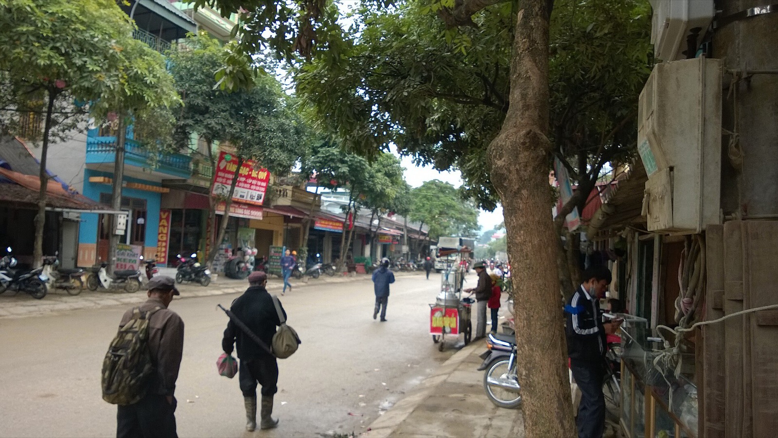
From the forest to central Yên Minh is about 7–8 km. The town has eateries, guesthouses, homestays and a petrol station, and makes a good lunch stop: try thắng cố (a rich highland stew), black pork, smoked sausage (lạp xưởng) and stir-fried Hmong mustard greens; in the morning there's phở, bánh cuốn and hot rice porridge. Fill up and get cash here before heading up to the plateau. See also Hà Giang specialities to try.
From town, a branch road of about 14 km leads to Mậu Duệ and on down to Du Già.
The main street of Yên Minh town, the lunch stop after the pine forest (2014) — Photo: Vuong Tri Binh, CC BY-SA 4.0, Wikimedia Commons
On to Đồng Văn
From Yên Minh to Đồng Văn is about 45–50 km. Leaving the valley, the road climbs onto the Rocky Plateau via the Thẩm Mã slope and the Chín Khoanh bends, then on to Sủng Là and Sà Phìn. See our Đồng Văn guide.
Fitting the pine forest into a 3- or 4-day Loop
The pine forest is a stop on the road, not a half-day outing; what matters is what time you pass it.
4 days, 3 nights (relaxed pace):
Day 1: Hà Giang city → Quản Bạ Heaven Gate → paragliding or paramotor in Quản Bạ in the morning → new Cán Tỷ – Yên Minh road → pine forest in the early afternoon → sleep in Yên Minh. About 76 km in total.
Day 2: for misty photos, ride back up to the forest at dawn and return; then Thẩm Mã → Sà Phìn → Lũng Cú → Đồng Văn.
Days 3–4: Mã Pí Lèng, Mèo Vạc, Du Già, then back to Hà Giang.
3 days, 2 nights: day 1, fly in Quản Bạ in the morning, pass the forest around midday and have lunch in Yên Minh; day 2, Lũng Cú and Đồng Văn; day 3, Mã Pí Lèng, Mèo Vạc and Mậu Duệ, then the branch road back to Yên Minh and the new road to Quản Bạ. You pass the forest twice, so you can choose whichever time has the better light for a longer stop.
Paragliding in Quản Bạ before the pine forest
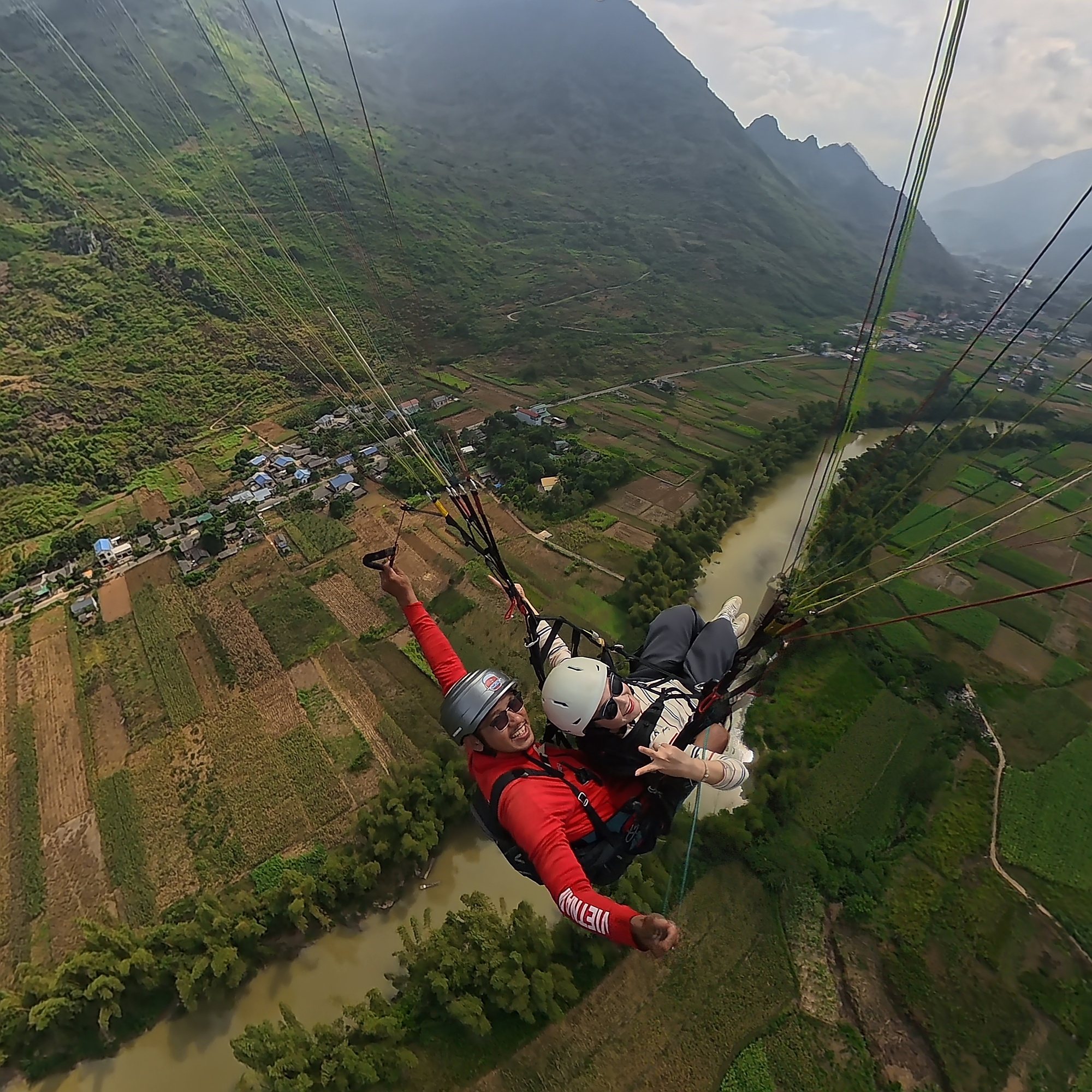
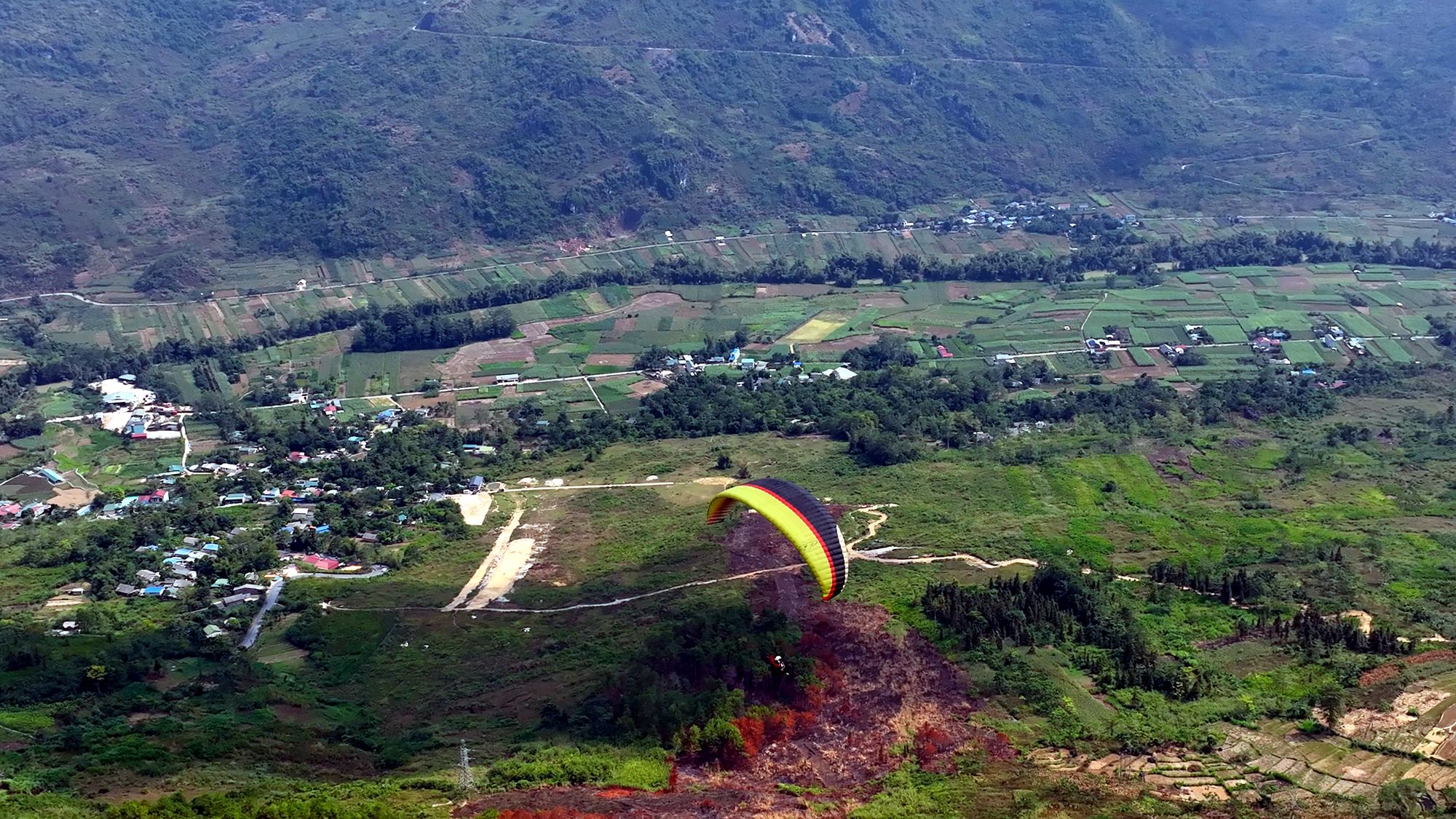
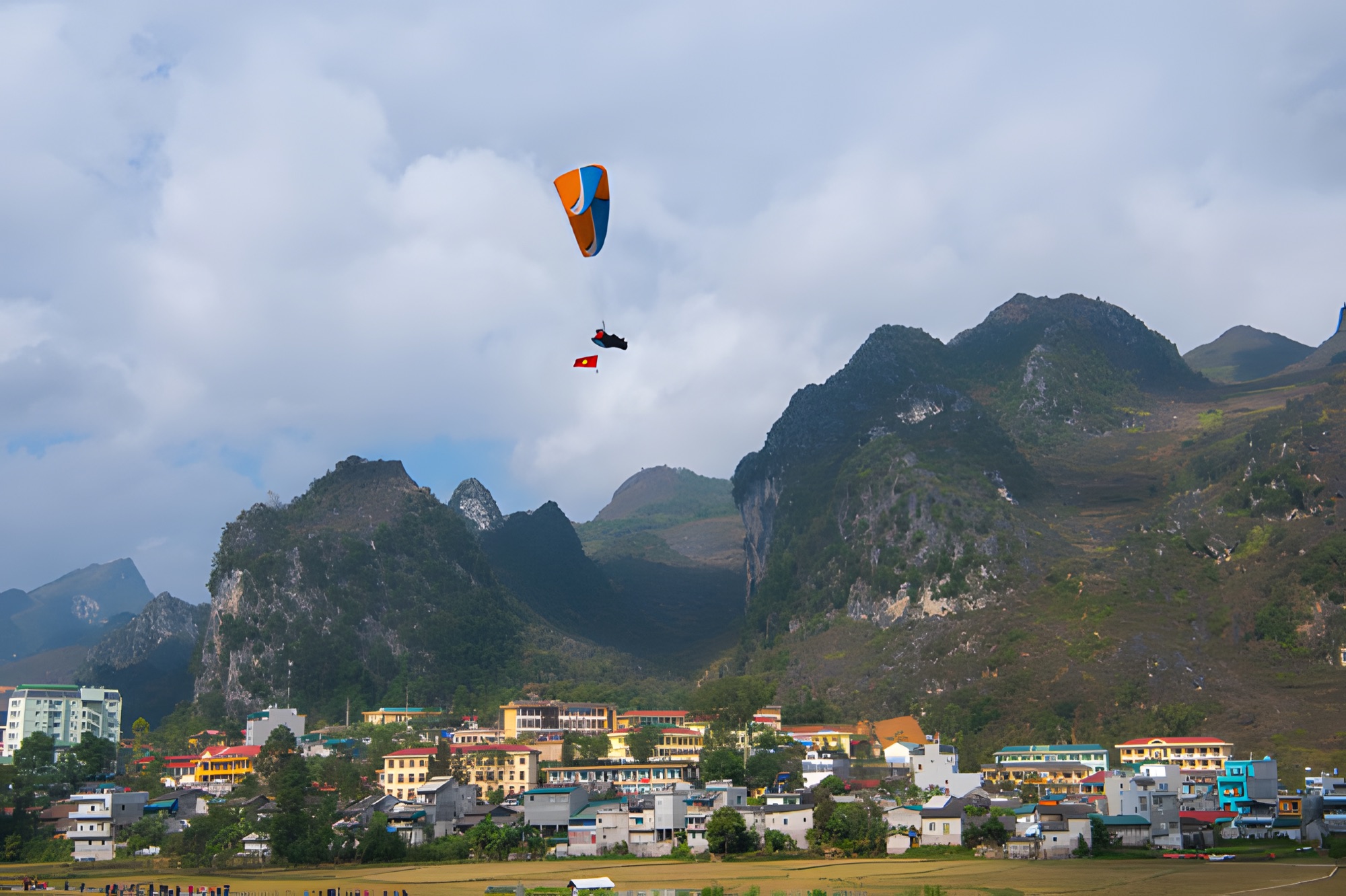
On the same leg, about 24 km before the forest via the new road, is Quản Bạ (around Km45 of the Loop), home to Quản Bạ Heaven Gate and the Fairy Twin Mountains. Here the Mebayluon flying team flies tandem paragliders and paramotors every day from 06:30 to 18:30, over the Fairy Twin Mountains, Quản Bạ Heaven Gate and the Miện River. A standard 9–15-minute paragliding flight (depending on the wind) costs 2,290,000 VND per guest (≈ US$ 91), including GoPro video and insurance; no experience needed. See the Quản Bạ flying site or paragliding in Hà Giang, and check the flying weather forecast before your trip.
Pilot and guest on a tandem paraglider above the Miện River, Quản Bạ
FAQ
Is there an entrance fee for the Yên Minh pine forest?
No. The forest lines both sides of QL4C, with no gate or ticket booth.
How far is the pine forest from Yên Minh town?
About 7–8 km along QL4C towards Quản Bạ. From central Quản Bạ it's about 24 km on the new road, or about 40 km on QL4C.
Does the new Cán Tỷ – Yên Minh road pass the pine forest?
Yes. The pines start about 1 km after the new road rejoins QL4C.
What time should I stop at the pine forest?
Early morning while the mist is still there, or late afternoon in low sun. Midday is still pretty, just with harsher light.
Which commune is the pine forest in after the merger?
It lies around the boundary of the former Na Khê commune (now part of Bạch Đích commune) and Lao Và Chải (now part of Yên Minh commune), Tuyên Quang province.
Cover photo: Vuong Tri Binh, CC BY-SA 4.0, Wikimedia Commons
Book a flight:book online — no deposit, free cancellation
Bắc Sum Pass or Quản Bạ? A side-by-side look at the two flying sites on the QL4C near Hà Giang city: distance, landing field, valley width, paragliding and paramotor, a flying morning at Quản Bạ, getting there and fitting the flight into the Hà Giang Loop…
Quản Bạ or Đồng Văn? An honest comparison of our two flying sites on the Hà Giang Loop: location, getting there, scenery, paragliding vs paramotor, what a flying session looks like, wind and schedule, price, and how to fly both…
The Chín Khoanh slope is a stack of hairpin bends on QL4C between Phố Cáo and Sủng Là, about 18 km past Yên Minh and 27 km before Đồng Văn: why it's called "nine coils", the best viewpoint, how to stop safely, how it differs from Thẩm Mã and what to see nearby…
A practical guide to the Mã Pí Lèng Sky Path, the cliff-edge walking trail above the Nho Quế River: the trailhead at the Youth Volunteers monument, the route section by section, the death rock closure (October 2026), what to wear, when to go and how to pair it with a Tu Sản canyon boat trip…
A guide to Lô Lô Chải, the Lô Lô village at the foot of the Lũng Cú flag tower: rammed-earth houses, costume and bronze drums, Café Cực Bắc, homestays, the road from Đồng Văn, 2026–2027 traffic rules and village etiquette…
A guide to Pao's House in Lũng Cẩm cultural village, in the Sủng Là valley about 24 km from Đồng Văn: the Mua family's 1947 rammed-earth Hmong home, the film The Story of Pao, tickets, access from Road 4C, flower seasons and how to pair it with the Chín Khoanh bends and the Hmong King Palace…