Mã Pí Lèng Sky Path: the cliff-edge hike above the Nho Quế River — route, safety and latest status
A practical guide to the Mã Pí Lèng Sky Path, the cliff-edge walking trail above the Nho Quế River: the trailhead at the Youth Volunteers monument, the route section by section, the death rock closure (October 2026), what to wear, when to go and how to pair it with a Tu Sản canyon boat trip.
Ms. Judy · · 16 min read
The Mã Pí Lèng Sky Path (called "con đường độc đạo" in Vietnamese) is a free walking trail along the cliffs high above the Nho Quế River; it starts at the Happiness Road Youth Volunteers monument (about 7 km from the centre of Đồng Văn), takes about 2–3 hours end to end, and does not go down to the river.
Most travellers on Mã Pí Lèng pass stop at a few bends for photos and ride on. The Sky Path lets you walk slowly up high instead, with rock walls at your shoulder and the canyon opening beneath your feet. This guide explains where the trail starts, its current status (as of late October 2026), what to wear, when to go, and how to pair it with a boat trip on the Nho Quế.
Quick facts
Item
Details (for reference, may change)
Names
Sky Path, con đường độc đạo, cung đường chân mây; the best part leads to the White Cliff (Vách Đá Trắng)
Location
Mã Pí Lèng pass, Đồng Văn commune (now part of Tuyên Quang province)
Trailhead
Youth Volunteers monument, Séo Sả Lủng hamlet, on QL4C (approx. 23.2495 N, 105.3943 E)
Keep reading
Length
About 5–6 km if you walk all the way down to the pass road on the Mèo Vạc side
Time
About 2–3 hours, depending on pace and stops
Fee
Free to walk (no fee reported)
Transport
On foot only — no motorbikes on the trail
October 2026 note
The "death rock" outcrop is closed to visitors and fenced off
Skip it when
It's raining, foggy or very windy; or if you are badly afraid of heights
What is the Sky Path, and where is it?
Mã Pí Lèng pass is about 20 km long and tops out at roughly 1,200 m, linking Đồng Văn with Mèo Vạc. It is the hardest stretch of the Happiness Road, the roughly 185 km route that youth volunteers and labourers carved out between 1959 and 1965. On the Mã Pí Lèng section alone, the road builders hung from the cliffs for 11 months. In 2009 Mã Pí Lèng was listed as a national scenic monument.
The Sky Path is not the highway. It is a footpath that runs higher than the pass road, along the mountainside and its limestone walls, looking down into the Nho Quế gorge. Vietnamese visitors call it "con đường độc đạo" (the single path) or "cung đường chân mây" (the road at the foot of the clouds); foreign travellers call it the Sky Path. Its highlight is the White Cliff (Vách Đá Trắng, also called vách đá thần) — a band of pale limestone with a large rock hollow that looks straight down onto the river.
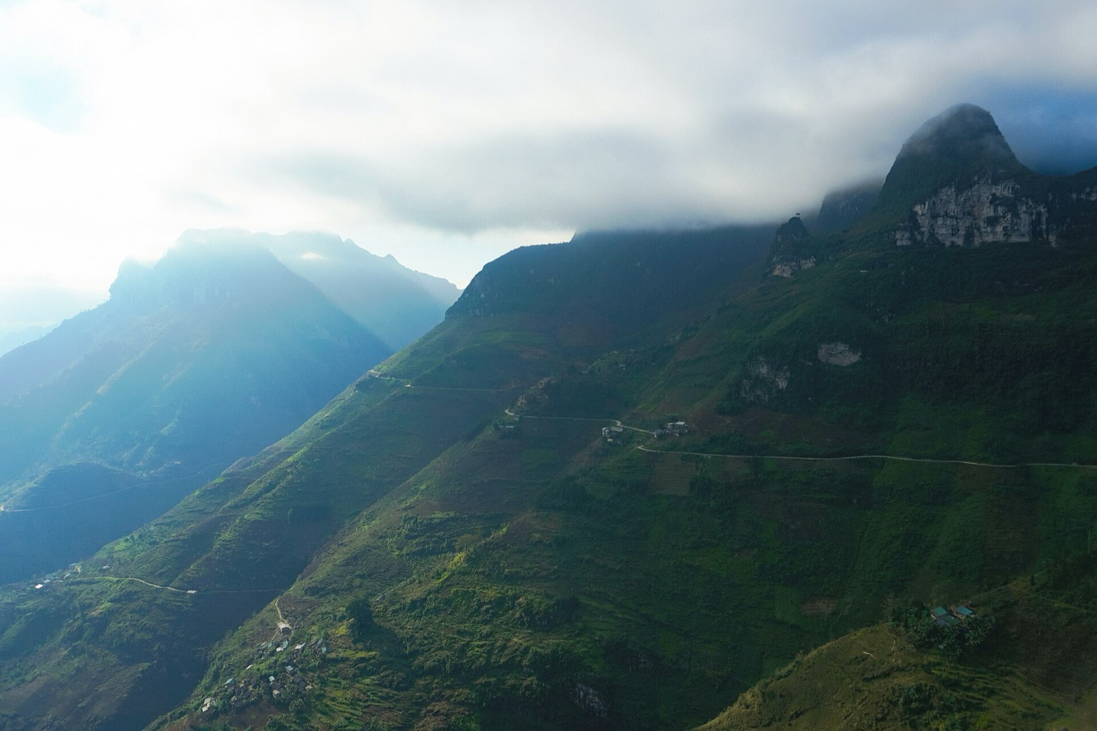
The Mã Pí Lèng mountainside with the pass road cutting across it and white limestone cliffs above (2022) — Photo: NKSTTSSHNVN, CC BY-SA 4.0, Wikimedia Commons
Three common mix-ups:
The Sky Path does not go down to the Nho Quế River or to the boat dock. For the boat, you continue by road (see the itinerary section below).
The Sky Path is not the Mã Pí Lèng Panorama building. Panorama is a café–hotel beside the pass road with a viewing spot; it is a separate stop.
The Sky Path is not the "death rock". The outcrop is just one point near the start of the trail, and it is currently closed.
Trailhead: the Youth Volunteers monument
From the centre of Đồng Văn (around Km150 of the Hà Giang Loop), follow QL4C towards Mèo Vạc for about 7 km to reach the monument area in Séo Sả Lủng hamlet. According to reports in early August 2026, the Tuyên Quang provincial People's Committee has officially recognised the "Youth Volunteers Monument Complex of the Happiness Road" as a tourist site. In 2025, before that recognition, it already received more than 12,000 visitors.
What you'll find there:
A 16 m monument carved from natural stone.
The "Memories of the Happiness Road" exhibition house — worth 20–30 minutes before you start walking.
A memorial stele for 14 youth volunteers who died building the road, and a mountain-spirit shrine (miếu Sơn Thần).
Parking and kiosks selling drinks and local products.
Park in the car park and buy enough water before you set off — there is almost nowhere to buy anything on the trail.
Which sections do you walk?
The full route runs one way: from the monument along the mountainside to the White Cliff, then down to rejoin QL4C on a lower part of the pass, on the Mèo Vạc side. Sources give different lengths, from about 3 km (the footpath alone) to 5–6 km (the whole route), so plan on about 2–3 hours.
Section 1: the concrete lane towards the death rock
The first part is a narrow concrete lane about 1.5 km long, heading towards the "death rock" (mỏm đá tử thần, also known as the "selfie rock"). It's the easiest stretch, but the lane is narrow, with rock on one side and a steep drop on the other.
Current status: the Đồng Văn commune People's Committee suspended visits to the outcrop from 1 July 2026 "until further notice" to repair the infrastructure and bring safety up to standard. From around 10 October 2026, the commune put up an iron fence about 2 m high and warning signs blocking the way up to the rock, after cracks appeared in it and raised the risk of a collapse. The outcrop will only reopen once the authorities confirm it is safe. Earlier, in September 2025, the stretch from the monument up to the rock had already been closed for just over a week to install railings and stone walls. People have been injured here while going out on the rock for photos (in 2021 and 2023).
As of late October 2026, we found no notice closing the whole walking trail. However, the province is reviewing tourist spots that may be unsafe and does not want visitors making improvised check-ins at dangerous places, so the rules could change at any time. Ask at the monument or at your homestay in Đồng Văn before you go, and never climb over fences or ignore no-entry signs. If the path is blocked, turn back.
Section 2: the footpath to the White Cliff
Past the outcrop, the path leaves the concrete lane, squeezes through a small hamlet and corn fields, then becomes an earth-and-rock trail along the mountainside. Some steep sections have iron railings; many don't. The path forks often, and a wrong turn usually ends in a dead end — just go back to the last junction.
The White Cliff has a rock hollow about 3 m wide and 10 m long set into the wall. The hollow has no railing — sit well back inside rather than standing near the edge.
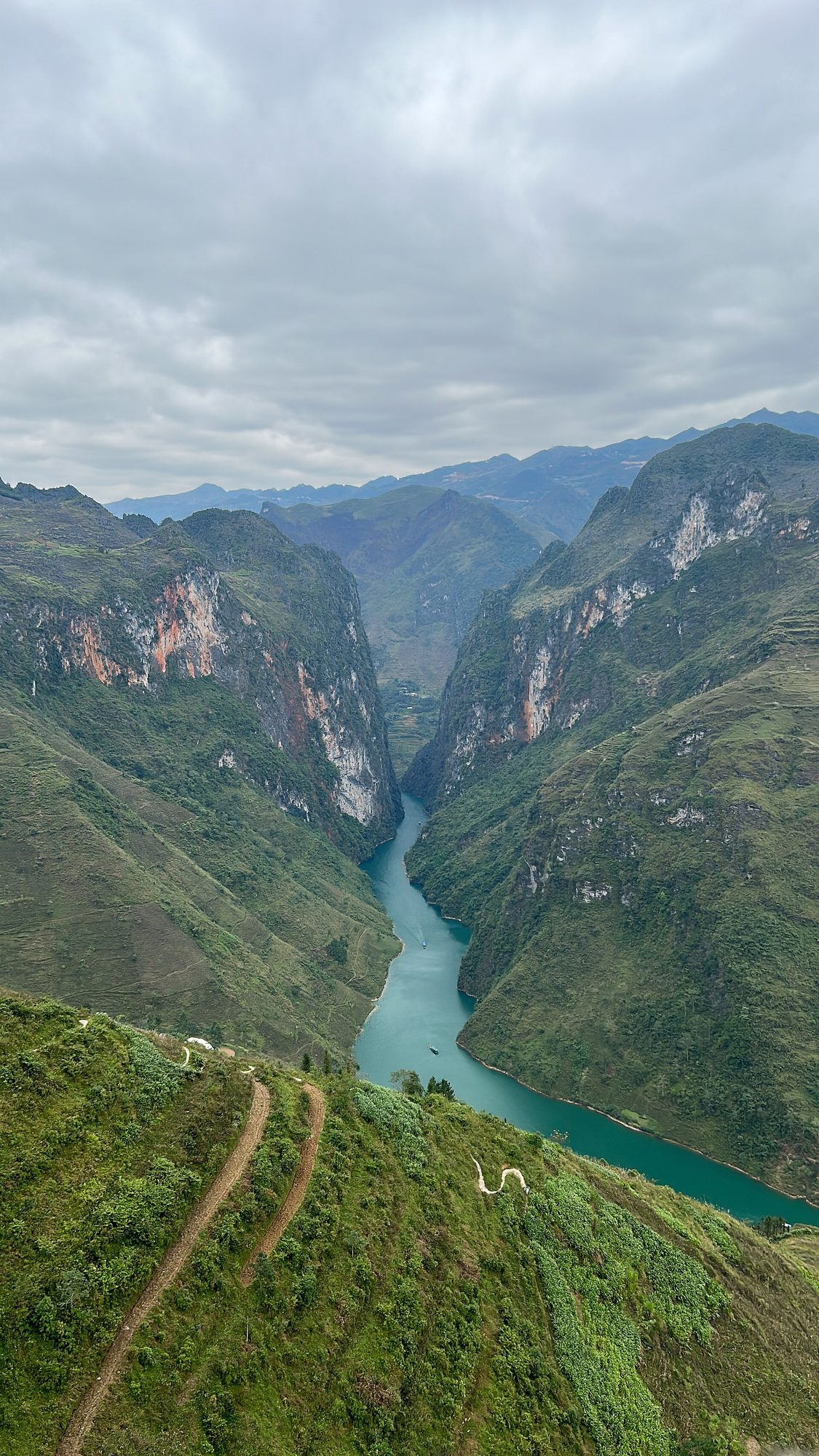
The Nho Quế gorge seen from Mã Pí Lèng pass — Photo: MapStaringEnthusiast, CC BY-SA 4.0, Wikimedia Commons
Section 3: back down to the pass road
From the White Cliff, the trail drops through a small village and comes out on QL4C on a lower part of the pass, on the Mèo Vạc side. The descent has lots of steps and is fairly steep, so save some energy for it.
One way or out and back?
One way: arrange for a driver or easy rider to meet you where the trail reaches QL4C. Don't walk back along the highway — it's narrow and busy.
Out and back: short on time? Walk part of the way, enjoy the view and return to the car park at the monument.
Some guides mention local motorbike taxis (xe ôm) that can shorten the walk; ask on the spot about routes and prices.
What will you see?
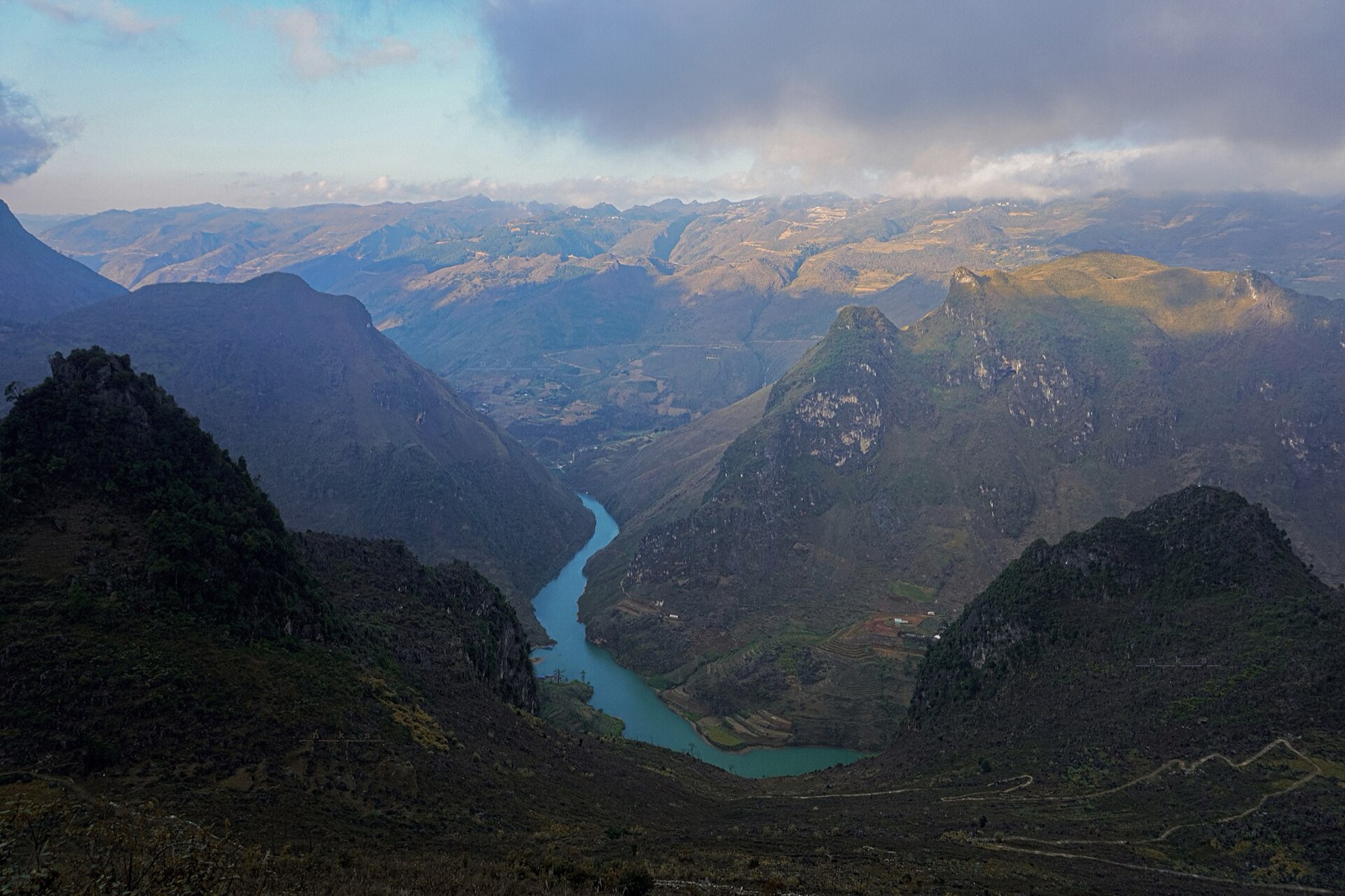
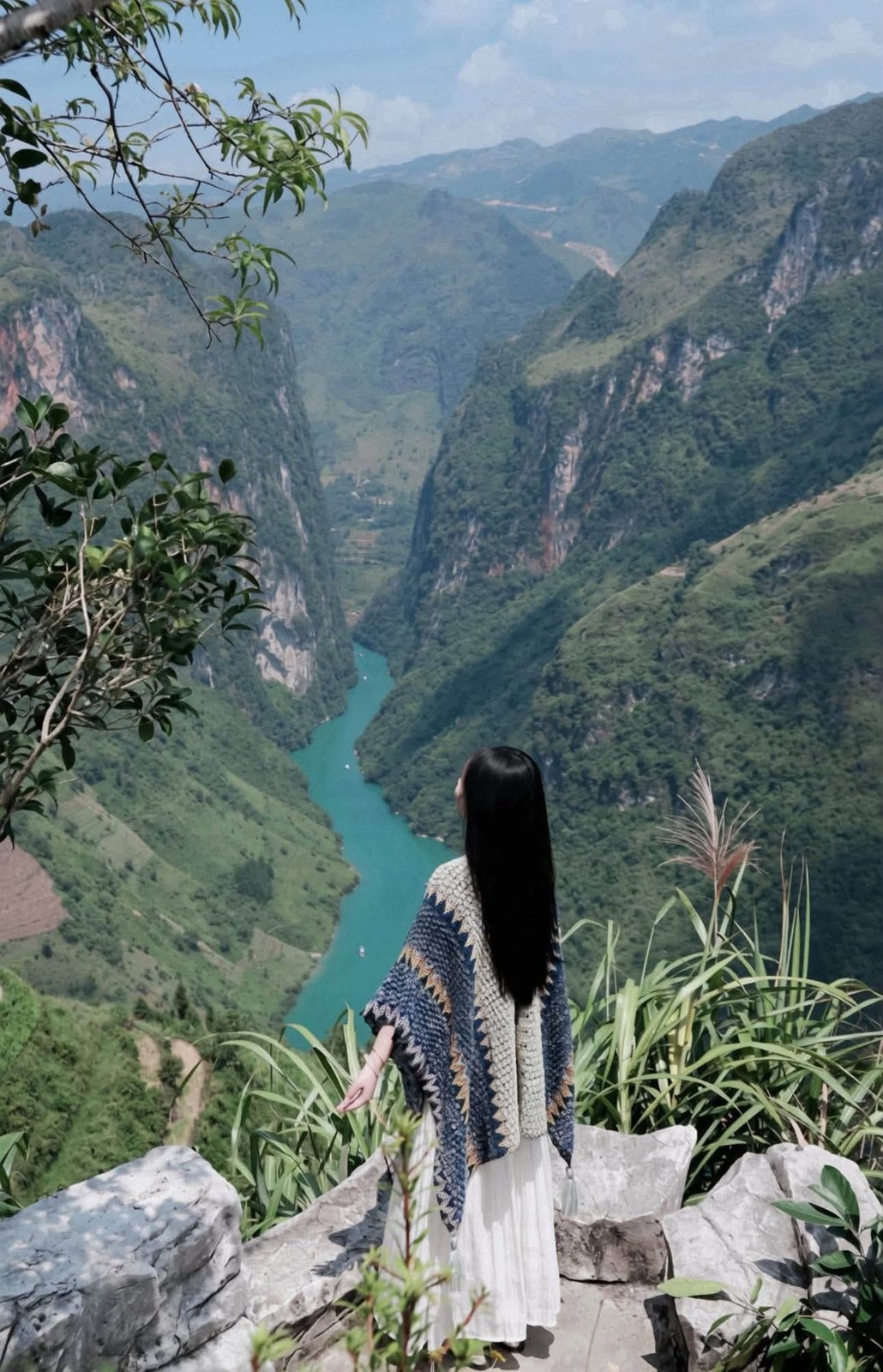
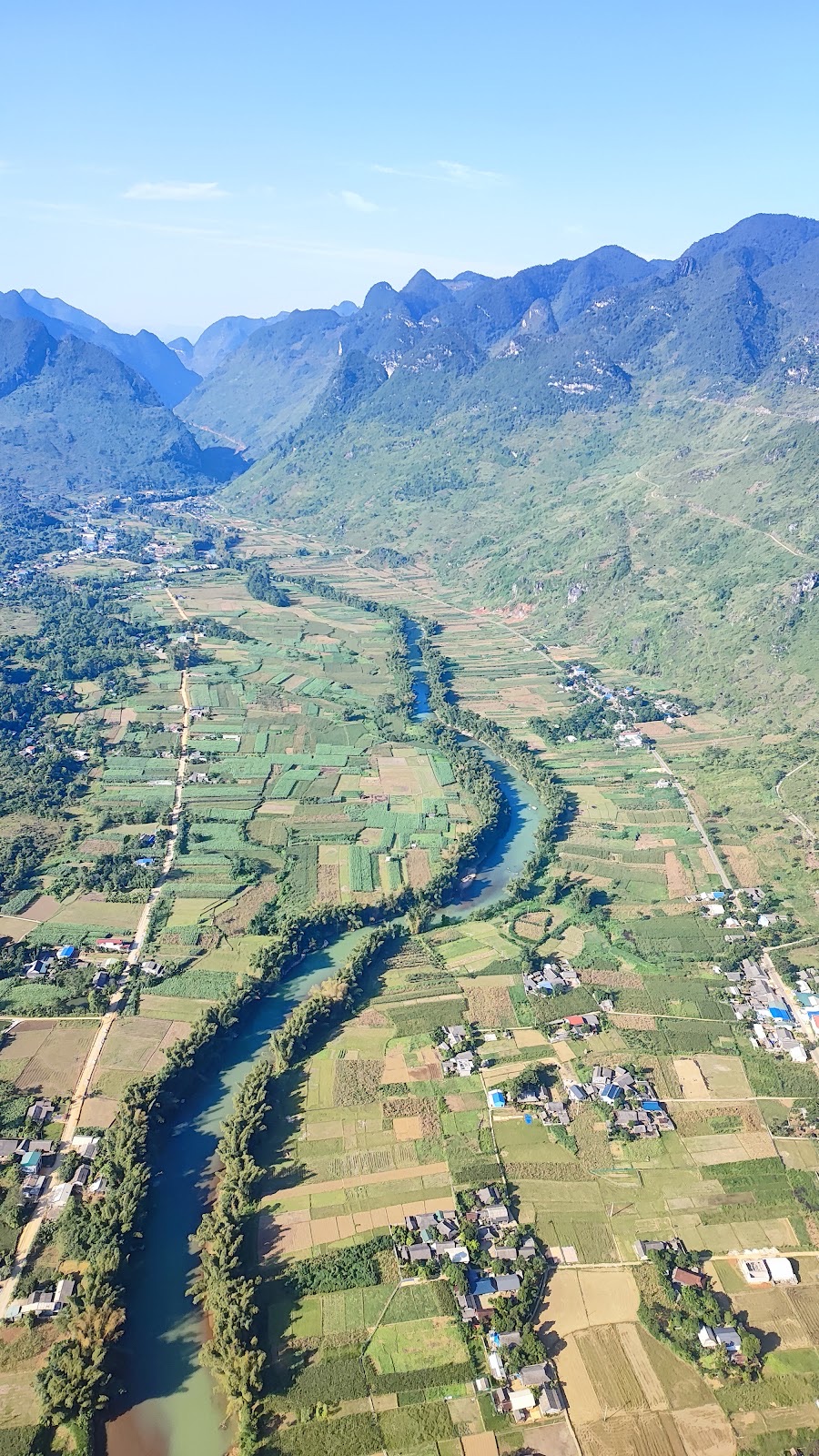
The reward is the view down onto the Nho Quế: a jade-green ribbon deep at the bottom of the Tu Sản canyon, framed by sheer rock walls. Below you the pass road twists along, corn fields cling to the slopes, Hmong houses sit tucked into small valleys, and further off spread the peaks of the Đồng Văn Rocky Plateau.
The jade-green Nho Quế River between limestone massifs, seen from high above (2022) — Photo: NKSTTSSHNVN, CC BY-SA 4.0, Wikimedia Commons
Photo tip: stop where the path is wide and plant your feet before you shoot; a wide-angle lens gets both the cliffs and the river without going near the edge.
What to wear and bring
Shoes: trainers with good grip or hiking shoes. No flip-flops or smooth soles.
Long trousers for grass and scrub; layers you can peel off on the climbs.
A windbreaker or jacket: the wind on the pass is cold. In November–December, mornings and evenings on the plateau are often just 5–15 °C.
Hat, sunscreen, sunglasses: many stretches have no shade.
A light rain jacket in case the weather turns.
Water (about 1–1.5 litres per person) and snacks, plus small banknotes.
A fully charged phone: signal is weak or absent in places, so download offline maps beforehand.
Safety: what to remember
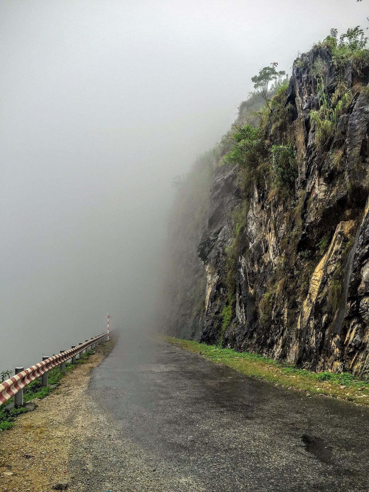
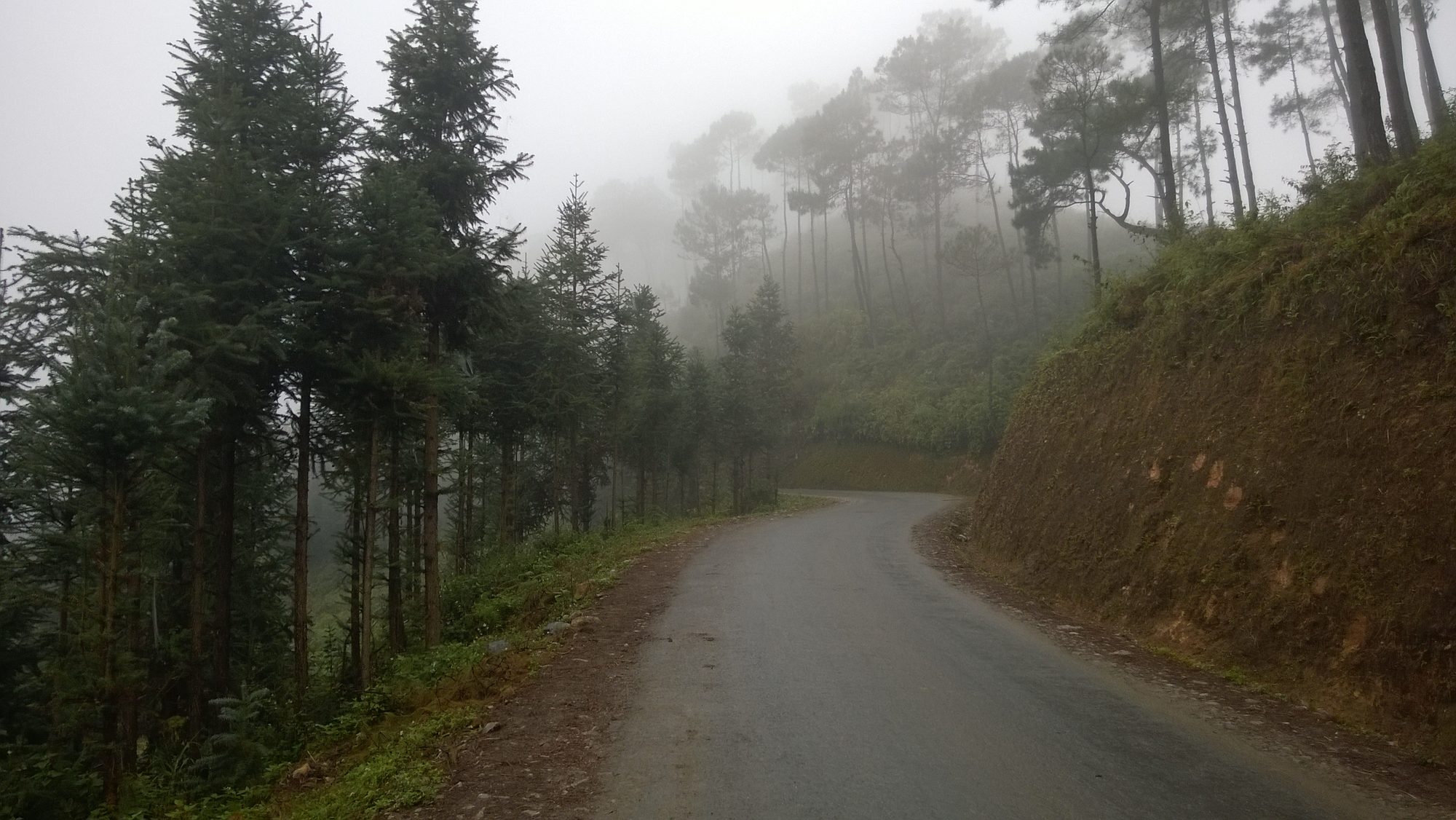
Fog swallowing the pass road beneath a rock wall on the Happiness Road (2015) — Photo: trungydang, CC BY 3.0, Wikimedia Commons
Don't go in rain, storms or thick fog. Rock and soil get slippery and landslides are possible; fog makes you lose your bearings and hides the view anyway.
Stay on the path and away from the edge. No posing on ledges, no sitting with your legs over the drop.
Respect fences and no-entry signs — ignoring them is exactly why the death rock was closed.
No motorbikes on the trail. It's walkers only now.
Go in a group, tell your homestay your plan, and start early so you're back before dark. In November–December the sun sets around 17:15–17:30.
Small children must hold an adult's hand near the drops; anyone with a strong fear of heights should stick to the first section.
When to go
Dry season, October–December: usually clearer skies and dry, less slippery ground. It's also buckwheat flower season (roughly October to early December). In 2026, the 12th Buckwheat Flower Festival opened on the evening of 25 October in Đồng Văn commune, with activities running until the end of December — see our buckwheat flower season guide.
March–May is another popular time to hike to the White Cliff.
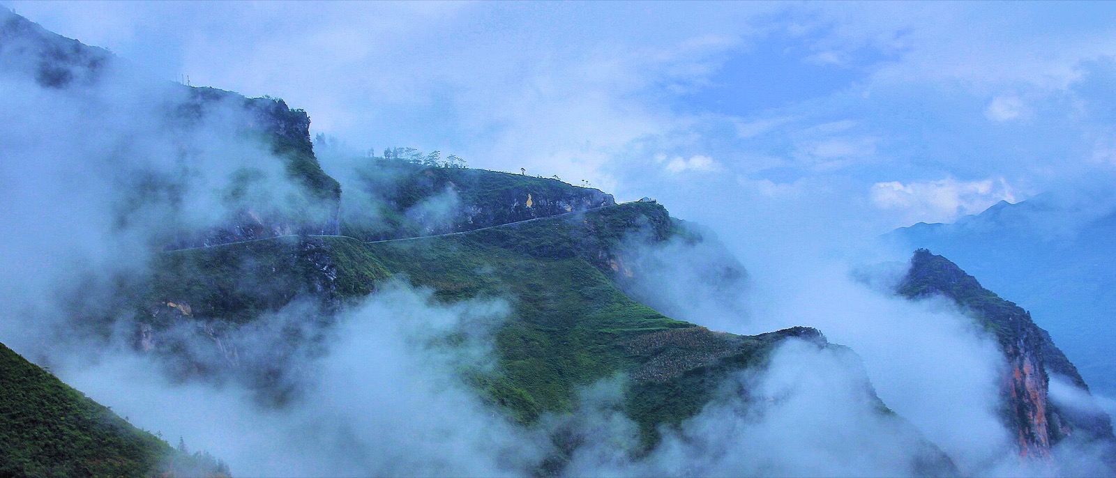
Time of day: early in the morning, clouds can fill the canyon — beautiful, but you won't see the river until they lift. Setting off around 7:30–8:30 works well and keeps you out of the harsh midday sun.
Clouds drifting around the slopes of Mã Pí Lèng pass (2013) — Photo: Khoitran1957, CC BY-SA 4.0, Wikimedia Commons
Other viewpoints on Mã Pí Lèng pass
No time to walk? You can still see the canyon from the pass itself:
Wide pull-outs along the pass road: free, 15–30 minutes is enough. Pick a spot with a wide shoulder and never stop on a blind bend.
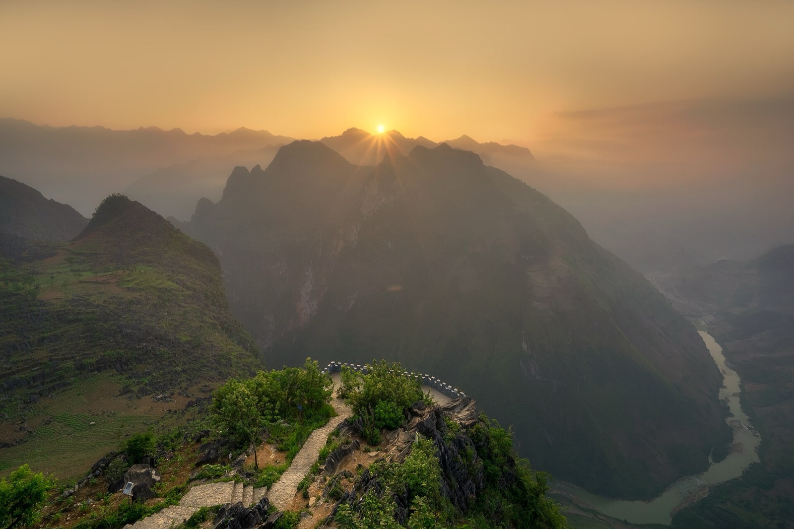
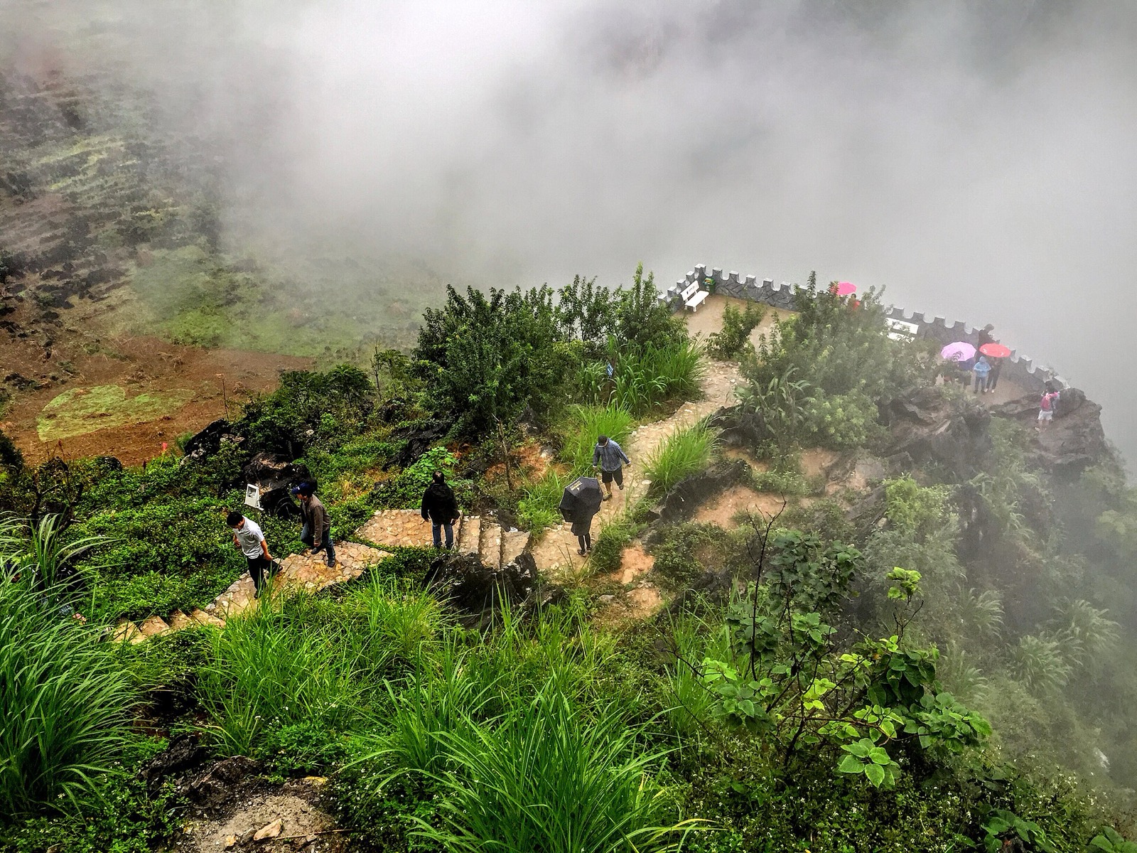
The walled viewpoint (photo below): stone steps lead out to a small terrace that juts over the drop. The photo dates from 2015 and things may have changed.
Mã Pí Lèng Panorama: a roadside café–hotel with a viewing spot; there may be an entry fee — ask on site.
Visitors on the stone path to a walled viewpoint on Mã Pí Lèng pass in the mist (2015) — Photo: trungydang, CC BY 3.0, Wikimedia Commons
The Sky Path shows you the river from above; the boat takes you into the heart of the canyon — the two complement each other. The current way down to the dock:
Continue on QL4C over the whole of Mã Pí Lèng pass to Pả Vi.
Turn left onto the road to Xín Cái and drive down to Tràng Hương bridge below the Nho Quế 1 hydropower dam, where you'll find the ticket office and parking.
Buy a ticket (about 150,000 VND per person ≈ US$ 6, July 2026 price) and ride the electric shuttle about 2–3 km to the dock on the Nho Quế 1 reservoir.
The old dock at Tà Làng was reported closed (August 2026). Life jackets are compulsory. The boat trip takes about 1 hour, including a stop of about 15 minutes inside the Tu Sản canyon. The ticket office opens roughly 7:00–18:30; aim to arrive before about 16:00. Full details in our Nho Quế boat trip through Tu Sản canyon guide and on the Nho Quế River page.
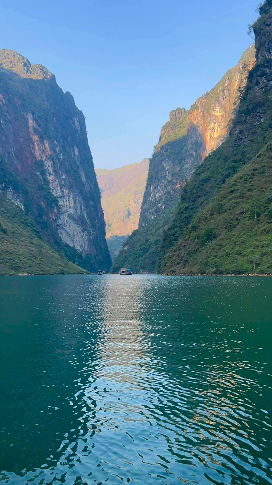
Tu Sản canyon seen from the surface of the Nho Quế River, with boats in the distance (2022) — Photo: NKSTTSSHNVN, CC BY-SA 4.0, Wikimedia Commons
A suggested Đồng Văn – Mèo Vạc day
Morning: leave Đồng Văn early, visit the exhibition house at the monument and walk the Sky Path for about 2–3 hours.
Midday: get picked up at the end of the trail, continue towards Pả Vi and stop for lunch.
Afternoon: take the Nho Quế boat (be at the ticket office before 16:00), then spend the night in Mèo Vạc.
With only half a day, pick one of the two and enjoy the river from the viewpoints on the pass. Not confident on mountain roads? Ride with an easy rider. Before or after this stage, you can stop at Đồng Văn old quarter, Pả Vi Hạ village, or the Mèo Vạc market if you're there on a Sunday morning.
A viewpoint on the Mã Pí Lèng pass above the jade-green Nho Quế river between the cliffs; always keep well back from the edge
Trail etiquette
The trail passes through Hmong hamlets and fields: stay on the path and don't trample crops.
Ask before photographing people; don't take close-ups of children without permission, and don't hand out sweets.
Carry all your rubbish out; keep the noise down near houses.
Planning to camp at the White Cliff? Ask the commune authorities or the tourist-site management first, as informal spots are under review.
Another view from above: paragliding in Quản Bạ
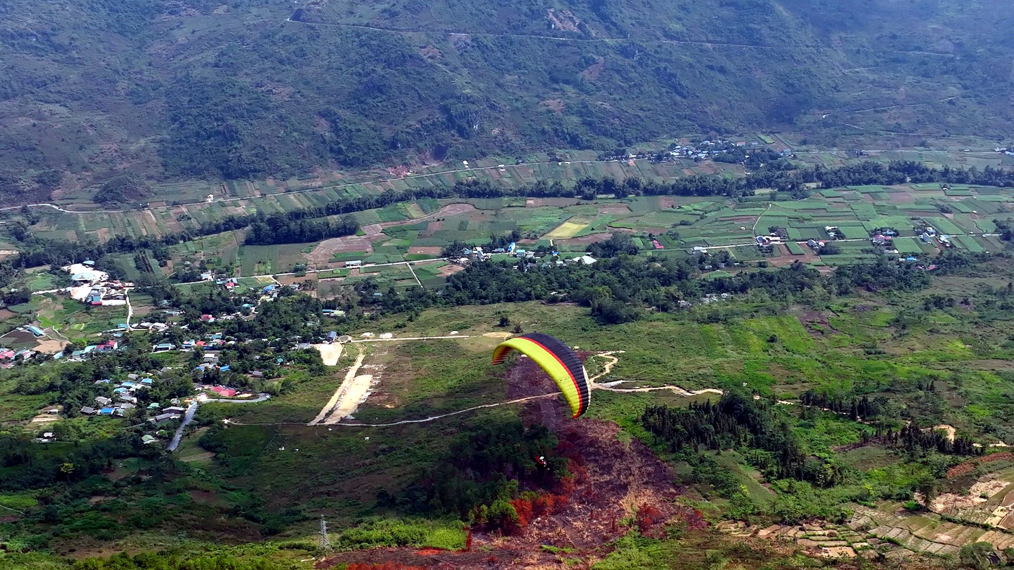
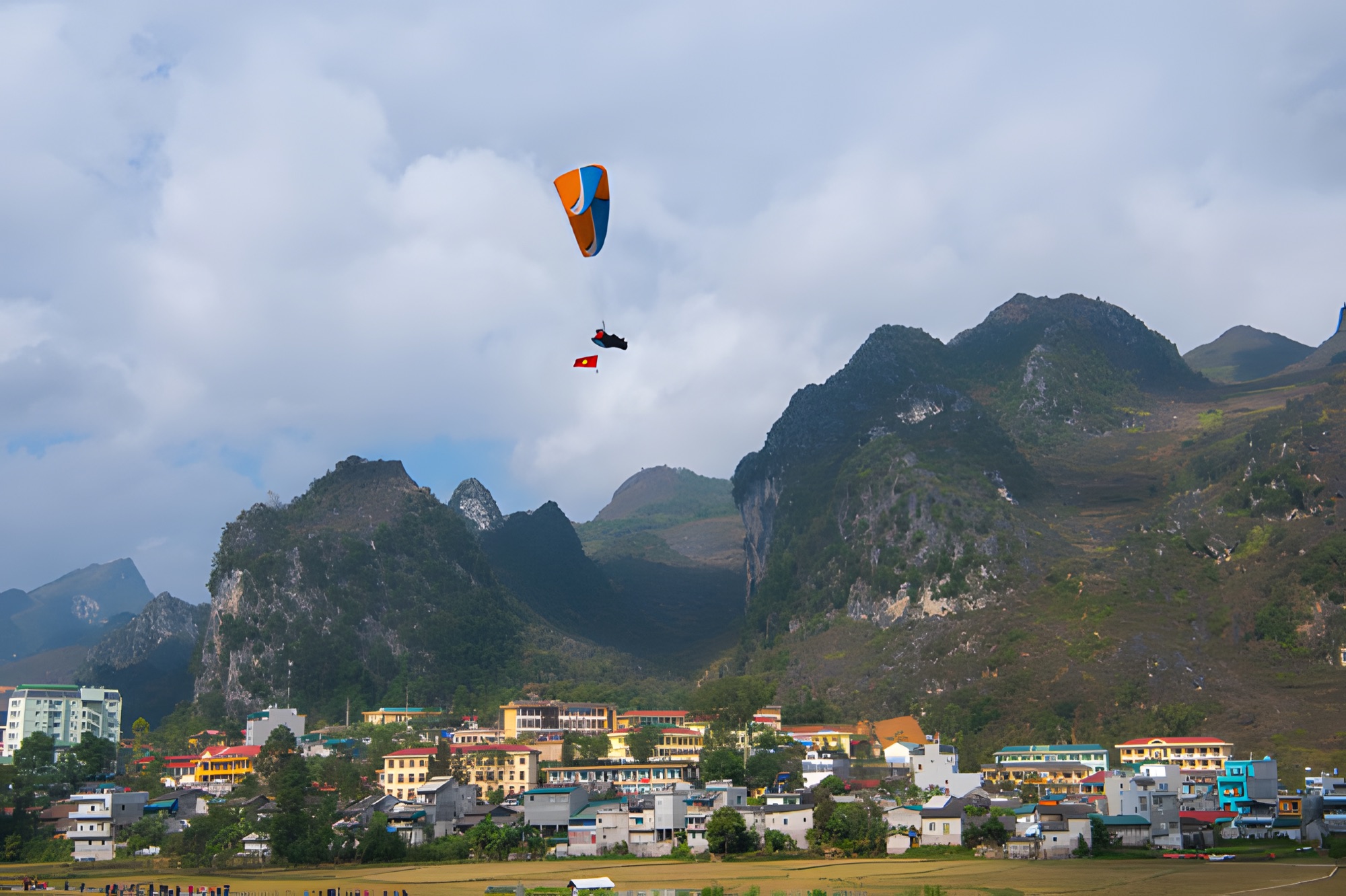
If you ride the Loop in the usual direction, on day 1 you pass Quản Bạ at about Km45. There, the Mebayluon flying team runs paragliding and paramotor flights daily from 06:30 to 18:30 over the Fairy Twin Mountains and the Miện river valley — a very different view of the plateau from the one you get on the trail. See the Quản Bạ flying site or our Hà Giang paragliding guide.
Frequently asked questions
Is there a fee for the Mã Pí Lèng Sky Path?
No. Walking the trail is currently free, and we found no reports of a fee. The monument area has just been recognised as a tourist site, so rules may change — check on the spot.
How long is the Sky Path, and how long does it take?
One way from the monument down to the pass road on the Mèo Vạc side is about 5–6 km and takes about 2–3 hours. The first stretch to the death rock area is about 1.5 km.
Is the Sky Path closed or banned?
As of late October 2026, the death rock outcrop is closed to visitors (since 1 July 2026) and has an iron fence and warning signs. We found no notice closing the whole walking trail, but this can change: ask at the monument before you go and never climb over a fence.
Can I ride a motorbike on the Sky Path?
You shouldn't. The trail is now for walkers only; it's narrow, right on the edge of the drop, and people have been hurt in this area.
Does the Sky Path go down to the Nho Quế River or the boat dock?
No. The Sky Path stays high along the cliffs. For the boat, continue on QL4C to Pả Vi, take the Xín Cái road and go down to Tràng Hương bridge.
Cover photo: Hoach Le Dinh, CC0, Wikimedia Commons
Book a flight:book online — no deposit, free cancellation
Bắc Sum Pass or Quản Bạ? A side-by-side look at the two flying sites on the QL4C near Hà Giang city: distance, landing field, valley width, paragliding and paramotor, a flying morning at Quản Bạ, getting there and fitting the flight into the Hà Giang Loop…
Quản Bạ or Đồng Văn? An honest comparison of our two flying sites on the Hà Giang Loop: location, getting there, scenery, paragliding vs paramotor, what a flying session looks like, wind and schedule, price, and how to fly both…
The Chín Khoanh slope is a stack of hairpin bends on QL4C between Phố Cáo and Sủng Là, about 18 km past Yên Minh and 27 km before Đồng Văn: why it's called "nine coils", the best viewpoint, how to stop safely, how it differs from Thẩm Mã and what to see nearby…
A guide to Lô Lô Chải, the Lô Lô village at the foot of the Lũng Cú flag tower: rammed-earth houses, costume and bronze drums, Café Cực Bắc, homestays, the road from Đồng Văn, 2026–2027 traffic rules and village etiquette…
The Yên Minh pine forest lines Highway 4C about 7–8 km before Yên Minh town on the Quản Bạ side: exact location, commune after the 2025 merger, best light, how to stop safely, what's nearby and how to fit it into a 3- or 4-day Loop…
A guide to Pao's House in Lũng Cẩm cultural village, in the Sủng Là valley about 24 km from Đồng Văn: the Mua family's 1947 rammed-earth Hmong home, the film The Story of Pao, tickets, access from Road 4C, flower seasons and how to pair it with the Chín Khoanh bends and the Hmong King Palace…