Chín Khoanh Slope, Hà Giang: where it is, the best viewpoint and how it differs from Thẩm Mã
The Chín Khoanh slope is a stack of hairpin bends on QL4C between Phố Cáo and Sủng Là, about 18 km past Yên Minh and 27 km before Đồng Văn: why it's called "nine coils", the best viewpoint, how to stop safely, how it differs from Thẩm Mã and what to see nearby.
Ms. Judy · · 15 min read
The Chín Khoanh slope is a stack of hairpin bends on Highway QL4C that climbs from the Phố Cáo valley towards the Sủng Là valley, about 18 km past Yên Minh town and about 27 km before Đồng Văn old quarter. The best viewpoint is the wide roadside spot near the top of the bends, looking back down on the coils of road.
Many riders pass through without knowing its name, or mix it up with the Thẩm Mã slope a few kilometres earlier. This guide explains exactly where the slope is, why it is called "nine coils", where to stop safely, and what to combine it with on the Yên Minh – Đồng Văn leg.
Quick facts
Item
Details (approximate)
Names
Dốc Chín Khoanh / đèo Chín Khoanh; in English often Chin Khoanh Pass or Nine Ramps
Location
QL4C between Phố Cáo and Sủng Là; today between Phố Bảng and Sà Phìn communes, Tuyên Quang province
Coordinates
About 23.209 N, 105.196 E (mid-slope)
On the Loop
About 120–127 km from Hà Giang city
Distances
Keep reading
About 7 km after the Thẩm Mã slope, 3.5 km before Pao's House
Elevation
From about 1,200 m to 1,350 m (estimated from topographic data)
Ticket
None; some roadside flower fields charge a small photo fee
Time to stop
15–30 minutes
Where is the Chín Khoanh slope?
Riding the Loop in the usual direction (Hà Giang city → Quản Bạ → Yên Minh → Đồng Văn), you meet these places on QL4C in this order:
Yên Minh town, after which the road climbs onto the Rocky Plateau.
The Thẩm Mã slope, with its well-known viewpoint.
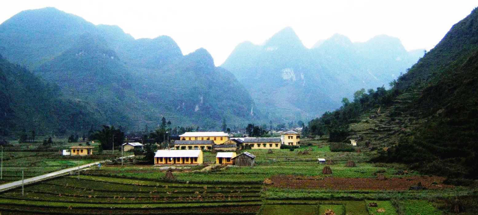
The Phố Cáo valley: corn fields, rammed-earth houses and a market right by the highway.
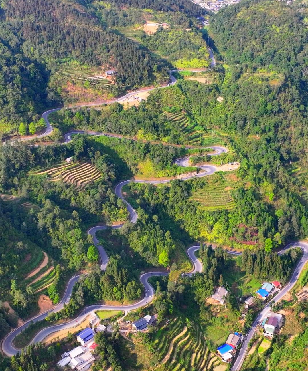
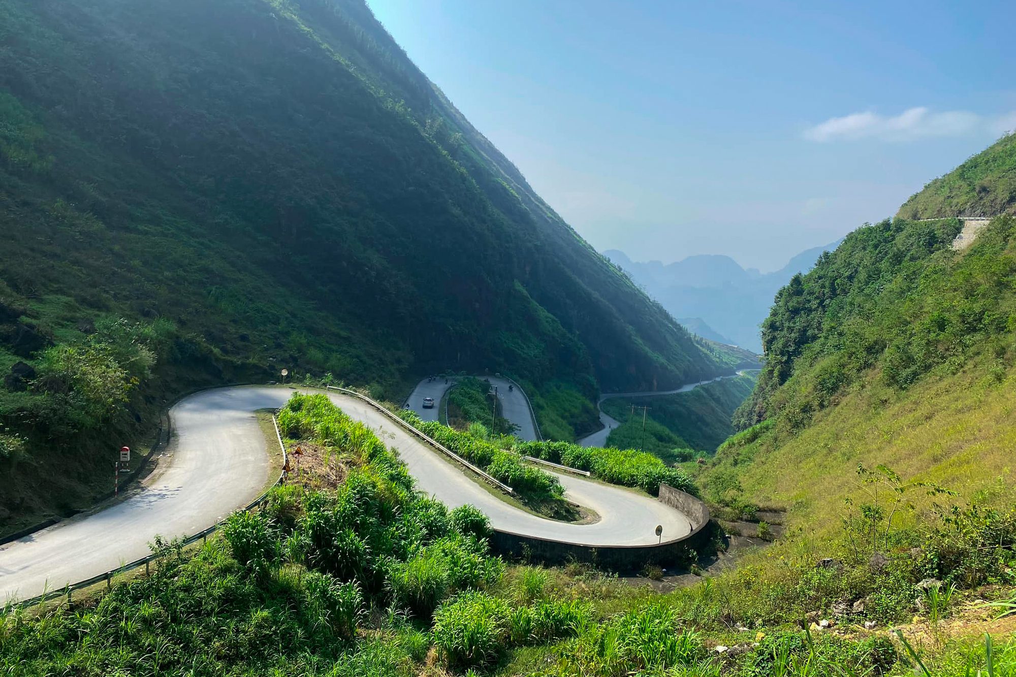
The Chín Khoanh slope: the road leaves the valley floor and coils up a single hillside in a chain of bends.
The top of the pass, then the descent into the Sủng Là valley with Lũng Cẩm village and Pao's House.
Sà Phìn (the Hmong King Palace), then Đồng Văn old quarter.
The slope is on the main road itself. Since 1 July 2025, Hà Giang has been merged into Tuyên Quang province; Phố Cáo is now part of Phố Bảng commune and Sủng Là part of Sà Phìn commune. Locals still use the old names, so asking for "dốc Chín Khoanh, the road up to Sủng Là" works everywhere.
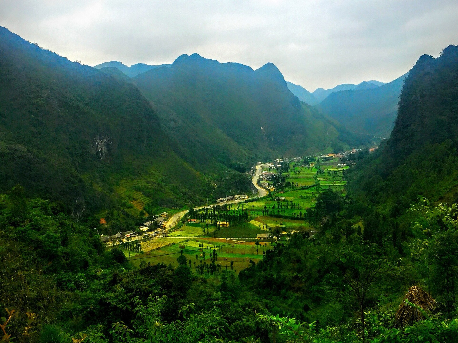
The Phố Cáo valley, which you cross before climbing the Chín Khoanh slope (centre of the former Phố Cáo commune, 2006) — Photo: BacLuong at Vietnamese Wikipedia, public domain, Wikimedia Commons
Why "Chín Khoanh"?
A "khoanh" is a coil, like a coil of rope, and "chín khoanh" means nine coils: a folk name for a road that winds up the hillside, one bend stacked on the next. Some guides count exactly nine bends, five of them tight. In practice the number depends on how you count, so don't be surprised if you get a different total.
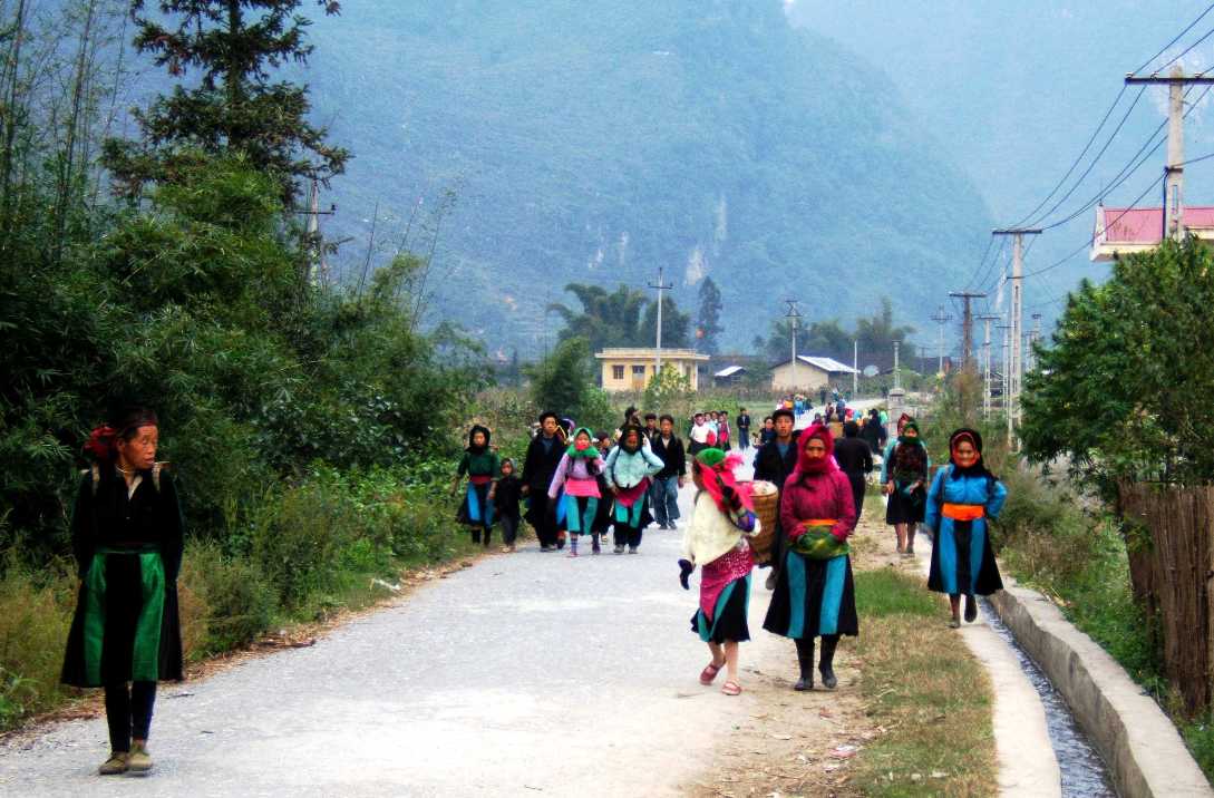
Locals also tell a light-hearted story: in the old days, a young man and woman who walked back from Phố Cáo market and climbed every coil of the slope together were bound to marry. Now and then you will see couples stopping here for photos.
Local people walking to Phố Cáo market (2005) — Photo: BacLuong at Vietnamese Wikipedia, public domain, Wikimedia Commons
Chín Khoanh vs Thẩm Mã: two different slopes
This is where most people get confused. Some travel articles call the Thẩm Mã slope the "nine-bend pass", because Thẩm Mã is about 5 km long and also has nine bends. As a result, photos on maps and social media are often labelled with the wrong name. This guide covers the stretch of QL4C between Phố Cáo and Sủng Là, which digital maps and most local guides mark as the Chín Khoanh slope.
Thẩm Mã slope
Chín Khoanh slope
Location
From the Yên Minh side up to Phố Cáo
From Phố Cáo up to Sủng Là
Coming from Yên Minh
First
Second, about 7 km later
Name
"Testing the horse": a packhorse that still had strength at the top was a good one
"Nine coils": bends winding up the hillside
Stopping
Well-known viewpoint, often busy
No viewing platform; stop at a wide spot by the road
Thẩm Mã is more famous, but the two slopes are less than 20 minutes apart by road, so it is easy to see both. Read our separate guide to the Thẩm Mã slope.
This is the Thẩm Mã slope, not Chín Khoanh: the two are about 7 km apart on QL4C — Photo: NKSTTSSHNVN, CC BY-SA 4.0, Wikimedia Commons
On the slope: what you will see
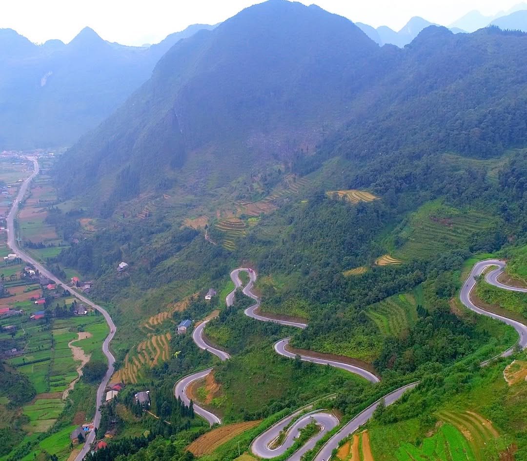
Leaving the Phố Cáo valley, the road clings to the hillside and doubles back again and again. According to topographic data, you gain roughly 150 m of height in about 2 km of road. Because the bends are packed onto one slope, from the upper turns you see the road you have just ridden stacked in layers below you, and further away the floor of the Phố Cáo valley with its corn fields and roofs.
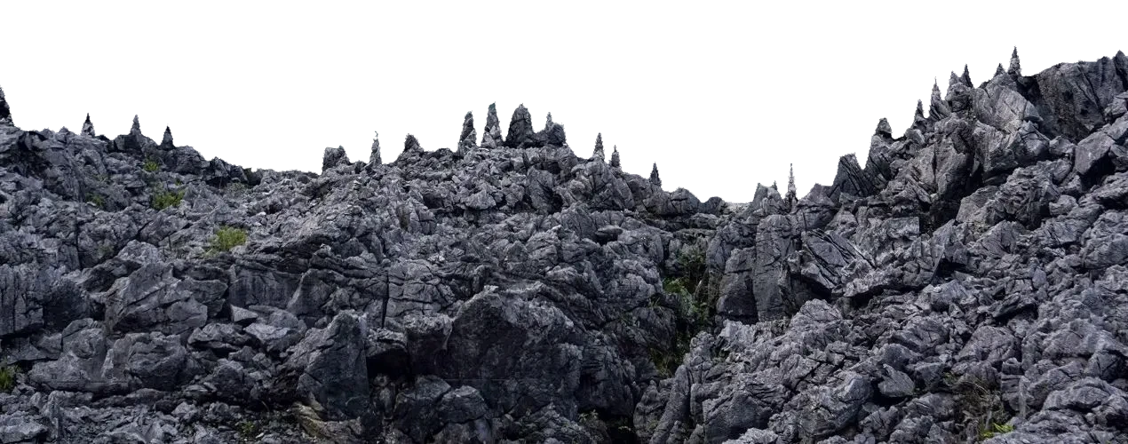
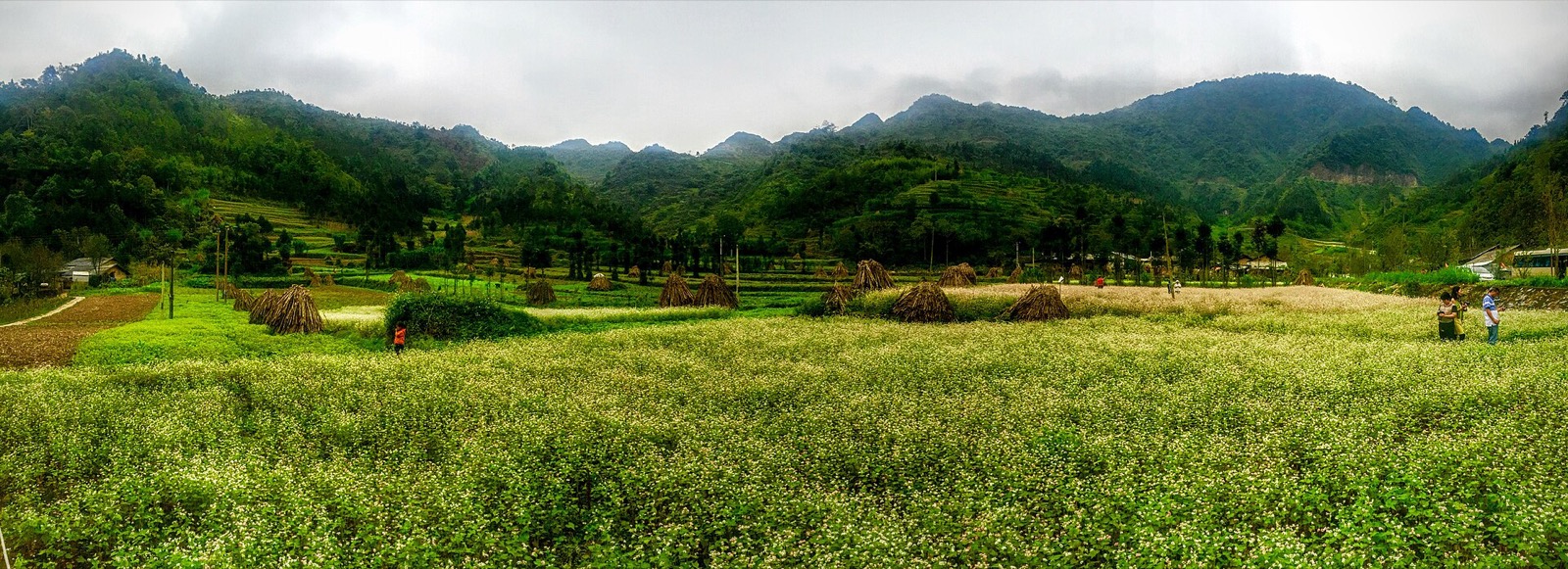
Both sides of the road show the typical scenery of the Đồng Văn Rocky Plateau (a UNESCO Global Geopark): grey limestone sticking out of the fields, corn planted in every pocket of soil, dry-stone walls around the houses. In flower season, a few plots beside the slope are planted with buckwheat by Hmong families, with a simple wooden fence so visitors can step in for photos.
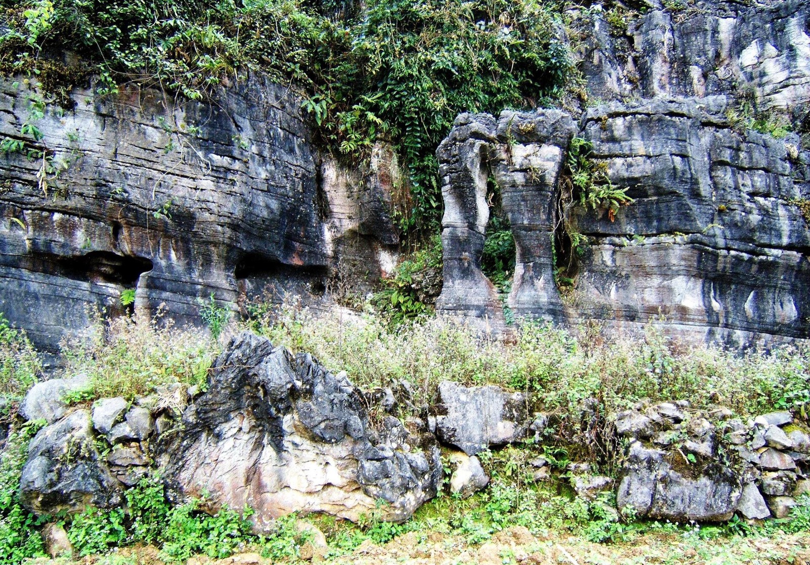
Water-eroded limestone in the Phố Cáo area, the kind of landscape you see along this whole stretch — Photo: BacLuong at Vietnamese Wikipedia, public domain, Wikimedia Commons
The best viewpoints
Unlike Thẩm Mã or Mã Pí Lèng, the Chín Khoanh slope has no official viewing platform or car park. Two places are worth a stop.
Near the top of the bends. Towards the top of the slope there is a wide patch of ground by the road and a small drinks stall with a few plastic chairs. It is the easiest place to stop, and from here you look back down over the bends you have just climbed. Roadside trees can block part of the view, so park at the wide spot and walk a few minutes along the edge of the road to find a gap. The classic shot is taken from above, showing several layers of road on top of one another.
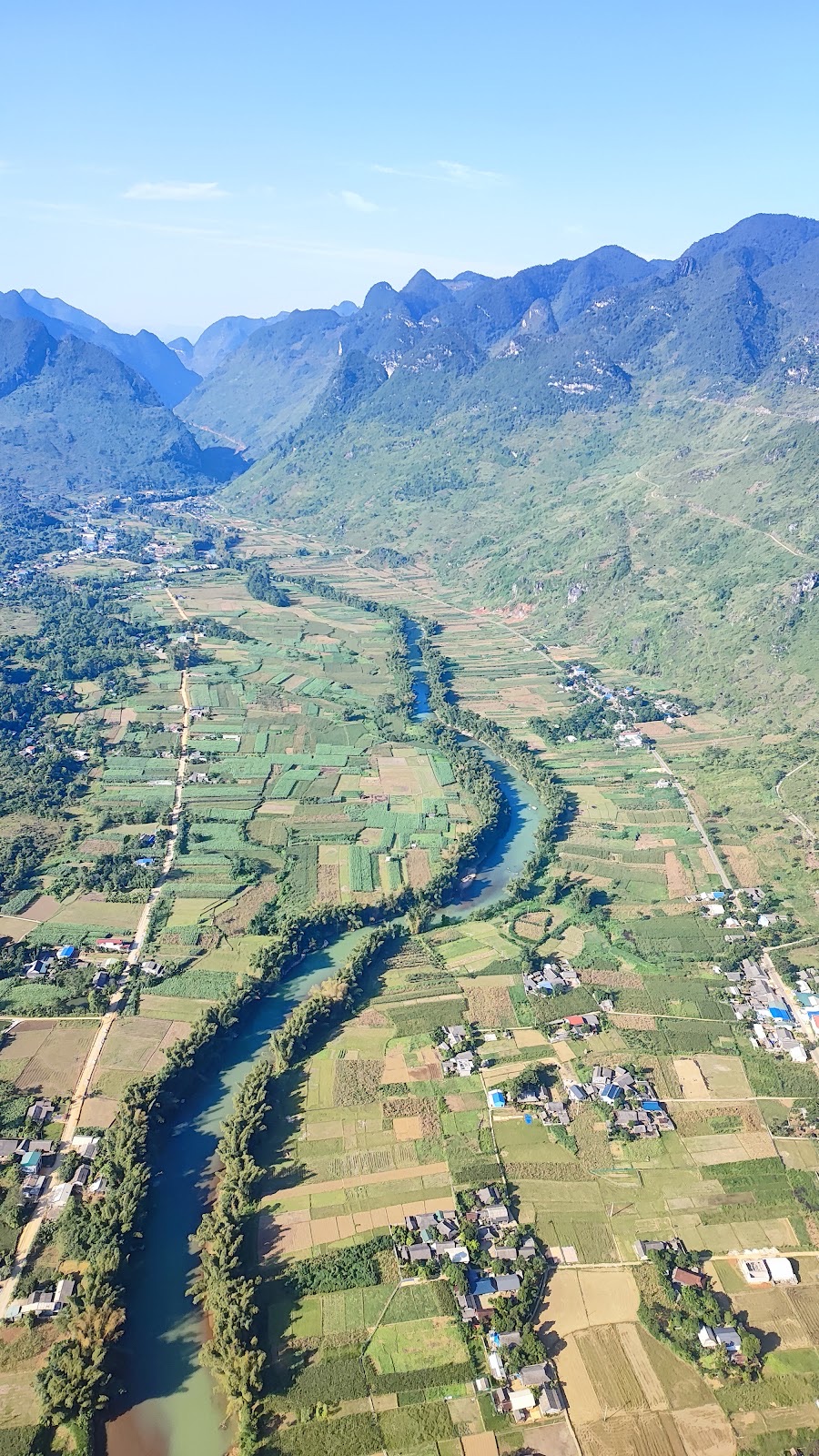
The top of the pass above Sủng Là. About 2 km further on, the road reaches the crest and starts dropping into Sủng Là. From here you look straight down a long, narrow valley: green fields, rows of trees and roofs along the road between two mountain walls. This is the view in the cover photo of this article.
When you stop, pull fully off the road at a wide spot, never right on a bend. Don't stand in the middle of the road to take photos: trucks and coaches swing wide on the hairpins. If you fly a drone, stand off the road and don't fly low over vehicles or people.
The Chín Khoanh slope from above: hairpin after hairpin on a terraced mountainside, with a flat valley floor on the left
Photo tips
Light: morning or late afternoon gives softer light; avoid the harsh midday sun. Early mornings often bring fog that hides the bends; it usually lifts as the sun comes up.
Lens: a zoom (telephoto) "compresses" the layers of bends together; use a wide angle to take in the whole valley.
Flower fields: ask the owner before you go in. Some guides mention a fee of about 10,000–20,000 VND, but check the price on the spot. Stay on the existing paths and don't trample or pick the flowers.
Buckwheat fields in the Sủng Là valley near Lũng Cẩm, early October — Photo: trungydang, CC BY 3.0, Wikimedia Commons
When to go
October–November: buckwheat season (flowers from about October to early December, peaking late October–November), and the dry season with clearer skies. In 2026 the 12th Buckwheat Flower Festival opened on the evening of 25 October in Đồng Văn commune, with activities until the end of December. See buckwheat flower season in Hà Giang.
December–January: mornings and evenings on the plateau are often only 5–15 °C, and frost is possible.
Spring: peach and plum blossom around the villages.
Rainy season: greener mountains, but slippery roads and frequent fog. See Hà Giang weather by month.
About 2 km past the top of the slope, the road crests and looks down into the Sủng Là valley — Photo: trungydang, CC BY 3.0, Wikimedia Commons
Riding the slope safely
The road is paved, but the bends are tight and the gradient is constant, and you share it with trucks and coaches.
Climbing (from Yên Minh): shift down before each bend, keep right and give a short horn before blind corners. Weak bikes can run out of power on the steepest bits; some riders have had to get off and push.
Descending (from Đồng Văn): use engine braking, don't ride the brakes, and slow down before the bend, not in it.
Give way to big vehicles: on hairpins, trucks and coaches need both lanes. Stop and let them through.
Rain and fog: lights on, slow down; the surface can be slippery with sand or leaves.
Early dusk: in November–December the sun sets around 17:15–17:30, so plan to be over the slope before dark.
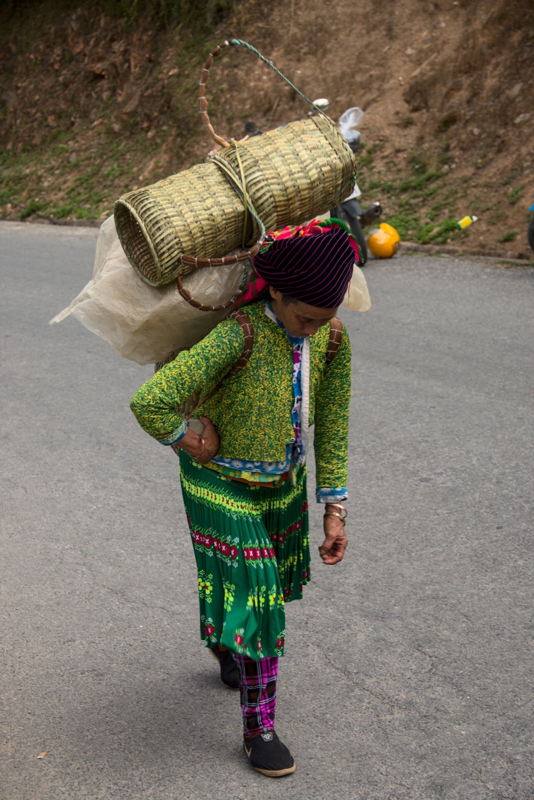
Pedestrians: locals carrying baskets or leading cattle often walk right at the edge of the road. Slow down when you pass them.
If you are not used to mountain roads, riding with an easy rider is more relaxed and safer. See easy rider or ride yourself.
A local woman carrying goods on a mountain road in the Đồng Văn area: slow down when you pass — Photo: Benjamin Smith, CC BY-SA 4.0, Wikimedia Commons
Roadside etiquette
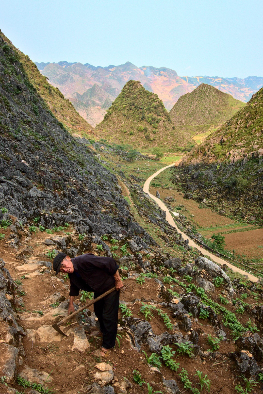
Fields belong to local families. Don't walk into corn fields, flower fields or gardens without asking. If the owner asks for a photo fee, pay it with a smile.
Ask before photographing people, especially elderly people and children. Don't hand out sweets or money to children by the road.
Take your rubbish with you to Sủng Là or Đồng Văn.
Don't climb the dry-stone walls for a pose: they mark the boundaries of family gardens and fields.
Farming between the rocks on a hillside in the Đồng Văn area: every pocket of soil by the road belongs to someone — Photo: Benjamin Smith, CC BY-SA 4.0, Wikimedia Commons
What to combine it with
The Thẩm Mã slope and Phố Cáo market
Stop at Thẩm Mã first, then ride through Phố Cáo to Chín Khoanh. Phố Cáo market sits right by QL4C and is a "backward market": it meets every six days, so each week it falls one weekday earlier than the week before. It runs from dawn until around noon; ask your homestay when the next one is. Read more about Hà Giang's ethnic markets.
Lũng Cẩm and Pao's House (about 3.5 km)
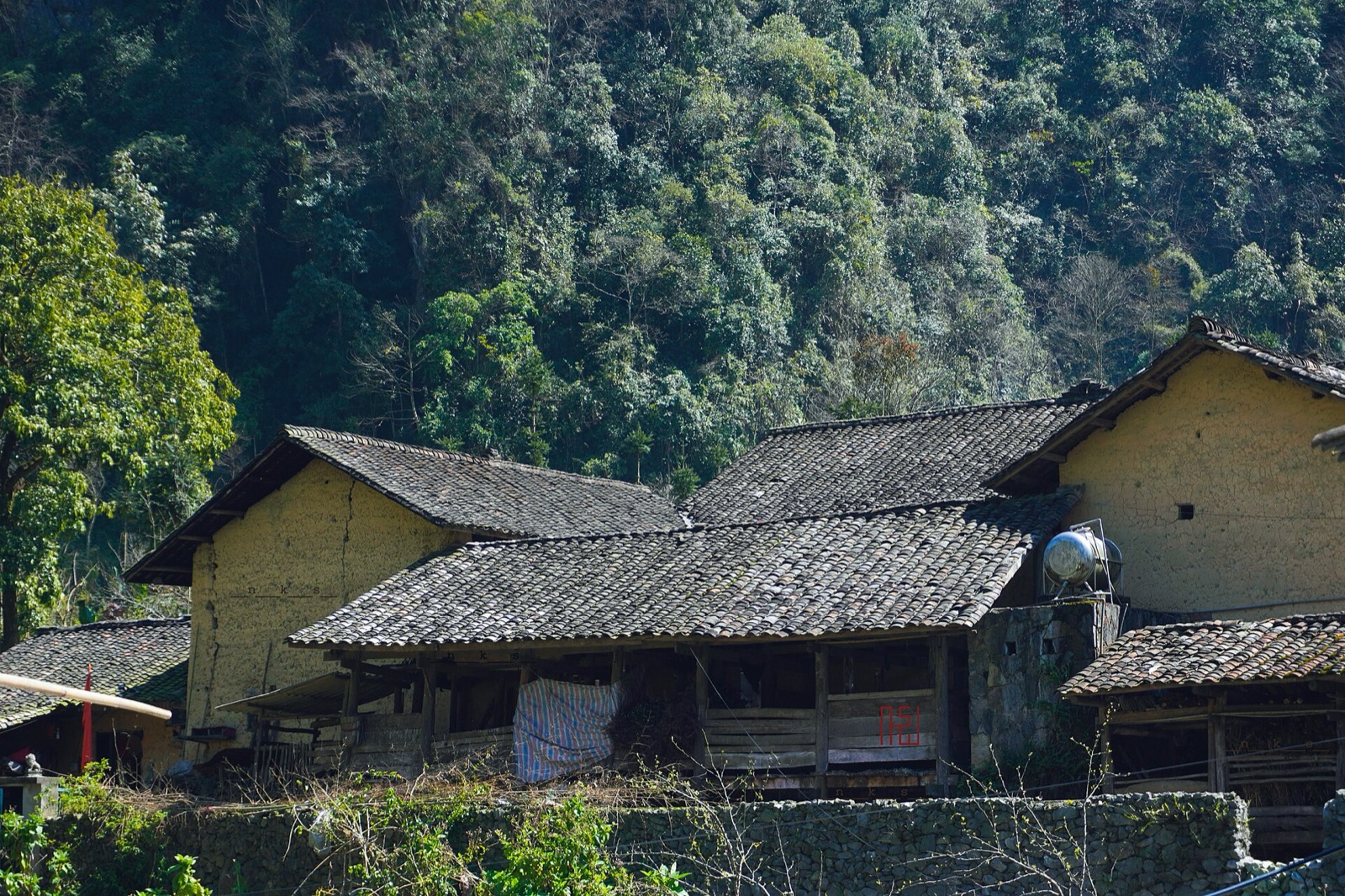
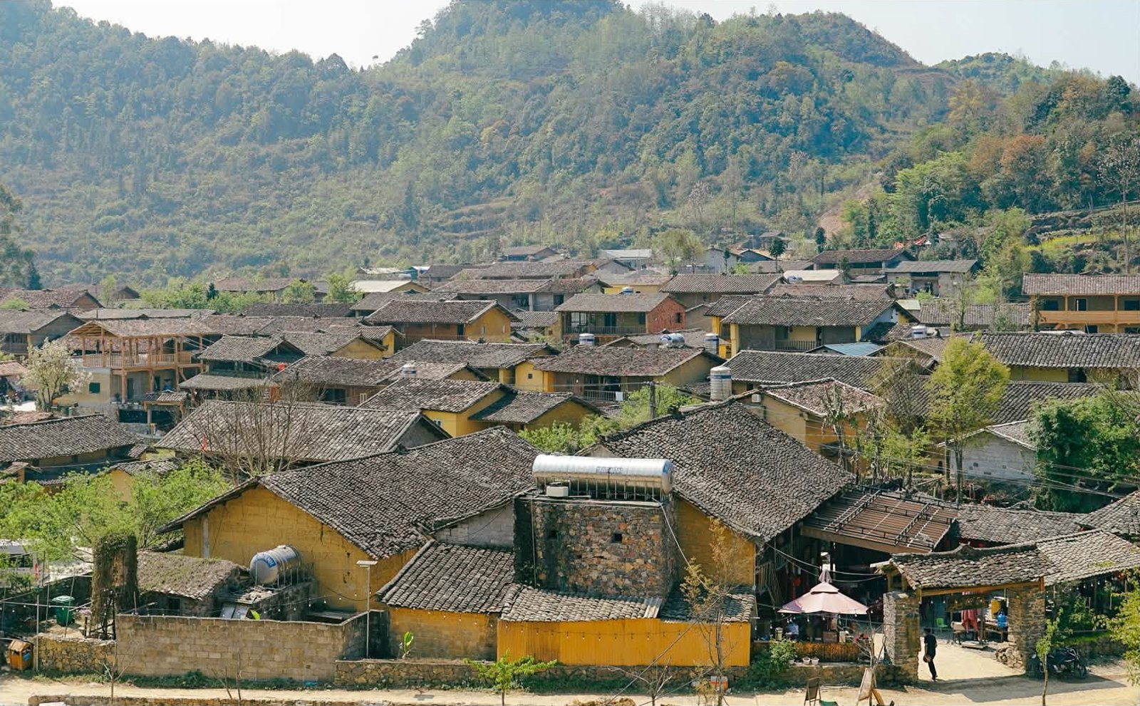
Ride down into Sủng Là and you reach the Lũng Cẩm cultural village, home of Pao's House, the setting of the film "The Story of Pao". Entry is about 10,000 VND. Rammed-earth houses, dry-stone walls and small lanes between gardens make it a good place for a slow walk after the pass. See Pao's House in Lũng Cẩm.
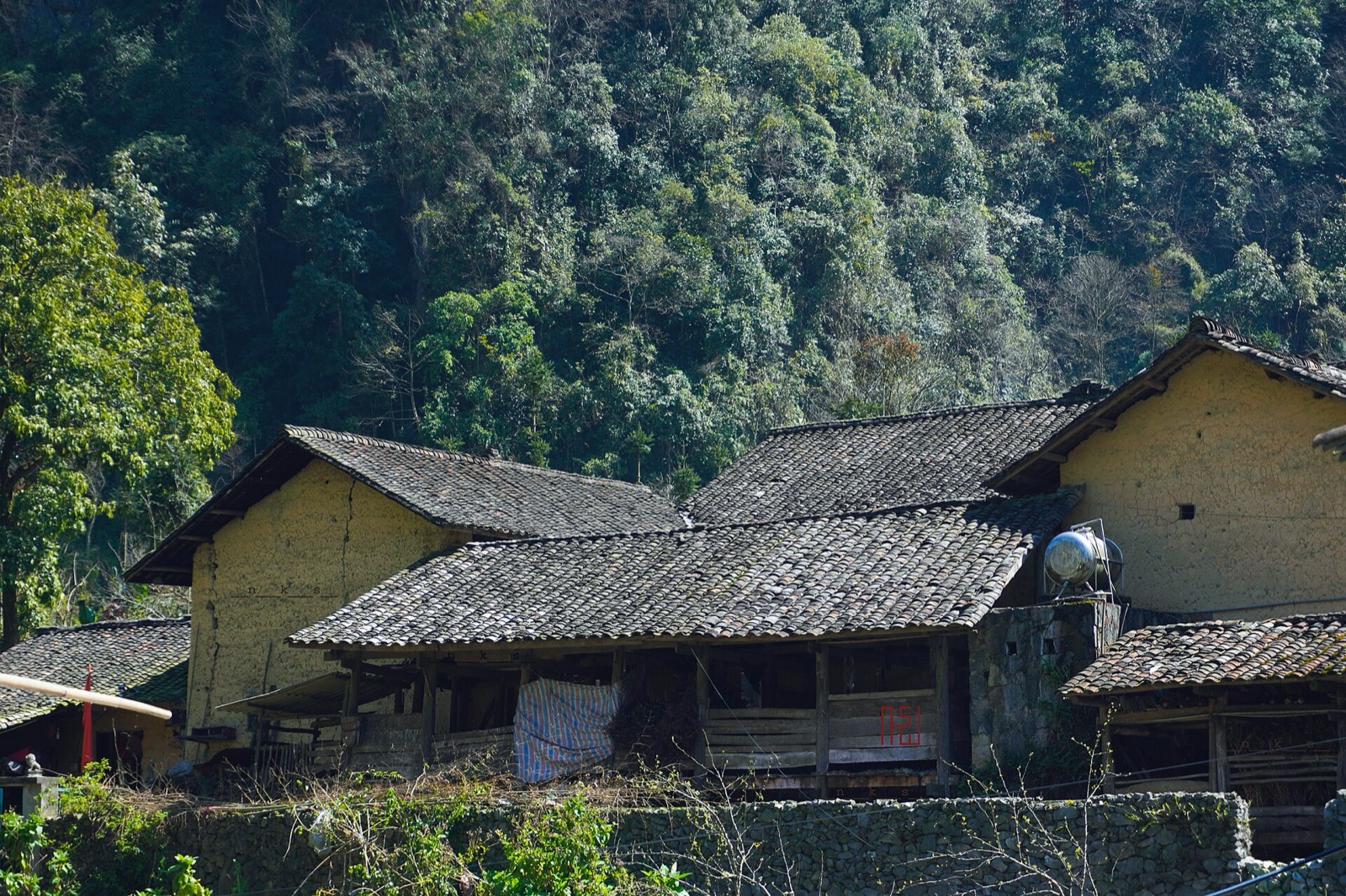
Rammed-earth houses in Lũng Cẩm, Sủng Là, a few kilometres from the Chín Khoanh slope — Photo: NKSTTSSHNVN, CC BY-SA 4.0, Wikimedia Commons
A tidy half day: leave Yên Minh in the morning → Thẩm Mã → Phố Cáo → Chín Khoanh → Lũng Cẩm → Hmong King Palace → check in at Đồng Văn before dark. For the whole Loop, see our 4-day, 3-night Hà Giang Loop itinerary.
Food, fuel and where to stay
The stall on the slope only sells simple drinks; have proper meals in Yên Minh, Sà Phìn or Đồng Văn. Fill up in Yên Minh; there are fuel stations along the way around Phố Cáo and Sà Phìn. There are a few small homestays around Lũng Cẩm, but most travellers stay in Đồng Văn old quarter.
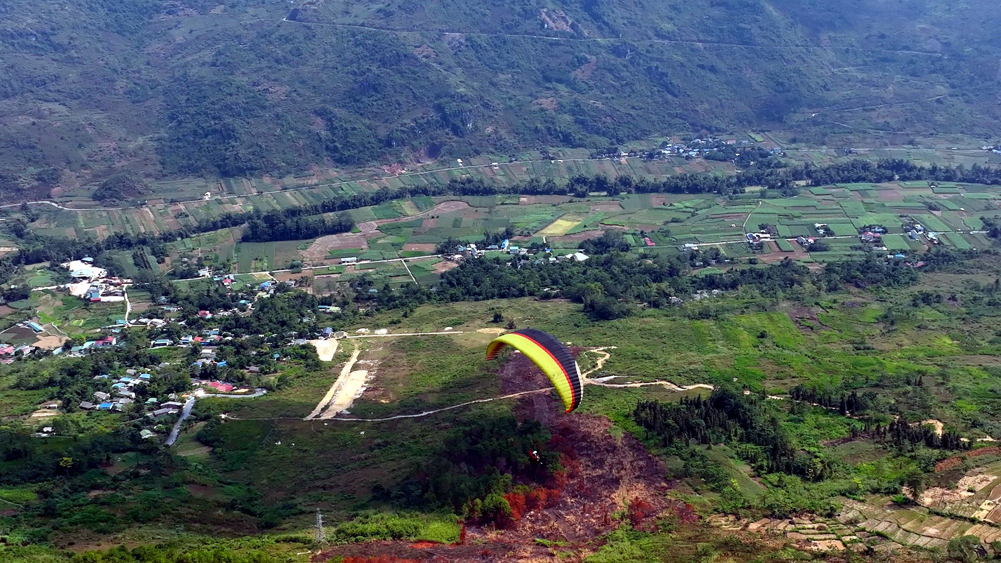
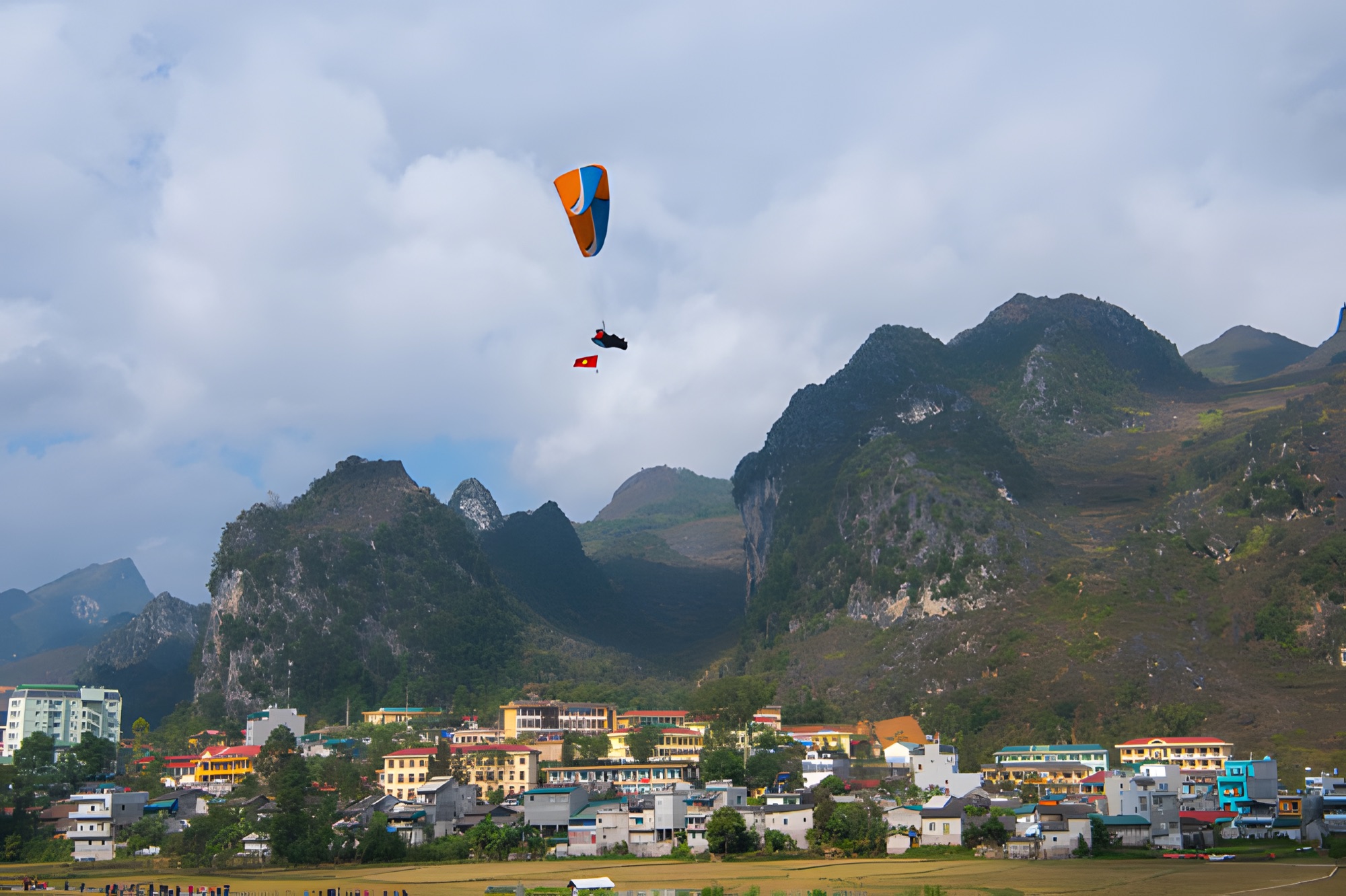
Paragliding on the way
If you started from Hà Giang city, you passed Quản Bạ at about Km45 before reaching Yên Minh. There the Mebayluon flying team runs tandem paragliding and paramotor flights every day from 06:30 to 18:30, over the Fairy Twin Mountains and the Miện river valley. See the Quản Bạ flying site or paragliding in Hà Giang. In Đồng Văn, tandem paragliding is possible by appointment, scheduled around the wind. Before your flying day, check the flying-weather forecast.
Frequently asked questions
Where is the Chín Khoanh slope?
On QL4C, on the stretch linking Phố Cáo with Sủng Là, about 18 km from Yên Minh town and about 27 km from Đồng Văn old quarter.
Are the Chín Khoanh slope and the Thẩm Mã slope the same?
No. Thẩm Mã comes first, from the Yên Minh side up to Phố Cáo; Chín Khoanh comes second, from Phố Cáo up to Sủng Là, about 7 km later. Some articles call Thẩm Mã the "nine-bend slope", which is why photos online are often mislabelled.
Is there an entrance fee?
No. You may only pay a small fee if you step into a family's flower field for photos.
Can I ride an automatic scooter over the Chín Khoanh slope?
Yes, but the constant gradient and tight bends wear out weak scooters, especially with two people on board. Many travellers choose a semi-automatic or manual bike, or ride with an easy rider.
Where should I stop to photograph the slope?
At the wide spot near the top of the bends, next to the small drinks stall, shooting down from above. Another 2 km brings you to the crest, with a view down into the Sủng Là valley.
Book a flight:book online — no deposit, free cancellation
Bắc Sum Pass or Quản Bạ? A side-by-side look at the two flying sites on the QL4C near Hà Giang city: distance, landing field, valley width, paragliding and paramotor, a flying morning at Quản Bạ, getting there and fitting the flight into the Hà Giang Loop…
Quản Bạ or Đồng Văn? An honest comparison of our two flying sites on the Hà Giang Loop: location, getting there, scenery, paragliding vs paramotor, what a flying session looks like, wind and schedule, price, and how to fly both…
A practical guide to the Mã Pí Lèng Sky Path, the cliff-edge walking trail above the Nho Quế River: the trailhead at the Youth Volunteers monument, the route section by section, the death rock closure (October 2026), what to wear, when to go and how to pair it with a Tu Sản canyon boat trip…
A guide to Lô Lô Chải, the Lô Lô village at the foot of the Lũng Cú flag tower: rammed-earth houses, costume and bronze drums, Café Cực Bắc, homestays, the road from Đồng Văn, 2026–2027 traffic rules and village etiquette…
The Yên Minh pine forest lines Highway 4C about 7–8 km before Yên Minh town on the Quản Bạ side: exact location, commune after the 2025 merger, best light, how to stop safely, what's nearby and how to fit it into a 3- or 4-day Loop…
A guide to Pao's House in Lũng Cẩm cultural village, in the Sủng Là valley about 24 km from Đồng Văn: the Mua family's 1947 rammed-earth Hmong home, the film The Story of Pao, tickets, access from Road 4C, flower seasons and how to pair it with the Chín Khoanh bends and the Hmong King Palace…