Pao's House in Lũng Cẩm, Sủng Là: the film, tickets, how to get there, flower seasons
A guide to Pao's House in Lũng Cẩm cultural village, in the Sủng Là valley about 24 km from Đồng Văn: the Mua family's 1947 rammed-earth Hmong home, the film The Story of Pao, tickets, access from Road 4C, flower seasons and how to pair it with the Chín Khoanh bends and the Hmong King Palace.
Ms. Judy · · 17 min read
Pao's House (Nhà của Pao) is the Mua family's rammed-earth Hmong home in Lũng Cẩm cultural village, in the Sủng Là valley. It sits right by Road 4C, about 24 km before Đồng Văn old quarter, and was the main setting of the film "The Story of Pao". Entry is about 10,000 VND (≈ US$ 0.40), and at times it has been free.
On the Hà Giang Loop, Sủng Là is the valley you reach just after coming down the Chín Khoanh bends, before Sà Phìn and Đồng Văn. Many riders only stop for a few minutes at the village gate. This guide explains whose house it is, what to look at inside, which flowers bloom in each season, and which nearby stops to pair Lũng Cẩm with.
Quick facts before you go
Info
Details (approximate, may change)
Name
Nhà của Pao (Pao's House, home of Mr Mua Súa Páo), in Lũng Cẩm cultural tourism village
Location
Sủng Là valley, now part of Sà Phìn commune, Tuyên Quang province (formerly Hà Giang)
Access
Village gate right next to Road 4C (QL4C), between the Chín Khoanh bends and Sà Phìn
Keep reading
Distances
Đồng Văn about 24 km; Hmong King Palace about 11 km; Chín Khoanh bends about 4 km
Ticket
About 10,000 VND per person to enter the house, sometimes free; ask at the gate
Visiting hours
Daytime; the family still lives here, so come between morning and afternoon
Time to allow
45 minutes to 1 hour for the house and a loop of the village
Best seasons
October–November for buckwheat flowers; January–March for peach and plum blossom
Pao's House: the Mua family home
Before it became "Pao's house" on screen, this was the home of a real Hmong family. According to the information board put up in the village by the management board of the Đồng Văn Karst Plateau UNESCO Global Geopark, Mua Súa Páo built the house in 1947. By then he was the richest man in the Sủng Là area, mainly through the opium trade. Báo Văn hóa adds that before the August Revolution of 1945 he had been a platoon leader in the forces of the Vương family, the "Hmong kings". That family's palace in Sà Phìn is only about 11 km away.
The house now belongs to Mr Mua Sính Già, Mua Súa Páo's grandson, and members of the family still live here. In 2013 the old Đồng Văn district restored the house on the principle of keeping its traditional architecture intact. So when you step inside, you are entering a family home, not a temporary film set.
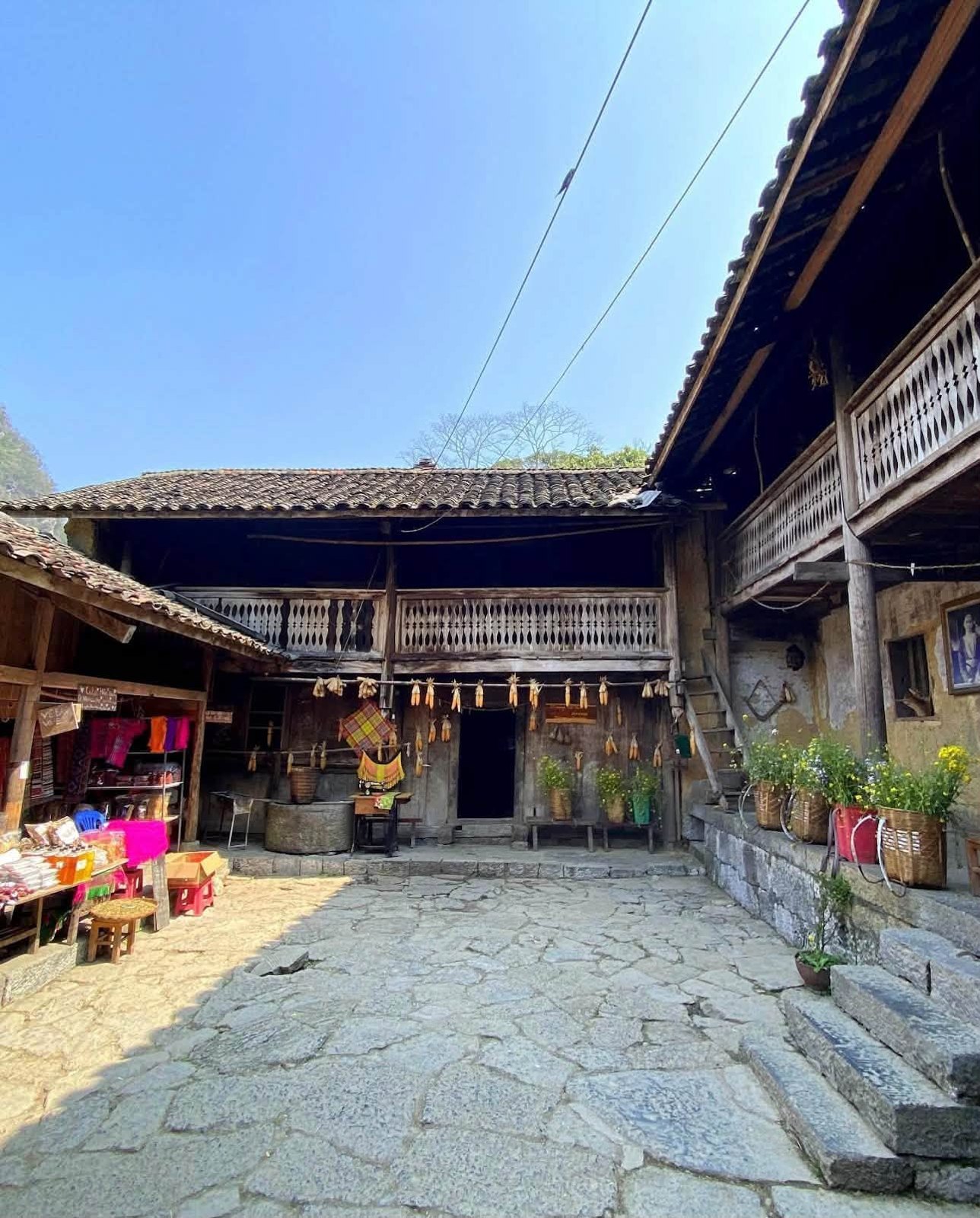
The stone-paved courtyard of Pao's House: two-storey wings with wooden balustrades, corn hanging under the eaves and a small souvenir corner
The film "The Story of Pao"
"The Story of Pao" (Chuyện của Pao) was written and directed by Ngô Quang Hải and adapted from the short story "Tiếng đàn môi sau bờ rào đá" ("The jaw harp behind the stone fence") by writer Đỗ Bích Thúy. Đỗ Thị Hải Yến plays Pao, a Hmong girl on the Rocky Plateau who sets out to learn the story of her birth mother. Most of the film was shot in the Sủng Là valley, so the stone fences, cornfields and tiled roofs you see today have all been on screen.
A few milestones recorded by the press and film references:
Golden Kite Awards 2005 (presented in March 2006): the film won 4 prizes: best feature film, best actress, best supporting actress and best cinematography.
2006: the film was released and selected for the first-films competition of the 30th Montreal World Film Festival.
15th Vietnam Film Festival (Nam Định, November 2007): the film received a Silver Lotus, and Hải Yến won best actress.
According to Báo Lào Cai, the film "Lặng yên dưới vực sâu" was also shot in Lũng Cẩm. If you have seen "The Story of Pao", you will recognise plenty of corners.
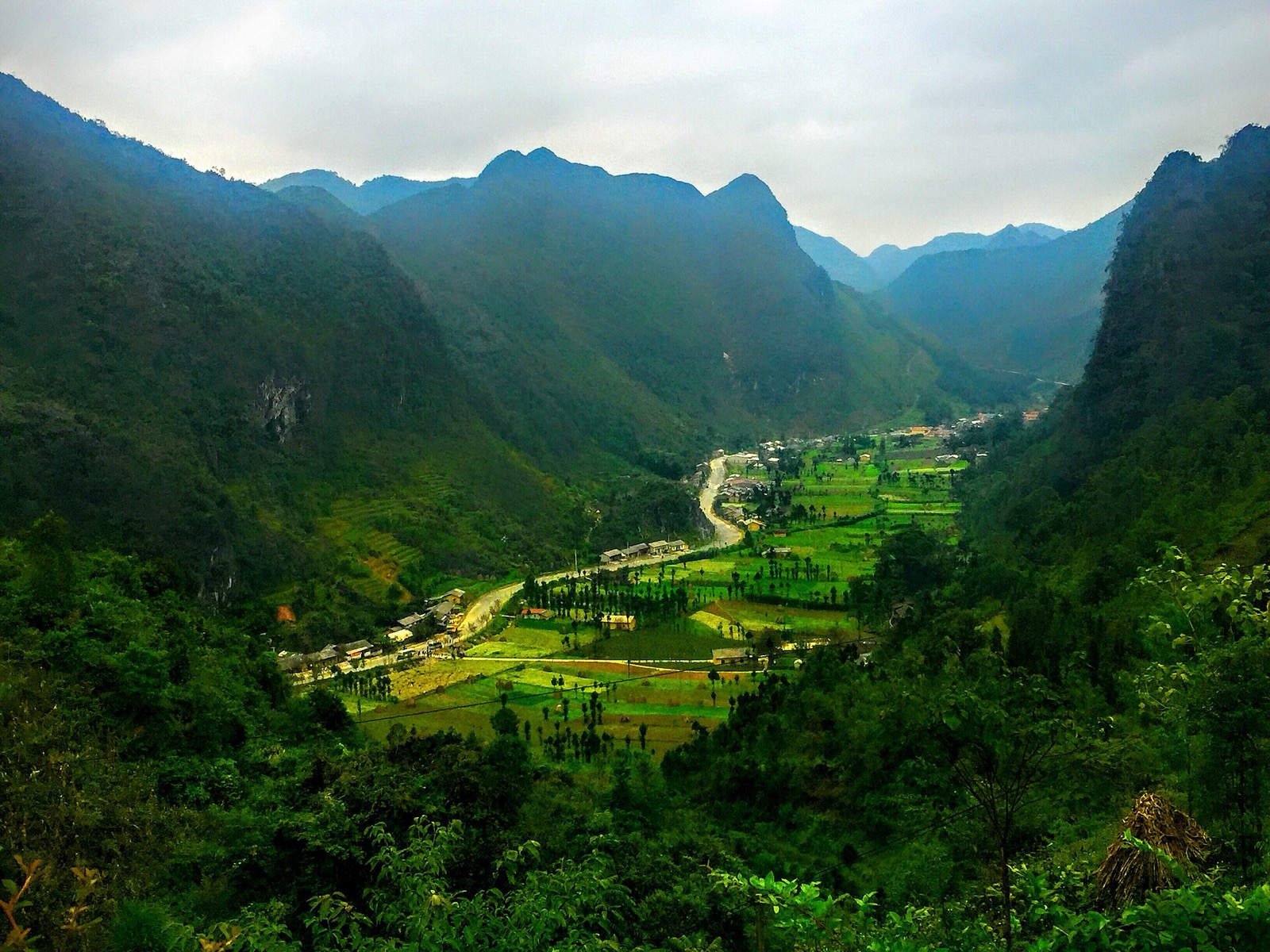
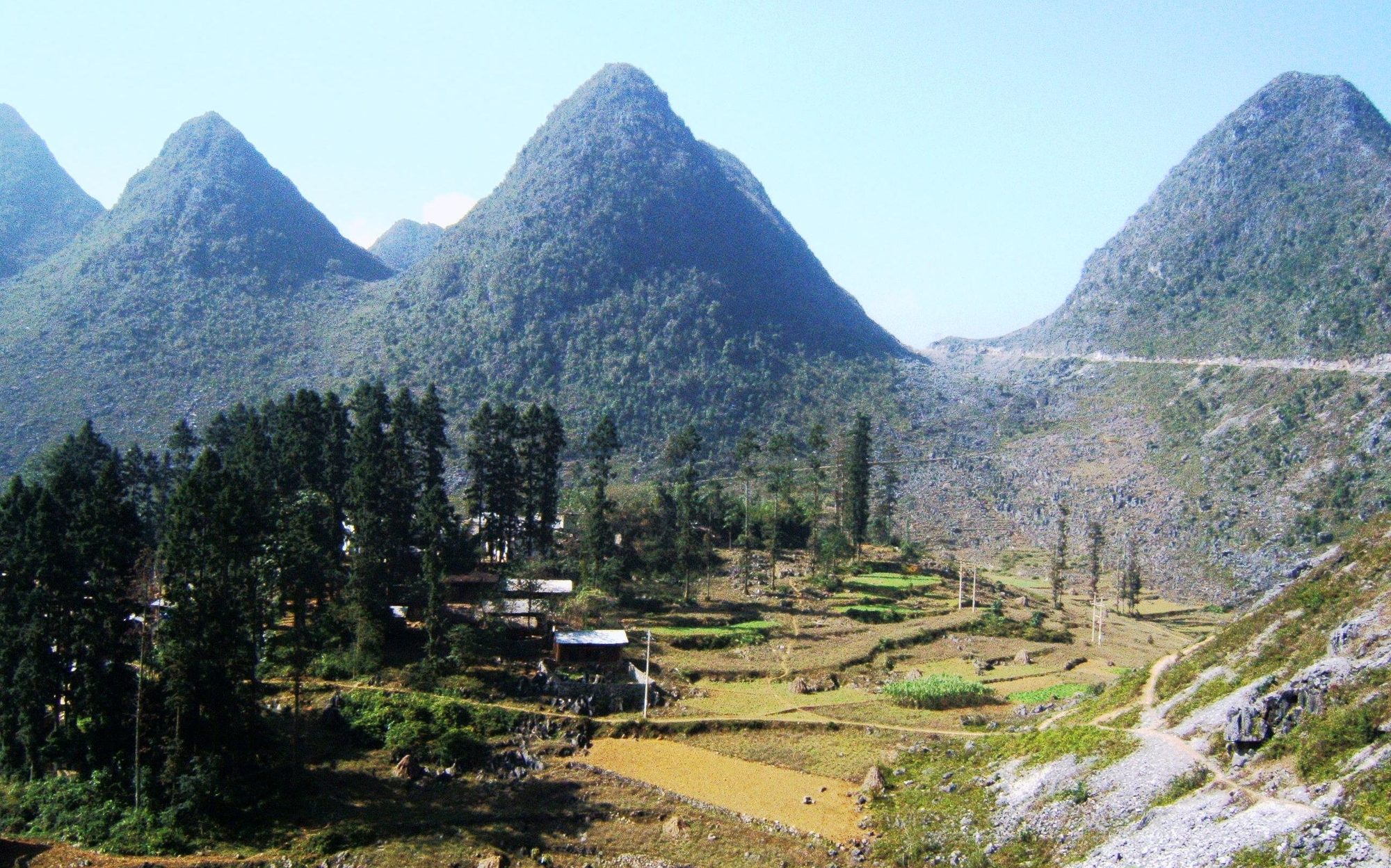
The Sủng Là valley, where most of "The Story of Pao" was filmed, seen from the mountainside (October 2015) — Photo: trungydang, CC BY 3.0, Wikimedia Commons
Inside the house: what to look at
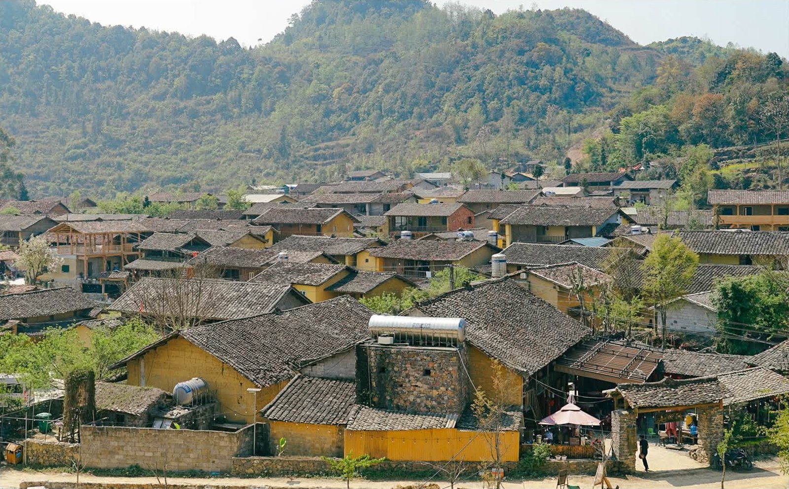
Pao's House is on the left as you walk into the village, so it is easy to find. From outside you first see a stone fence about 1.5 m high, stacked by hand from rough stone with no cement or mortar. Inside is a two-storey compound of earth, wood and stone.
A layout built around an open courtyard
The wings of the house enclose a small stone-paved open courtyard (sân trời). The main central room is used for ancestor worship, receiving guests and family life; the side rooms hold the kitchen, storage and animal pens. Facing inward like this keeps the house warm in winter and keeps the whole family safe.
Rammed earth, yin-yang tiles and a gate without iron
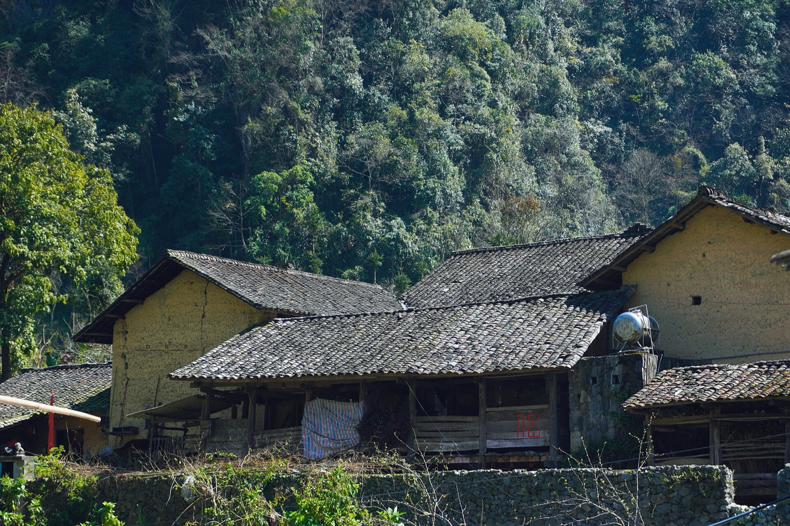
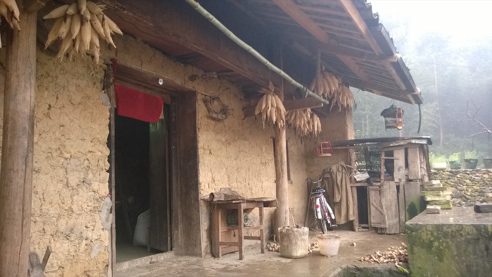
Rammed-earth walls about 50 cm thick, warm in winter and cool in summer. Look closely and you can see the layers of packed earth.
Yin-yang tiled roofs, the familiar roof style of the Rocky Plateau.
Wooden columns on stone bases, stone steps and low wooden doors.
A wooden gate and wooden bolt, with no hinges or iron latches, in the traditional Hmong way.
The porch of a rammed-earth house in Lũng Cẩm, with seed corn hanging under the eaves (2014) — Photo: Vuong Tri Binh, CC BY-SA 4.0, Wikimedia Commons
Everyday objects
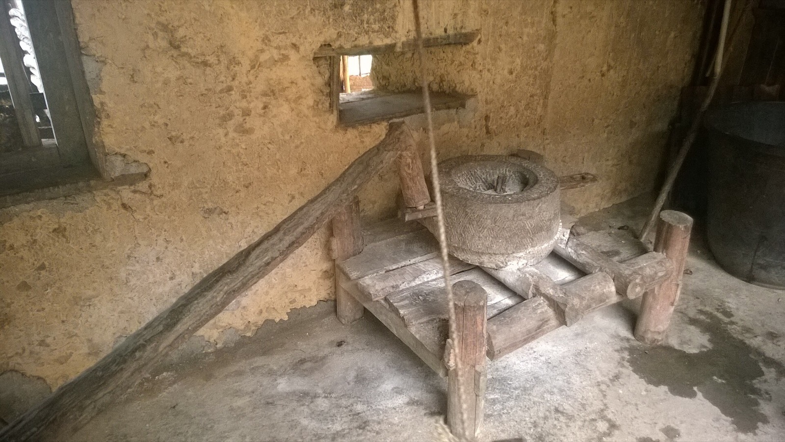
Inside there is still a stone grain mill, a weaving loom and a wood-fired stove, and the walls are hung with old photos and stills from the film. Corn is the staple crop of the Rocky Plateau: seed corn is hung under the eaves to dry, and the stone mill grinds corn for mèn mén, the steamed cornmeal Hmong families eat every day.
A stone mill on a wooden stand inside a house in Lũng Cẩm (2014) — Photo: Vuong Tri Binh, CC BY-SA 4.0, Wikimedia Commons
Plum, apricot and peach trees grow around the house. In spring their white and pink blossom fills a corner of the courtyard, and that is when the house gets the most visitors with cameras.
Lũng Cẩm cultural village
Lũng Cẩm is a community-based cultural tourism village. According to Báo Lào Cai (February 2025), it has more than 70 households and over 300 residents (another source says more than 60 households). Most are Hmong, with some Lô Lô and Hoa (ethnic Chinese) families. Many of the rammed-earth houses and stone fences are more than a hundred years old.
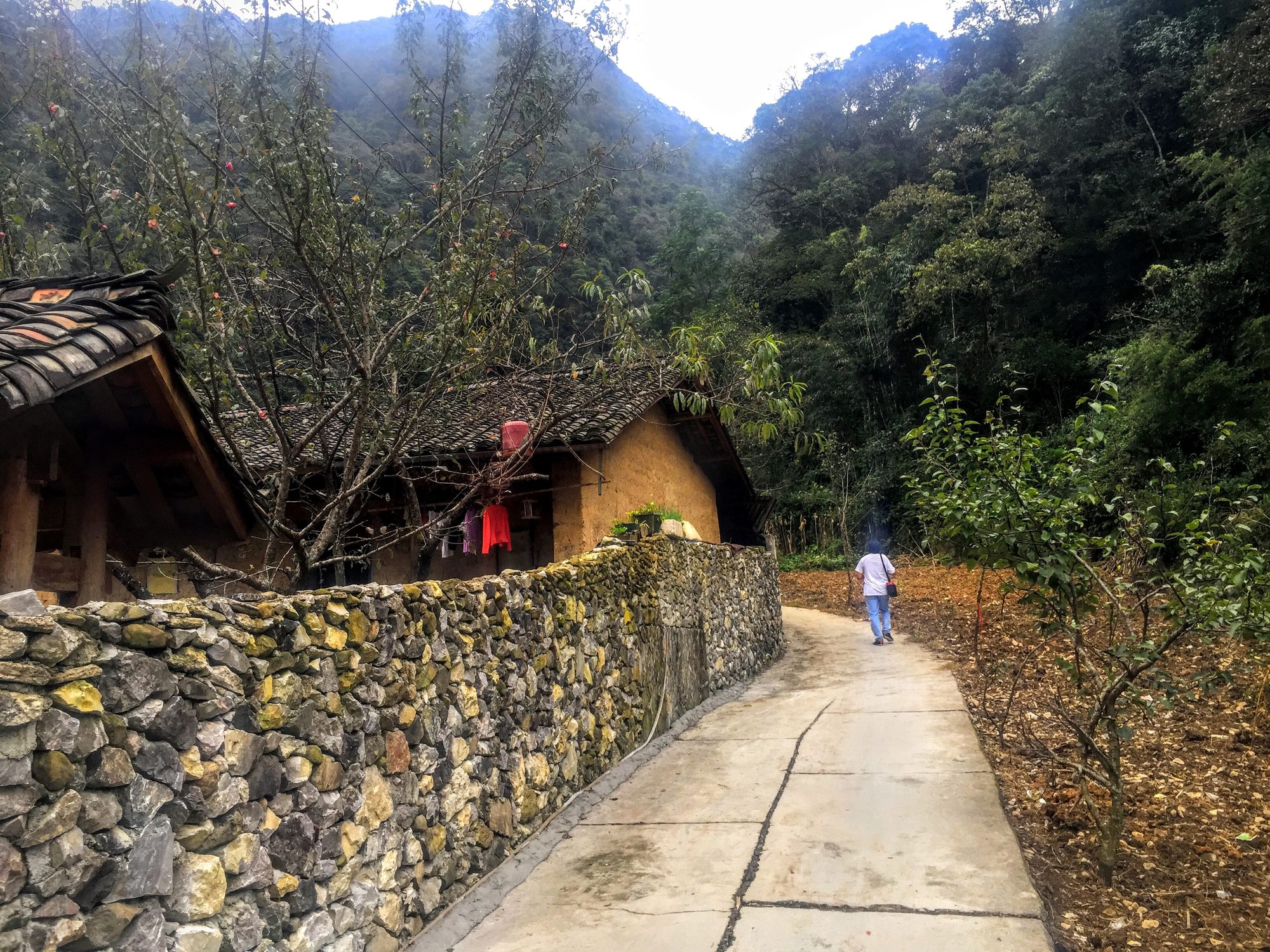
After the house, take a slow walk along the small concrete lanes between the gardens. You'll pass moss-covered stone fences, pear, plum and peach orchards, and cornfields at the foot of the mountain. Women in the village still grow hemp, then dye and weave it into traditional clothing. There is also a village performance group that plays at festivals or for groups who book ahead. You can rent traditional costumes for photos in the village; ask the price there.
A lane past a stone wall and a rammed-earth house in Sủng Là — Photo: trungydang, CC BY 3.0, Wikimedia Commons
Some families sell homemade products such as smoked buffalo and beef, corn wine or wild greens. If you want to buy, agree on the price first and carry small notes.
The Sủng Là valley through the seasons
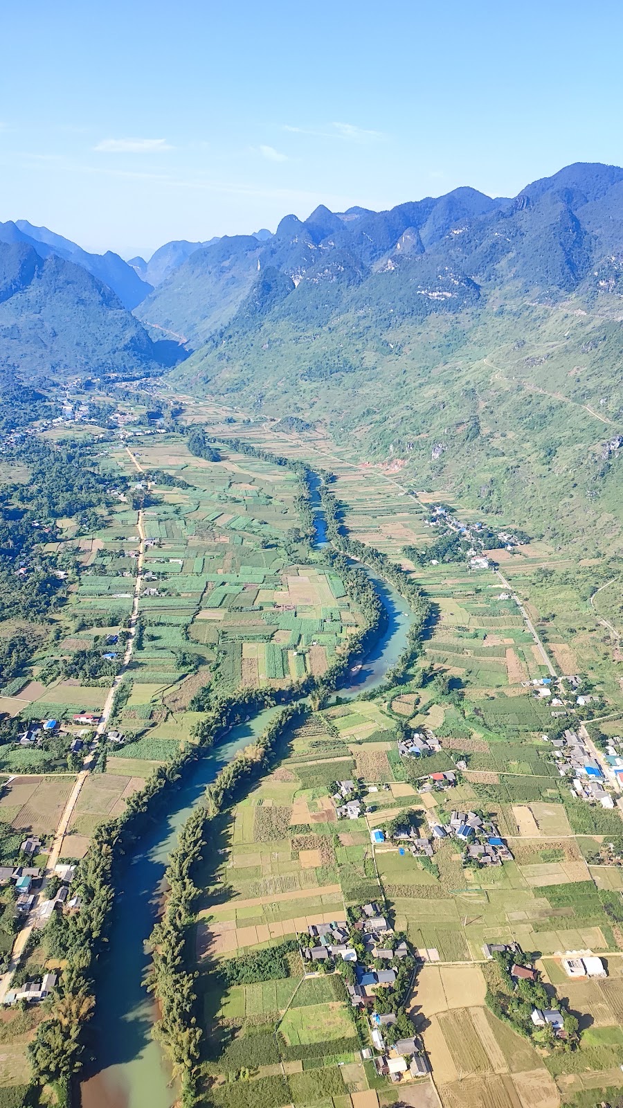
Sủng Là is a fairly flat valley among limestone ranges, so each season gives it a different colour:
When
What you'll see
October–November
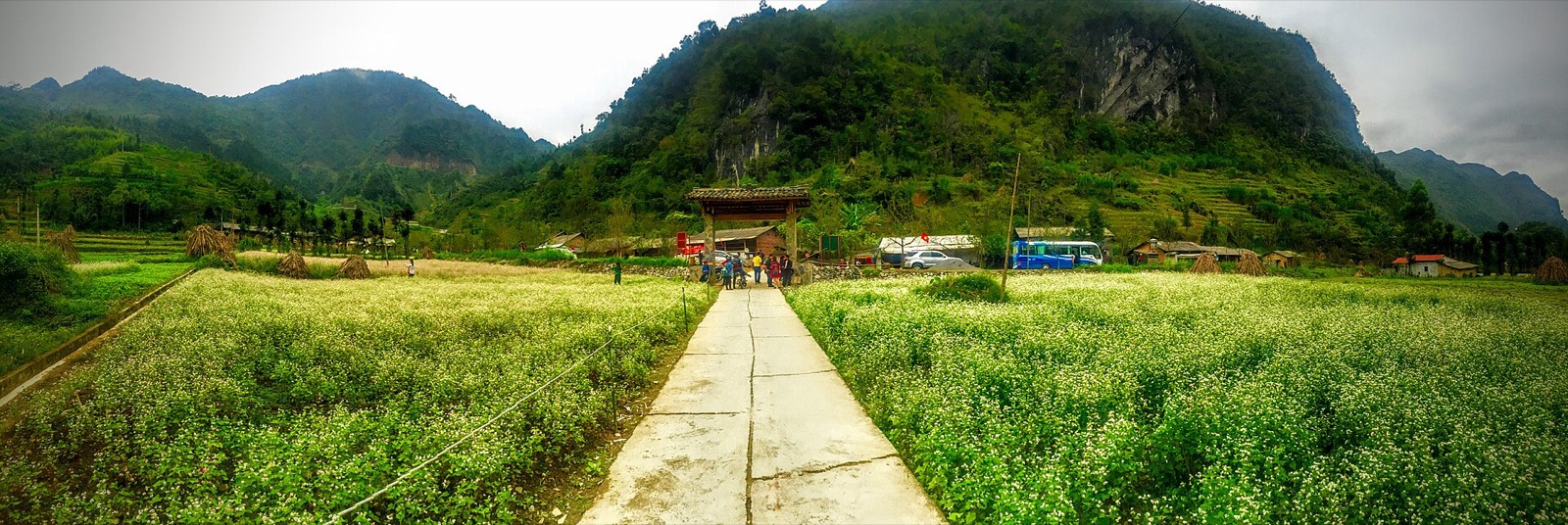
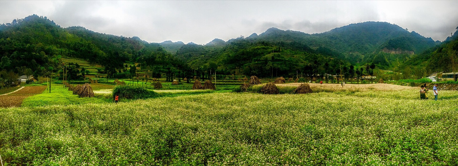
Buckwheat flower season, white and pink fields around the village
December
White and yellow mustard flowers in the fields
January–March
Peach, plum and apricot blossom around the houses and along the road
Summer
Green fields and cornfields, more rain
Winter
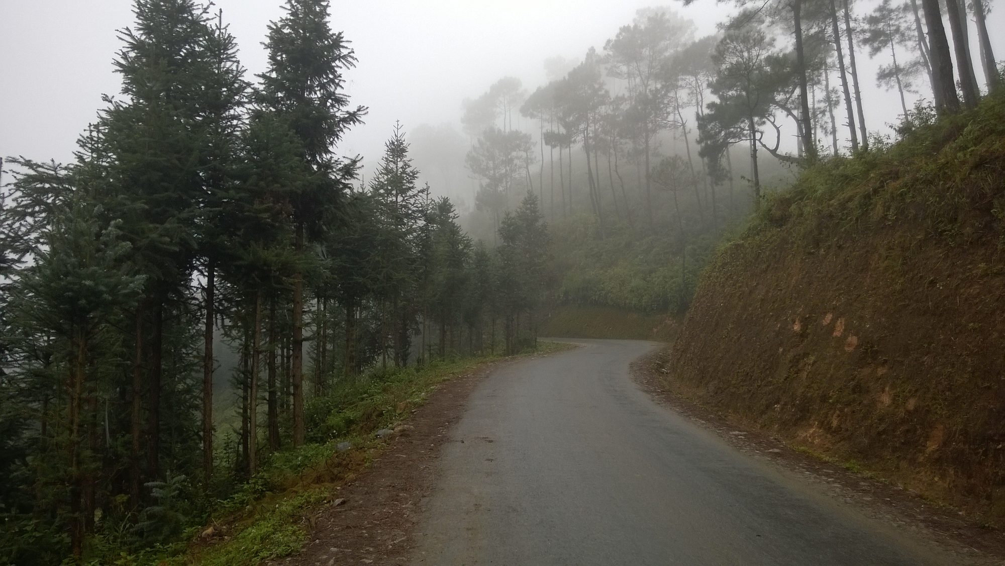
Early-morning fog often fills the valley
In 2026 the 12th Buckwheat Flower Festival opened on the evening of 25 October in Đồng Văn commune, with activities running until the end of December, so Sủng Là is much busier in these weeks. How thickly the flowers bloom depends on each year's weather; see our guides to the buckwheat flower season and Hà Giang in spring, plum and peach blossom.
The path into the village between two buckwheat fields in Sủng Là (October 2015) — Photo: trungydang, CC BY 3.0, Wikimedia Commons
The flower fields are farmland belonging to local families. Some owners charge a small fee to walk in for photos; ask first and stay on the field edges.
Getting there and parking
From Yên Minh (the usual Loop direction): follow Road 4C past the Thẩm Mã slope and Phố Cáo, then climb over the Chín Khoanh bends. The top of the bends is about 4 km from Lũng Cẩm. Drop down into the Sủng Là valley and you'll find the village gate right beside the road, with the sign "Làng văn hoá du lịch Lũng Cẩm" (Lũng Cẩm Cultural Tourism Village). From the gate, the lane into the village is about 300 m long, a few minutes' walk.
From Đồng Văn: ride back along Road 4C towards Yên Minh for about 24 km, through Sà Phìn (the Hmong King Palace). By car or motorbike it takes about 30–40 minutes, depending on how often you stop for photos.
From Hà Giang city: about 120 km on Road 4C, over 3 hours by private car without stops. Most travellers visit Lũng Cẩm on day 2 of the Loop, on the way from Yên Minh up to Đồng Văn. See our Đồng Văn stop guide on the Hà Giang Loop.
Parking: leave motorbikes or cars on the open ground near the village gate; don't block the main road or the lanes leading to people's houses.
Road safety
The Chín Khoanh bends are a run of tight hairpins with cars and buses on them. Go down in a low gear, don't coast, and never overtake on a bend.
Early mornings and late afternoons often bring fog to the valley; turn your lights on and slow down.
In November–December it gets dark early (sunset around 17:15–17:30). If you still have to ride on to Đồng Văn, leave Sủng Là by about 16:00.
If you are not used to mountain passes, consider riding with an easy rider; our guide easy rider or riding yourself compares the two.
How long to stay, best time of day, photo tips
45 minutes to an hour is enough for the house and a loop of the village. Add 30 minutes if you want to walk into the flower fields or rent a costume for photos.
Morning light is soft and there are fewer visitors; at midday the sun is harsh and shadows on the earth walls are hard. Late-afternoon light turns the rammed earth a warm gold.
Best view over the whole valley: from the bends on Road 4C as it drops into Sủng Là. Only stop where the road is wide, and stay off the carriageway.
In the courtyard: stand in one corner and shoot across to show the wings enclosing the open courtyard. It is quite dark inside; brace your camera against a column or door frame instead of using flash.
In the flower fields: shoot from the field edge, with flowers in the foreground and mountains behind.
Buckwheat fields in the middle of the Sủng Là valley (October 2015) — Photo: trungydang, CC BY 3.0, Wikimedia Commons
Etiquette in a Hmong home
Pao's House is a lived-in home, and Hmong households have their own taboos:
Don't touch things without asking, especially the ancestral altar and anything hanging on the walls.
Don't lean against or hang things on the house columns or the main door.
Don't pat children on the head, and don't whistle inside the house.
Ask before photographing people, including children. If you can do without the photo, skip it.
Don't walk into gardens, fields or other houses unless invited. Don't pick peach or plum blossom.
If you want to fly a drone, ask the family and villagers first.
Take your rubbish out of the village with you, especially plastic bottles.
Where to eat and sleep
A few families in the Sủng Là valley take homestay guests. If you want to stay overnight for the morning fog, arrange it in advance through your guide or easy rider. Most travellers continue to Đồng Văn old quarter, about 24 km away, where there are far more places to eat and sleep. In the evening try cháo ấu tẩu (a herbal rice porridge) or thắng cố (a hearty Hmong stew) around the old market; the next morning have bánh cuốn (steamed rice rolls) before heading to Lũng Cú or Mã Pí Lèng. More in our guide to Hà Giang food to try.
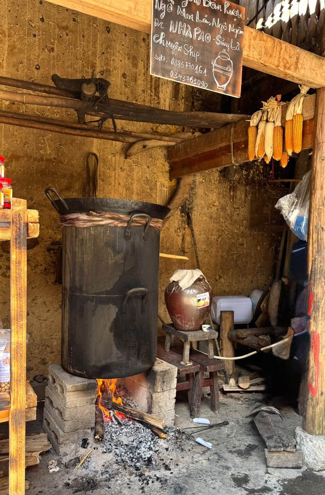
The corn-wine corner inside Pao's House: a still over a wood fire, a wine jar and corn hanging from the beams
What to combine with Pao's House
Lũng Cẩm sits in a chain of stops along Road 4C, so it is easy to build an afternoon around it.
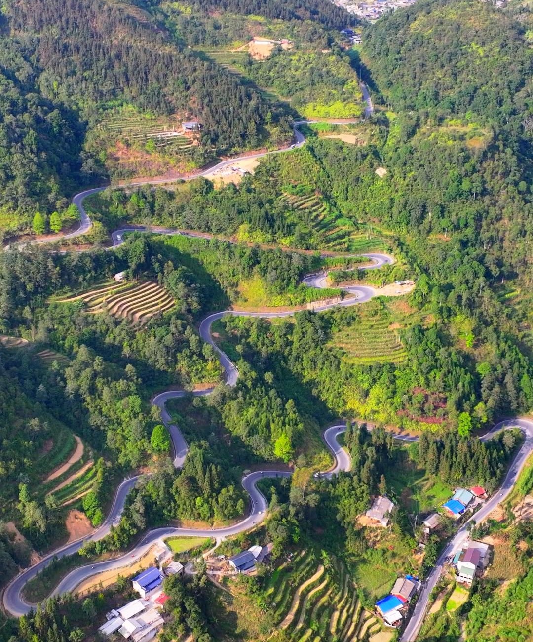
The Chín Khoanh bends and the Thẩm Mã slope
The Thẩm Mã slope (near Phố Cáo, about 10 km from Lũng Cẩm) and the Chín Khoanh bends (about 4 km) are the two passes you ride just before Sủng Là. From the stop at the top of the Chín Khoanh bends you can see the hairpins stacked one after another. See our guides to the Chín Khoanh bends and the Thẩm Mã slope.
The Hmong King Palace in Sà Phìn
Since July 2025, Sủng Là and Sà Phìn have both been part of the new Sà Phìn commune. The Vương Family Mansion (Hmong King Palace) is about 11 km from Lũng Cẩm towards Đồng Văn; tickets are about 20,000–25,000 VND and it is usually open until about 5 pm. Visit both back to back and you'll see the same courtyard layout at two very different scales. See our Hmong King Palace in Sà Phìn guide.
The Vương family mansion on the Mai Rùa mound, Sà Phìn commune — Photo: BacLuong at Vietnamese Wikipedia, public domain, Wikimedia Commons
Đồng Văn old quarter and Lũng Cú
About 13 km beyond Sà Phìn you reach Đồng Văn old quarter, the most convenient place to spend the night. If you are there on a Sunday morning, go to the Đồng Văn market; see our guide to Đồng Văn old quarter, its nights and its Sunday market. The next day you can ride up to Lũng Cú and the Lô Lô Chải village.
A suggested afternoon from Yên Minh to Đồng Văn
Early afternoon: stop at the Thẩm Mã slope, then the Chín Khoanh bends.
Mid-afternoon: Pao's House and a loop of Lũng Cẩm village (about 1 hour).
Late afternoon: the Hmong King Palace (it usually closes around 5 pm), then on to Đồng Văn old quarter before dark.
If the afternoon feels too tight, move the palace to the next morning, on your way to Lũng Cú. For the full plan, see our 4-day, 3-night Hà Giang Loop itinerary.
Adding a flight to your trip
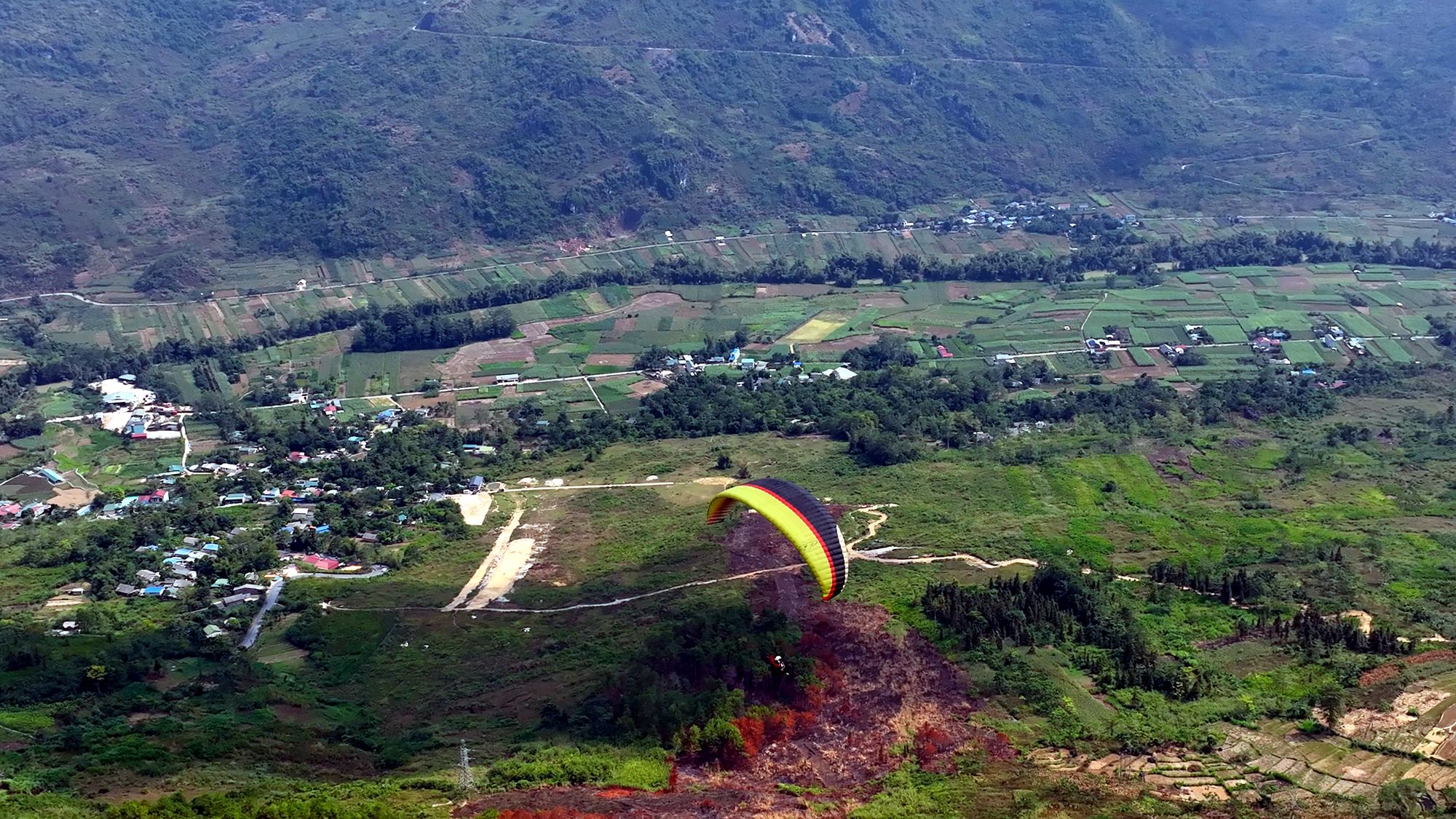
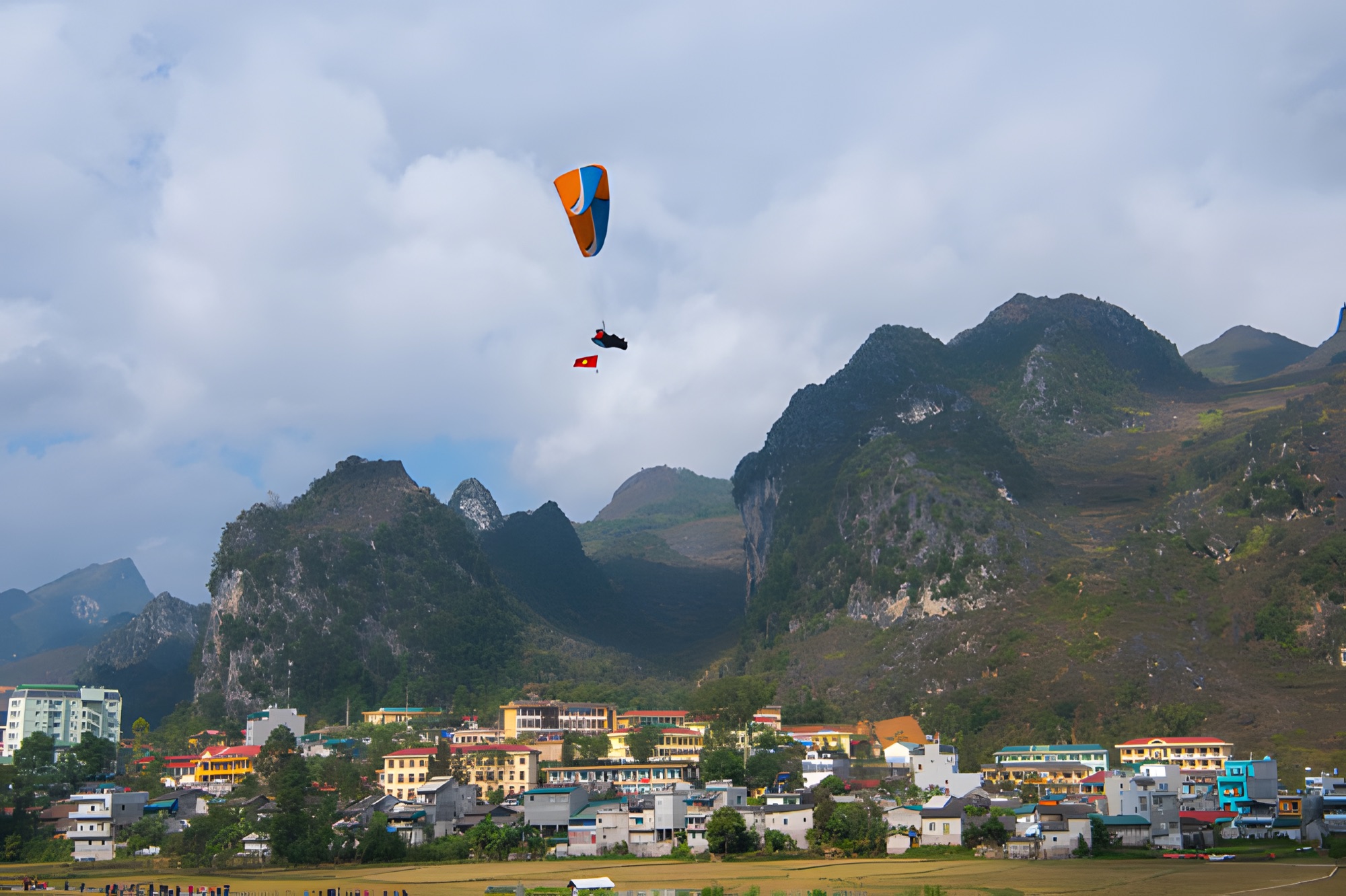
Riding the Loop in the usual direction, you will already have passed Quản Bạ at about Km45, around 70 km before Lũng Cẩm. There the Mebayluon flying team runs paragliding and paramotor flights every day from 06:30 to 18:30, over the Fairy Twin Mountains (núi đôi Cô Tiên) and the Miện river valley. A standard 9–15-minute paragliding flight costs 2,290,000 VND per guest (≈ US$ 91), with GoPro video and insurance included. See the Quản Bạ flying site and paragliding in Hà Giang; before your flying day you can check the flying-weather forecast.
Frequently asked questions
Where is Pao's House?
In Lũng Cẩm cultural tourism village, in the Sủng Là valley (now Sà Phìn commune, Tuyên Quang province). The village gate is right on Road 4C, between the Chín Khoanh bends and Sà Phìn, about 24 km from Đồng Văn old quarter.
How much is the ticket to Pao's House?
About 10,000 VND per person (≈ US$ 0.40); at times visitors have been let in free. The fee can change, so ask at the gate and carry small notes.
What is the film "The Story of Pao" based on?
It is adapted from the short story "Tiếng đàn môi sau bờ rào đá" by writer Đỗ Bích Thúy, directed by Ngô Quang Hải, with Đỗ Thị Hải Yến as Pao. The film won 4 Golden Kite Awards for 2005.
When is the best time to visit Sủng Là?
October–November for buckwheat flowers, or January–March for peach and plum blossom. December usually brings mustard flowers. In winter, early mornings are often foggy.
Can I visit Pao's House and the Hmong King Palace in one go?
Yes. They are about 11 km apart on the same Road 4C and in the same Sà Phìn commune. Allow about an hour for each, and reach the palace before about 4 pm, as it usually closes around 5 pm.
Cover photo: NKSTTSSHNVN, CC BY-SA 4.0, Wikimedia Commons
Book a flight:book online — no deposit, free cancellation
Bắc Sum Pass or Quản Bạ? A side-by-side look at the two flying sites on the QL4C near Hà Giang city: distance, landing field, valley width, paragliding and paramotor, a flying morning at Quản Bạ, getting there and fitting the flight into the Hà Giang Loop…
Quản Bạ or Đồng Văn? An honest comparison of our two flying sites on the Hà Giang Loop: location, getting there, scenery, paragliding vs paramotor, what a flying session looks like, wind and schedule, price, and how to fly both…
The Chín Khoanh slope is a stack of hairpin bends on QL4C between Phố Cáo and Sủng Là, about 18 km past Yên Minh and 27 km before Đồng Văn: why it's called "nine coils", the best viewpoint, how to stop safely, how it differs from Thẩm Mã and what to see nearby…
A practical guide to the Mã Pí Lèng Sky Path, the cliff-edge walking trail above the Nho Quế River: the trailhead at the Youth Volunteers monument, the route section by section, the death rock closure (October 2026), what to wear, when to go and how to pair it with a Tu Sản canyon boat trip…
A guide to Lô Lô Chải, the Lô Lô village at the foot of the Lũng Cú flag tower: rammed-earth houses, costume and bronze drums, Café Cực Bắc, homestays, the road from Đồng Văn, 2026–2027 traffic rules and village etiquette…
The Yên Minh pine forest lines Highway 4C about 7–8 km before Yên Minh town on the Quản Bạ side: exact location, commune after the 2025 merger, best light, how to stop safely, what's nearby and how to fit it into a 3- or 4-day Loop…