Nho Quế river boat trip through Tu Sản canyon from Mã Pí Lèng: road to the dock, tickets
From Đồng Văn over the Mã Pí Lèng pass, turn off at Pả Vi and go down to Tràng Hương bridge for a Nho Quế boat trip into the Tu Sản canyon: ticket office, electric shuttle to the dock, tickets around 150,000 VND, life jackets, best season, the Sky Path and how to combine it with paragliding in Quản Bạ.
Ms. Judy · · 16 min read
To take a boat through the Tu Sản canyon on the Nho Quế river, ride from Đồng Văn along QL4C over the Mã Pí Lèng pass, turn left at Pả Vi onto the road to Xín Cái, go down to Tràng Hương bridge below the Nho Quế 1 hydropower dam, buy a ticket (about 150,000 VND) and take the electric shuttle to the dock; the boat trip itself takes about an hour.
"Mã Pí Lèng → Tu Sản canyon → Nho Quế boat" is the stretch that a great many Hà Giang Loop travellers fit into their Đồng Văn – Mèo Vạc day. Counting from the turn-off at Pả Vi, getting down to the dock, doing the boat trip and climbing back to QL4C usually takes about 2–3 hours.
This guide covers what you need to know before you go: the route to the dock that is in use now, ticket office hours, prices, the life-jacket rule, the best season for the water, viewpoints on the pass, how to behave in the villages, and how to combine this stage with Mèo Vạc, Đồng Văn or a paragliding flight in Quản Bạ.
The Nho Quế river and the Tu Sản canyon
The Nho Quế flows into Vietnam from China and runs through the Đồng Văn – Mèo Vạc area (now part of Tuyên Quang province, though travellers still call it Hà Giang). The stretch squeezed between two sheer rock walls below the Mã Pí Lèng pass is the Tu Sản canyon, which many people consider one of the deepest and most striking canyons in Vietnam.
Keep reading
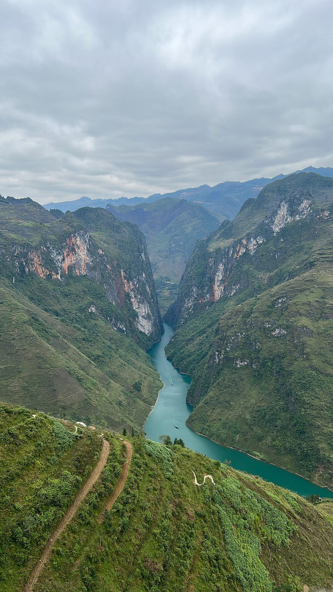
The Mã Pí Lèng pass is about 20 km long and tops out at around 1,200 m. From the pass the river looks like a thin green thread; only from the boat do you realise how high the cliffs really are. Read more about this stage on the Mã Pí Lèng pass and Nho Quế river pages.
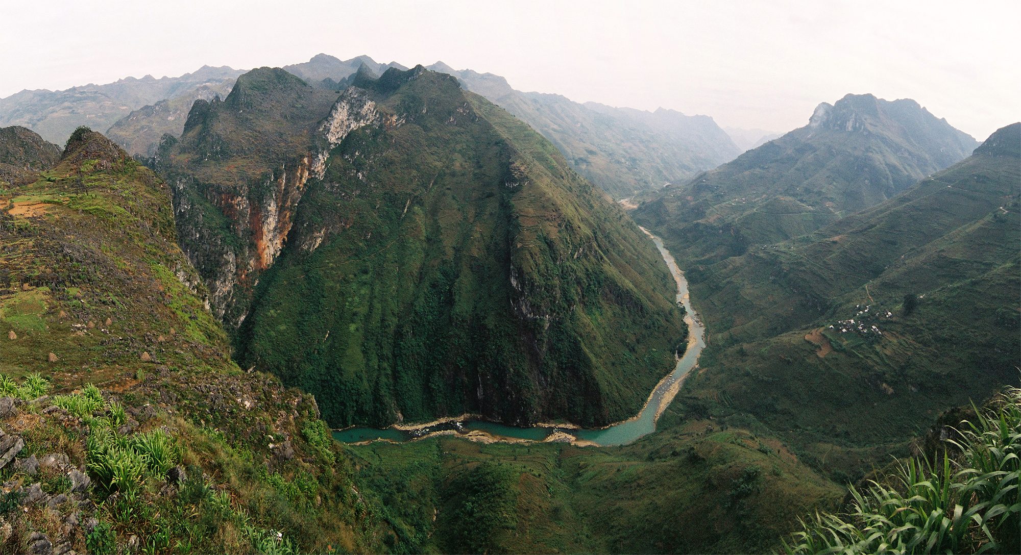
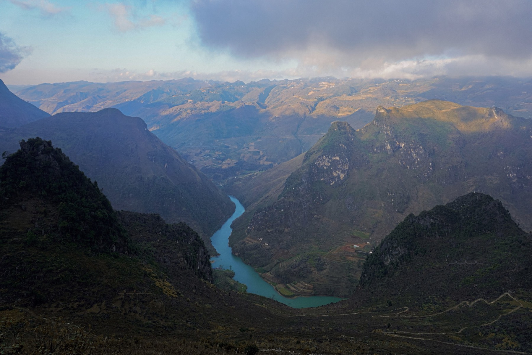
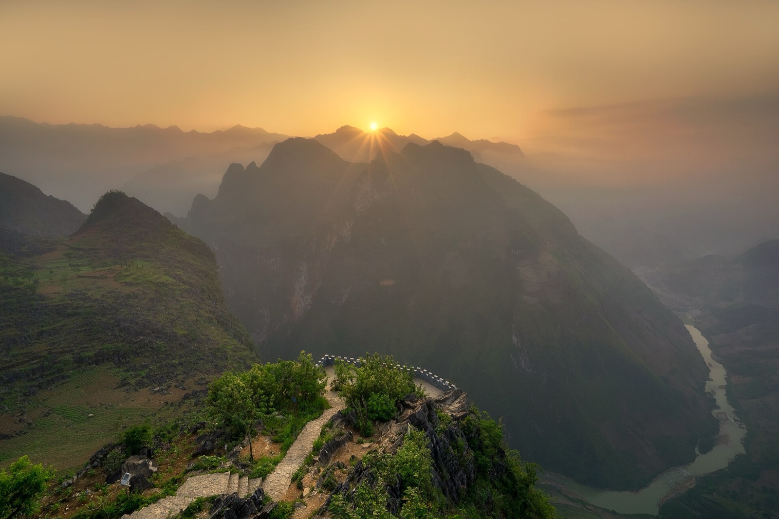
The Nho Quế river winding below, seen from Mã Pí Lèng pass — Photo: Khánh Hmoong, CC BY 2.0, Wikimedia Commons
There are two ways to experience this stage, and if you have the time, do both:
From the pass: stop at the wide spots along Mã Pí Lèng — free, and 15–30 minutes is enough.
Down on the river by boat: leave QL4C, buy a ticket, take the shuttle to the dock and ride into the canyon — allow about half a day.
Getting to the boat dock
From Đồng Văn over the Mã Pí Lèng pass to Pả Vi
From central Đồng Văn (around Km150 of the Loop), follow QL4C towards Mèo Vạc and cross the whole Mã Pí Lèng pass. After the pass, at Pả Vi (now part of Mèo Vạc commune), turn left onto the road to Xín Cái. If you are travelling the other way from Mèo Vạc, Pả Vi comes before the pass, so you can do the boat first and then cross the pass to Đồng Văn.
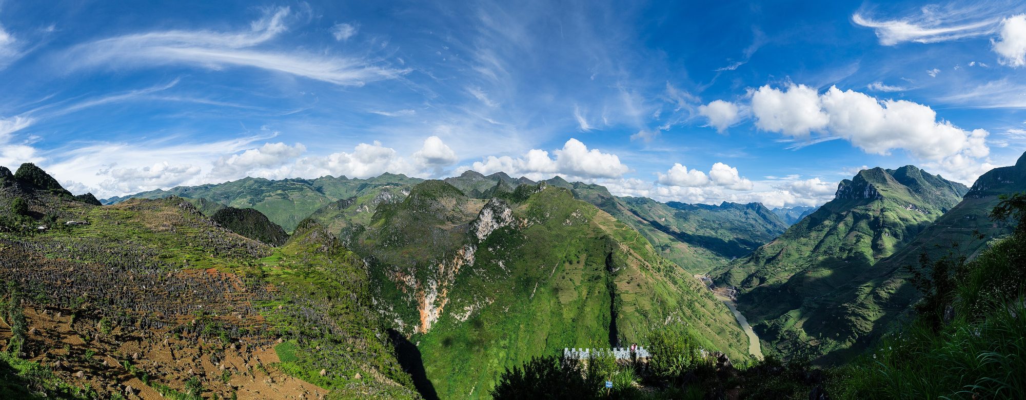
Panorama of Mã Pí Lèng pass under a blue sky — Photo: minhphuc_99kdd, CC0, Wikimedia Commons
Fill up the tank in Đồng Văn or Mèo Vạc before the pass, and leave time for a few photo stops on Mã Pí Lèng — it is very easy to run late here because almost every bend has a view.
Down to Tràng Hương bridge and the ticket office
From Pả Vi the road drops steeply to Tràng Hương bridge, below the Nho Quế 1 hydropower dam. At the foot of the bridge there is a ticket office (sign: "Canyon boat trip"), a car park and toilets.
Buy your ticket at the office; an electric shuttle then takes you about 2–3 km to the dock on the Nho Quế 1 reservoir.
Cars cannot drive down to the dock: park next to the ticket office and continue by shuttle.
The ticket office is open roughly 7:00–18:30. Try to arrive before about 16:00 so you can do the boat trip and get back to QL4C before dark (in November–December the sun sets around 17:15–17:30).
The electric shuttle to the Nho Quế 1 dock
After buying your ticket, wait for the shuttle at the ticket office. At weekends and on holidays in peak season you may have to wait a while for your turn, so build some slack into your plans. Take what you need on the boat (water, a jacket, a dry bag) and leave bulky things in the vehicle.
The Tà Làng dock no longer takes visitors
According to an August 2026 update, the Tà Làng dock (reached by a steep, winding road from the Tà Làng junction on the pass, on the Đồng Văn side) no longer takes visitors. Some older articles and maps still send you down from that junction; today you should carry on to Pả Vi. Things can change, so ask your accommodation or your easy rider before you set off.
If you ride your own motorbike
The road from Pả Vi down to Tràng Hương bridge is a steep mountain road with many bends, and the surface can be gravelly or slippery after rain.
Check your brakes before the descent; go down in a low gear, brake evenly with both wheels, don't ride the brakes and don't coast.
On the way up keep a steady throttle and don't stop mid-climb; keep to your side on bends and sound your horn at blind corners.
Leave the bike in the car park by the ticket office and take the shuttle to the dock.
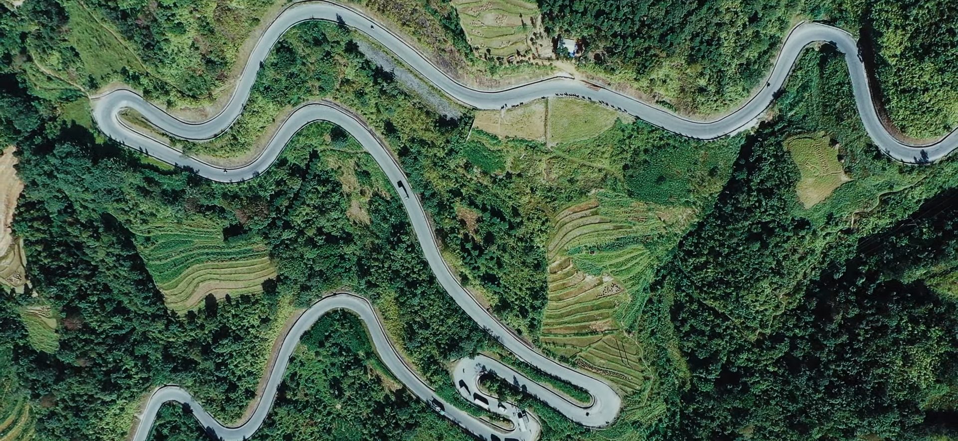
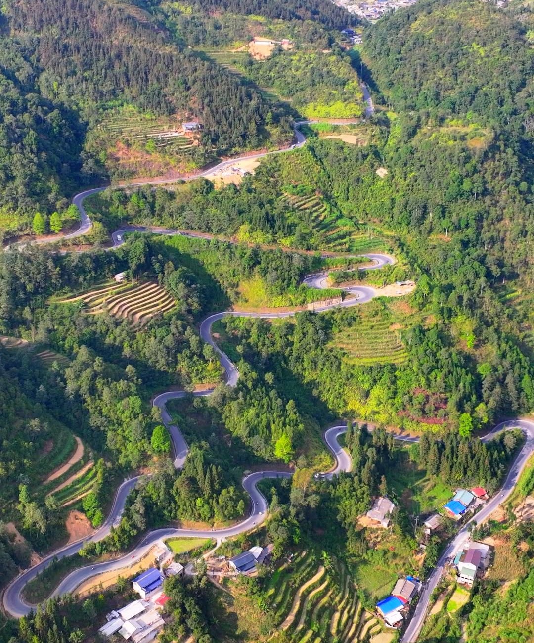
Aerial view of the switchbacks at Mã Pí Lèng pass — Photo: Cat Studio, CC BY 3.0, Wikimedia Commons
To picture the route beforehand, open the 3D map of the Hà Giang Loop: it shows the road down to the Nho Quế boat dock as well.
The boat trip into the Tu Sản canyon
The boat runs about 1–2 km into the Tu Sản canyon, stops for around 15 minutes inside so you can look around and take photos, then returns to the dock. The whole trip takes about an hour, including the stop.
From the water the canyon feels completely different from the view on the pass: sheer rock walls on both sides, so high you have to tip your head back to see the top, and green water reflecting the mountains. The 15-minute stop inside the canyon is the easiest time for photos, because the boat is not moving.
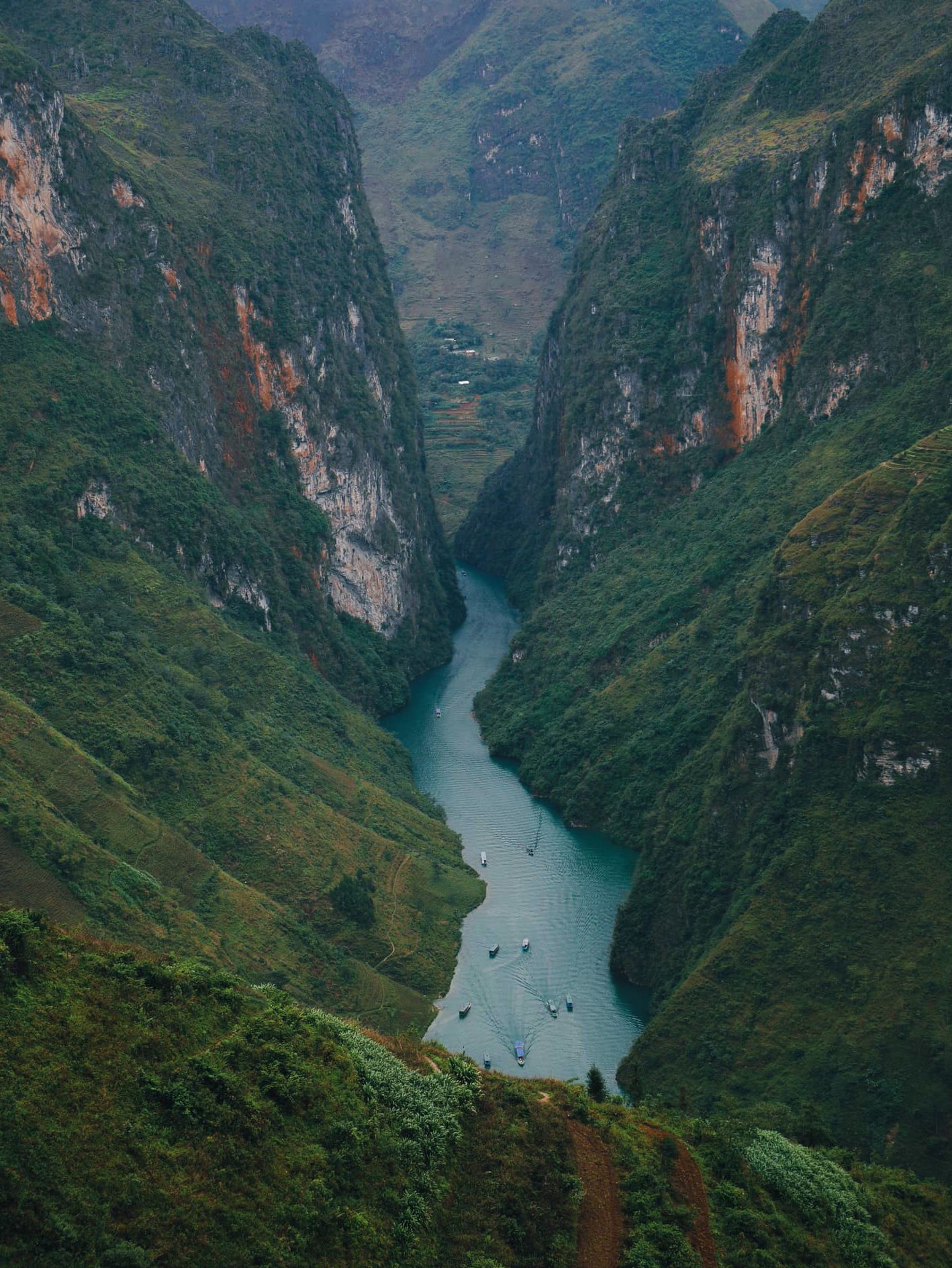
The jade-green Nho Quế river winding through the Tu Sản canyon below Mã Pí Lèng pass — Photo: NKSTTSSHNVN, CC BY-SA 4.0, Wikimedia Commons
The boats are run by the Tu Sản agricultural and tourism cooperative (HTX Nông nghiệp và Dịch vụ du lịch Tu Sản). In 2025 the dock welcomed about 40,000 visitors, so in peak season you won't have the canyon to yourself — arriving early is the simplest way to avoid waiting.
Rough timings
Stage
Distance
Time / notes
Đồng Văn → Mã Pí Lèng pass → Pả Vi
QL4C towards Mèo Vạc
Depends on how often you stop on the pass
Pả Vi → Tràng Hương bridge (ticket office)
Left onto the Xín Cái road, down below the Nho Quế 1 dam
Steep road, take it slowly
Ticket office → boat dock
About 2–3 km by electric shuttle
Add waiting time for the shuttle
Boat into Tu Sản canyon and back
About 1–2 km into the canyon
About 1 hour, incl. ~15-minute stop
Whole visit from Pả Vi
—
Allow about 2–3 hours
Ticket office hours
—
About 7:00–18:30, arrive before ~16:00
Tickets and the life-jacket rule
Price: about 150,000 VND (≈ US$ 6) per adult (July 2026 rate), insurance included; may change. Children under 1.2 m have a separate price — ask at the ticket office.
Buying tickets: at the ticket office below Tràng Hương bridge, no booking needed. Bring cash to be safe.
Life jackets are compulsory from the moment you step on the boat, even if you can swim. You may only take them off during the roughly 15-minute stop inside the Tu Sản canyon.
Visitors who deliberately break the rule repeatedly can be refused service and have their ticket refunded.
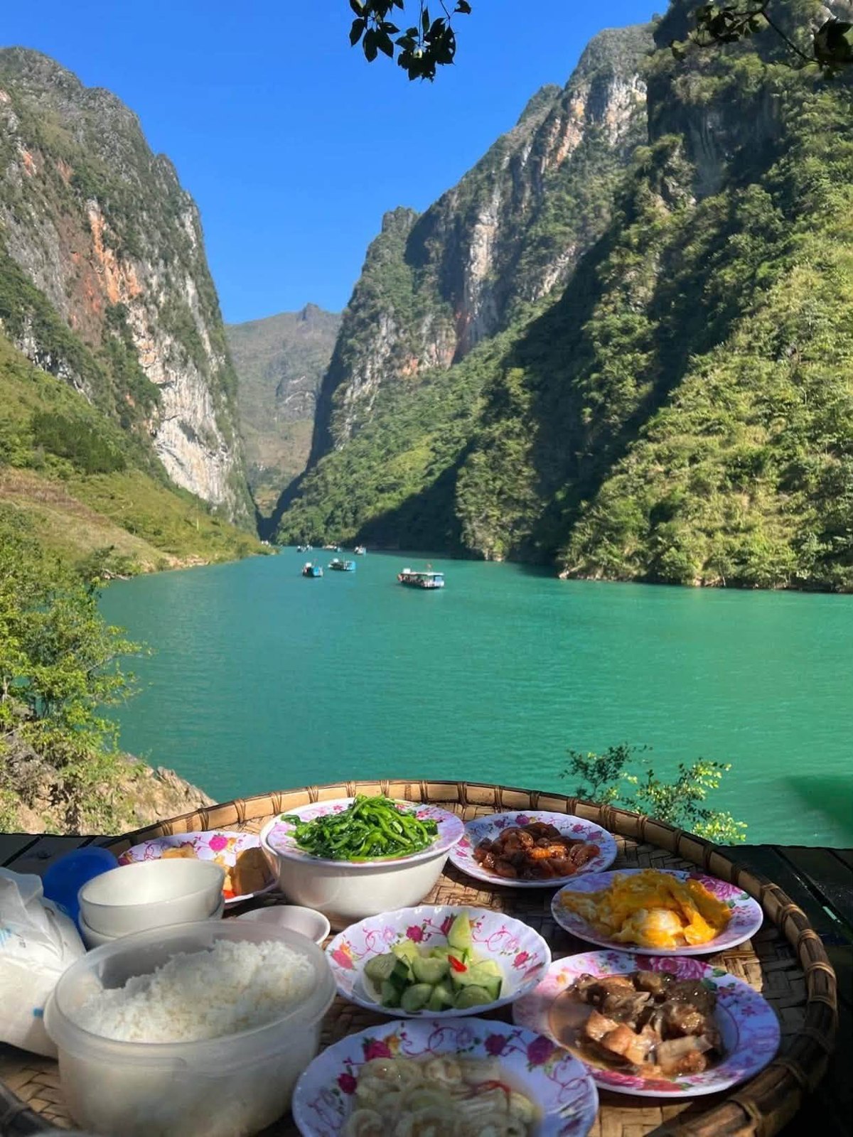
Lunch on a bamboo tray beside the jade-green Nho Quế, with tour boats heading into the Tu Sản canyon
When is the best time for a Nho Quế boat trip?
Peak season (roughly from the 10th lunar month to 30 April): dry weather, the water is usually clear and jade-green — great for photos. It is also when the dock is busiest.
October–December: dry season with mostly clear skies, and buckwheat-flower season on the plateau. In 2026 the 12th Buckwheat Flower Festival opened on the evening of 25 October in Đồng Văn commune, with activities running until the end of December — see buckwheat flower season.
Rainy season (roughly May to September): the water can turn brown with silt and flow fast. After heavy rain the boats may pause and the road down to the dock gets slippery and prone to landslides. Ask about conditions before going down, and don't try it in heavy rain.
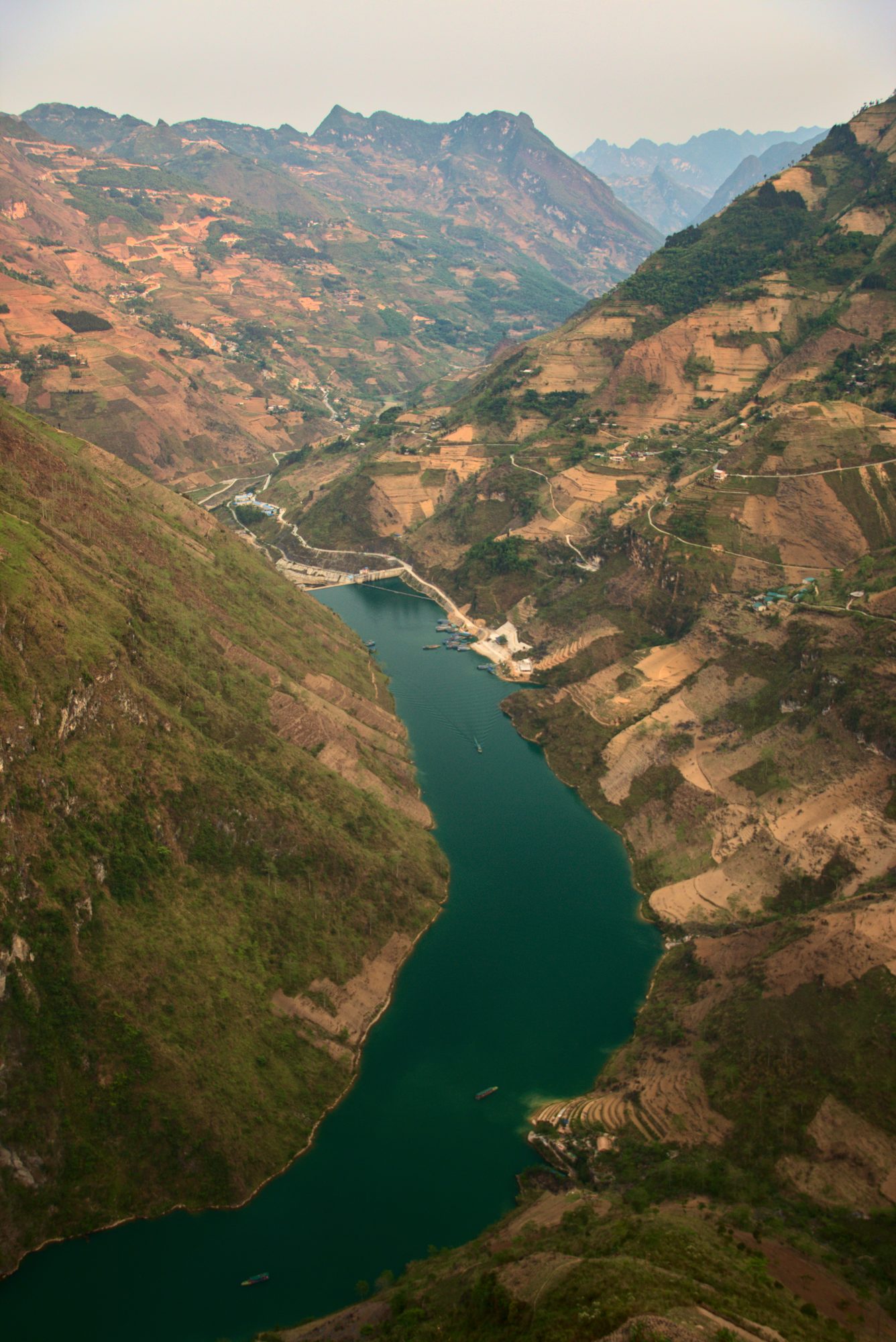
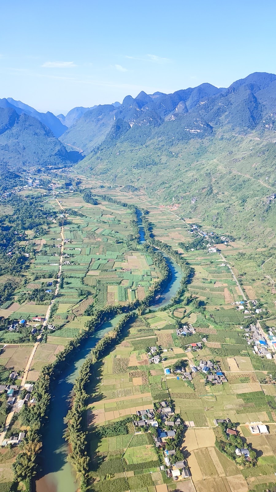
The Nho Quế river valley in the Đồng Văn area — Photo: Benjamin Smith, CC BY-SA 4.0, Wikimedia Commons
Best time of day: mornings are usually cooler, the sun lights up the water in the canyon, and you are not racing to get back before dark. From late autumn, mornings and evenings on the Rocky Plateau are cold (often 5–15 °C in November–December), so bring a warm jacket. See Hà Giang weather month by month to choose your dates.
Viewing the Tu Sản canyon from the pass
Whether or not you take the boat, stop a few times on Mã Pí Lèng to see the canyon from above:
Mã Pí Lèng Panorama: a viewpoint on the pass with a wide view over the Tu Sản canyon and the Nho Quế river, handy for a rest and a drink.
Pull-outs along the pass: many wide spots to stop and look straight down at the green river. Park tight against the mountainside, never on a bend, and don't stop in the road for photos.
The "death rock": a ledge jutting out over the drop, with no railing, strong wind and possibly slippery rock. Stay behind the edge, don't climb out onto it and don't pose dangerously for a photo.
When boats are on the river you will see tiny dots on the water — the easiest way to grasp how deep the canyon is.
The Nho Quế gorge seen from Mã Pí Lèng pass — Photo: MapStaringEnthusiast, CC BY-SA 4.0, Wikimedia Commons
The Mã Pí Lèng Sky Path does not go down to the river
Mã Pí Lèng also has the Sky Path, a free walking trail along the cliff edge that starts near the Happiness Road monument and museum and takes about 2–3 hours. It is a separate walk: the Sky Path does not go down to the Nho Quế river or to the boat dock. The trail is dangerous in rain or fog — only walk it in dry weather, with grippy shoes and enough water. If you want to do both the Sky Path and the boat in one day, leave Đồng Văn very early.
Villages on both sides of the canyon
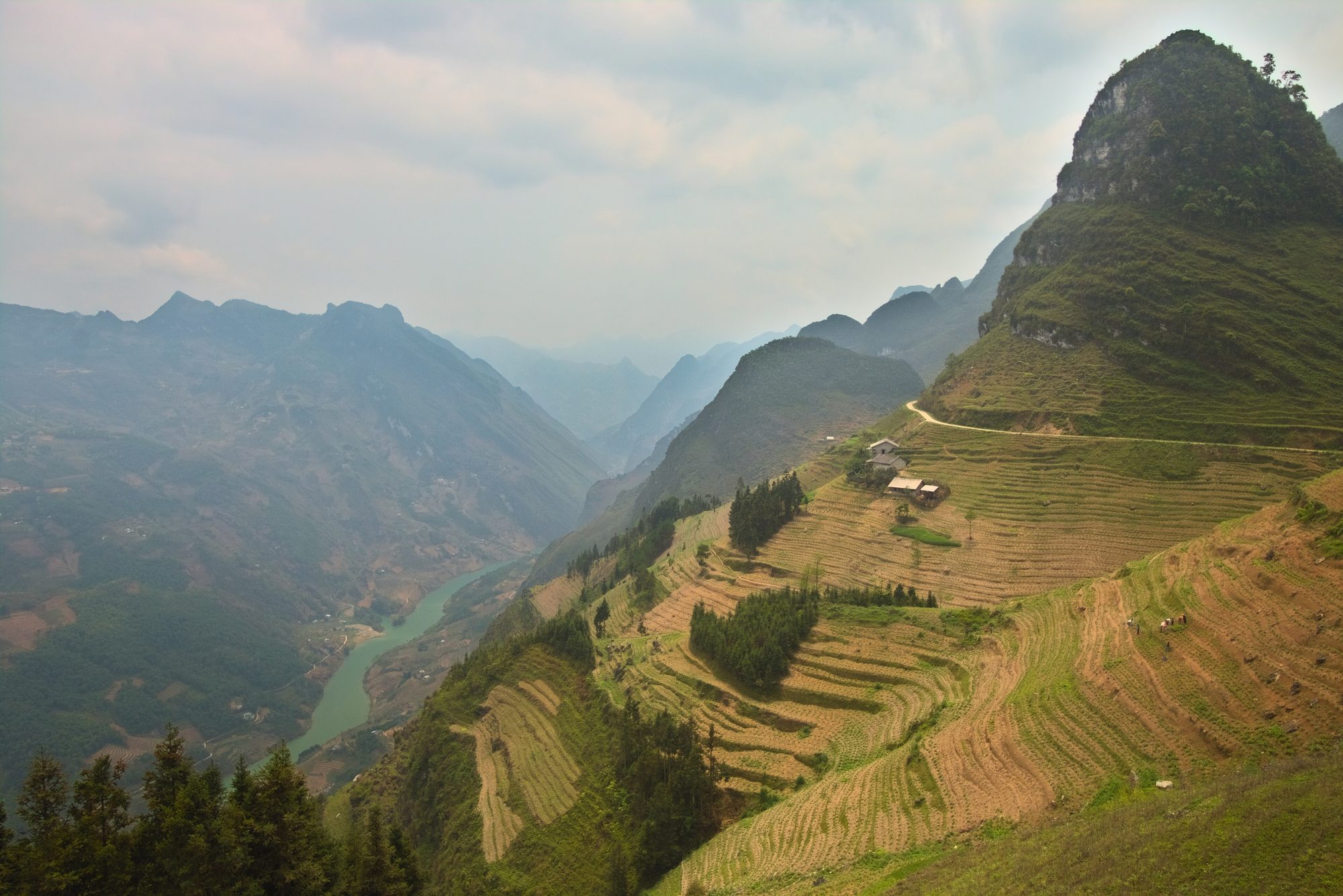
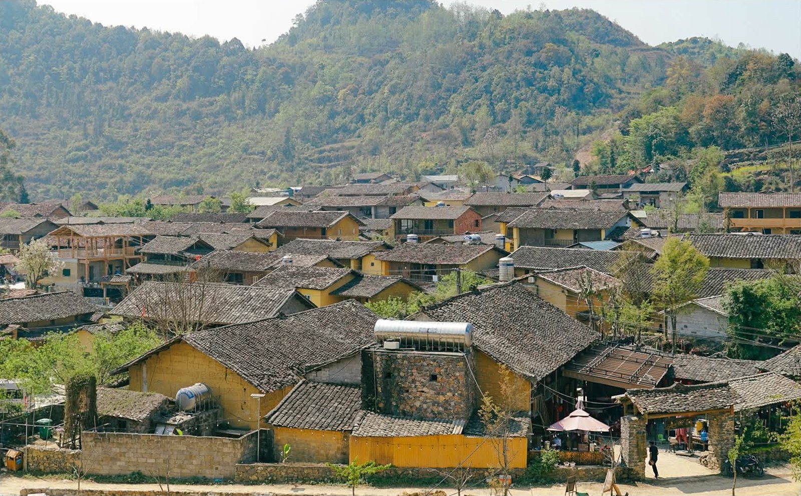
On both sides of the Tu Sản canyon, villages of the ethnic minority communities are scattered across the slopes, with small fields clinging to hillsides that drop almost straight down to the river valley.
A terraced mountainside near Giàng Chu Phìn above the Nho Quế valley — Photo: Benjamin Smith, CC BY-SA 4.0, Wikimedia Commons
When you stop near a village:
Ask before photographing people, especially the elderly and children.
Don't walk into corn fields, vegetable gardens or yards unless invited.
Don't hand out sweets or money to children; if you want to support the community, buy something or eat at a local place.
Ride slowly through villages and give way to people on foot and to livestock.
Safety tips and what to bring
Stay seated on the boat; don't stand up or lean over the side for photos, and follow the boatman's instructions.
Put your phone, camera and papers in a dry bag; keep the camera strap around your wrist.
Wear shoes with grip — no slippery sandals on the dock.
Keep small children close at all times.
Bring water and a windbreaker or jacket; it is cold and windy on the pass but the sun can be strong on the river — add sunscreen and a hat.
Don't fly a drone in strong wind, and respect restricted areas, especially near the border.
No alcohol before the boat trip or before riding on.
If there has been heavy rain in the previous days, ask locals or your accommodation about the road and the river.
Combining it with Mèo Vạc, Đồng Văn and other stages
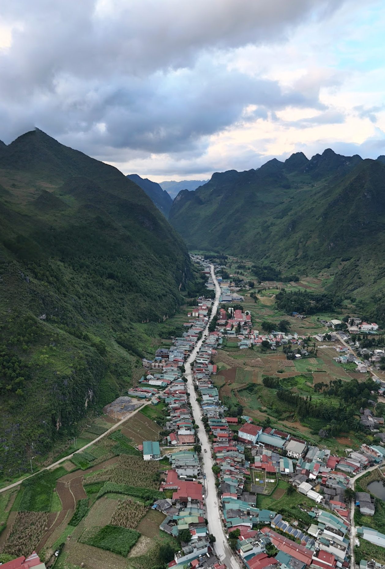
After the boat trip, carry on to Mèo Vạc (around Km185 of the Loop). Mèo Vạc sits in a valley among limestone peaks and is the usual overnight stop after the Mã Pí Lèng stage.
Mèo Vạc town seen from above — Photo: HuangWending18072009, CC0, Wikimedia Commons
Mèo Vạc Sunday market: held every Sunday morning in central Mèo Vạc commune; people arrive from 4–5 a.m., it is busiest around 6:30 and thins out after about 10:00. If you do the boat on Saturday and sleep in Mèo Vạc, the market is right there on Sunday morning — see Mèo Vạc Sunday market.
Khâu Vai love market: held once a year on the 27th day of the 3rd lunar month, now a 2–3-day festival; Khâu Vai is about 20–25 km from Mèo Vạc.
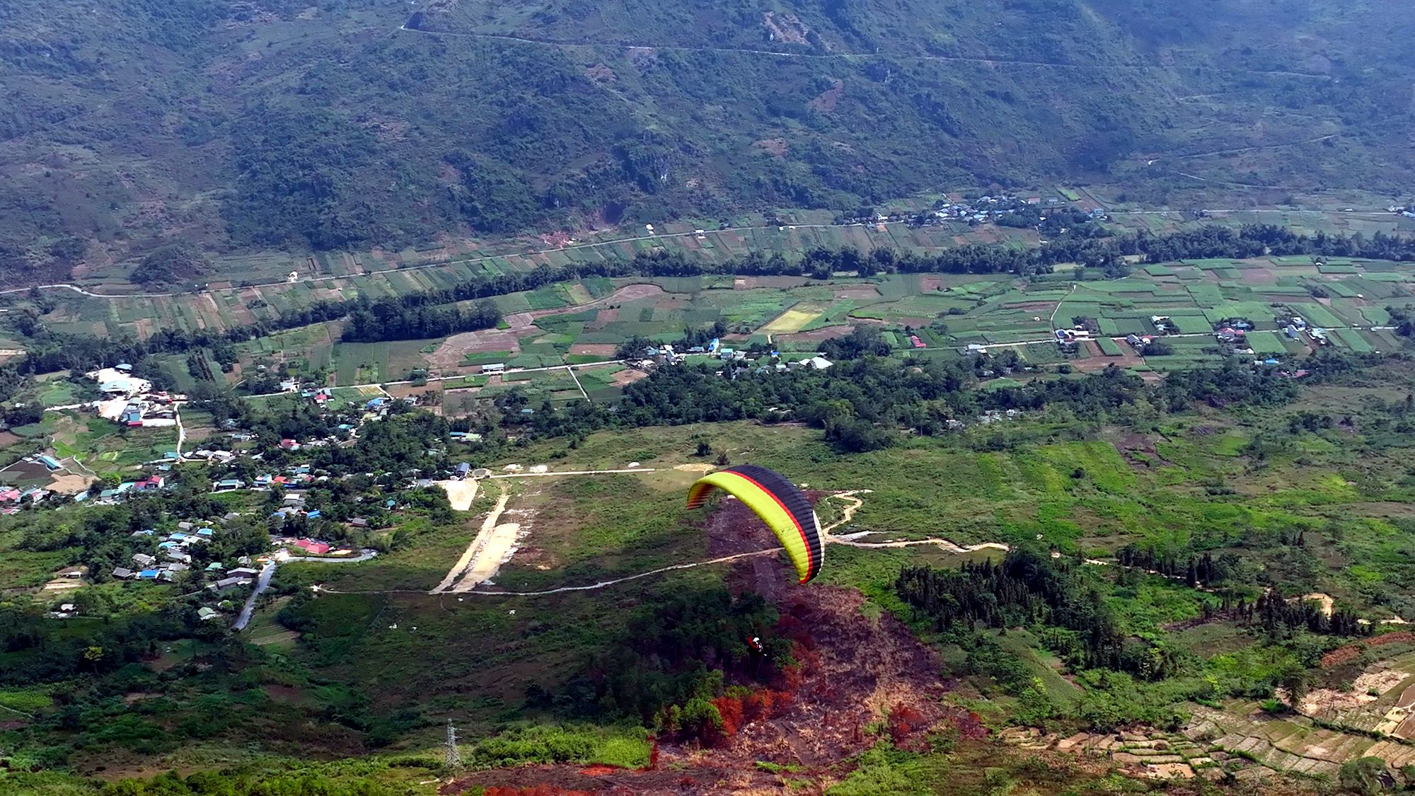
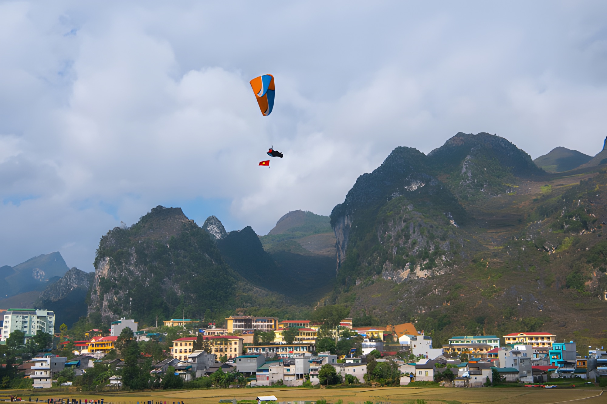
At the Quản Bạ flying site, a standard tandem paragliding flight (9–15 minutes depending on the wind) costs 2,290,000 VND per guest (≈ US$ 91) and a standard paramotor flight (15 minutes) 2,490,000 VND per guest (≈ US$ 99), including GoPro video, insurance, drinking water and pick-up/drop-off within the Quản Bạ area. No flying experience needed. Booking online requires no deposit and no prepayment — you pay at check-in before the flight, and bad weather means free rescheduling.
Frequently asked questions
How much is a Nho Quế boat ticket, and do I need to book?
About 150,000 VND per adult (July 2026), insurance included; prices may change. Tickets are sold at the office below Tràng Hương bridge, no booking needed; on holidays and peak-season weekends, arrive early.
Can non-swimmers take the boat?
Yes. Life jackets are compulsory from the moment you board and may only come off during the roughly 15-minute stop in the canyon. Stay seated and follow the boatman.
Is the Tà Làng dock still open?
According to an August 2026 update, the Tà Làng dock (the steep, winding road from the Đồng Văn side) no longer takes visitors. Ask your accommodation before you go and use the Pả Vi – Tràng Hương bridge route.
Is it better to go in the morning or the afternoon?
Mornings are usually cooler, with nicer light and less rush. If you go in the afternoon, be at the ticket office before about 16:00 so you have time to get back to QL4C before dark.
Does the Mã Pí Lèng Sky Path go down to the Nho Quế river?
No. The Sky Path is a walking trail along the cliffs on the pass. For the boat, carry on along QL4C to Pả Vi and turn down to Tràng Hương bridge.
Cover photo: the Tu Sản canyon with boats on the Nho Quế river, seen from Mã Pí Lèng — Photo: NKSTTSSHNVN, CC BY-SA 4.0, Wikimedia Commons
Book a flight:book online — no deposit, free cancellation
Bắc Sum Pass or Quản Bạ? A side-by-side look at the two flying sites on the QL4C near Hà Giang city: distance, landing field, valley width, paragliding and paramotor, a flying morning at Quản Bạ, getting there and fitting the flight into the Hà Giang Loop…
Quản Bạ or Đồng Văn? An honest comparison of our two flying sites on the Hà Giang Loop: location, getting there, scenery, paragliding vs paramotor, what a flying session looks like, wind and schedule, price, and how to fly both…
The Chín Khoanh slope is a stack of hairpin bends on QL4C between Phố Cáo and Sủng Là, about 18 km past Yên Minh and 27 km before Đồng Văn: why it's called "nine coils", the best viewpoint, how to stop safely, how it differs from Thẩm Mã and what to see nearby…
A practical guide to the Mã Pí Lèng Sky Path, the cliff-edge walking trail above the Nho Quế River: the trailhead at the Youth Volunteers monument, the route section by section, the death rock closure (October 2026), what to wear, when to go and how to pair it with a Tu Sản canyon boat trip…
A guide to Lô Lô Chải, the Lô Lô village at the foot of the Lũng Cú flag tower: rammed-earth houses, costume and bronze drums, Café Cực Bắc, homestays, the road from Đồng Văn, 2026–2027 traffic rules and village etiquette…
The Yên Minh pine forest lines Highway 4C about 7–8 km before Yên Minh town on the Quản Bạ side: exact location, commune after the 2025 merger, best light, how to stop safely, what's nearby and how to fit it into a 3- or 4-day Loop…