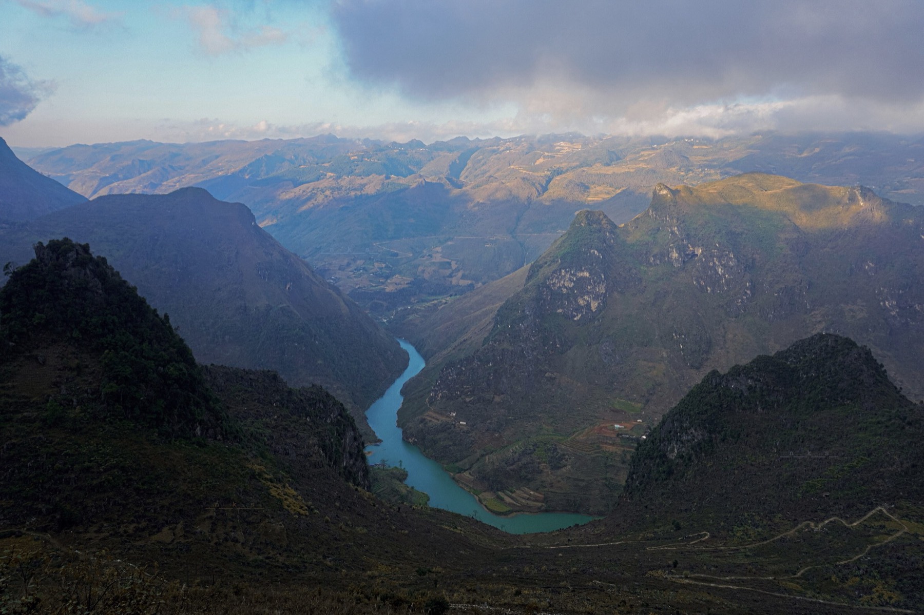
Hà Giang buckwheat flower season 2026: where to see it, the festival and the view from above
Hà Giang's buckwheat flowers bloom from about October to early December, peaking in late October and November. The 12th festival in 2026, where to see the flowers along the Loop, photo fees and etiquette, and paragliding over the flower season.
Ms. Judy · · 17 min read
Hà Giang's buckwheat flowers bloom from about October to early December, peaking in late October and November; in 2026 the 12th Buckwheat Flower Festival, "Echoes of the Stone Land" (Âm vang miền đá), opened on the evening of 25 October in Đồng Văn commune and runs until the end of December.
Flower season is also when Hà Giang's autumn skies are dry and clear, a great time to ride the Hà Giang Loop. This guide covers when the flowers bloom, where to see them in the order you meet them on the road, how to behave at the gardens that charge a photo fee, and how to see the valleys in bloom from above: paragliding or paramotoring at Quản Bạ, or paragliding at Đồng Văn by appointment.
A note on place names: since 1 July 2025 Hà Giang province has been merged into Tuyên Quang province and districts no longer exist. The old Đồng Văn town is now part of Đồng Văn commune, and Sủng Là now belongs to Sà Phìn commune, Tuyên Quang province. Travellers and tourist maps still call the whole area "Hà Giang", and so does this article.
What is buckwheat?
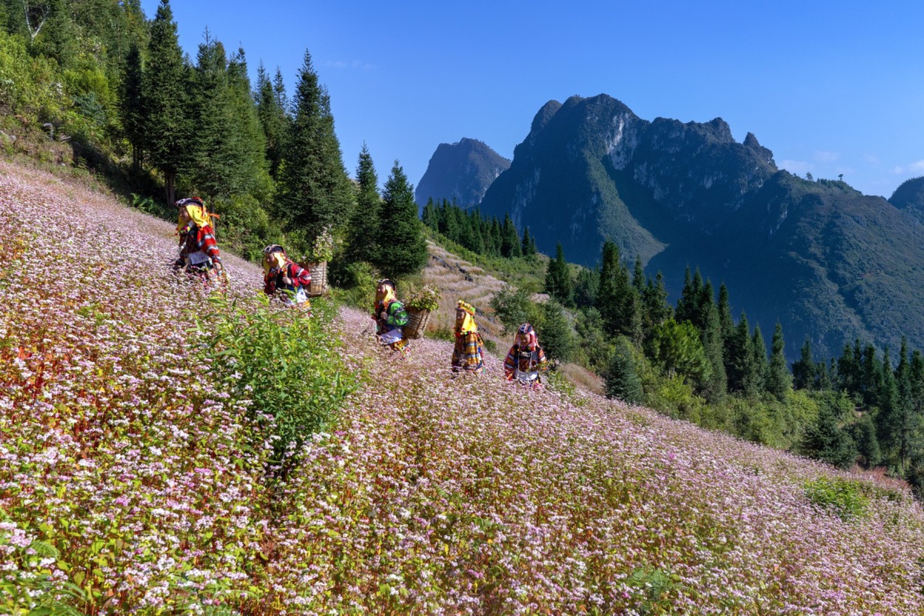
A buckwheat hillside below the limestone peaks — Photo: VnExpress
Keep reading
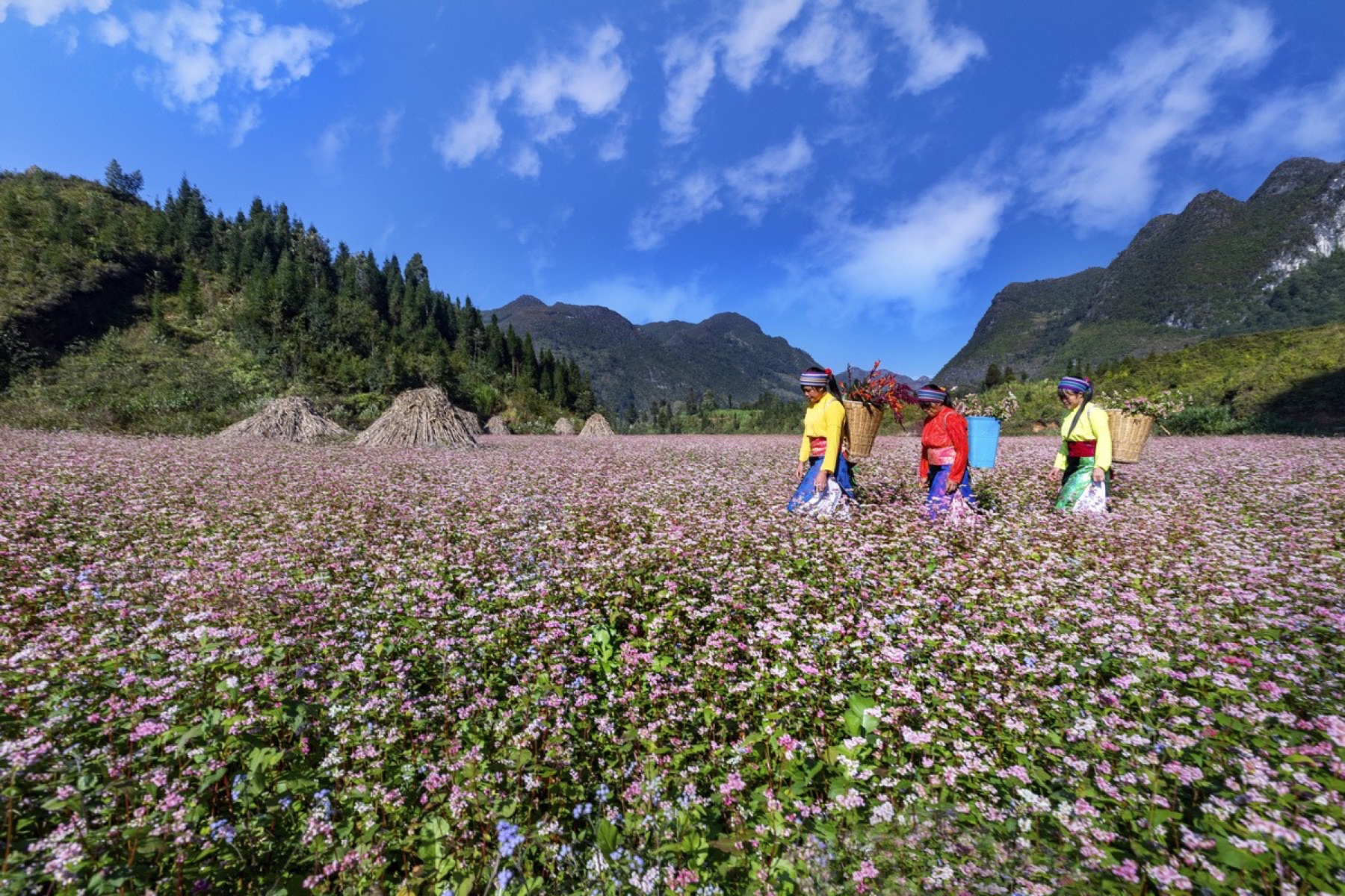
Buckwheat (tam giác mạch in Vietnamese, literally "triangle grain") is a familiar food crop for the highland communities; the name comes from its three-sided seed. The flowers are small and grow in clusters, and they change colour over time: white or pale pink when they first open, then deep pink and finally purple. So the same field looks different from one week to the next.
Families usually sow buckwheat on their hillside plots after the corn harvest, in the pockets of soil between the rocks. The grain is eaten as food; the version visitors meet most often is buckwheat cake, sold at markets and around the Đồng Văn old quarter.
Since the flowers began drawing visitors, many families have also planted roadside gardens just for photos, with paths, little huts and gates, and they charge a small fee. Alongside them are the fields grown for grain, which are not meant for visitors to walk into. Telling the two apart helps you behave well (see the photo-fee section below).
Flower season 2026: when does it bloom, and when is it best?
Stage
When (approx.)
What you see
Early season
October (Lũng Cú can peak from early October)
White-pink flowers, many fields not yet fully covered
Peak
Late October – November
Fields fully covered in bright pink
Late season
Late November – early December
Flowers turn deep pink and purple, start to fade
The exact timing depends on when each place sowed and on the weather each year, so different areas bloom a few weeks apart. In 2026 the Lũng Cú area has about 70 ha of buckwheat and bloomed early, from the start of October; if you come in late October or November, ask your homestay which fields still look good. The whole Rocky Plateau has around 400 ha of flowers this year, so somewhere is always in bloom during the season.
October to December is also the dry season, with clearer skies and less rain than summer. Month-by-month details are in Hà Giang weather by month.
The 12th Buckwheat Flower Festival – 2026
The 12th Buckwheat Flower Festival in 2026 has the theme "Echoes of the Stone Land" (Âm vang miền đá). The opening ceremony took place at 20:00 on 25 October 2026 at Youth Square (Quảng trường Thanh niên), Đồng Văn commune. Festival activities run until the end of December 2026, across about 400 ha of buckwheat on the Rocky Plateau.
The schedule of the smaller events can change, so ask your homestay or check local announcements when you arrive. During the festival season, evenings in the Đồng Văn old quarter often have extra performances and food stalls; see Đồng Văn old quarter, night market and Sunday market.
A festival also means crowds, especially at weekends in late October and November. If you want to sleep in Đồng Văn, book early and consider coming on a weekday.
Where to see buckwheat on the Hà Giang Loop
The spots below are in the order you reach them on the usual direction of the Loop: Hà Giang city → Quản Bạ → Yên Minh → Đồng Văn → Mèo Vạc.
Quản Bạ (around Km45)
Around the Tam Sơn valley, near the Fairy Twin Mountains (núi đôi Cô Tiên), there are a few flower gardens along highway QL4C. This is the first place on the Loop where you may see buckwheat, though the area is much smaller than around Đồng Văn. Quản Bạ's strength is its flying site: you can take photos on the ground and then see the whole valley from the air on the same morning or afternoon. More in the Quản Bạ stage.
Yên Minh – the road up to Đồng Văn
The road through the valleys between Yên Minh and Đồng Văn passes buckwheat plots mixed in with corn fields and rock pockets. Here the flowers usually grow in small patches on the hillsides. Ride slowly and stop only where the shoulder is wide, never in the middle of a bend.
Sủng Là and the House of Pao
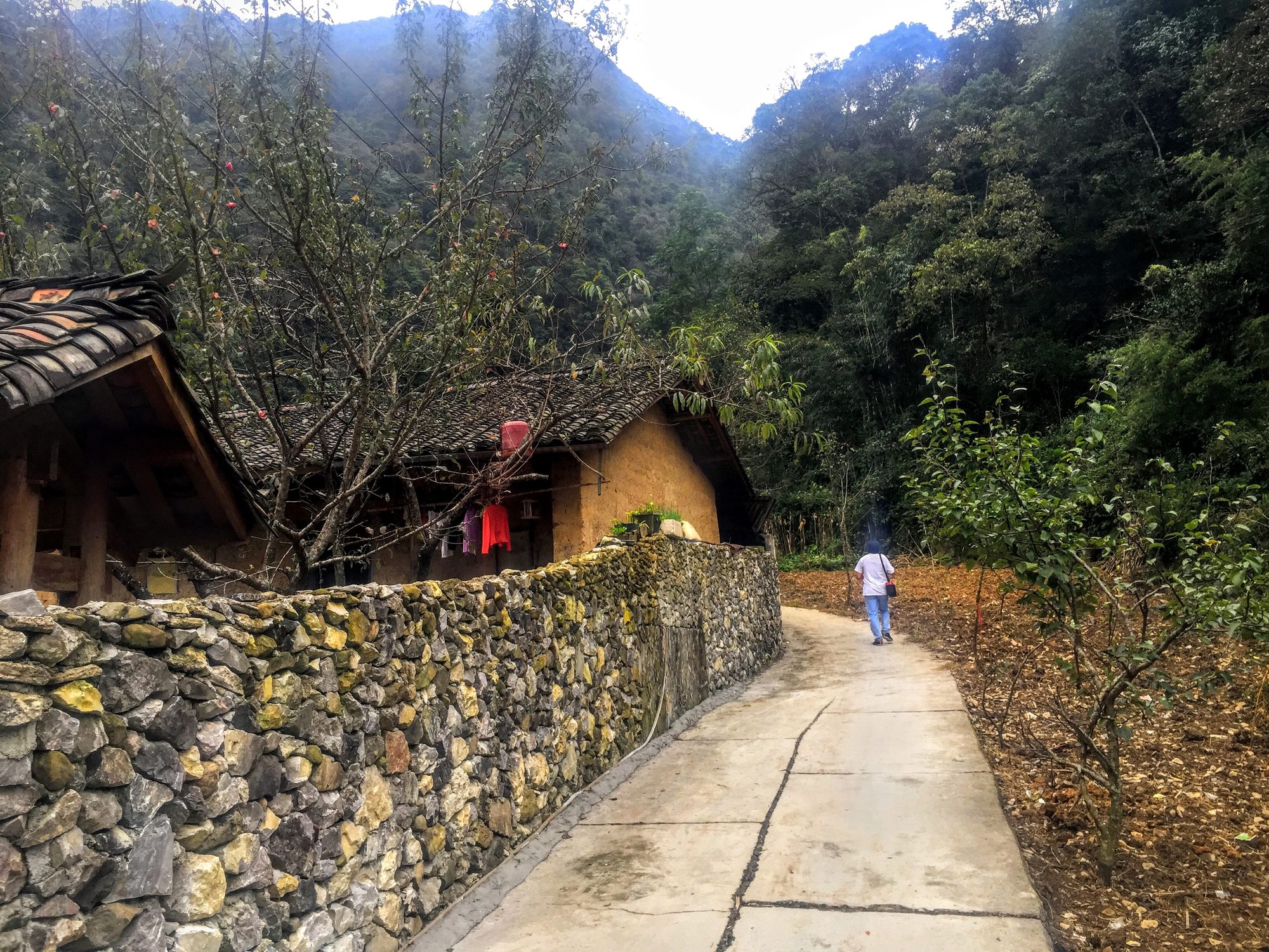
A lane past a stone wall and a rammed-earth house in Sủng Là — Photo: trungydang, CC BY 3.0, Wikimedia Commons
Sủng Là, about 20 km from central Đồng Văn, is known for Lũng Cẩm village and the House of Pao (Nhà của Pao), a rammed-earth house that was used as a film set. Entry to the House of Pao is about 10,000 VND. In flower season there are buckwheat gardens around the village, next to stone walls and earthen houses, which is exactly the scene many people come for. Sủng Là is only about 7–10 km from the Vương family palace at Sà Phìn, so the two are often visited together.
Around Đồng Văn and Sà Phìn
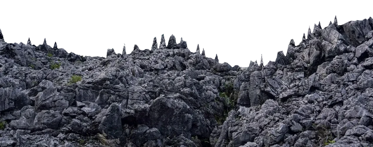
"Cat's ear" limestone on the Đồng Văn Rocky Plateau — Photo: NKSTTSSHNVN, CC BY-SA 4.0, Wikimedia Commons
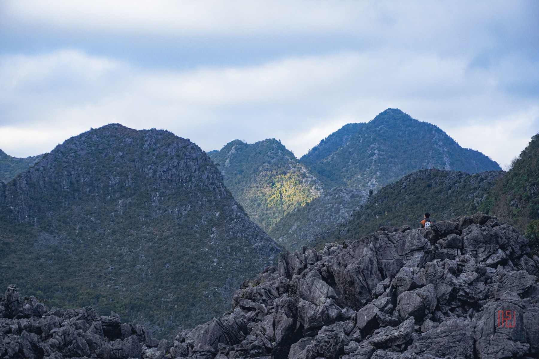
Đồng Văn (around Km150) is the heart of flower season and of this year's festival. Here buckwheat grows against the grey stone of the Đồng Văn Karst Plateau UNESCO Global Geopark, so the pink and purple really stand out. It looks very different from the valleys: no rice terraces, only stone, corn, buckwheat and clouds.
On the way from Đồng Văn up to Lũng Cú you pass Sà Phìn, home of the Vương family palace (the "Hmong King's Palace"). Morning light is best for the gate and the avenue of fir trees. Read more in the Hmong King's Palace at Sà Phìn and the Đồng Văn stage guide.
Lũng Cú and Lô Lô Chải
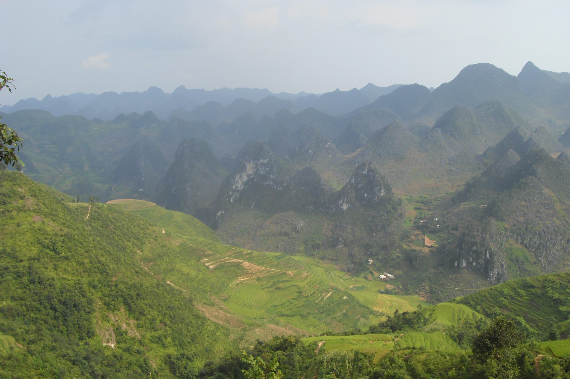
The Đồng Văn karst massif seen from the road to Lũng Cú — Photo: Jaybeelarsay, CC BY-SA 3.0, Wikimedia Commons
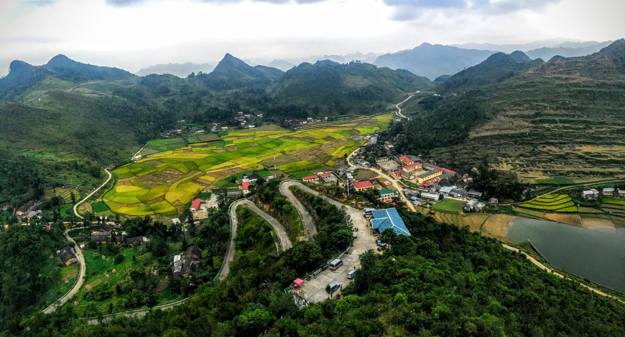
The turn-off to Lũng Cú is about 2 km from Đồng Văn, and Lũng Cú is about 24 km from Đồng Văn. The road runs between limestone massifs, with plenty of places to stop and look down into the valleys. In 2026 the Lũng Cú area has about 70 ha of buckwheat and was the first in the region to bloom, peaking from early October, so the later in the season you go, the more you should check first.
Lô Lô Chải is a Lô Lô village at the foot of the Lũng Cú flag tower, with rammed-earth houses and stone walls. In flower season, the fields around the village and below Dragon Mountain are where many people stop for photos before or after climbing the flag tower.
The valley and village at Lũng Cú seen from above — Photo: trungydang, CC BY 3.0, Wikimedia Commons
If you go to Lũng Cú, leave Đồng Văn early: mornings are quieter, the light is softer, and you have time to get back before dark. More in the Lũng Cú stage.
Mèo Vạc and the road to Du Già
After the Mã Pí Lèng pass, the Mèo Vạc area and the road to Du Già see fewer visitors. Flowers grow scattered across the hillsides with few ready-made gardens, which suits people who like wilder scenery and slow travel.
Photo fees and garden etiquette
Flower season is busy, and the way you behave directly affects the people who grow the flowers. A few simple rules:
Gardens set up for visitors usually charge a small fee. There is usually someone at the entrance, a sign or a hut. Fees vary between gardens and can change during the season, so ask before you walk in, carry small notes, and pay the person who looks after the garden.
Fields grown for grain are for looking at from the roadside. If there's no path, nobody keeping watch and no sign inviting you in, it's a family's field grown for the harvest. Don't walk into the middle of it for a photo.
Don't trample and don't pick. Stay on the paths. No photo is worth a patch of someone's crop crushed underfoot.
Ask before photographing people. People working their fields and children in traditional clothes are not models. Ask, and respect a no. If someone offers a photo for money, that's an agreement between the two of you; be clear about it beforehand.
Park tidily. Don't stop in the road or on a bend for photos. In flower season QL4C carries plenty of buses, motorbikes and trucks.
Take your rubbish with you. Bottles, cake wrappers and plastic bags blown into the fields stay on the rocky plateau for a very long time.
Seeing flower season from above
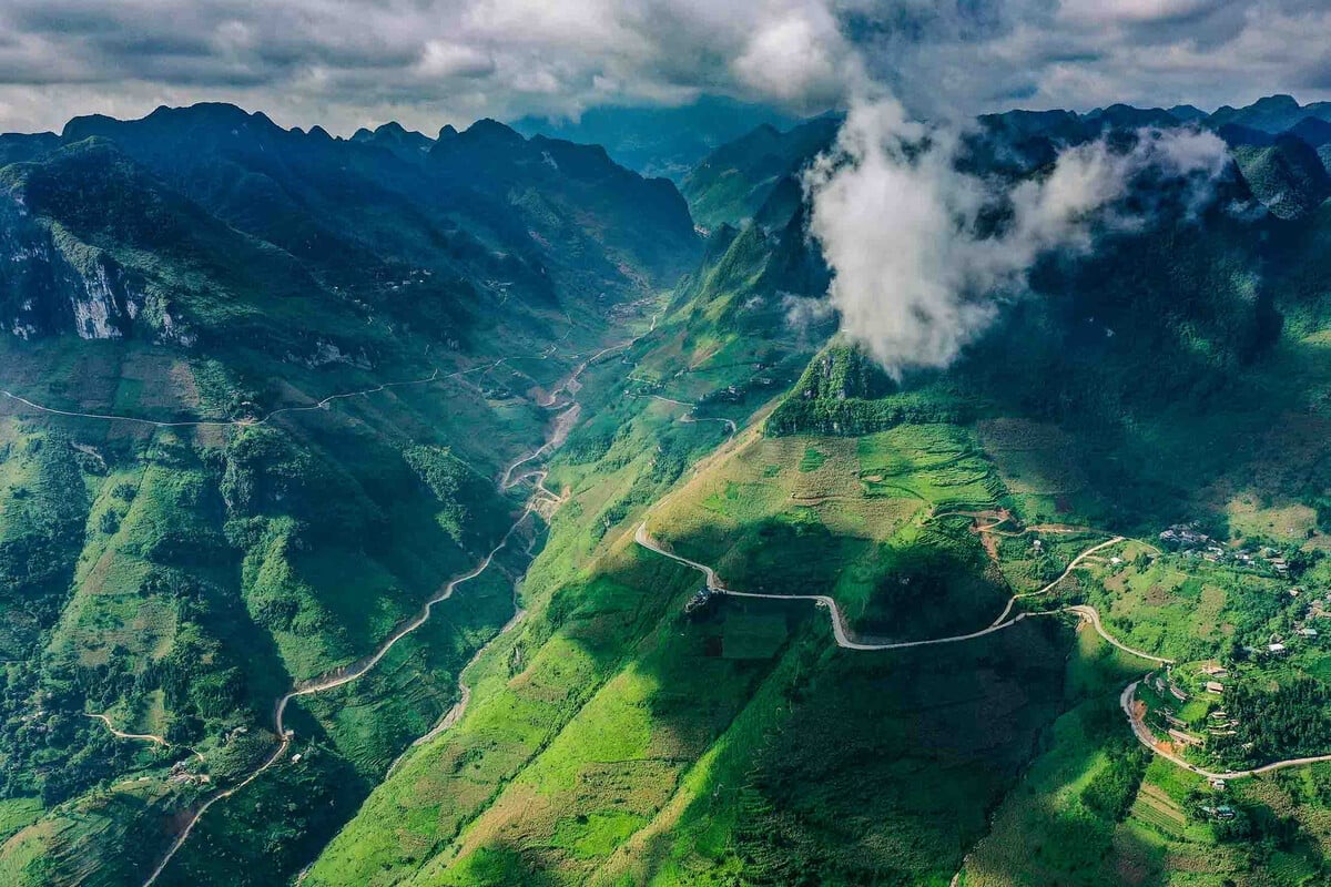
From the ground you see individual clumps of flowers. From the air you see how the whole landscape fits together: fields, hillside plots, roads winding around the mountains, the river and the limestone massifs. The Mebayluon flying team flies at two places on the Hà Giang Loop. An honest note: buckwheat grows in patches, so from the air you see splashes of colour among the fields and rocks, not an entire valley turned pink.
Quản Bạ: paragliding and paramotor, flying every day
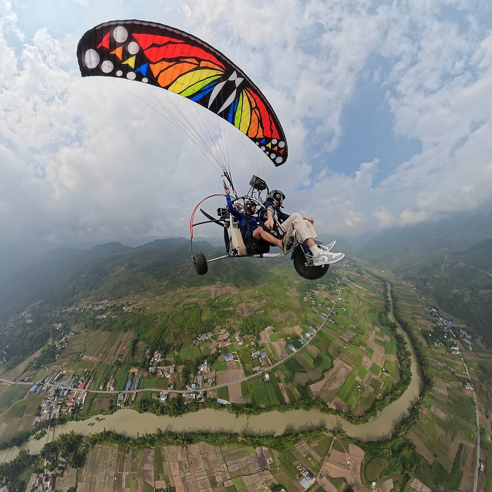
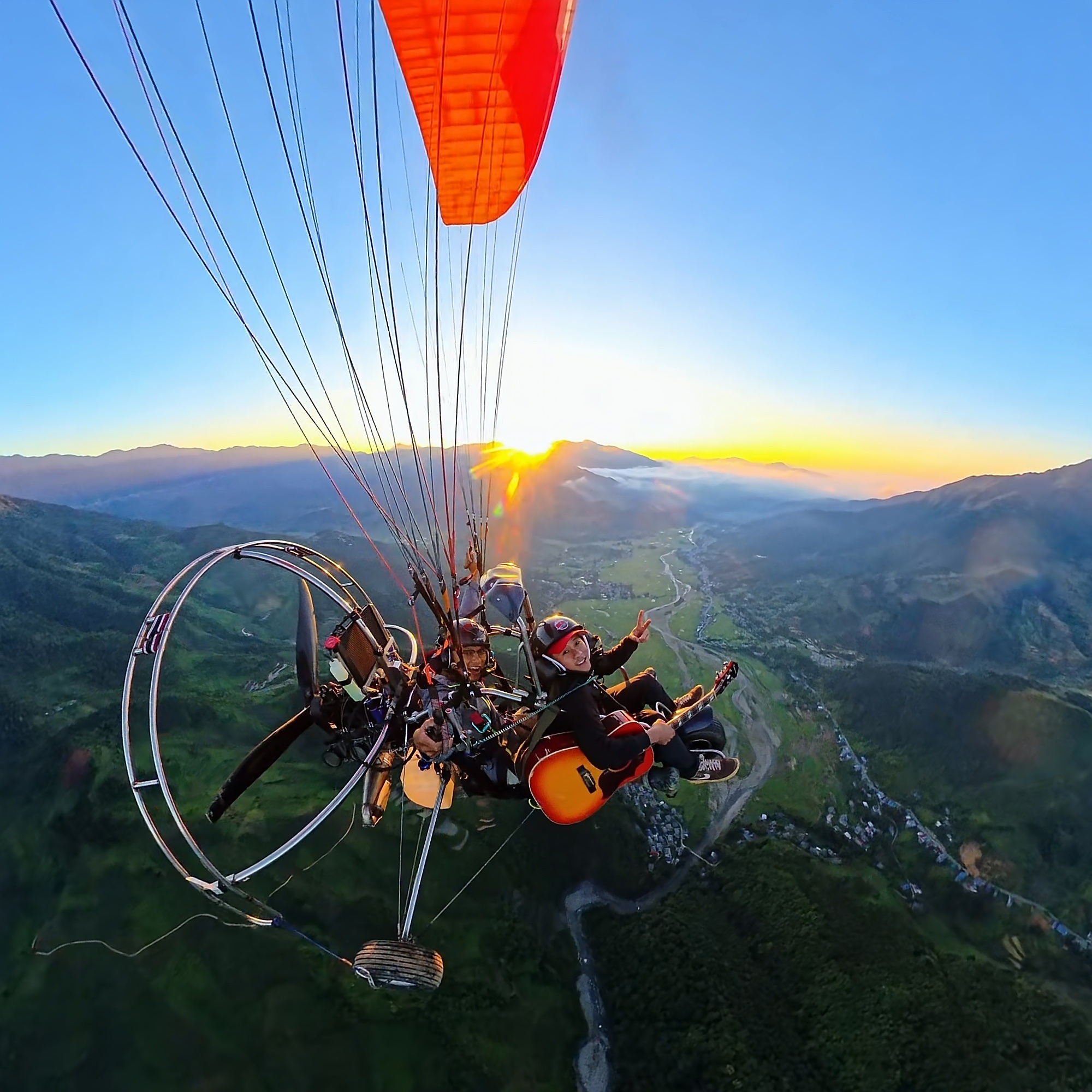
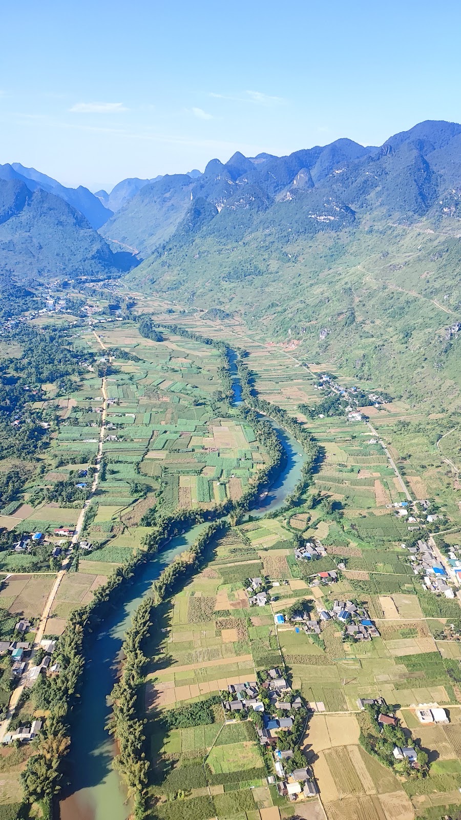
A paramotor flight above the Miện river and the Quản Bạ fields
The Quản Bạ flying site is at about Km45, roughly 45 km or 1 h 15 min from Hà Giang city on QL4C. The 2026 flying season opened on 15 October, with flights every day from 06:30 to 18:30 whenever wind and visibility are safe. From the air you see the Fairy Twin Mountains, Quản Bạ Heaven's Gate, "cat's ear" limestone, corn fields and the Miện river.
Flight
Time in the air
Price per guest
Tandem paragliding (PG), standard
9–15 min (wind dependent)
2,290,000 VND (≈ US$ 91)
Tandem paragliding (PG), sunset
9–15 min
2,990,000 VND (≈ US$ 119)
Paramotor (PPG), standard
15 min
2,490,000 VND (≈ US$ 99)
PPG advanced: cloud chasing, sunrise, sunset
22–25 min
3,390,000 VND (≈ US$ 135)
Tandem paragliding launches on foot from a ridge at about 950 m, glides out over the valley and lands on the flat valley floor at about 450 m in the Miện river valley.
Paramotor takes off from the flat ground beside the Miện river and flies lower, closer to the fields, which is great for seeing the detail of the farmland and villages. Sunrise and cloud-chasing flights are paramotor only; paragliding has no cloud-chasing option.
If conditions don't allow a special flight, it becomes a standard PG/PPG flight.
The price includes GoPro video (ask your pilot), insurance, drinking water and free pick-up and drop-off within the Quản Bạ area. You can add a drone (flycam) or a 360° camera for 400,000 VND per guest each; see drone and 360° camera on your flight. A car from Hà Giang city is 500,000 VND per 4-seat car per direction.
In November and December the days are short, with sunset around 17:15–17:30, so sunset flights are scheduled earlier than in summer. Read more about sunset paragliding.
Đồng Văn: paragliding by appointment
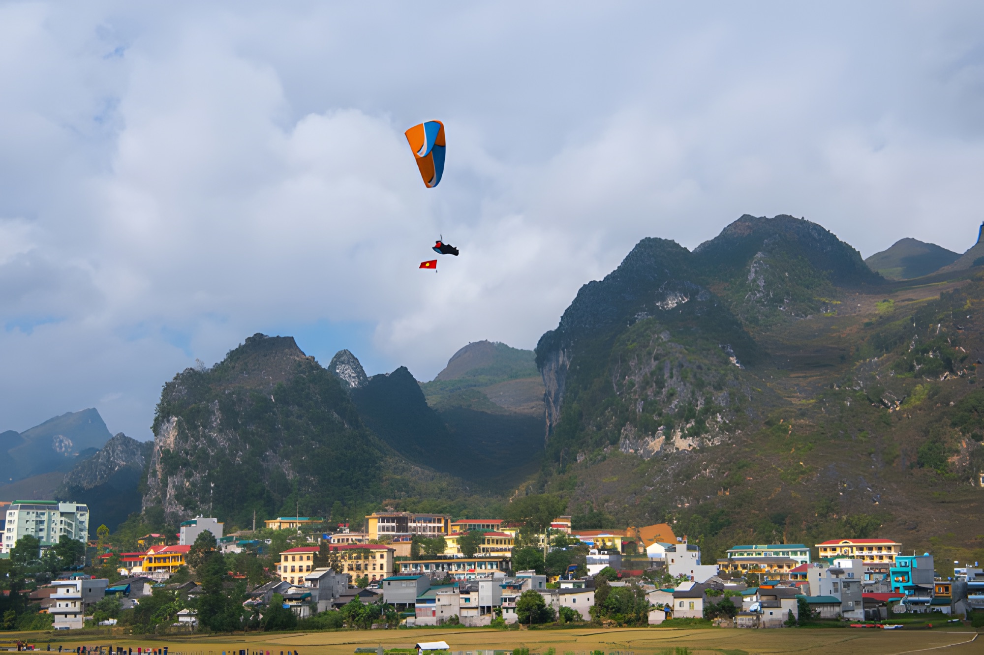
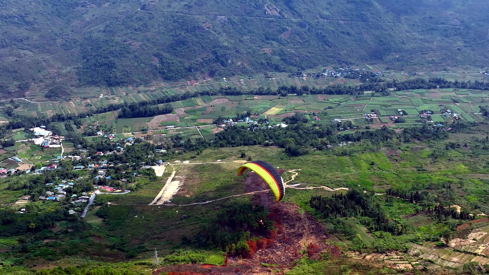
A paraglider above Đồng Văn town among the limestone peaks
At Đồng Văn there is tandem paragliding only, no paramotor. The flight soars over the Đồng Văn old quarter and the Rocky Plateau, then lands in the town. There are no fixed daily slots: the team schedules each group in advance according to the wind, so you need to contact us to book. From the air at this time of year you see grey stone, corn fields, patches of buckwheat and clouds.
Late October and November are busy, so book a few days ahead. There's no deposit and nothing to pay when you book; you pay at check-in on the flying day, before the flight (cash, bank transfer, card or PayPal +3%). The team watches the forecast and confirms your flight time on the morning of the flight; if the weather is bad, you can reschedule for free. You can also check the flying weather forecast yourself. Please be at the site about 30 minutes before your flight.
No experience is needed, and children from 3 years old can fly. Guests over 90 kg, or with a heart condition, pregnancy, recent surgery or epilepsy, please tell the team in advance.
Buckwheat photo tips
Shoot in the morning or late afternoon. The light is softer, the flower colours don't blow out and the limestone has more shape.
Get low. Hold the camera at flower height for a foreground of blossoms and a backdrop of rock.
Wear plain, bold colours such as red, yellow or white to stand out from the pink and purple.
Go on a weekday, and early. The famous gardens are busiest around midday at weekends.
When you fly, the hand-held GoPro captures your moment; a drone or 360° camera gives wide shots of the valley. More ideas in great photos on your paragliding flight.
Weather and packing for flower season
Cold mornings and evenings, sunny middays. In November and December, mornings and evenings on the plateau are often only around 5–15 °C, and Đồng Văn is colder still. Dress in layers and bring a warm jacket and a windproof layer.
Strong highland sun. Bring sunscreen, sunglasses and a hat.
Short days. It gets dark soon after 17:30, so plan to reach your accommodation before nightfall, especially on mountain passes.
Seas of clouds are most likely on early mornings after a cool, humid night; if you want to fly among clouds, choose an early-morning paramotor flight.
Book accommodation early. At weekends in flower and festival season, rooms in Đồng Văn go fast.
Carry small cash for garden fees, entrance tickets and food stalls.
Suggested 3-day buckwheat itinerary
Day 1: Hà Giang city → Quản Bạ. Visit the flower gardens near the Twin Mountains, go paragliding or paramotoring; continue to Yên Minh in the afternoon.
Day 2: Yên Minh → Sủng Là (House of Pao) → Sà Phìn → Đồng Văn. Stop at the roadside flower fields; in the evening stroll the old quarter and catch a festival programme if there is one.
Day 3: Early morning up to Lũng Cú and Lô Lô Chải, back to Đồng Văn, then over Mã Pí Lèng to Mèo Vạc, or head back.
With more time, the 4-day, 3-night Hà Giang Loop itinerary lets you travel more slowly and add a night in Đồng Văn so you can fly there by appointment. Flower season also means heavy traffic; set off early each day to beat the crowds at photo spots and catch the best light.
Frequently asked questions
When is the best month to see buckwheat in Hà Giang?
Late October to November is when the flowers peak in many places. In 2026 Lũng Cú peaked early, from the start of October. Timing shifts from year to year and area to area, so ask your homestay before you go.
When and where is the 2026 buckwheat festival?
The 12th festival, themed "Echoes of the Stone Land" (Âm vang miền đá), opened at 20:00 on 25 October 2026 at Youth Square, Đồng Văn commune, with activities running until the end of December 2026.
Do I have to pay to enter the flower gardens?
Gardens planted for visitors' photos usually charge a small fee; ask before you go in. Fields that families grow for grain should only be admired from the roadside.
Can I go paragliding to see the buckwheat?
Yes. At Quản Bạ you can paraglide or paramotor every day from 06:30 to 18:30 when the weather is safe. At Đồng Văn there is tandem paragliding by appointment. From the air, the flowers show up as patches among the corn fields and rocks.
Is it cold in flower season?
Middays are usually sunny, but mornings and evenings are cold, often only 5–15 °C, and colder in Đồng Văn. Bring a warm jacket, especially if you ride a motorbike or fly early in the morning.
Cover photo: VnExpress
Book a flight:book online — no deposit, free cancellation
Christmas and New Year (24/12/2026 – 1/1/2027) is peak time on the Hà Giang Loop. Welcome the year in the air at Quản Bạ with cloud-chasing or sunrise paramotor and sunset paragliding, plus 3- and 4-day plans, group booking, gift ideas, warm clothing and winter road safety tips…
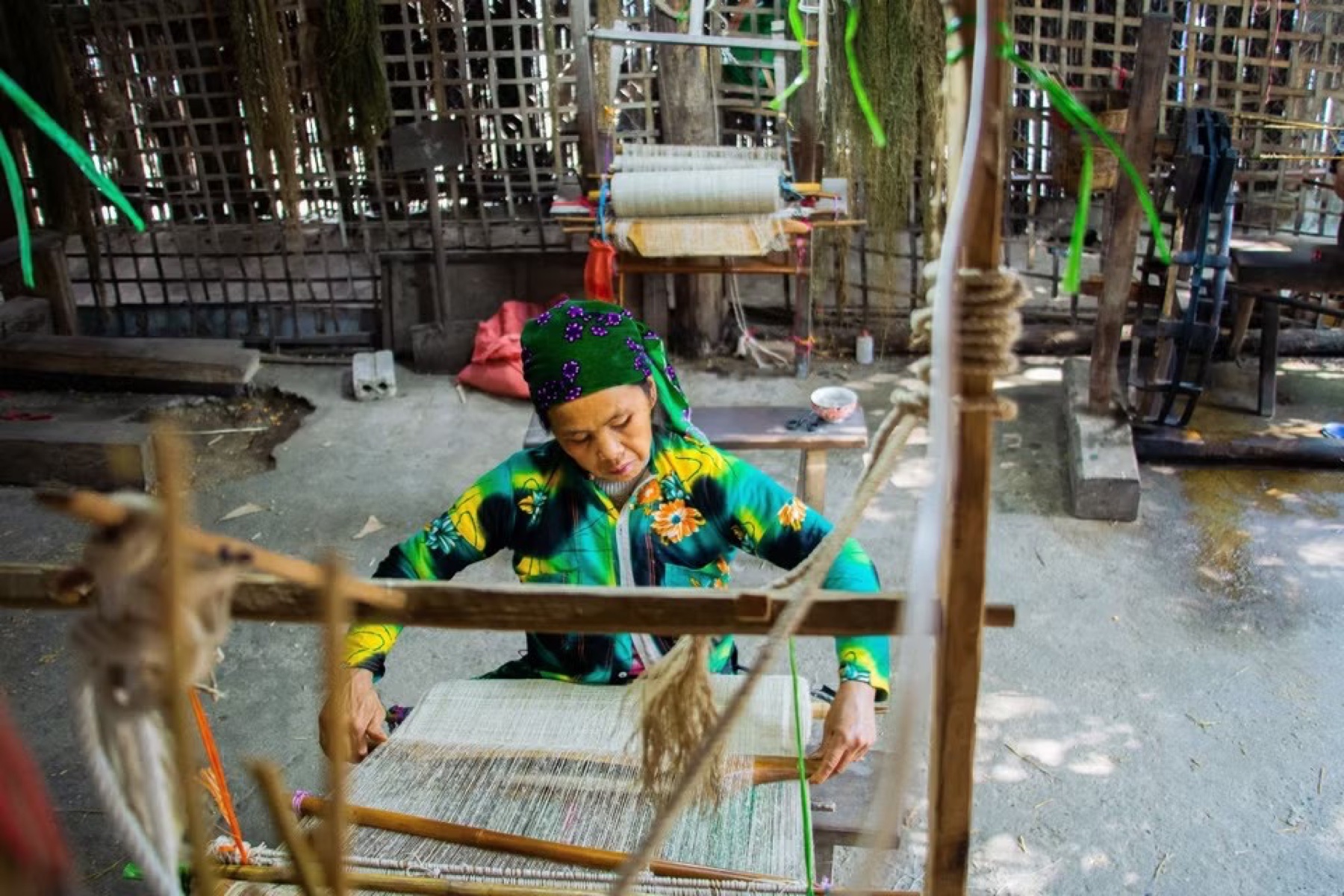
Visit the Lùng Tám linen weaving cooperative in the Quản Bạ valley: watch Hmong women spin linen, weave cloth, draw patterns in beeswax and dye with indigo, then try it yourself — an easy pairing with a paragliding flight…
A day-by-day 4-day, 3-night Hà Giang Loop itinerary: paragliding in Quản Bạ, the new Cán Tỷ – Yên Minh road, the Hmong King's Palace, Lũng Cú, Đồng Văn old quarter, Mã Pí Lèng, a Nho Quế river boat, Mèo Vạc and Du Già, plus Sunday markets and a 3-day version…
Only have 2 days? A realistic Hà Giang Loop plan: fly in Quản Bạ on the first morning, take the new Cán Tỷ – Yên Minh road, spend the night in Đồng Văn, see Mã Pí Lèng at dawn and ride back — plus what to skip and two 3-day options…
Bắc Sum Pass or Quản Bạ? A side-by-side look at the two flying sites on the QL4C near Hà Giang city: distance, landing field, valley width, paragliding and paramotor, a flying morning at Quản Bạ, getting there and fitting the flight into the Hà Giang Loop…
Quản Bạ or Đồng Văn? An honest comparison of our two flying sites on the Hà Giang Loop: location, getting there, scenery, paragliding vs paramotor, what a flying session looks like, wind and schedule, price, and how to fly both…