Thẩm Mã Slope, Hà Giang: location, viewpoint, photo tips and etiquette
A guide to the Thẩm Mã slope on QL4C between Yên Minh and Đồng Văn: where it is, why it's called the "horse-testing" slope, where to stop and shoot safely, how to treat the children with flower baskets, when to go, and how to combine it with Phố Cáo, Chín Khoanh, Pao's House and the Hmong King Palace.
Ms. Judy · · 17 min read
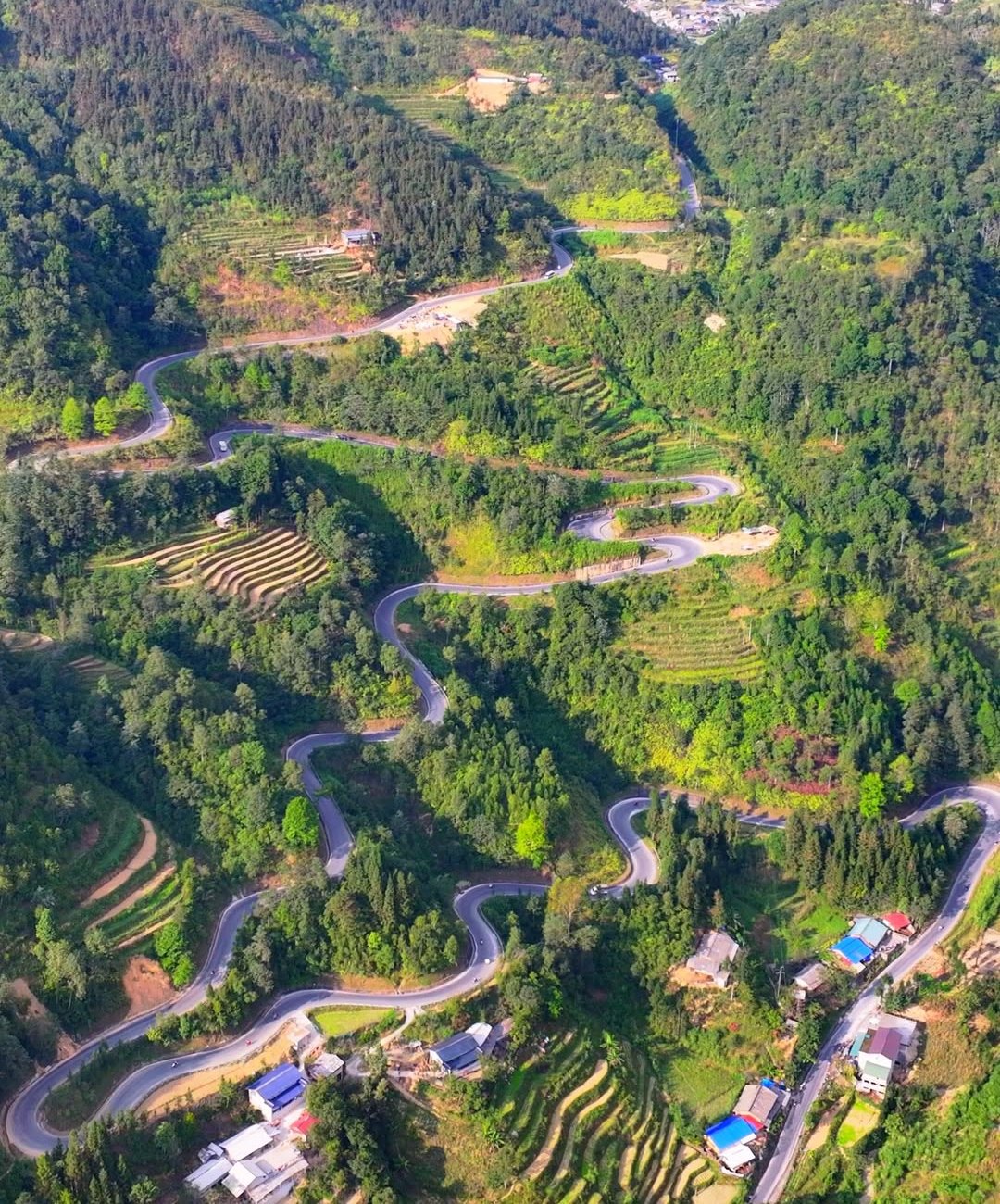
The Thẩm Mã slope (Thẩm Mã pass) is a run of hairpin bends on National Road 4C between Yên Minh and Đồng Văn, roughly 105–110 km from the Km0 marker in Hà Giang city; the best viewpoint is at the top, where you look down on the whole road coiling through the valley.
For most Hà Giang Loop riders, Thẩm Mã is the first place where the road shows itself in full: from above you can pick out every bend and every tiny motorbike crawling up the mountainside. It is not a ticketed attraction but a working stretch of national road, so where you stop and how you treat the local people matter as much as the view. This guide covers where the slope is, where to stop, how to photograph it, when to go, and how to combine Thẩm Mã with Phố Cáo, the Chín Khoanh slope, Pao's House and the Hmong King Palace on the way up to Đồng Văn.
Quick facts
Info
Details (approximate)
Location
National Road 4C, on the old Yên Minh – Đồng Văn boundary; now in Phố Bảng commune, Tuyên Quang province
From Hà Giang city
About 105–110 km from the Km0 marker, over 3 hours by road
Keep reading
From Yên Minh
About 10–15 km; Yên Minh to Phố Cáo is about 20 km, around 45 minutes
Length of the slope
About 5 km with nine bends (some sources say longer)
Viewpoint
The top of the slope, looking down on the bends
Time to allow
20–40 minutes
Best seasons
Oct–Nov (buckwheat flowers), Jan–Mar (peach and plum blossom); lush green in summer
Avoid
Stopping on the bends; riding at night; peak hours over Tết
Easy to combine with
Phố Cáo, Chín Khoanh slope, Sủng Là – Pao's House, Hmong King Palace, Đồng Văn old quarter
Where is the Thẩm Mã slope on the Hà Giang Loop?
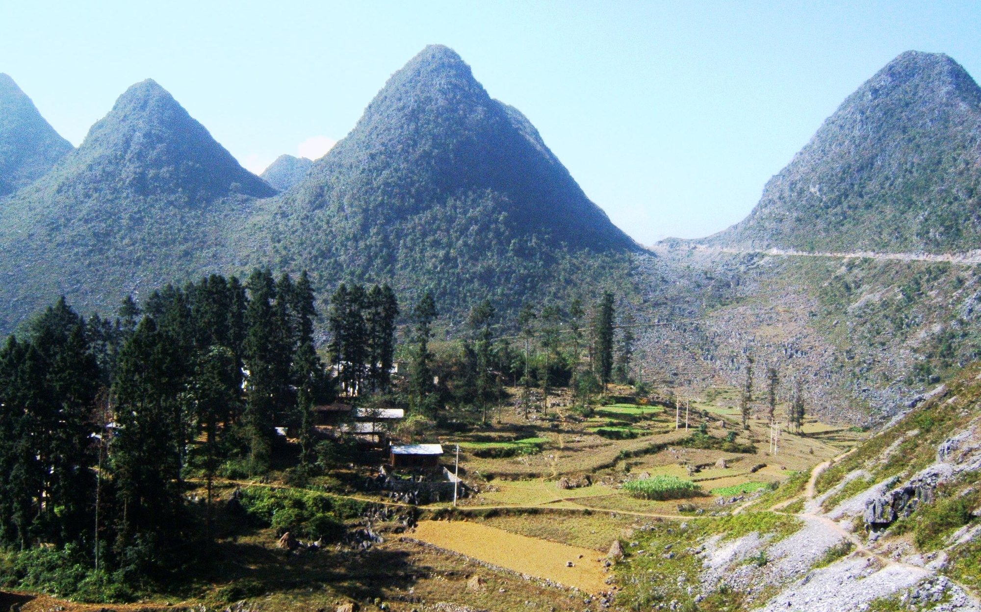
If you ride the Loop in the usual direction (Hà Giang city → Quản Bạ → Yên Minh → Đồng Văn → Mèo Vạc), you reach Thẩm Mã on the second leg, about 10–15 km after leaving Yên Minh town. The slope sits exactly where the landscape changes from the pine-covered hills of Yên Minh to the Rocky Plateau: below lies a still-green valley, above begin the jagged limestone, corn planted in rock pockets and Hmong villages.
Before the provincial merger (1 July 2025) this area belonged to Đồng Văn district, next to Yên Minh district. Hà Giang has since been merged into Tuyên Quang province, districts no longer exist, and the slope now lies in the new Phố Bảng commune. Drivers, easy riders and homestay owners still simply call it "Thẩm Mã slope, Hà Giang", so ask for directions by that name.
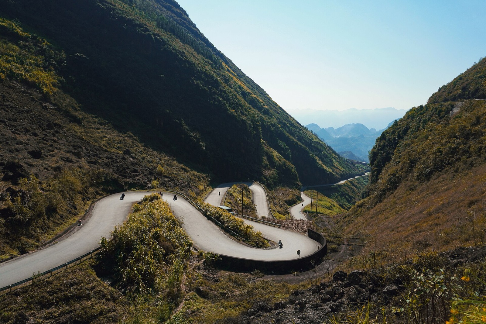
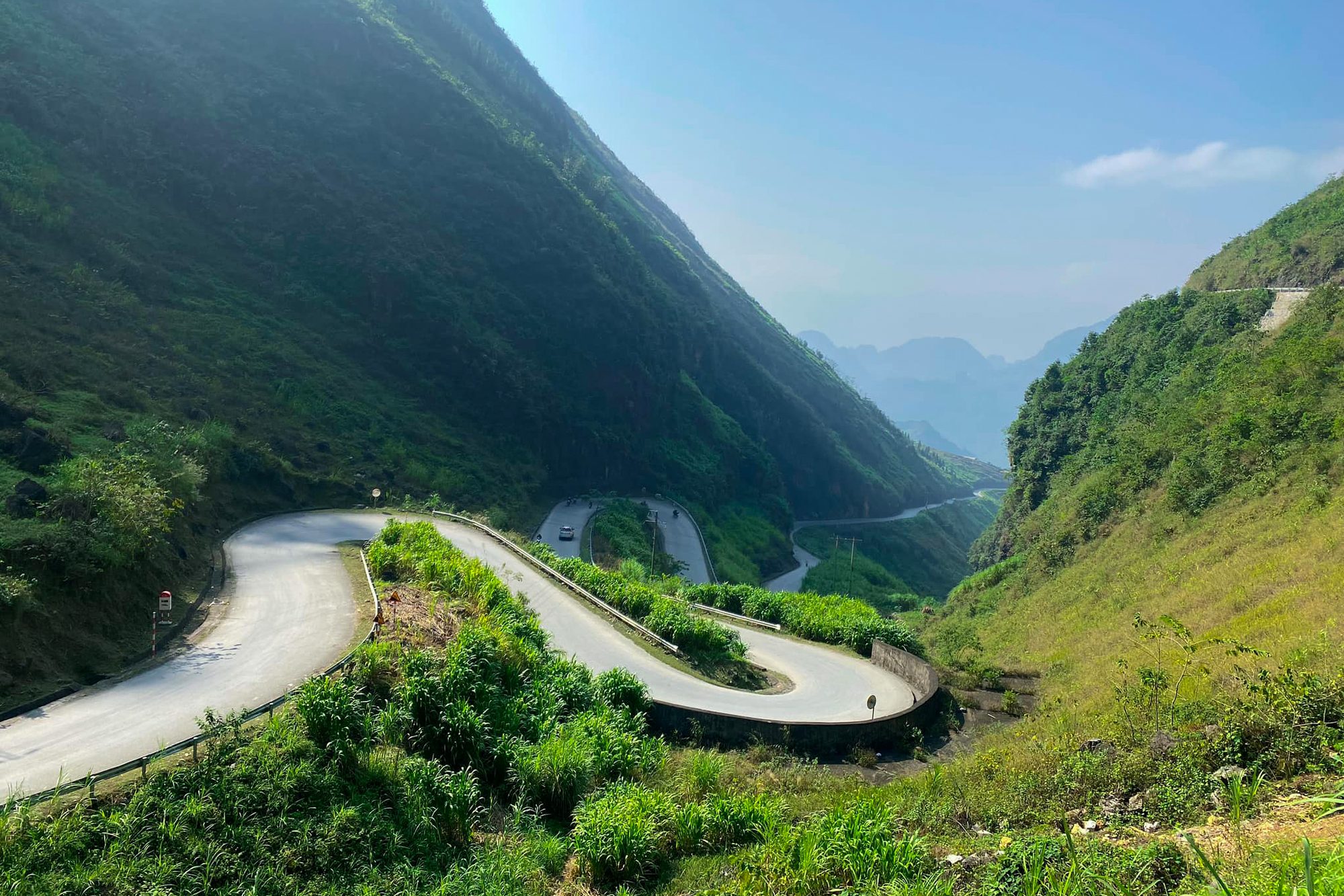
The hairpin bends of the Thẩm Mã slope in summer — Photo: NKSTTSSHNVN, CC BY-SA 4.0, Wikimedia Commons
Why is it called "Thẩm Mã"?
The name is usually understood as "horse-testing slope". According to local lore, highland villagers once loaded their horses with cargo and made them climb from the foot of the slope to the top; horses that arrived with strength to spare were kept for carrying goods and farm work, and those that gave out were not. It is a folk story, but it shows that the slope was a real test for people and horses long before the asphalt arrived.
Thẩm Mã is part of National Road 4C, the route the press often calls the Happiness Road across the Rocky Plateau. Sources disagree on its length: VnExpress gives about 5 km with nine bends, while some travel sites say up to 8 km, depending on where they start and end the climb.
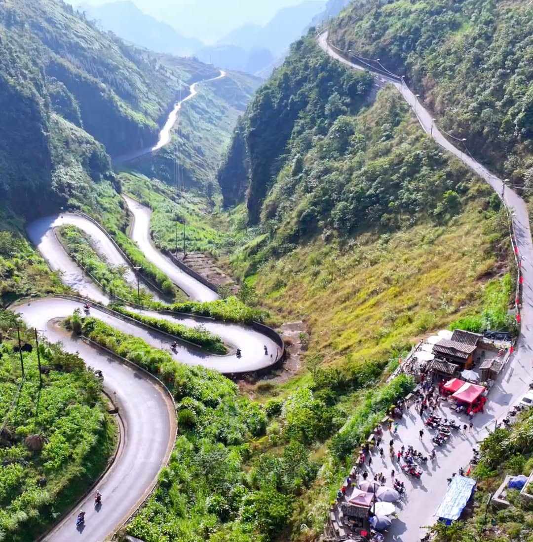
The Thẩm Mã slope from above: hairpins below, and on the right the parking area and stalls at the viewpoint on top
Getting there and where to stop
From Yên Minh, follow QL4C towards Đồng Văn. The road climbs gradually past roadside villages, then enters the run of tight bends. Coming from Yên Minh it is an uphill climb, so on a semi-automatic or manual bike shift down early, keep the throttle steady and stay in your lane through the bends — buses, trucks and tourist cars use this road too.
The photo stop is at the top of the slope. Ride all the way up before stopping, pull fully onto the wide ground beside the road, switch off the engine, then walk to the edge to look. Never stop on the bends to take pictures: traffic behind you cannot see you in time, and just a few badly parked bikes can block the whole stretch.
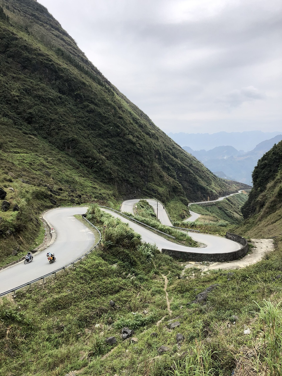
Motorbikes on the bends of the Thẩm Mã slope on a cloudy day — Photo: Sabourock, CC BY-SA 4.0, Wikimedia Commons
If you are not used to riding mountain passes, going with an easy rider is the safer choice: they know the sensible places to stop and how to handle tight bends on a wet road. Our article easy rider or ride yourself compares the two in detail.
Views and photos from the top
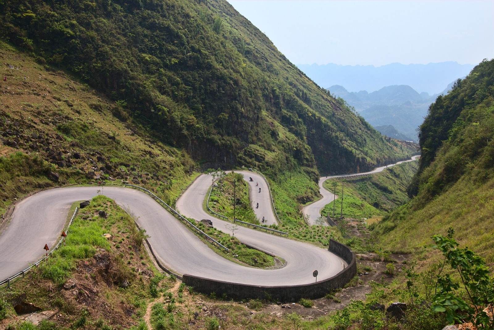
From the top you look down on two pairs of S-bends stacked one above the other, with a retaining wall on the outermost curve, and the road running on down the valley between two near-vertical mountainsides.
The Thẩm Mã slope seen from above in April — Photo: Benjamin Smith, CC BY-SA 4.0, Wikimedia Commons
A few tips for good photos that keep you safe:
Stand on the flat ground close to the road, not over the crash barrier or out on the edge of the embankment; the slopes here are very steep.
Wait for a motorbike to enter a bend: one small bike on the curve gives the picture scale and shows how big the slope really is.
Shoot landscape to get both tiers of bends, portrait if you want the mountainside and the road running down into the valley.
Morning or afternoon light gives the mountains shape; at midday in the dry season there is often haze that flattens the distance.
If you fly a drone, take off away from people and avoid flying directly over traffic and villagers.
Twenty to forty minutes is usually enough to look, take photos and rest.
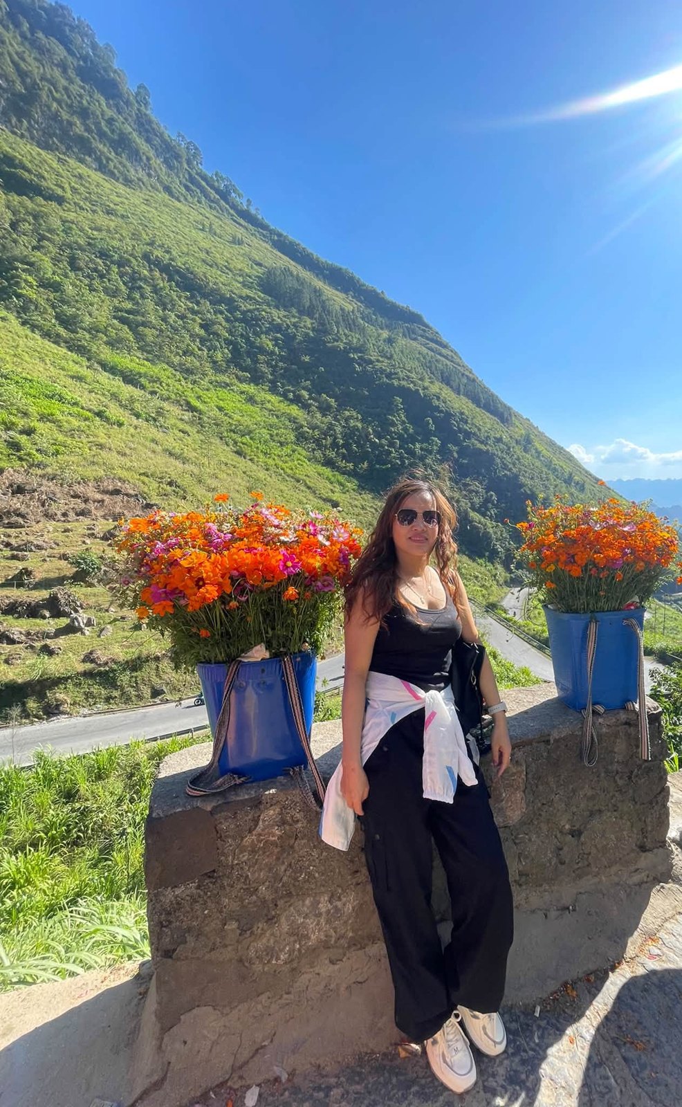
Posing with flower baskets on the stone wall at the Thẩm Mã viewpoint, the bends of the road below
Children, flower baskets and how to behave
At the top of the slope you will often find Hmong children carrying baskets of flowers (buckwheat or mustard flowers, depending on the season) and some adults selling things or inviting visitors to take photos with them. Pictures of the children with their flower baskets have appeared widely in the press and on social media, and many visitors stop here partly because of them.
It can also become uncomfortable. In July 2025 the Vietnamese press reported that a group of foreign visitors who stopped at the slope were surrounded by children and adults who braided their hair and put flowers in it, and that afterwards a 200,000 VND note was taken from one visitor as soon as she opened her wallet. Commune police looked into the reports, and the commune set up a self-management team to keep order in the area. The group's guide also worried that more children gather here during the summer holidays and that some might drop out of school.
A few principles to keep the stop pleasant for you and for the villagers:
Ask before taking photos, especially of children; if they shake their heads or an adult says no, leave it.
If you want a photo with a flower basket, agree beforehand whether you will pay and how much — don't leave it until afterwards.
Keep a few small notes in a separate pocket, and don't open your whole wallet in a crowd.
Don't hand out sweets or money indiscriminately. Many local authorities in Vietnam's northern mountains and many tour operators ask visitors not to give children money or sweets, as it draws them out of school and onto the road.
If you'd like your hair braided or flowers added, say so clearly; if not, decline politely and move on — there is no need to raise your voice.
If you see children being exploited to earn money, you can call Vietnam's national child-protection hotline 111.
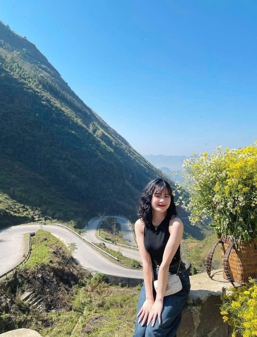
A sunny morning at the top of Thẩm Mã: sitting on the stone wall by a flower basket, the bends behind
When to go
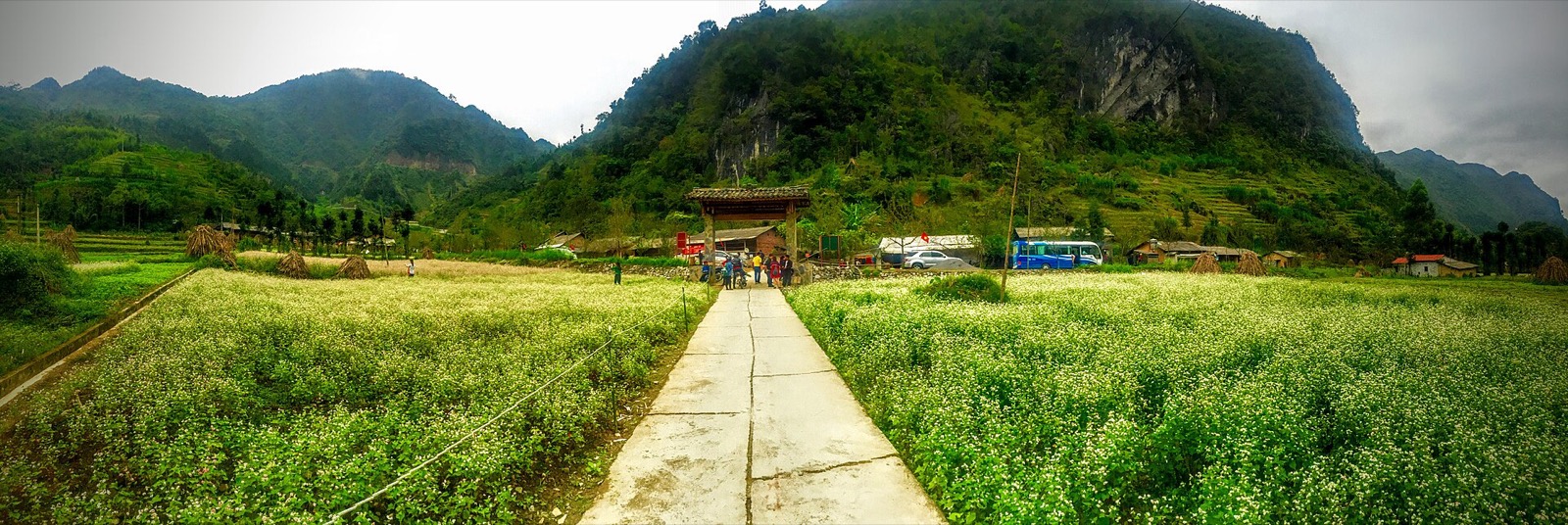
October–November: buckwheat flower season. Local press reports that the area around the Thẩm Mã slope has carpets of flowers planted along the hillsides and is a popular stop during the flower season. In 2026 the 12th Buckwheat Flower Festival opened on the evening of 25 October in Đồng Văn commune, with activities running until the end of December. See buckwheat flower season.
January–March: peach and plum blossom around the villages; in winter and early spring there are also fields of mustard flowers around Lũng Cẩm.
Summer: the mountainsides are lush green, as in the photo above, but it rains a lot; wet roads and sudden fog are common.
November–December: drier and clearer skies, but cold mornings and evenings (often 5–15 °C, colder the higher you go) and early darkness, with sunset around 17:15–17:30.
Buckwheat fields in Sủng Là in early October, on the same stretch of road as Thẩm Mã — Photo: trungydang, CC BY 3.0, Wikimedia Commons
Time of day: if you sleep in Yên Minh and leave after breakfast, you reach the slope in the morning, while the road is still quiet and the sun is not yet harsh. Later in the day is still beautiful, but plan to reach Đồng Văn before dark.
Avoid peak times over holidays and Tết. On the fourth day of Tết in 2026, the Thẩm Mã slope received around 5,000 visitors, roughly ten times a normal day; many people stopped in the middle of the road for photos, causing jams in which some vehicles waited almost an hour and moved only a few metres. If you travel then, set off very early, book your room in advance and keep your stop short.
Safety on the slope
Don't ride this stretch at night; local authorities also advise limiting night travel and not stopping on narrow sections.
Fog and drizzle make the surface slippery: turn your lights on, slow down, keep your distance and never overtake on a bend.
Going downhill (riding the other way, from Đồng Văn back to Yên Minh): use a low gear to hold your speed, brake gently and steadily, and never grab the brakes mid-bend.
A manual or semi-automatic bike with a confident rider is better suited than a scooter if you ride yourself; check brakes and tyres before leaving Yên Minh.
Thẩm Mã on the Yên Minh – Đồng Văn leg
Thẩm Mã is the first stop on the most scenic leg up to Đồng Văn. After the slope, QL4C passes Phố Cáo, the Chín Khoanh slope, the Sủng Là valley and Sà Phìn before reaching the old quarter. If you start from Yên Minh, don't miss the Yên Minh pine forest just before.
Phố Cáo
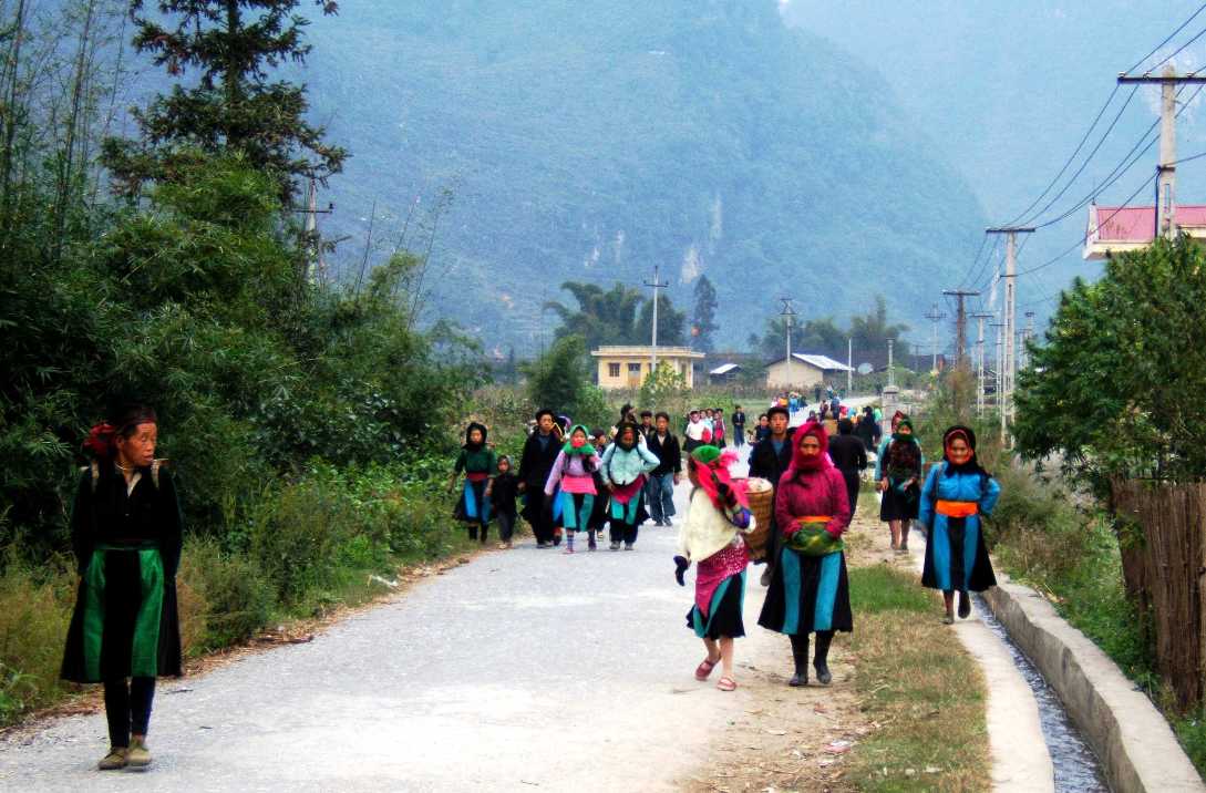
Right after the slope comes Phố Cáo, a cluster of villages among the limestone peaks that used to be a commune of its own and is now also part of Phố Bảng commune. Phố Cáo is about 25 km from central Đồng Văn and holds a market every six days, usually from early morning until noon: villagers bring chickens, pigs, cloth, scarves, hand-forged knives and freshly picked vegetables. Because the market doesn't fall on a fixed weekday, ask your homestay in Yên Minh the evening before. Read more about Hà Giang's ethnic markets.
Villagers walking to the Phố Cáo market (photo from 2005) — Photo: BacLuong at Vietnamese Wikipedia, public domain, Wikimedia Commons
Phố Cáo is also a good place for breakfast if you leave Yên Minh early: five-colour sticky rice (xôi ngũ sắc), bánh bò rice cakes, thắng cố stew and bamboo-tube rice (cơm lam); if it's market day, eat right in the market.
The Chín Khoanh slope and the Sủng Là valley
Past Phố Cáo, before you drop into the Sủng Là valley, QL4C twists again into a string of consecutive bends known as the Chín Khoanh slope ("nine coils"). As at Thẩm Mã, stop on the wide ground at the top to look, not in the middle of the road. See our separate guide to the Chín Khoanh slope.
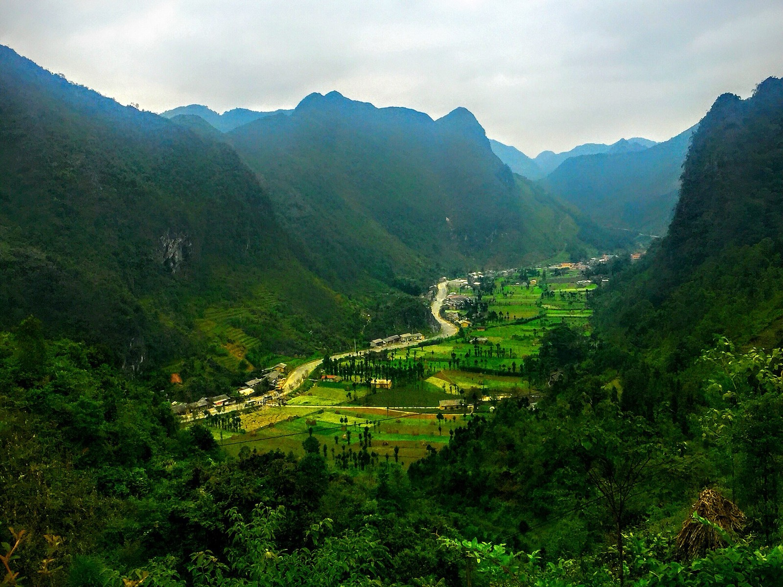
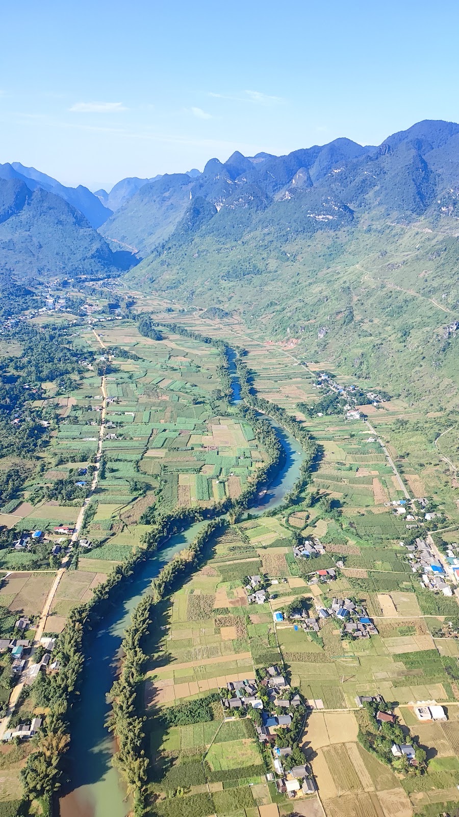
The Sủng Là valley seen from above — Photo: trungydang, CC BY 3.0, Wikimedia Commons
Sủng Là is a valley at the foot of limestone mountains, about 20 km from Đồng Văn. The Hmong here grow buckwheat on the hillsides, and October–November is when the valley looks its best.
Pao's House in Lũng Cẩm
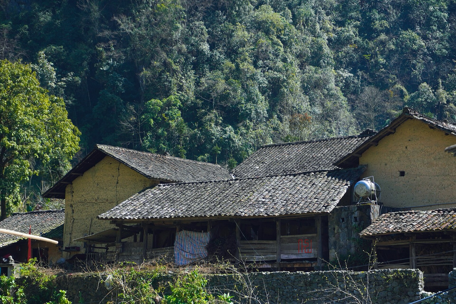
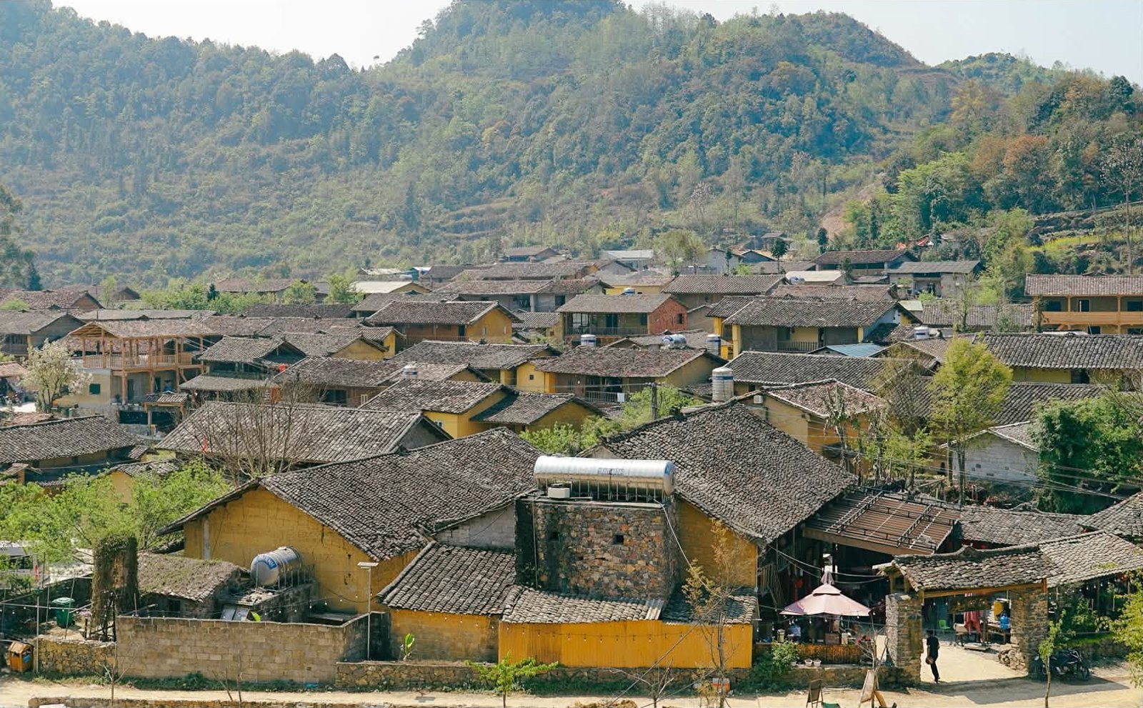
In the Sủng Là valley lies the Lũng Cẩm cultural village and Pao's House (Nhà của Pao), the house used as a setting for the film "Pao's Story" (Chuyện của Pao). It is built around an enclosed courtyard, with rammed-earth walls and yin-yang tiles, surrounded by plum and peach trees. Entry is about 10,000 VND per person. The village lanes are lined with rammed-earth houses and dry-stone walls, ideal for a slow walk of half an hour or so. See our guide to Pao's House in Lũng Cẩm.
Rammed-earth houses in Lũng Cẩm, Sủng Là — Photo: NKSTTSSHNVN, CC BY-SA 4.0, Wikimedia Commons
The Hmong King Palace in Sà Phìn
Further towards Đồng Văn is Sà Phìn commune, home to the Vương Family Mansion (Hmong King Palace, Dinh Vua Mèo), about 13 km from central Đồng Văn. The palace sits on a mound in the valley right beside QL4C and is reached by a short side road; tickets are about 20,000–25,000 VND, and it is usually open from the morning until around 5 pm. Pao's House is roughly 7–10 km from the palace, so many people visit both in the same afternoon. Details in our guide to the Hmong King Palace in Sà Phìn.
The Vương family mansion in Sà Phìn, seen from the national road — Photo: BacLuong at Vietnamese Wikipedia, public domain, Wikimedia Commons
A suggested Yên Minh – Đồng Văn day
Morning: leave Yên Minh, stop at the Thẩm Mã slope, have breakfast in Phố Cáo (or visit the market if it's market day).
Midday: the Chín Khoanh slope, the Sủng Là valley, Pao's House.
Afternoon: the Hmong King Palace in Sà Phìn, then on to the Đồng Văn old quarter to check in before dusk.
Yên Minh to Đồng Văn is only about 45–50 km, but with this many stops you should allow a full day. The complete itinerary is in our 4-day, 3-night Hà Giang Loop itinerary.
Food and where to stay
At the top of the slope there are usually only a few small vendors, so don't count on it for a proper meal. Breakfast is easiest in Phố Cáo; for lunch, try the roadside eateries around Sủng Là and Sà Phìn, or wait until Đồng Văn.
Accommodation: most itineraries spend the night before in Yên Minh and the night after in the Đồng Văn old quarter, which has the widest choice. Villages along the way such as Sủng Là also have small homestays; if you want to stay, ask and book ahead, especially in flower season and over Tết. For dishes worth trying on the plateau, see Hà Giang specialities to try.
Adding a paragliding flight to your trip
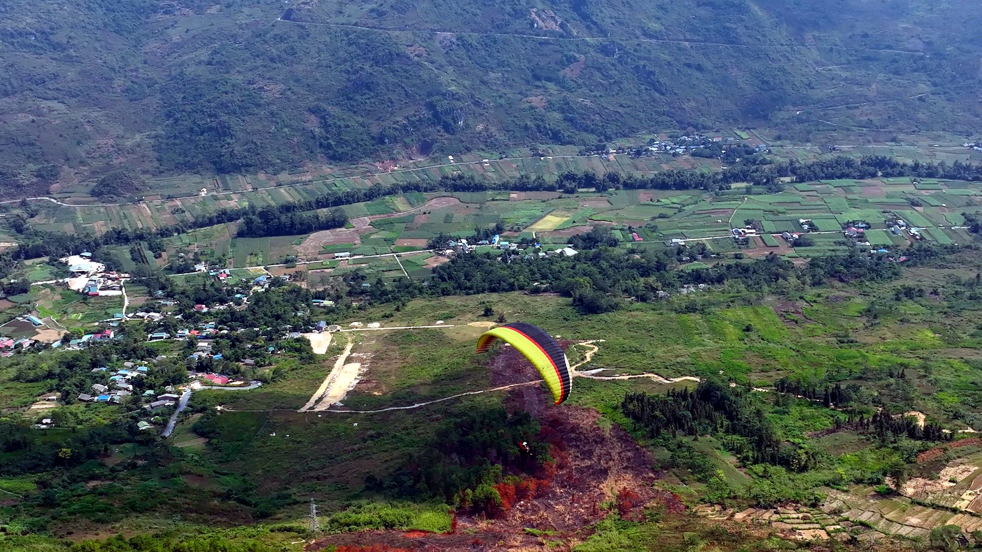
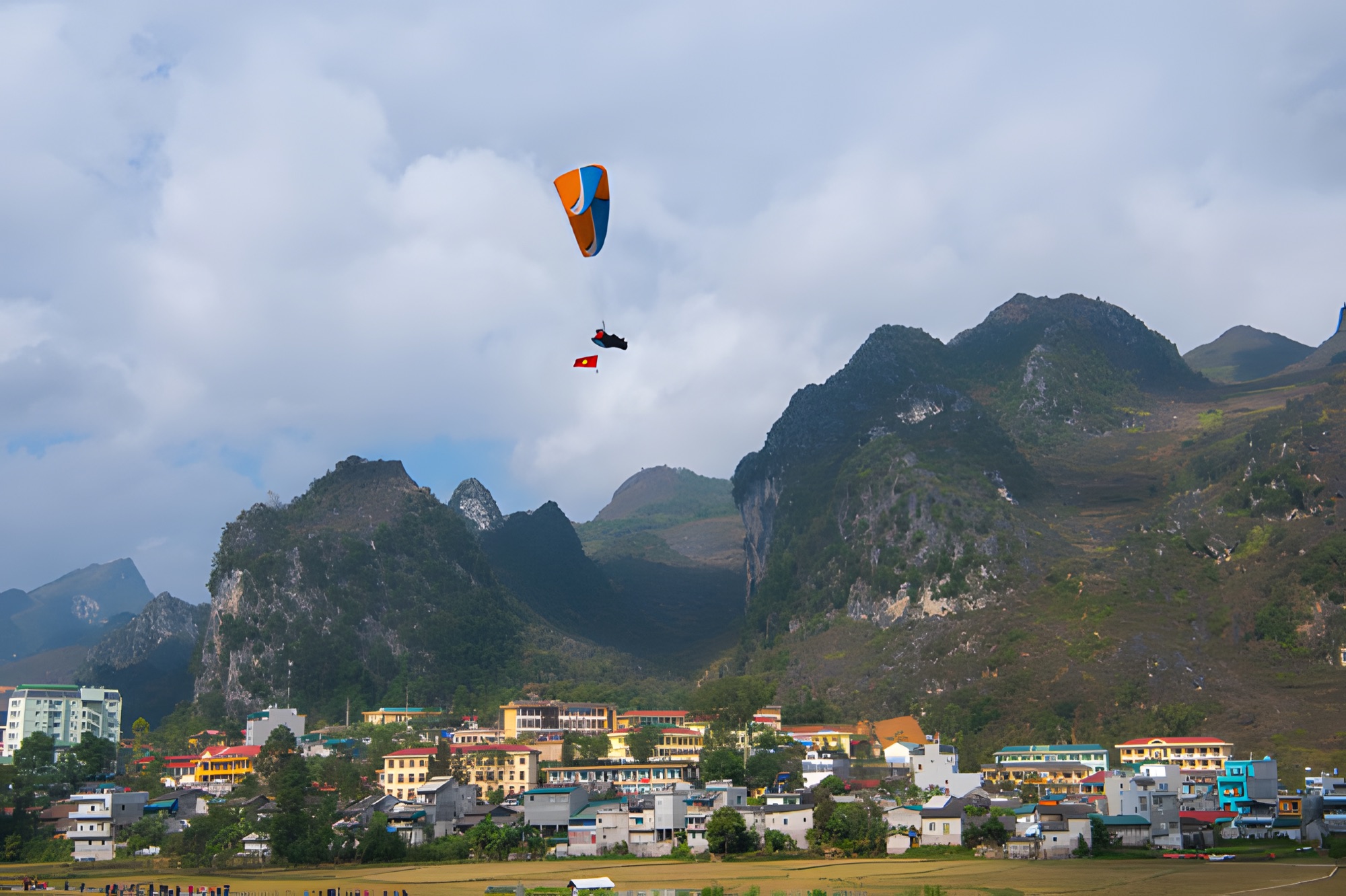
Before Yên Minh, the Loop passes Quản Bạ at around Km45, where the Mebayluon flying team flies paragliders and paramotors daily from 06:30 to 18:30 over the Fairy Twin Mountains and the Miện river valley (Quản Bạ flying site). If you enjoyed looking down on the bends at Thẩm Mã, a tandem flight with a pilot at Quản Bạ lets you see a whole valley that way, and no flying experience is needed. Up in Đồng Văn, tandem paragliding over the old quarter and the Rocky Plateau is possible by appointment, scheduled around the wind — see paragliding in Đồng Văn. Before your flying day, you can check the flying-weather forecast or book here.
Frequently asked questions
Where is the Thẩm Mã slope, and how far is it from Yên Minh?
On National Road 4C between Yên Minh and Đồng Văn, about 10–15 km after Yên Minh town and just before Phố Cáo; it is now in Phố Bảng commune, Tuyên Quang province.
What does "Thẩm Mã" mean?
It is usually understood as "horse-testing": according to legend, villagers had their pack horses climb this slope, and those that reached the top still strong were kept.
Is there a fee to stop at the Thẩm Mã slope?
The slope is a stretch of national road with no ticket gate. If you take photos with the children and their flower baskets or use any local service, ask and agree on terms first.
Where is it safe to stop for photos?
On the wide ground at the top of the slope — pull fully off the road and switch off the engine. Never stop on the bends or on narrow sections.
Should I give money or sweets to the children at the slope?
Many local authorities and tour operators ask visitors not to give children money or sweets, so that they don't leave school for the roadside. If you want a photo with them, ask first and make any arrangement clear.
Cover photo: NKSTTSSHNVN, CC BY-SA 4.0, Wikimedia Commons
Book a flight:book online — no deposit, free cancellation
Bắc Sum Pass or Quản Bạ? A side-by-side look at the two flying sites on the QL4C near Hà Giang city: distance, landing field, valley width, paragliding and paramotor, a flying morning at Quản Bạ, getting there and fitting the flight into the Hà Giang Loop…
Quản Bạ or Đồng Văn? An honest comparison of our two flying sites on the Hà Giang Loop: location, getting there, scenery, paragliding vs paramotor, what a flying session looks like, wind and schedule, price, and how to fly both…
The Chín Khoanh slope is a stack of hairpin bends on QL4C between Phố Cáo and Sủng Là, about 18 km past Yên Minh and 27 km before Đồng Văn: why it's called "nine coils", the best viewpoint, how to stop safely, how it differs from Thẩm Mã and what to see nearby…
A practical guide to the Mã Pí Lèng Sky Path, the cliff-edge walking trail above the Nho Quế River: the trailhead at the Youth Volunteers monument, the route section by section, the death rock closure (October 2026), what to wear, when to go and how to pair it with a Tu Sản canyon boat trip…
A guide to Lô Lô Chải, the Lô Lô village at the foot of the Lũng Cú flag tower: rammed-earth houses, costume and bronze drums, Café Cực Bắc, homestays, the road from Đồng Văn, 2026–2027 traffic rules and village etiquette…
The Yên Minh pine forest lines Highway 4C about 7–8 km before Yên Minh town on the Quản Bạ side: exact location, commune after the 2025 merger, best light, how to stop safely, what's nearby and how to fit it into a 3- or 4-day Loop…